Braithwaite, Low
Settlement in Cumberland Eden
England
Braithwaite, Low

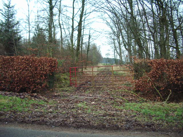
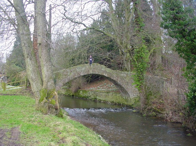
Braithwaite, Low, Cumberland is a small village located in the county of Cumbria, England. Situated within the Lake District National Park, this picturesque village offers breathtaking views of the surrounding mountains and lush green valleys.
With a population of around 400 residents, Braithwaite, Low, Cumberland maintains a close-knit community atmosphere. The village is known for its charming stone cottages and traditional architecture, which adds to its quaint and timeless appeal. The area has a rich history, with evidence of settlements dating back to the Roman era.
Nature enthusiasts and outdoor adventurers are drawn to Braithwaite, Low, Cumberland due to its proximity to the stunning landscapes of the Lake District. The village is a popular starting point for hiking, with several well-marked trails leading to nearby peaks such as Grisedale Pike and Causey Pike. The nearby Whinlatter Forest Park offers further opportunities for outdoor activities, including mountain biking and wildlife spotting.
Braithwaite, Low, Cumberland is well-served by amenities, including a village shop, post office, and a welcoming pub. The village also has a primary school and a church, providing essential services for its residents.
Overall, Braithwaite, Low, Cumberland offers a tranquil and idyllic setting for those seeking a peaceful retreat amidst the natural beauty of the Lake District. Its charming character, stunning scenery, and close-knit community make it a truly special place to visit or call home.
If you have any feedback on the listing, please let us know in the comments section below.
Braithwaite, Low Images
Images are sourced within 2km of 54.771443/-2.893776 or Grid Reference NY4242. Thanks to Geograph Open Source API. All images are credited.


Braithwaite, Low is located at Grid Ref: NY4242 (Lat: 54.771443, Lng: -2.893776)
Administrative County: Cumbria
District: Eden
Police Authority: Cumbria
What 3 Words
///aged.tunnel.gobblers. Near Dalston, Cumbria
Nearby Locations
Related Wikis
Ivegill
Ivegill is a small village in Cumbria, England. The village has one place of worship and a school. It is located on an unclassified road near Southwaite...
Inglewood Forest
Inglewood Forest is a large tract of mainly arable and dairy farm land with a few small woodland areas between Carlisle and Penrith in the English non...

Middlesceugh
Middlesceugh is a hamlet in the civil parish of Skelton, in the Eden district, in the county of Cumbria, England. Middlesceugh has a SSSI called Middlesceugh...

High Head Castle
High Head Castle is a large fortified manor house in the English county of Cumbria. It is located between Carlisle and Penrith. The house is now largely...
River Ive
The River Ive is a river in the county of Cumbria, England. The Ive rises near the settlement of Hutton End and flows north-north-west, through Ivegill...
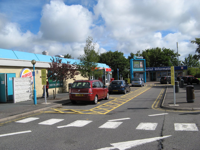
Southwaite Services
Southwaite services is a motorway service station, between junctions 41 and 42 of the M6 motorway near Southwaite, Cumbria, England. It is about 7 miles...

Morton, Eden
Morton is a hamlet near the village of Calthwaite, in the civil parishes of Hesket and Skelton, within the Eden district of the English county of Cumbria...

Southwaite railway station
Southwaite railway station in Hesket parish, was situated on the Lancaster and Carlisle Railway (the West Coast Main Line) between Carlisle and Penrith...
Nearby Amenities
Located within 500m of 54.771443,-2.893776Have you been to Braithwaite, Low?
Leave your review of Braithwaite, Low below (or comments, questions and feedback).