Seal Carr
Coastal Feature, Headland, Point in Fife
Scotland
Seal Carr
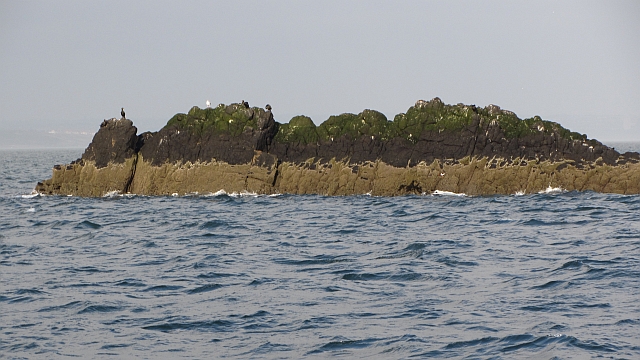
Seal Carr is a prominent coastal feature located in Fife, Scotland. It is classified as a headland or point due to its distinctive geographical characteristics and its role in shaping the local coastline.
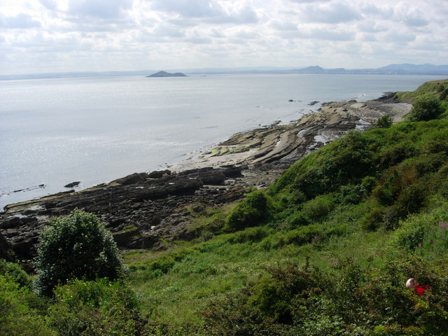
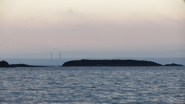
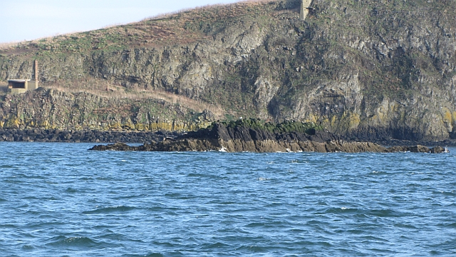
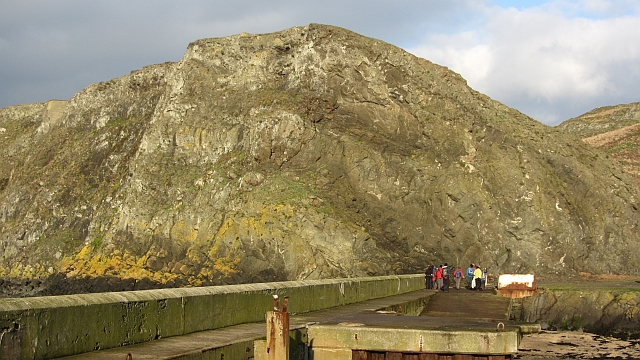
Situated along the eastern coast of Scotland, Seal Carr stands out as a significant landmark due to its unique formation and its historical significance. The headland is characterized by its rocky cliffs, which rise steeply from the surrounding sea. These cliffs are composed of sedimentary rock layers, displaying a variety of colors and textures, adding to the visual appeal of the area.
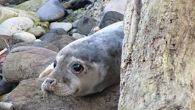
Seal Carr is also known for its diverse wildlife, particularly its seal population. The headland provides an ideal habitat for seals, offering them sheltered rocky areas and ample food sources. Visitors often have the opportunity to observe these fascinating marine creatures basking on the rocks or swimming in the surrounding waters.
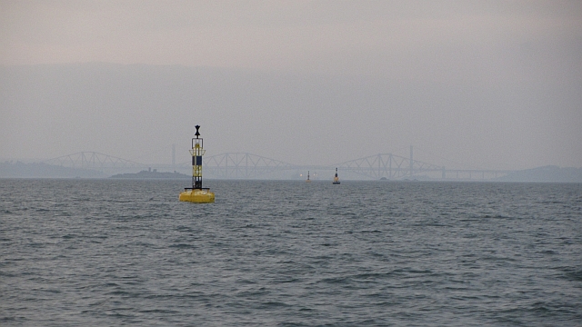
The headland also offers spectacular panoramic views of the North Sea and the surrounding coastal landscape. On clear days, one can see distant coastal towns and even catch a glimpse of passing ships or fishing vessels.
Seal Carr is a popular destination for nature enthusiasts, hikers, and photographers, who visit to experience its natural beauty and capture its breathtaking scenery. The headland provides numerous walking trails, allowing visitors to explore the rugged coastline and discover hidden coves and inlets.
Overall, Seal Carr in Fife is a captivating coastal feature that combines stunning natural beauty, diverse wildlife, and a rich cultural history. Its unique geological formations, abundant seal population, and panoramic views make it a must-visit destination for anyone exploring the Scottish coastline.
If you have any feedback on the listing, please let us know in the comments section below.
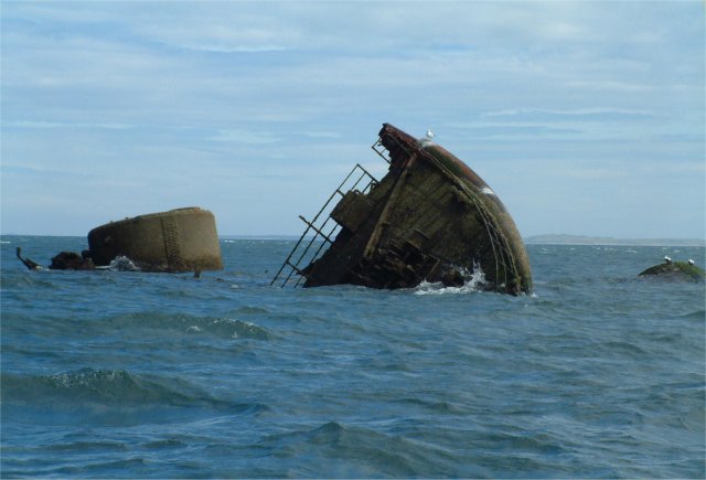
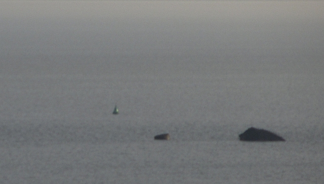
Seal Carr Images
Images are sourced within 2km of 56.032841/-3.1431958 or Grid Reference NT2882. Thanks to Geograph Open Source API. All images are credited.
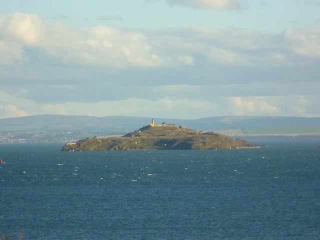
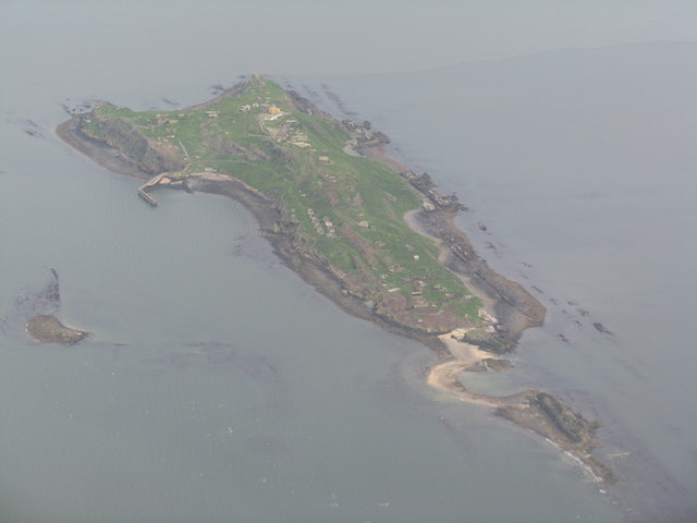
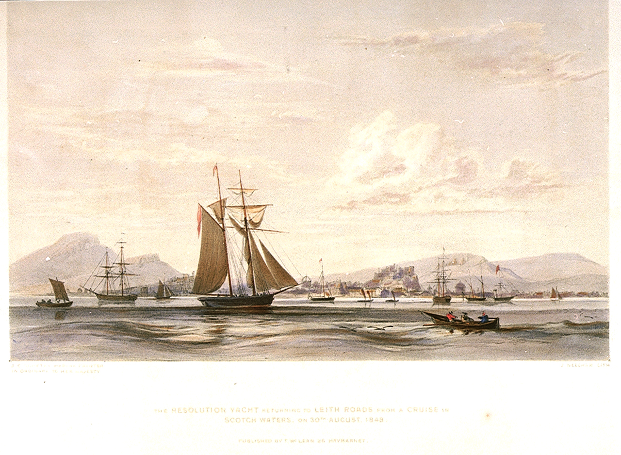
![Inchkeith in the Firth of Forth &quot;It is oure soverane Lordis Will, and the Command of the Lordis of his Counsall, sent to the Provest and Bailies within this Burgh, that this Proclamation followand be put to Execution for the eschewing [avoidance] of the greit apperand Danger of the Infectioun of his Lieges [loyal subjects] fra a contagious Siknes callit the Grandgore*, and the greit other Skaith [harm] that may occure to his Lieges and Inhabitons within this Burgh. 22d September 1497.
That is to say, We charge straitlie and command, be the Authoritie above writtin, that all Maner of Personis being within the Fredome of this Burgh, quhilk are infectit, or has bene infectit and uncurit of this said contagious Plage callit the Grandgore, devoyd [evacuate], red and pass furth of this Toun, and compair [assemble] upoun the Sandis of Leith, at ten Houris before None, and thair sall have and fynd Botis reddie in the Havin ordainit to thame be the Officaris of this Burgh, reddelie furneist with Victualls [food], to have thame to the Inch [island], and thair to remane quhill [until] God provyde for thair Health; and that all uther Personis, the quhilk taks upoun thame to hale [heal] the said contagious Infirmitie, and taks the Cure thairof, that thay devoyd and pass with thame...and quha so be is fundin infectit, and not passand to the Inch as said is, be Mononday at the Sone ganging to [by Monday sunset]...ilk [each] of thame sall be brynt on the Cheike [burnt on the cheek] with the marking Irne, that they may be kennit in Tyme to cum; and thairefter, give [if] ony of thame remains, thay sall be banist but [without] Favour.&quot; -- letter from the Privy Council to the Edinburgh Magistrates (in the reign of James IV)
*Scots name for syphilis, believed to have been introduced to Europe by a crew of sailors with Columbus in 1493; there was a major epidemic in Naples in 1494](https://s3.geograph.org.uk/geophotos/02/67/43/2674387_b0838f9f.jpg)
Seal Carr is located at Grid Ref: NT2882 (Lat: 56.032841, Lng: -3.1431958)
Unitary Authority: Fife
Police Authority: Fife
What 3 Words
///poet.cost.until. Near Kinghorn, Fife
Nearby Locations
Related Wikis

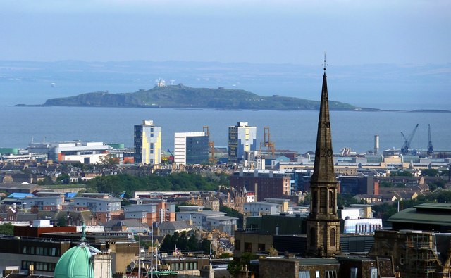
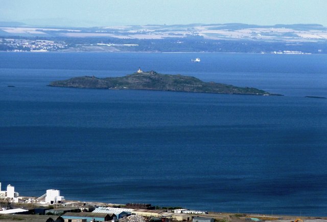
Inchkeith
Inchkeith (from the Scottish Gaelic: Innis Cheith) is an island in the Firth of Forth, Scotland, administratively part of the Fife council area. Inchkeith...
Leith Roads
Leith Roads is a stretch of water off the coastal town of Leith, Scotland. The waters extend about two miles (3 km) offshore and provide a generally safe...

Kinghorn Lifeboat Station
Kinghorn Lifeboat Station is a RNLI station located in the town of Kinghorn in Fife, Scotland. The station is currently equipped with an Atlantic 85 inshore...

Kinghorn
Kinghorn ( ; Scottish Gaelic: Ceann Gronna) is a town and parish in Fife, Scotland. A seaside resort with two beaches, Kinghorn Beach and Pettycur Bay...
Nearby Amenities
Located within 500m of 56.032841,-3.1431958Have you been to Seal Carr?
Leave your review of Seal Carr below (or comments, questions and feedback).