Bellypuff
Coastal Feature, Headland, Point in Fife
Scotland
Bellypuff
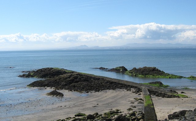
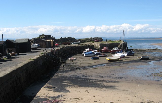
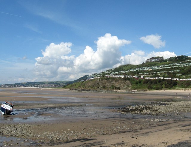
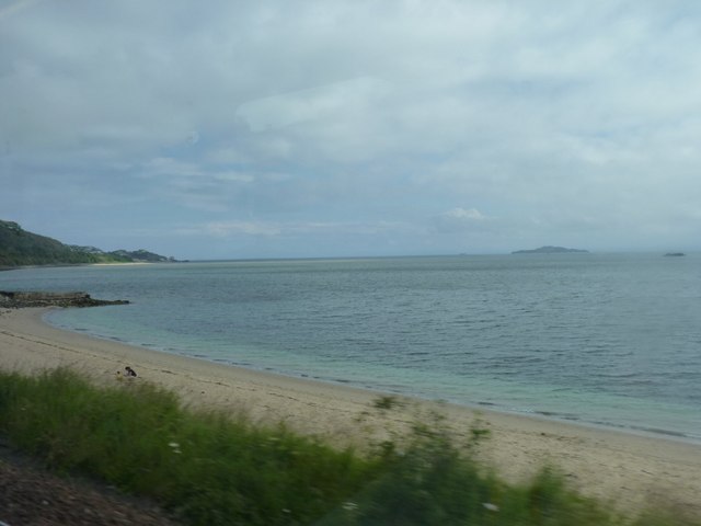
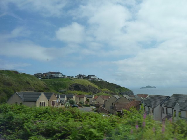
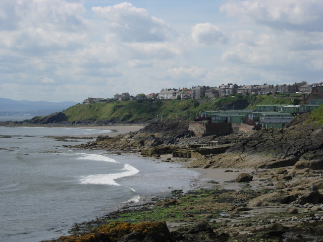
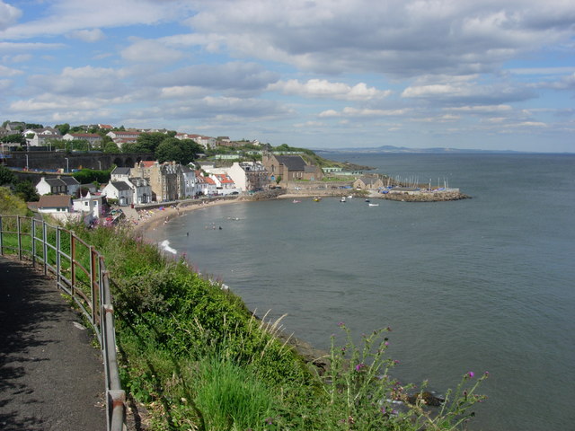
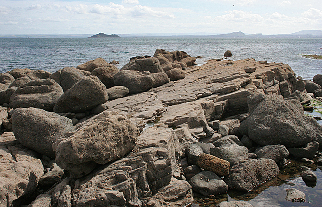
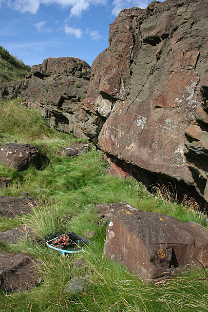
Bellypuff is a headland located on the coast of Fife, Scotland. Positioned at the eastern edge of the region, Bellypuff juts out into the North Sea, forming a distinctive and prominent point along the coastline.
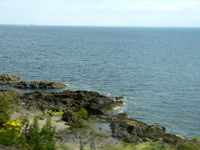
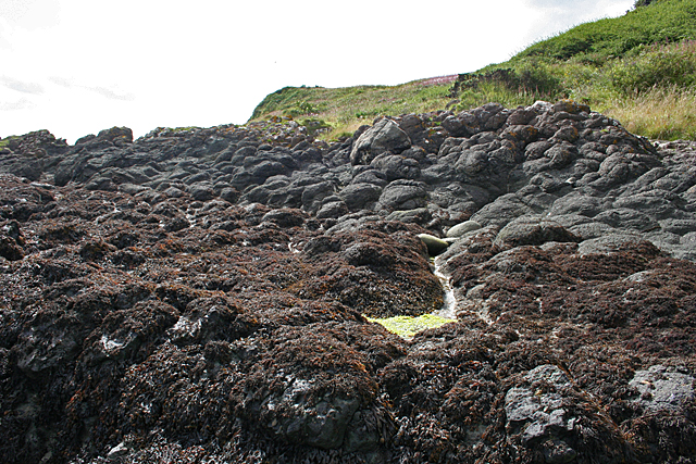
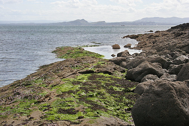
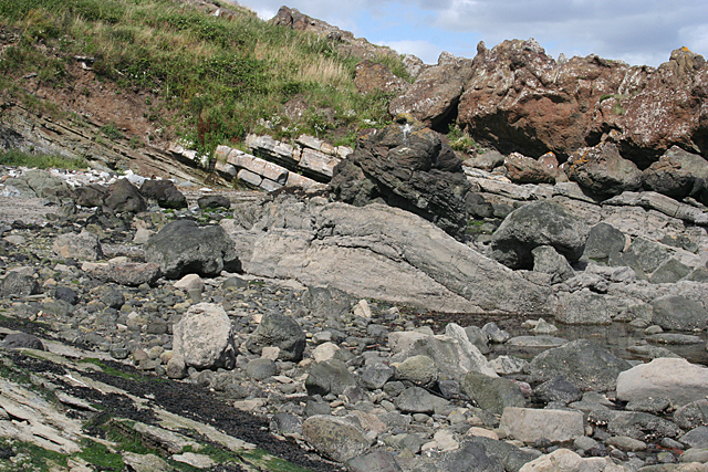
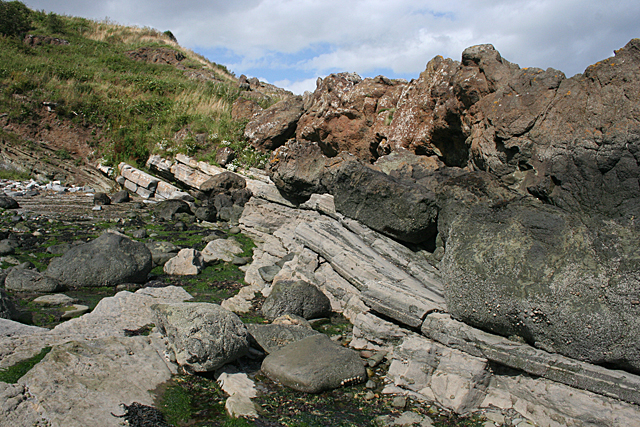
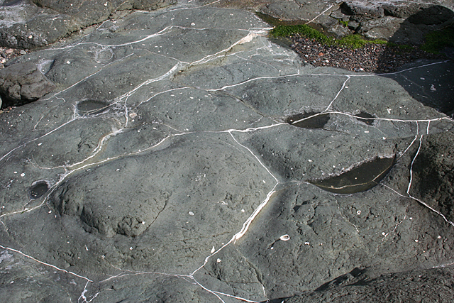
This coastal feature is characterized by its rugged and rocky terrain, with steep cliffs that drop down into the sea below. The headland offers breathtaking panoramic views of the surrounding coastline and the vast expanse of the North Sea. The cliffs are often adorned with grasses and shrubs, creating a picturesque landscape that attracts visitors and nature enthusiasts alike.
Bellypuff is known for its diverse wildlife and serves as a habitat for various species of seabirds, including gulls, cormorants, and puffins. The headland is also home to a variety of marine life, with seals and dolphins occasionally spotted in the waters surrounding the point.
The area surrounding Bellypuff offers ample opportunities for outdoor activities such as hiking and birdwatching. Visitors can explore the numerous walking trails that wind through the headland, providing access to the stunning coastal views and the chance to observe the local wildlife.
In addition to its natural beauty, Bellypuff also holds historical significance. The headland is believed to have been inhabited by humans for thousands of years, with archaeological remains indicating ancient settlements in the area.
Overall, Bellypuff is a captivating and picturesque coastal feature, offering a blend of natural beauty, wildlife, and historical significance that make it a must-visit destination for those exploring the Fife coastline.
If you have any feedback on the listing, please let us know in the comments section below.
Bellypuff Images
Images are sourced within 2km of 56.071485/-3.1693197 or Grid Reference NT2787. Thanks to Geograph Open Source API. All images are credited.

Bellypuff is located at Grid Ref: NT2787 (Lat: 56.071485, Lng: -3.1693197)
Unitary Authority: Fife
Police Authority: Fife
What 3 Words
///reporting.fattening.steepest. Near Kinghorn, Fife
Nearby Locations
Related Wikis

Kinghorn
Kinghorn ( ; Scottish Gaelic: Ceann Gronna) is a town and parish in Fife, Scotland. A seaside resort with two beaches, Kinghorn Beach and Pettycur Bay...

Newburgh Town House
Newburgh Town House is a municipal building in the High Street in Newburgh, Fife, Scotland. The structure, which is used as a series of artists' studios...

Kinghorn Town Hall
Kinghorn Town Hall is a municipal building in St Leonard's Place, Kinghorn, Fife, Scotland. The structure, which is used as holiday accommodation for tourists...
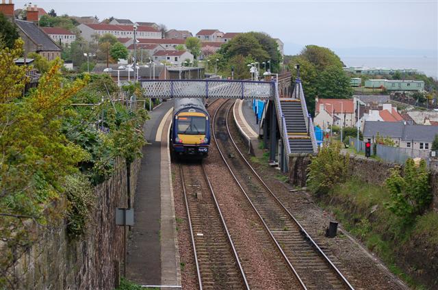
Kinghorn railway station
Kinghorn railway station is a railway station in the town of Kinghorn, Fife, Scotland. The station is managed by ScotRail and is on the Fife Circle Line...

Kinghorn Lifeboat Station
Kinghorn Lifeboat Station is a RNLI station located in the town of Kinghorn in Fife, Scotland. The station is currently equipped with an Atlantic 85 inshore...
Seafield Colliery
Seafield Colliery was in Kirkcaldy, Fife, Scotland. Work on the colliery was started on 12 May 1954 and production began in 1966. On 10 May 1973, five...

Stark's Park
Stark's Park is a football stadium in Kirkcaldy, Scotland. It is the home ground of Raith Rovers, who have played there since 1891. The ground has an all...

Binnend
Binnend, also known as Binnend Village and The Binn, is an abandoned industrial village located two miles north of Burntisland in Fife. It was established...
Nearby Amenities
Located within 500m of 56.071485,-3.1693197Have you been to Bellypuff?
Leave your review of Bellypuff below (or comments, questions and feedback).