Biggins, Low

Settlement in Westmorland South Lakeland

England

Biggins, Low

Small Stream at Kearstwick
Small Stream at Kearstwick Credit: David Dixon

Biggins, Low, Westmorland is a small village located in the county of Cumbria, England. Situated in the picturesque region of the Lake District National Park, it is surrounded by stunning natural beauty and offers a tranquil and idyllic setting for residents and visitors alike.

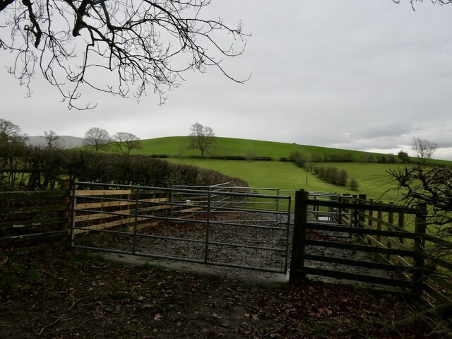
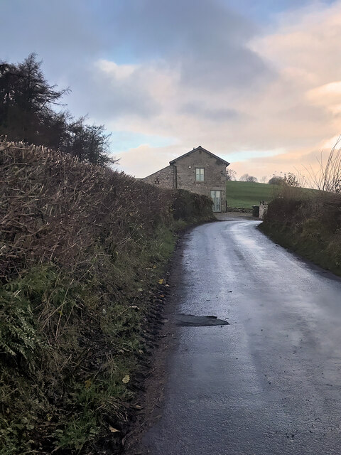
The village of Biggins, Low, Westmorland is known for its charming rural character and traditional English architecture. The houses in the village are mostly made of local stone, giving them a distinctive charm. The village's location also provides breathtaking views of the nearby rolling hills and expansive countryside.

Despite its small size, Biggins, Low, Westmorland has a close-knit community that takes pride in its heritage and history. The village has a medieval church, St. John the Baptist, which serves as a focal point for religious and community events. It also has a village hall that hosts various social gatherings and activities throughout the year.

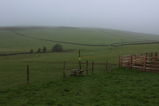
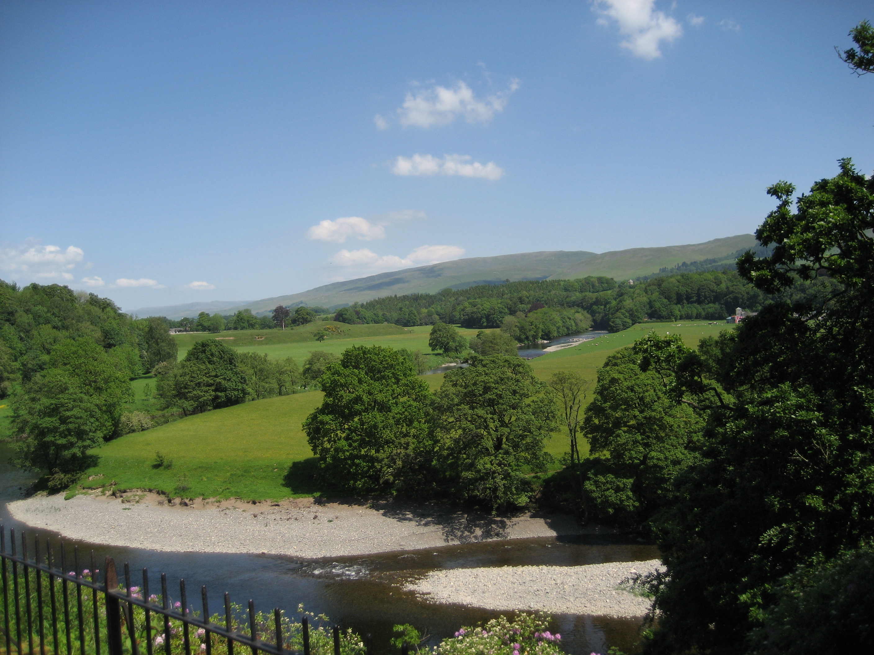
Nature enthusiasts will find plenty to explore in and around Biggins, Low, Westmorland. The village is surrounded by lush green fields, woodlands, and meandering streams, making it an ideal destination for hiking, cycling, and leisurely walks. Close by, the Lake District National Park offers vast opportunities for outdoor adventures, including climbing, boating, and wildlife spotting.

Although Biggins, Low, Westmorland may be a peaceful and remote village, it is not far from amenities and services. The nearby town of Kendal provides a range of shops, supermarkets, and restaurants for residents' convenience.

Overall, Biggins, Low, Westmorland is a charming and picturesque village that offers a perfect retreat for those seeking peace, natural beauty, and a close-knit community atmosphere.

If you have any feedback on the listing, please let us know in the comments section below.
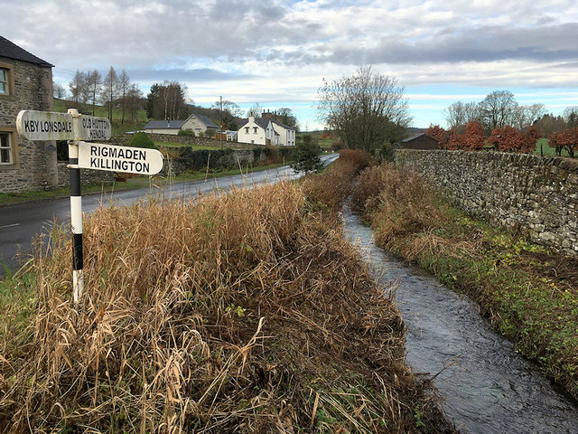
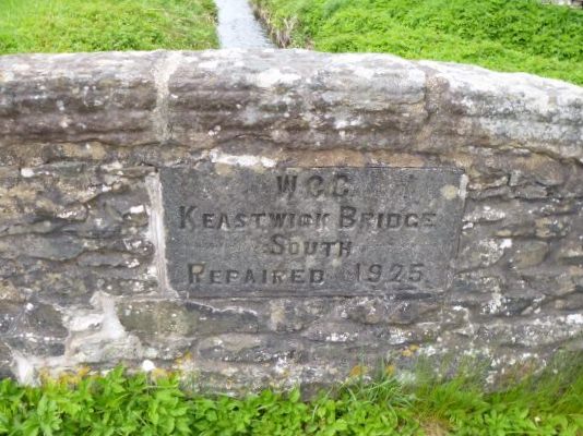
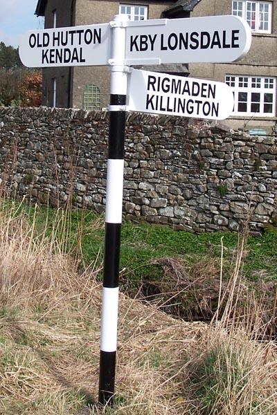
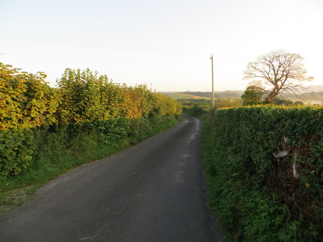
Biggins, Low Images

Images are sourced within 2km of 54.19714/-2.607296 or Grid Reference SD6078. Thanks to Geograph Open Source API. All images are credited.

Small Stream at Kearstwick
Road Junction at Kearstwick
Old Bridge Marker on Keastwick Bridge South, off the B6254, Kearstwick Bridge Marker just off the B6254, in parish of Kirkby Lonsdale (South Lakeland District), Keastwick Bridge South (at, but not on B6254), built into North parapet.

Inscription reads:- : WCC / KEASTWICK BRIDGE / SOUTH / REPAIRED 1925 :

Surveyed

Milestone Society National ID: WE_KLKDa00br
Old Bridge Marker on Keastwick Bridge South, off the B6254, Kearstwick
Bridge Marker just off the B6254, in parish of Kirkby Lonsdale (South Lakeland District), Keastwick Bridge South (at, but not on B6254), built into North parapet. Inscription reads:- : WCC / KEASTWICK BRIDGE / SOUTH / REPAIRED 1925 : Surveyed Milestone Society National ID: WE_KLKDa00br
Direction Sign - Signpost by the B6254, Kearstwick No finial - 3 arms; by the B6254, in parish of Kirkby Lonsdale (South Lakeland District), Kearstwick.

Surveyed

Milestone Society National ID: WE_SD6080
Direction Sign - Signpost by the B6254, Kearstwick
No finial - 3 arms; by the B6254, in parish of Kirkby Lonsdale (South Lakeland District), Kearstwick. Surveyed Milestone Society National ID: WE_SD6080
House on the B6254, Kearstwick
Elizabeth II postbox on the B6254, Kearstwick Postbox No. LA6 107.
Elizabeth II postbox on the B6254, Kearstwick
Postbox No. LA6 107.
Pit Lane near Biggins, Kirkby Lonsdale Looking northward in dawn sunlight.
Pit Lane near Biggins, Kirkby Lonsdale
Looking northward in dawn sunlight.
Dykes off Gallowber Road Limestone walls.
Dykes off Gallowber Road
Limestone walls.
Sheep pens, Hosticle Lane
Hosticle Lane Passing Hagg Wood.
Hosticle Lane
Passing Hagg Wood.
Hosticle Lane
Hosticle Lane
Small Roofless Laithe off the A65 Found opposite the junction of Hophouse Lane onto the A65, north west of Kirkby Lonsdale.
A submission of 12 years ago shows how much this building has deteriorated over time.
<a href="https://www.geograph.org.uk/photo/1829990">SD5979 : Barn south of Pells Yeat</a>
Small Roofless Laithe off the A65
Found opposite the junction of Hophouse Lane onto the A65, north west of Kirkby Lonsdale. A submission of 12 years ago shows how much this building has deteriorated over time. SD5979 : Barn south of Pells Yeat
Footpath heading for Pit Lane Very short public footpath leading from the A65 towards Pit Lane, crossing the corner of a pasture.
Footpath heading for Pit Lane
Very short public footpath leading from the A65 towards Pit Lane, crossing the corner of a pasture.
Gallowber Lane
Gallowber Lane
On the Footpath between High Biggins and Hutton Roof Little evidence of a footpath on the ground, although plastic indicators help walkers on the way.
Some maps show this as the Limestone Link long distance footpath.
On the Footpath between High Biggins and Hutton Roof
Little evidence of a footpath on the ground, although plastic indicators help walkers on the way. Some maps show this as the Limestone Link long distance footpath.
Stile on the Footpath between Hutton Roof and High Biggins Crossing a series of pastures on a misty morning.
The footpath is marked as the Limestone Link long distance footpath on some Ordnance Survey Maps.
Stile on the Footpath between Hutton Roof and High Biggins
Crossing a series of pastures on a misty morning. The footpath is marked as the Limestone Link long distance footpath on some Ordnance Survey Maps.
Biggins, Pit Lane
Biggins, Pit Lane
Field off Biggins Lane
Show me another place!

Biggins, Low is located at Grid Ref: SD6078 (Lat: 54.19714, Lng: -2.607296)

Administrative County: Cumbria

District: South Lakeland

Police Authority: Cumbria

What 3 Words

///boil.bridge.intestine. Near Kirkby Lonsdale, Cumbria

Nearby Locations

Low Biggins Biggins, Low

Related Wikis

Queen Elizabeth School, Kirkby Lonsdale

Queen Elizabeth School, also abbreviated to as QES, is a coeducational, comprehensive secondary school and sixth form with academy status. It is located...

Kirkby Lonsdale

Kirkby Lonsdale () is a town and civil parish in the Westmorland and Furness district of Cumbria, England, on the River Lune. Historically in Westmorland...

St Mary's Church, Kirkby Lonsdale

St Mary's Church is in the town of Kirkby Lonsdale, Cumbria, England. It is an active Anglican parish church in the deanery of Kendal, the archdeaconry...

St Michael's Church, Whittington

St Michael's Church is located in the settlement of Whittington, Lancashire, England. It is an active Anglican parish church in the deanery of Tunstall...

Nearby Amenities

Located within 500m of 54.19714,-2.607296
High Biggins
Is In: South Lakeland, Cumbria, England, UK
Place: hamlet
Source: npe
Lat/Long: 54.1984125/-2.6131695
Barrier: bollard
Bicycle: yes
Foot: yes
Horse: yes
Motor Vehicle: no
Source: survey
Lat/Long: 54.2004438/-2.6052151
Barrier: bollard
Bicycle: yes
Foot: yes
Horse: yes
Motor Vehicle: no
Source: survey
Lat/Long: 54.2002772/-2.6053323
Barrier: kissing_gate
Source: survey;gps
Lat/Long: 54.197501/-2.602234
Barrier: kissing_gate
Source: survey;gps
Lat/Long: 54.1974953/-2.6007797
Barrier: stile
Source: survey;gps
Stile: squeezer
Lat/Long: 54.1981082/-2.6045199
Barrier: kissing_gate
Source: survey;gps
Lat/Long: 54.1993781/-2.6041111
Barrier: kissing_gate
Source: survey;gps
Lat/Long: 54.200185/-2.6038568
Barrier: kissing_gate
Source: survey;gps
Lat/Long: 54.2003652/-2.6038007
Post Box
Post Box Type: lamp
Ref: LA6 139
Royal Cypher: EIIR
Royal Cypher Wikidata: Q33102113
Source: survey
Lat/Long: 54.1991372/-2.6062115
Power: pole
Lat/Long: 54.1993581/-2.6114389
Power: pole
Lat/Long: 54.1995935/-2.6124957
Give Way
Direction: forward
Lat/Long: 54.2002078/-2.6056053
Bench
Backrest: yes
Lat/Long: 54.2003163/-2.6046749
Power: pole
Lat/Long: 54.1963824/-2.6114847
Power: pole
Lat/Long: 54.1957943/-2.6119509
Power: pole
Lat/Long: 54.1943054/-2.6130789
Power: pole
Lat/Long: 54.194725/-2.6137565
Power: pole
Lat/Long: 54.194523/-2.6131798
Power: pole
Lat/Long: 54.1940948/-2.6119758
Power: pole
Lat/Long: 54.1935239/-2.6108764
Power: pole
Lat/Long: 54.1930605/-2.6099639
Pipeline: manhole
Lat/Long: 54.1968654/-2.6003282
Generator Method: photovoltaic
Generator Orientation: south
Generator Output Electricity: yes
Generator Solar Modules: 18
Generator Source: solar
Generator Type: solar_photovoltaic_panel
Location: roof
Power: generator
Lat/Long: 54.1973597/-2.6064712
Generator Method: photovoltaic
Generator Orientation: south
Generator Output Electricity: yes
Generator Solar Modules: 14
Generator Source: solar
Generator Type: solar_photovoltaic_panel
Location: roof
Power: generator
Lat/Long: 54.1976022/-2.606769
Generator Method: photovoltaic
Generator Orientation: west
Generator Output Electricity: yes
Generator Solar Modules: 10
Generator Source: solar
Generator Type: solar_photovoltaic_panel
Location: roof
Power: generator
Lat/Long: 54.197695/-2.6073189
Generator Method: photovoltaic
Generator Orientation: east
Generator Output Electricity: yes
Generator Solar Modules: 10
Generator Source: solar
Generator Type: solar_photovoltaic_panel
Location: roof
Power: generator
Lat/Long: 54.1976905/-2.607279
Generator Method: photovoltaic
Generator Orientation: south
Generator Output Electricity: yes
Generator Solar Modules: 6
Generator Source: solar
Generator Type: solar_photovoltaic_panel
Location: roof
Power: generator
Lat/Long: 54.1981546/-2.6055406
Generator Method: photovoltaic
Generator Orientation: south
Generator Output Electricity: yes
Generator Solar Modules: 16
Generator Source: solar
Generator Type: solar_photovoltaic_panel
Location: roof
Power: generator
Lat/Long: 54.1982811/-2.6067769
Generator Method: photovoltaic
Generator Orientation: south
Generator Output Electricity: yes
Generator Solar Modules: 24
Generator Source: solar
Generator Type: solar_photovoltaic_panel
Location: roof
Power: generator
Lat/Long: 54.2000478/-2.6066184
Generator Method: photovoltaic
Generator Orientation: south_east
Generator Output Electricity: yes
Generator Solar Modules: 16
Generator Source: solar
Generator Type: solar_photovoltaic_panel
Location: roof
Power: generator
Lat/Long: 54.1981934/-2.6131085
Generator Method: photovoltaic
Generator Orientation: south
Generator Output Electricity: yes
Generator Solar Modules: 12
Generator Source: solar
Generator Type: solar_photovoltaic_panel
Location: roof
Power: generator
Lat/Long: 54.1972308/-2.6113213
Generator Method: photovoltaic
Generator Orientation: east
Generator Output Electricity: yes
Generator Solar Modules: 12
Generator Source: solar
Generator Type: solar_photovoltaic_panel
Location: roof
Power: generator
Lat/Long: 54.197342/-2.6108491
Power: pole
Lat/Long: 54.1968801/-2.6094261
Barrier: kissing_gate
Lat/Long: 54.197425/-2.6049954
Power: pole
Lat/Long: 54.1971832/-2.6055219
Give Way
Direction: backward
Lat/Long: 54.1972908/-2.6062103
Power: pole
Lat/Long: 54.1972727/-2.6060917
Give Way
Direction: forward
Lat/Long: 54.1971562/-2.6073215
Give Way
Direction: forward
Lat/Long: 54.1987178/-2.6134809
Give Way
Direction: backward
Lat/Long: 54.1989708/-2.6142429
Generator Method: photovoltaic
Generator Orientation: south_west
Generator Output Electricity: yes
Generator Source: solar
Generator Type: solar_photovoltaic_panel
Location: roof
Power: generator
Lat/Long: 54.197639/-2.6053658
The data included in this document is from www.openstreetmap.org. The data is made available under ODbL.

Have you been to Biggins, Low?

Leave your review of Biggins, Low below (or comments, questions and feedback).