Barlings, Low
Settlement in Lincolnshire West Lindsey
England
Barlings, Low

Barlings is a small village located in the district of West Lindsey, in the county of Lincolnshire, England. Situated about 7 miles east of the city of Lincoln, Barlings is part of the civil parish of Low Barlings and High Barlings.
The village is surrounded by picturesque countryside and offers a peaceful and rural setting for its residents. It is characterized by its charming traditional cottages, many of which date back several centuries, giving the village a sense of historical charm.
One of the notable features of Barlings is its close proximity to the Barlings Eau, a canalized waterway that flows through the village. This river provides a serene and scenic backdrop for walkers and nature enthusiasts.
Barlings has limited amenities, with no major shops or services within the village itself. However, the nearby city of Lincoln provides easy access to a wide range of facilities including supermarkets, schools, healthcare services, and leisure activities.
The village is well-connected to the surrounding areas by road, with the A158 and A46 highways providing convenient links to Lincoln and other nearby towns. Public transportation options are also available, with regular bus services connecting Barlings to Lincoln and other neighboring villages.
Overall, Barlings offers a tranquil and idyllic setting for those seeking a peaceful rural lifestyle, while still providing easy access to the amenities and services of nearby urban centers.
If you have any feedback on the listing, please let us know in the comments section below.
Barlings, Low Images
Images are sourced within 2km of 53.2471/-0.371633 or Grid Reference TF0873. Thanks to Geograph Open Source API. All images are credited.


Barlings, Low is located at Grid Ref: TF0873 (Lat: 53.2471, Lng: -0.371633)
Division: Parts of Lindsey
Administrative County: Lincolnshire
District: West Lindsey
Police Authority: Lincolnshire
What 3 Words
///lilac.physical.among. Near Reepham, Lincolnshire
Nearby Locations
Related Wikis
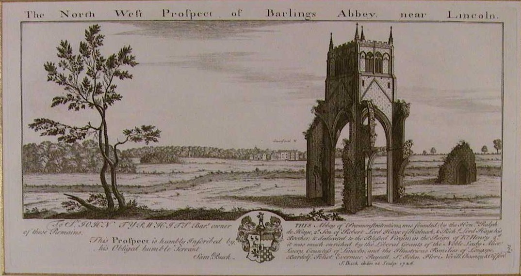
Barlings Abbey
Barlings Abbey was a one of nine Premonstratensian monasteries in the county of Lincolnshire, England. It was founded in 1154, as a daughter house of...

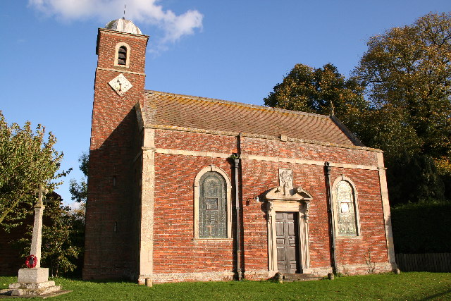
Barlings
Barlings and Low Barlings are two small hamlets lying south off the A158 road at Langworth, about 7 miles (11 km) east of Lincoln in the West Lindsey district...
Stainfield
Stainfield is a village and civil parish about 10 miles (16 km) east of the city of Lincoln, in the West Lindsey district of Lincolnshire, England. The...

Stainfield Priory
Stainfield Priory was a Benedictine nunnery at Stainfield in the North of Lincolnshire, England, between Wragby and Fiskerton. The priory of St Mary at...

Newball
Newball is a settlement and civil parish about 7 miles from Lincoln, in the West Lindsey district, in the county of Lincolnshire, England. In 2001 the...

Apley
Apley is a hamlet and civil parish in the West Lindsey district of Lincolnshire, England. It is situated 1 mile (1.6 km) west from the hamlet of Kingthorpe...
Bullington Priory
Bullington Priory was a priory in Bullington, Lincolnshire, England. The priory was a house of the Gilbertine Order and dedicated to Saint Mary. It was...

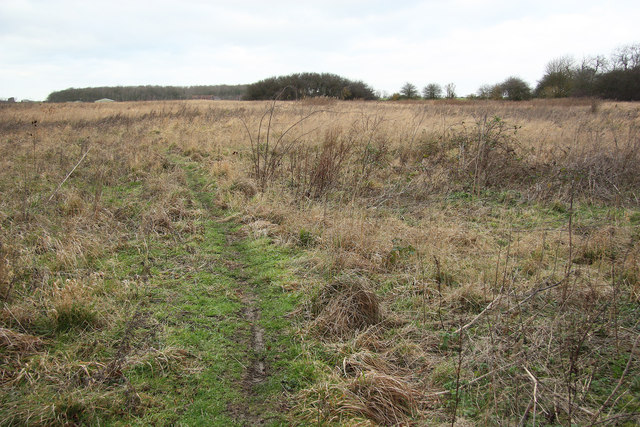
Snakeholme Pit
Snakeholme Pit is a nature reserve near Langworth in the county of Lincolnshire, England, managed and owned by Butterfly Conservation. It is 2 acres.Animals...
Related Videos

Viking Way walk / hike on New Year’s Eve
Ending 2020, the same way I'll start 2021....fit and healthy, now I've reached 50 years young.

Barlings Abbey - A Short Video of the Premonstratensian Monastery
Barlings Abbey, Lincolnshire, was a Premonstratensian monastery in England, founded in 1154, as a daughter house of the ...

Taking the Granddaughter to Woodside Wildlife Park
We spend some time at Woodside Wildlife Park with our Granddaughter. Woodside Wildlife Park in Lincolnshire is one of the UK's ...

Penguin feeding time Woodside Wildlife Park Lincoln
Penguin feeding time at the Woodside Wildlife Park, near Lincoln England UK.
Nearby Amenities
Located within 500m of 53.2471,-0.371633Have you been to Barlings, Low?
Leave your review of Barlings, Low below (or comments, questions and feedback).