Granton Point
Coastal Feature, Headland, Point in Midlothian
Scotland
Granton Point
Granton Point is a prominent headland located in the coastal town of Granton, Midlothian, in Scotland. Situated on the southern shores of the Firth of Forth, it serves as a distinctive feature along the coastline.
With its picturesque views and rugged cliffs, Granton Point offers a stunning vantage point for visitors and locals alike. The headland extends out into the Firth of Forth, providing panoramic views of the surrounding area, including the Edinburgh skyline and the iconic Forth Bridges. On clear days, it is possible to see as far as the Fife coast and the North Sea.
The headland itself is predominantly made up of sandstone cliffs, which have been shaped by the erosive forces of the sea over time. These cliffs provide nesting sites for various seabirds, including gulls and cormorants. The rocky shoreline is also home to a diverse range of marine life, making it a popular spot for birdwatching and wildlife enthusiasts.
Granton Point has a rich history that dates back centuries. It was once a thriving fishing village, with its sheltered harbor serving as a hub for fishing boats and trading vessels. Today, remnants of its maritime past can still be seen, including the old pier and slipway.
The headland is easily accessible by foot, with a network of coastal paths that wind their way around Granton Point. These paths offer a leisurely stroll along the coastline, allowing visitors to fully appreciate the natural beauty of the area. Whether you are seeking a peaceful retreat or a scenic spot to soak up the views, Granton Point is a must-visit destination for nature lovers and history enthusiasts alike.
If you have any feedback on the listing, please let us know in the comments section below.
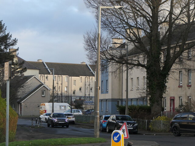
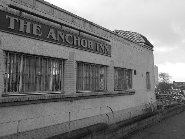
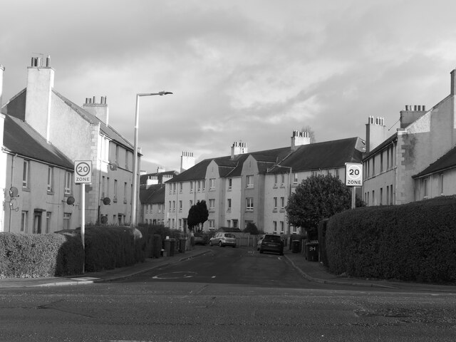
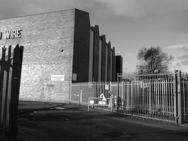
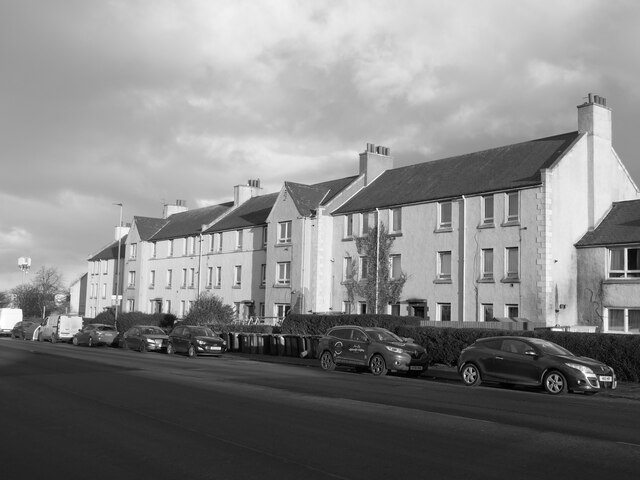
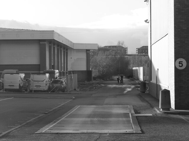
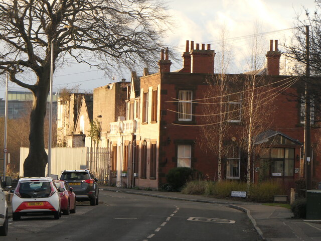
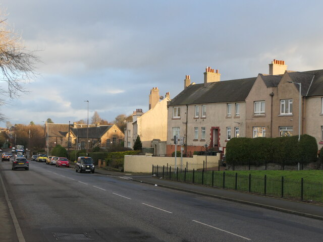
Granton Point Images
Images are sourced within 2km of 55.98368/-3.2516805 or Grid Reference NT2277. Thanks to Geograph Open Source API. All images are credited.


Granton Point is located at Grid Ref: NT2277 (Lat: 55.98368, Lng: -3.2516805)
Unitary Authority: City of Edinburgh
Police Authority: Edinburgh
What 3 Words
///putty.atomic.chained. Near Edinburgh
Nearby Locations
Related Wikis

Murder of Sheila Anderson
The murder of Sheila Anderson (1955/1956 – 7 February 1983) was the 1983 murder of a sex worker in Edinburgh which has been described as "one of Scotland...

Granton Shrimp Bed
The Granton Shrimp Bed is a fossil-bearing deposit exposed on the southern shore of the Firth of Forth near Edinburgh, in Scotland. It is classified as...

Caroline Park
Caroline Park is a 17th-century mansion in the Granton area of Edinburgh. It was constructed between 1683 and 1696 for Sir George Mackenzie, 1st Viscount...

Edinburgh College
Edinburgh College (Scottish Gaelic: Colaiste Dhùn Èideann) is a further and higher education institution with campuses in Edinburgh and Midlothian, Scotland...
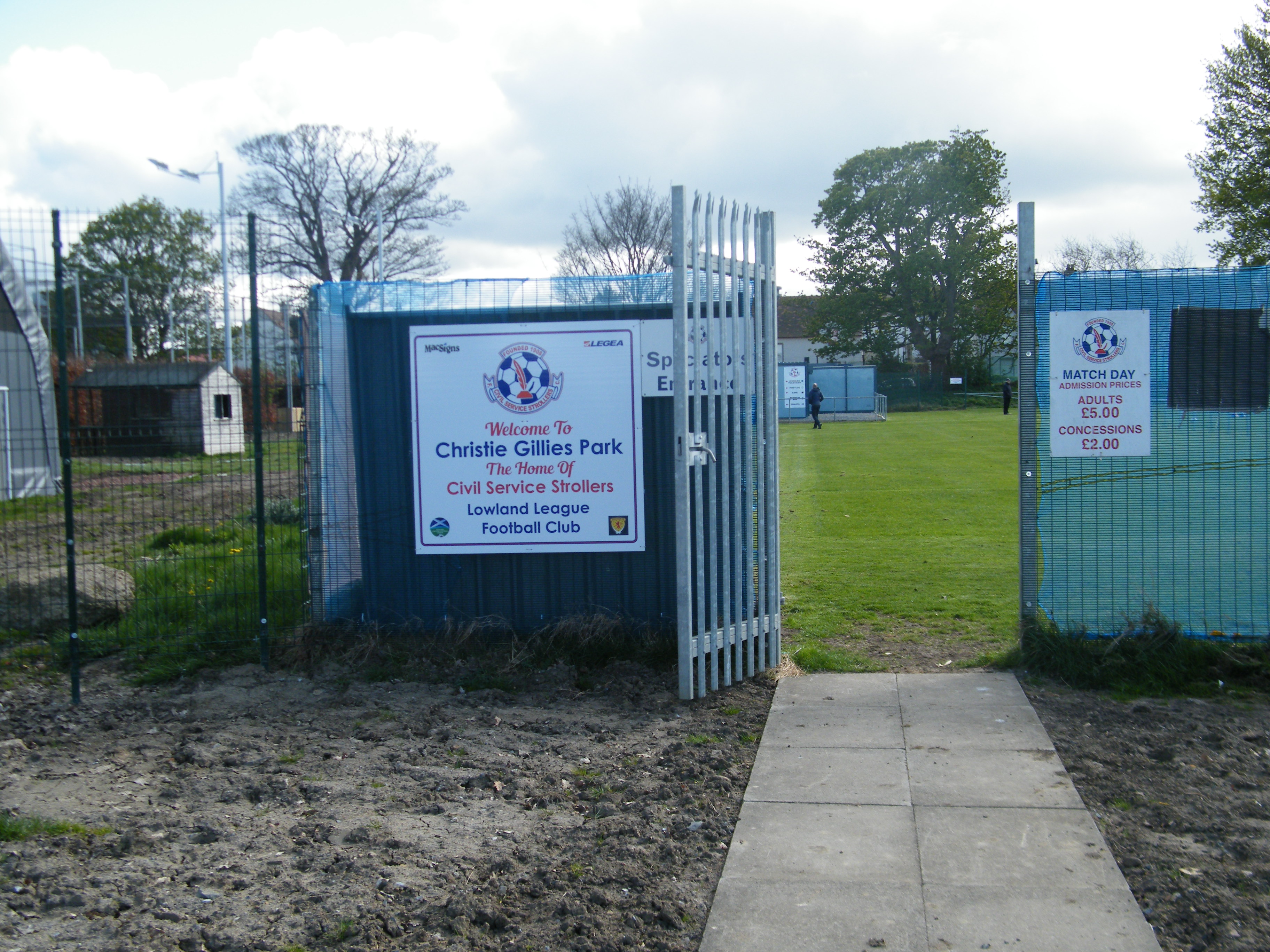
Civil Service Strollers F.C.
Civil Service Strollers Football Club are a senior non-league football team from Edinburgh, Scotland currently playing in the Lowland League. The Strollers...
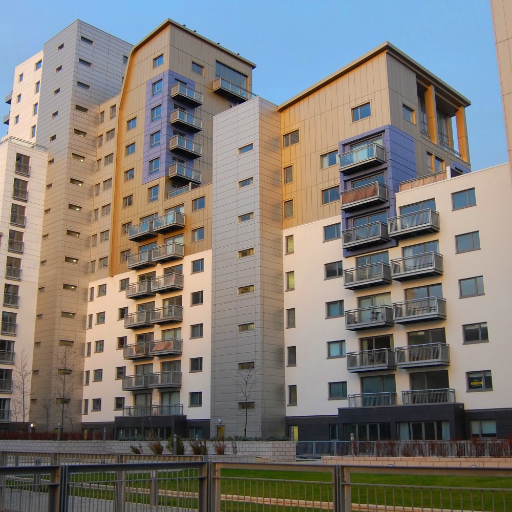
Granton Waterfront regeneration
The Granton Waterfront regeneration is a redevelopment of parts of Edinburgh along the shores of the Firth of Forth in Granton. There are three main landowners...

Granton Gasworks railway station
Granton Gasworks railway station was a private railway station built to serve the Granton Gasworks in Granton, Edinburgh, Scotland that operated from 1902...
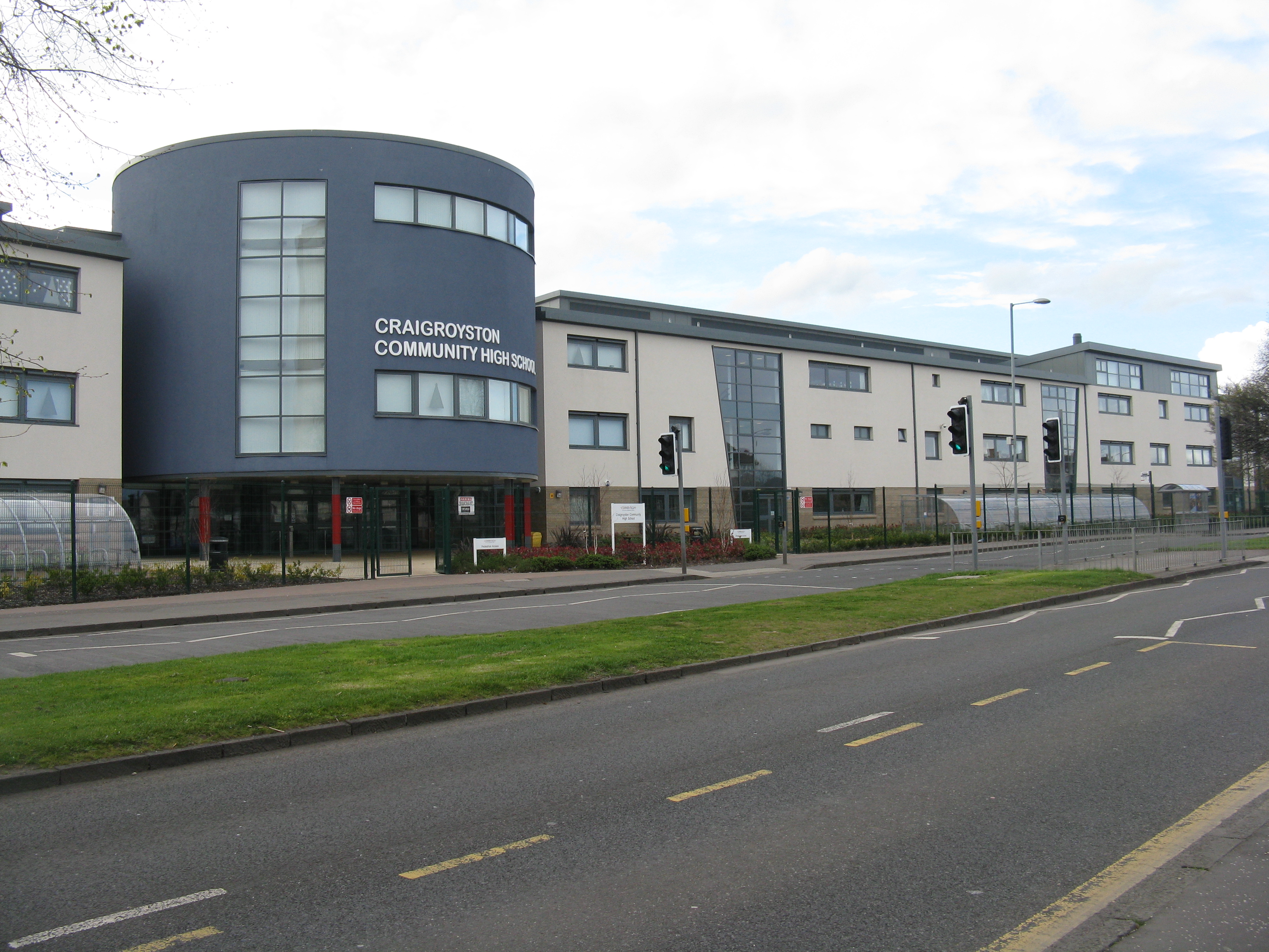
Craigroyston Community High School
Craigroyston Community High School is a non-denominational community secondary school in Muirhouse, Edinburgh. The current headteacher is Shelley McLaren...
Related Videos

Walking to Cramond Island
In this video, I walk to Cramond Island over the causeway looking at Wildlife, Nature and Scottish Scenery. I also venture into the ...

Cramond Island Day trip, Edinburgh, Scotland. U.K.
Cramond Island day trip. Edinburgh, Scotland. U.K. Having a walk around low tide crossing over on foot.

CAUSEWAY, CRAMOND ISLAND & WWII GUN BATTERY - ONLINE WALKING TOURS
In this episode of Silent Walks, Cian, Dude (the dog) and myself will explore Cramond Village. Guide you through a WWI ...
Nearby Amenities
Located within 500m of 55.98368,-3.2516805Have you been to Granton Point?
Leave your review of Granton Point below (or comments, questions and feedback).