North West Point
Coastal Feature, Headland, Point in Glamorgan
Wales
North West Point
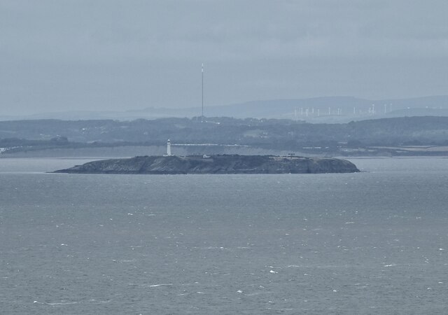
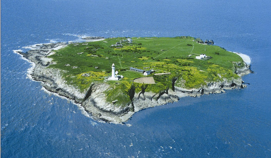
North West Point is a prominent coastal feature located in Glamorgan, a picturesque region in Wales, United Kingdom. This headland, also known as a point, stands proudly on the western edge of the Glamorgan Heritage Coast, offering breathtaking views of the Celtic Sea.
Rising majestically from the rocky shoreline, North West Point forms a natural barrier between the land and the vast expanse of the sea. The headland is characterized by its steep cliffs, which provide a dramatic backdrop against the crashing waves below. These cliffs are composed of sedimentary rocks, displaying layers of various colors, adding to the area's geological intrigue.
The point is a haven for nature enthusiasts and birdwatchers alike, as it serves as a nesting ground for numerous seabirds. Visitors can often spot colonies of gulls, cormorants, and puffins, among others, perched on the cliff edges or soaring gracefully above the water.
The rugged beauty of North West Point is further enhanced by the presence of unique flora and fauna. Hardy plants such as sea thrift and sea campion cling to the cliff faces, adding vibrant splashes of color to the otherwise stark surroundings. In the surrounding waters, seals and dolphins can occasionally be seen swimming and playing, captivating those lucky enough to witness their graceful movements.
Whether it's a leisurely stroll along the coastal path or an adventurous hike to the summit, North West Point offers visitors an opportunity to immerse themselves in the raw beauty of nature. With its stunning views, diverse wildlife, and rich geological history, this headland truly exemplifies the splendor of the Glamorgan coast.
If you have any feedback on the listing, please let us know in the comments section below.
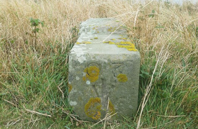
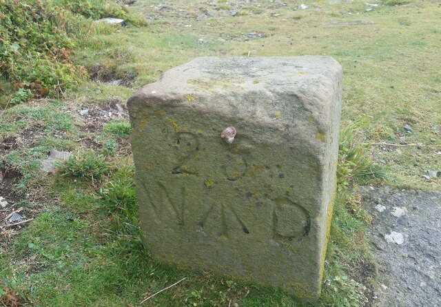
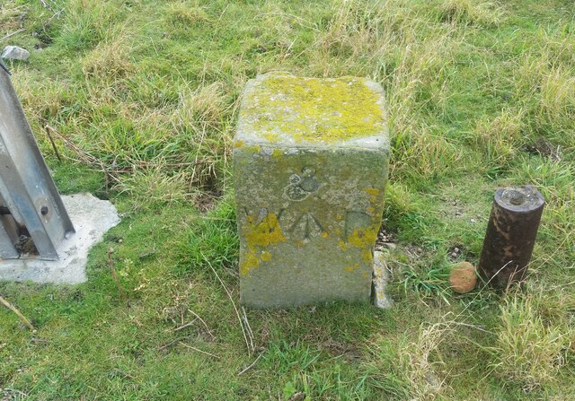
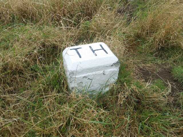
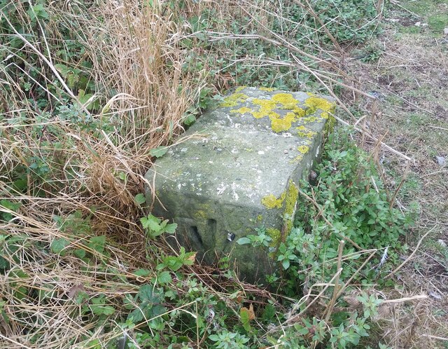
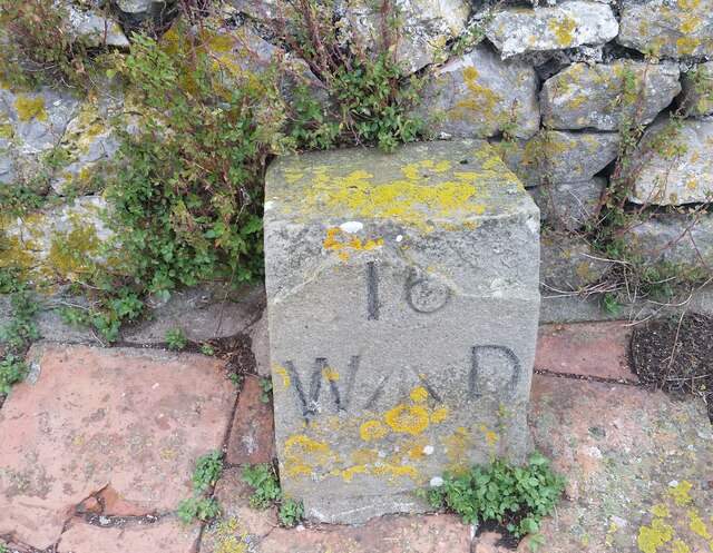
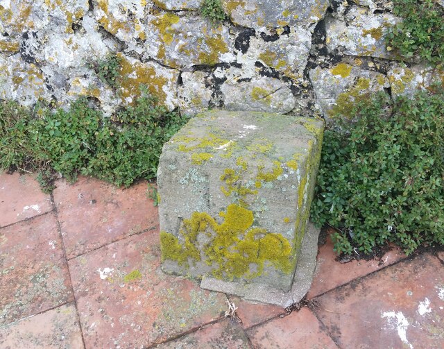
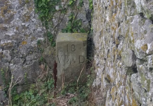
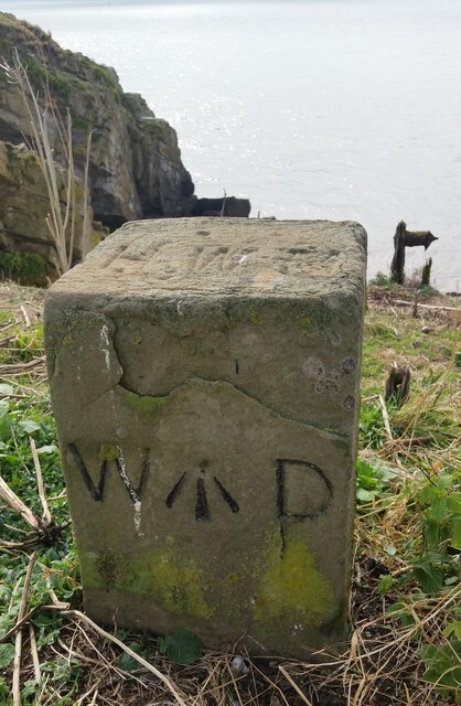
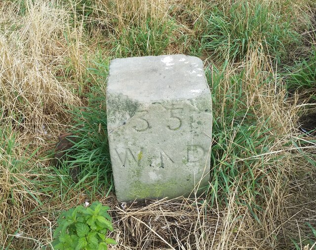
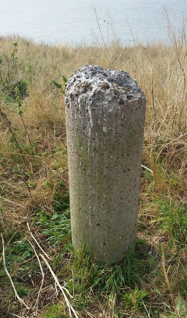
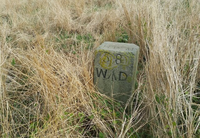
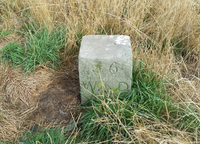
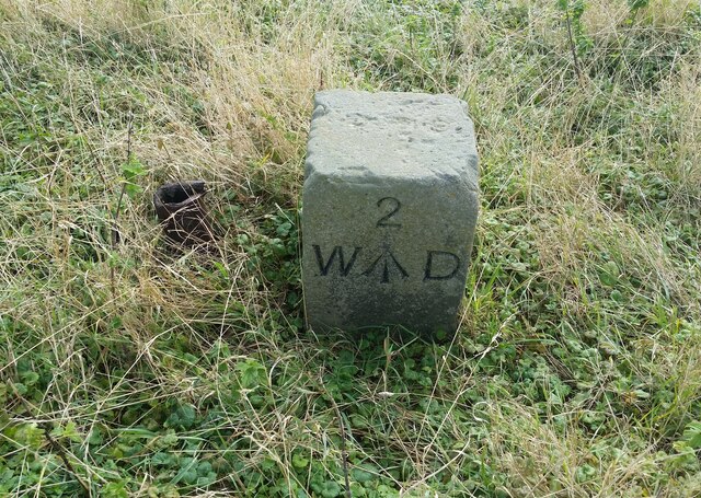
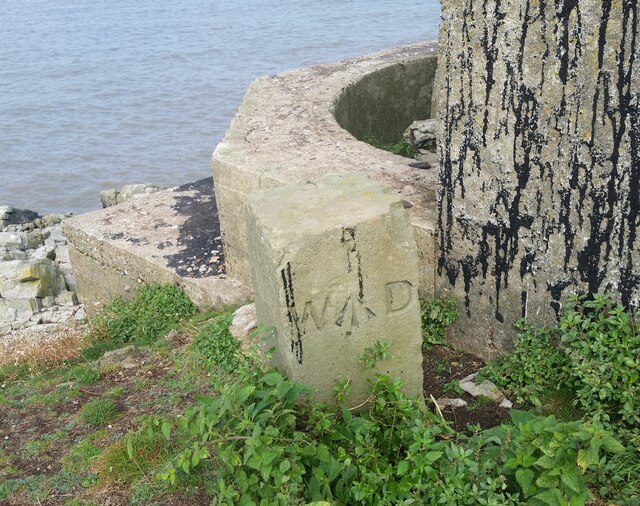
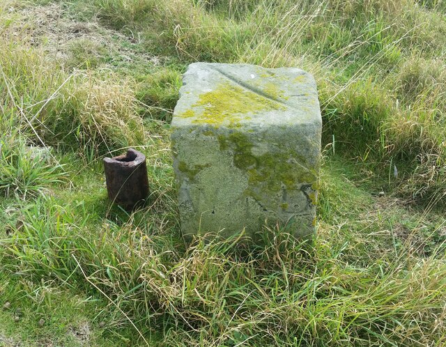
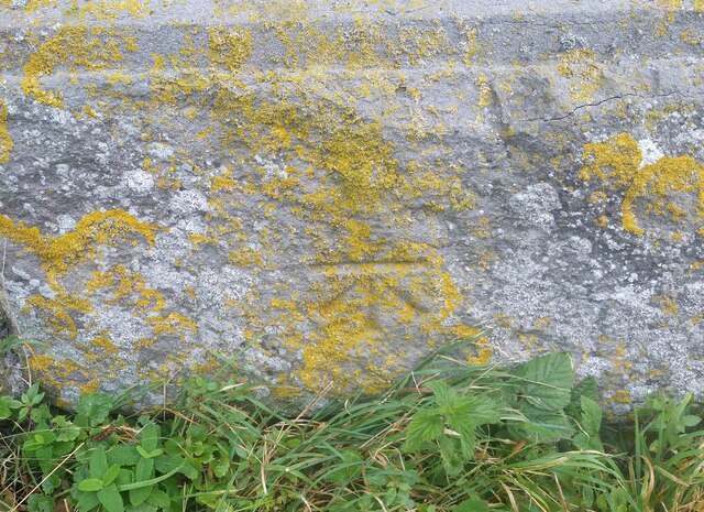
North West Point Images
Images are sourced within 2km of 51.378107/-3.1256312 or Grid Reference ST2164. Thanks to Geograph Open Source API. All images are credited.
North West Point is located at Grid Ref: ST2164 (Lat: 51.378107, Lng: -3.1256312)
Unitary Authority: Cardiff
Police Authority: South Wales
What 3 Words
///animals.nibbles.corrosive. Near Penarth, Vale of Glamorgan
Nearby Locations
Related Wikis
Flat Holm
Flat Holm (Welsh: Ynys Echni) is a Welsh island lying in the Bristol Channel approximately 6 km (4 mi) from Lavernock Point in the Vale of Glamorgan. It...

The Wolves (Bristol Channel)
The Wolves are three rocks just over a mile northwest of the island of Flat Holm in the Bristol Channel. They measure approximately 25 metres by 20 metres...
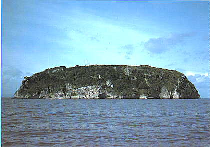
Steep Holm
Steep Holm (Welsh: Ynys Rhonech, Old English: Ronech and later Steopanreolice) is an English island lying in the Bristol Channel. The island covers 48...

Lavernock Battery
Lavernock Battery was built at Lavernock Point, Wales on the recommendations of the 1860 Royal Commission during the late 1860s to protect the ports of...
Nearby Amenities
Located within 500m of 51.378107,-3.1256312Have you been to North West Point?
Leave your review of North West Point below (or comments, questions and feedback).