Ashy Geo

Coastal Feature, Headland, Point in Caithness

Scotland

Ashy Geo

Many Lochs A view of the middle of the three lochs.
Many Lochs Credit: David Bremner

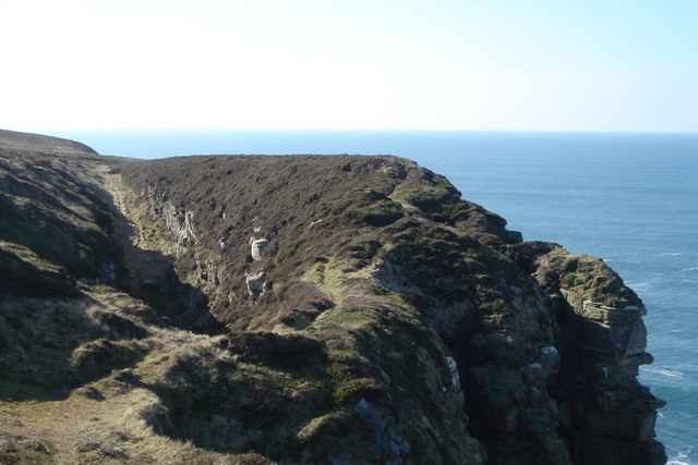
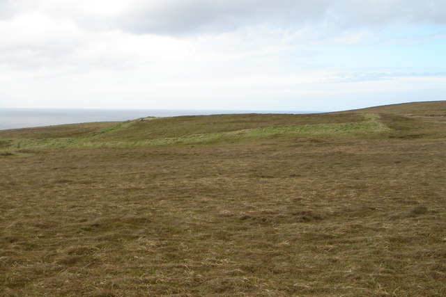
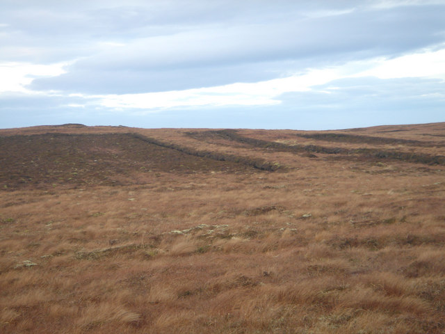
Ashy Geo is a prominent coastal feature located in Caithness, a county in the northeastern part of Scotland. It is classified as a headland, also known as a point, and is characterized by its distinctive ashy appearance, which gives it its name. The headland is situated along the rugged and picturesque Caithness coastline, offering breathtaking views of the North Sea.

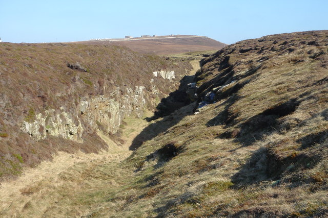
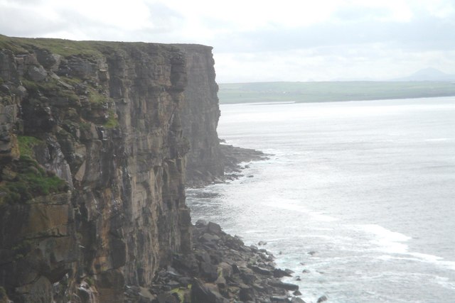
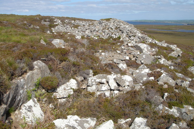
Ashy Geo is formed by the erosion of the underlying rock layers, resulting in a steep and dramatic cliff face that plunges into the sea below. The cliff is composed mainly of sedimentary rocks, such as sandstone and shale, which contribute to the unique ashy coloration of the headland. The layers of rock are clearly visible in the exposed sections of the cliff, providing evidence of the geological processes that have shaped the area over millions of years.

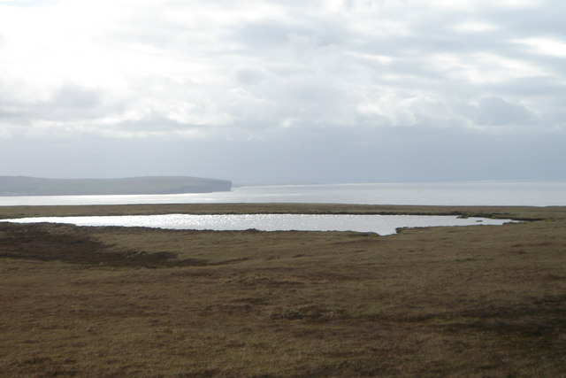
The headland is a popular destination for hikers, nature enthusiasts, and photographers, who are drawn to its rugged beauty and stunning vistas. The surrounding coastline is rich in wildlife, with seabirds such as puffins and razorbills nesting in the cliffs, and seals often seen basking on nearby rocks. The area also boasts a diverse range of plant species, including wildflowers and grasses that thrive in the coastal environment.

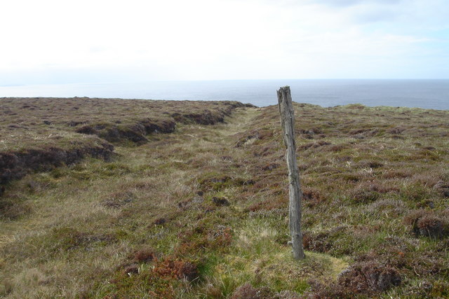
Access to Ashy Geo is relatively straightforward, with a footpath leading from a nearby car park to the headland. However, visitors are advised to take caution when exploring the cliff edges, as they can be unstable and potentially dangerous. Nonetheless, Ashy Geo offers an unforgettable experience for those seeking to immerse themselves in the natural beauty of Caithness's rugged coastline.

If you have any feedback on the listing, please let us know in the comments section below.

Ashy Geo Images

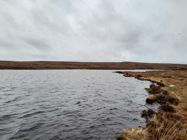
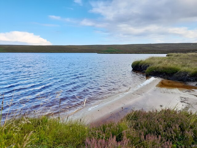
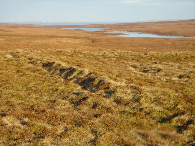
Images are sourced within 2km of 58.650477/-3.409186 or Grid Reference ND1874. Thanks to Geograph Open Source API. All images are credited.

Many Lochs A view of the middle of the three lochs.
Many Lochs
A view of the middle of the three lochs.
Many Lochs The western most loch has a small sandy beach.
Many Lochs
The western most loch has a small sandy beach.
Enclosure near Ashy Geo A rectangular enclosure surrounded by the remains of a turf dyke.
Enclosure near Ashy Geo
A rectangular enclosure surrounded by the remains of a turf dyke.
The Long Byre, Dunnet Head The Long Byre is a dry ravine, probably created by fracture of the underlying bedrock. It lies on the Dunnet Head Common Grazing and is so named because it was used by the crofters as a natural cattle pen. Seen here from the East.
The Long Byre, Dunnet Head
The Long Byre is a dry ravine, probably created by fracture of the underlying bedrock. It lies on the Dunnet Head Common Grazing and is so named because it was used by the crofters as a natural cattle pen. Seen here from the East.
The Long Byre, Dunnet Head The Long Byre, a naturally-formed cattle pen, seen from the South West.
The Long Byre, Dunnet Head
The Long Byre, a naturally-formed cattle pen, seen from the South West.
Dunnet Head cliffs Looking towards Ashy Geo from near Briga Head
Dunnet Head cliffs
Looking towards Ashy Geo from near Briga Head
Boundary Ditch This ditch marks the boundary between the Dunnet Common Grazing and the Dunnet Head Common Grazing.
Boundary Ditch
This ditch marks the boundary between the Dunnet Common Grazing and the Dunnet Head Common Grazing.
Ashy Geo A broad gully on the west side of Dunnet Head. Ashy Geo is one of a few points where the cliffs can be safely descended.
Ashy Geo
A broad gully on the west side of Dunnet Head. Ashy Geo is one of a few points where the cliffs can be safely descended.
Donald Gear's Geo A narrow geo on the west side of Dunnet Head
Donald Gear's Geo
A narrow geo on the west side of Dunnet Head
The Black Loch A dubh loch on Dunnet Head.The headland in the background is Holborn Head.
The Black Loch
A dubh loch on Dunnet Head.The headland in the background is Holborn Head.
Enclosure near Red Geo A rectangular enclosure. A grassy mound at one corner might indicate the site of a building.
Enclosure near Red Geo
A rectangular enclosure. A grassy mound at one corner might indicate the site of a building.
Chapel, Dunnet Head Remains of an early Christian building, supposed to be a sanctuary or place of penance dedicated to St Donatus.
Chapel, Dunnet Head
Remains of an early Christian building, supposed to be a sanctuary or place of penance dedicated to St Donatus.
Summit of Dunnet Hill Highest point of a range of small hills known as the Cools.
Summit of Dunnet Hill
Highest point of a range of small hills known as the Cools.
Quarry, Burifa Hill A disused quarry on Dunnet Head
Quarry, Burifa Hill
A disused quarry on Dunnet Head
The Many Lochs The westernmost of the three Many Lochs
The Many Lochs
The westernmost of the three Many Lochs
Aspens Aspen refugia at the Many Lochs, Dunnet Head. A fragment of native woodland among the  bracken.
Aspens
Aspen refugia at the Many Lochs, Dunnet Head. A fragment of native woodland among the bracken.
Dunnet Head cliffs The Old Red Sandstone cliffs of Dunnet Head, North of Briga Head. The island of Hoy can be seen on the horizon.
Dunnet Head cliffs
The Old Red Sandstone cliffs of Dunnet Head, North of Briga Head. The island of Hoy can be seen on the horizon.
Peat banks on Dunnet Head Old peat banks, now out of use. Peat is still cut elsewhere on Dunnet Head, although the practice has declined.
Peat banks on Dunnet Head
Old peat banks, now out of use. Peat is still cut elsewhere on Dunnet Head, although the practice has declined.
Show me another place!

Ashy Geo is located at Grid Ref: ND1874 (Lat: 58.650477, Lng: -3.409186)

Unitary Authority: Highland

Police Authority: Highlands and Islands

What 3 Words

///saucepan.bookings.messing. Near Thurso, Highland

Related Wikis

Dunnet Head Lighthouse

Dunnet Head Lighthouse is an active 19th century lighthouse that stands on the 300-foot (91 m) cliff top of Easter Head on Dunnet Head. The lighthouse...

Dunnet Head

Dunnet Head (Scottish Gaelic: Ceann Dùnaid) is a peninsula in Caithness, on the north coast of Scotland. Dunnet Head includes the most northerly point...

Brough, Caithness

Brough is a small village (population 66) in Caithness in the North of Scotland. It is located on the B855 single-track road, the most northerly numbered...

Brough Castle (Caithness)

Brough Castle is a ruined castle near Brough, Caithness. It is believed to date from the 12th to 14th centuries. == Description == The foundations of...

Dunnet Church

Dunnet Parish Church is a Church of Scotland church in Dunnet, Caithness, northern Scotland. References to St Mary's Parish Church are known from as far...

Dunnet

Dunnet is a village in Caithness, in the Highland area of Scotland. It is within the Parish of Dunnet. == Village == The village centres on the A836–B855...

Ham, Caithness

Ham is a village in the Caithness region in the Scottish council area of Highland. It has a very short river running from a mill pond to the sea - a total...

Dunnet Forest

Dunnet Forest in Dunnet, Caithness, Scotland, is the most northerly community woodland on the UK mainland, and has been managed since 2003 by Dunnet Forestry...

Nearby Amenities

Located within 500m of 58.650477,-3.409186
Source: PGS
Lat/Long: 58.6549188/-3.4087665
Source: PGS
Lat/Long: 58.6533203/-3.4093061
Source: PGS
Lat/Long: 58.651997/-3.4091559
Source: PGS
Lat/Long: 58.6513942/-3.4091506
Source: PGS
Lat/Long: 58.6508405/-3.4093909
Source: PGS
Lat/Long: 58.6506557/-3.4094628
Source: PGS
Lat/Long: 58.6504905/-3.4093533
Source: PGS
Lat/Long: 58.650169/-3.4098136
Source: PGS
Lat/Long: 58.6500501/-3.4103361
Source: PGS
Lat/Long: 58.6492379/-3.4111408
Source: PGS
Lat/Long: 58.6486836/-3.41107
Source: PGS
Lat/Long: 58.6483777/-3.4111215
Source: PGS
Lat/Long: 58.6467539/-3.4120366
The data included in this document is from www.openstreetmap.org. The data is made available under ODbL.

Have you been to Ashy Geo?

Leave your review of Ashy Geo below (or comments, questions and feedback).