Sandy Geo
Coastal Feature, Headland, Point in Orkney
Scotland
Sandy Geo
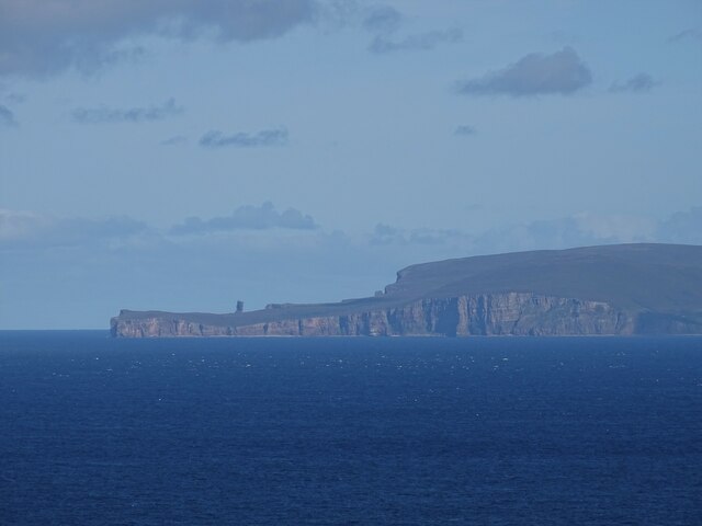
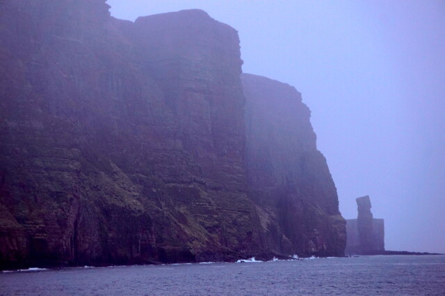
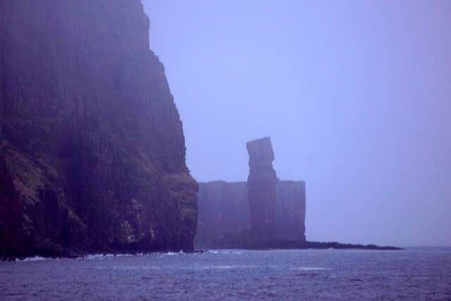
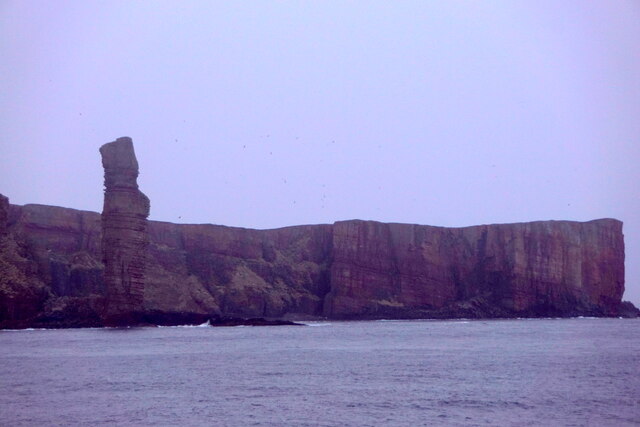
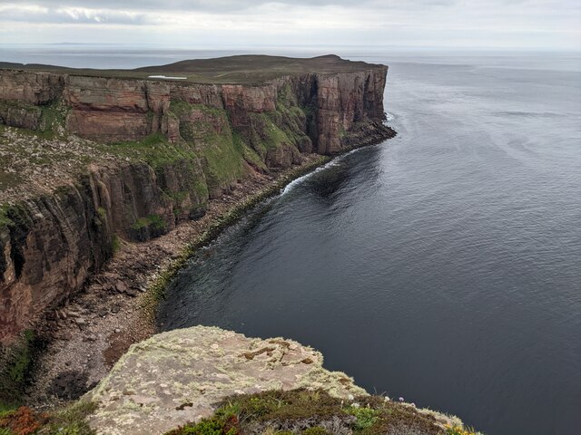
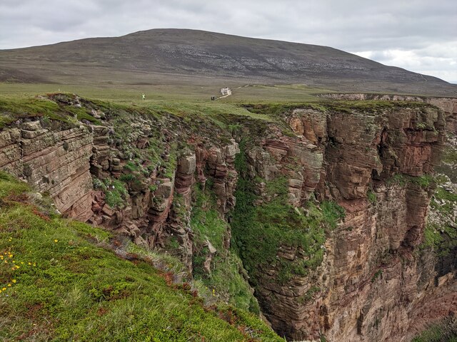
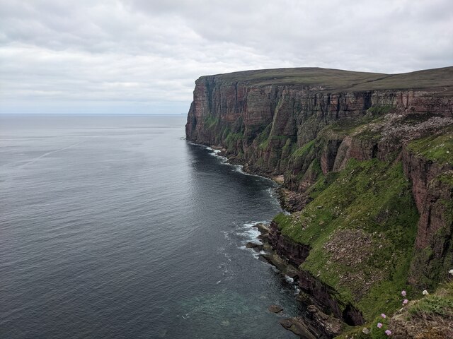
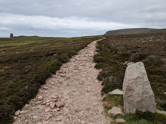
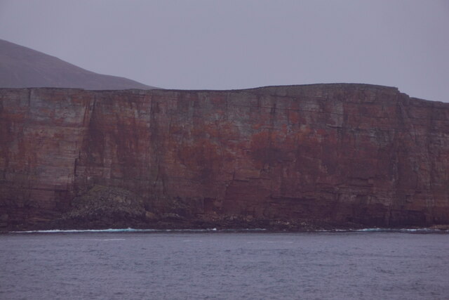
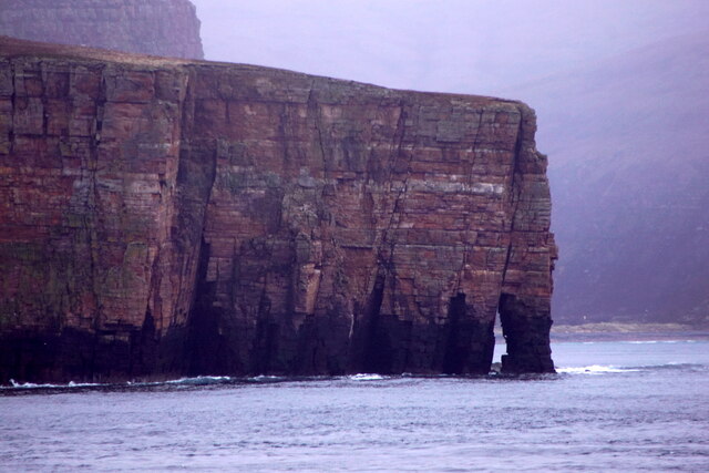
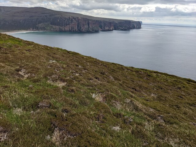
Sandy Geo is a picturesque coastal feature located on the island of Orkney in Scotland. It is characterized by its sandy beach, rugged cliffs, and stunning views of the North Sea. The geo, or inlet, is surrounded by grassy cliffs and rock formations, creating a dramatic and scenic landscape.
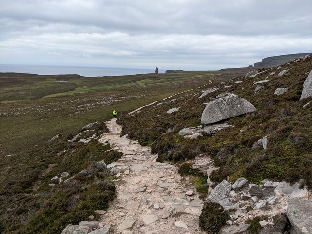
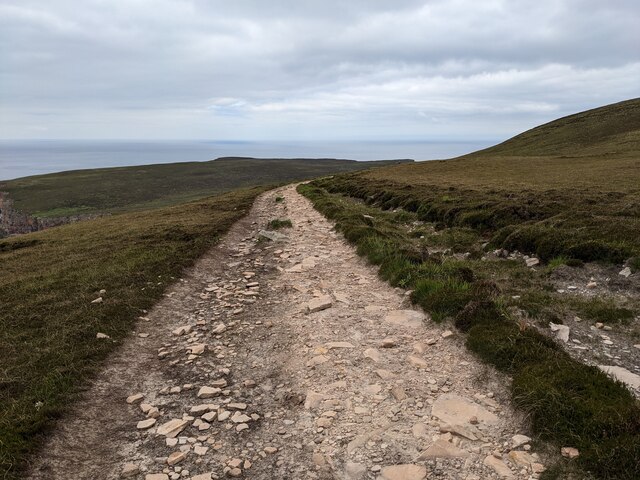
Sandy Geo is a popular spot for visitors to enjoy the beauty of Orkney's coastline and observe the diverse marine life that inhabits the area. The sandy beach is perfect for sunbathing, picnicking, and exploring, while the cliffs offer opportunities for hiking and birdwatching.
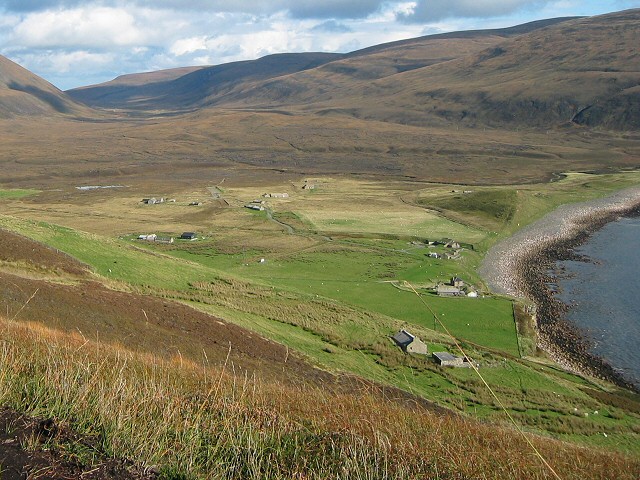
The geo is also a significant archaeological site, with evidence of ancient settlements and burial mounds nearby. This adds to the historical and cultural significance of Sandy Geo, making it a must-visit destination for those interested in Orkney's rich history.
Overall, Sandy Geo is a stunning coastal feature that showcases the natural beauty and cultural heritage of Orkney. Visitors can enjoy a relaxing day at the beach, explore the rugged cliffs, and immerse themselves in the history of this unique location.
If you have any feedback on the listing, please let us know in the comments section below.
Sandy Geo Images
Images are sourced within 2km of 58.874768/-3.4350875 or Grid Reference ND1799. Thanks to Geograph Open Source API. All images are credited.

Sandy Geo is located at Grid Ref: ND1799 (Lat: 58.874768, Lng: -3.4350875)
Unitary Authority: Orkney Islands
Police Authority: Highlands and Islands
What 3 Words
///froth.hedge.masks. Near Stromness, Orkney Islands
Nearby Locations
Related Wikis

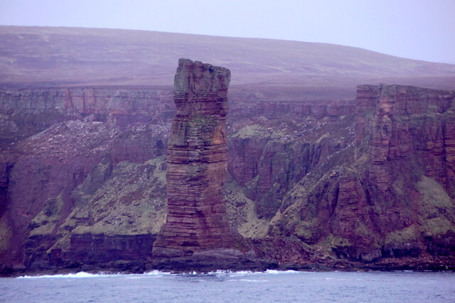
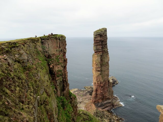
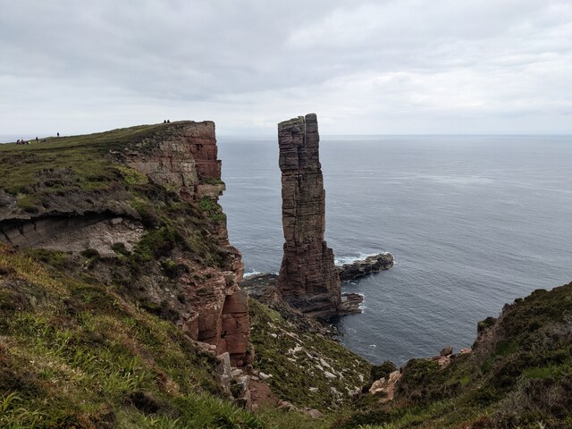
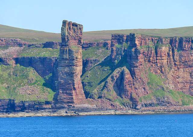
Old Man of Hoy
The Old Man of Hoy is a 449-foot (137-metre) sea stack on Hoy, part of the Orkney archipelago off the north coast of Scotland. Formed from Old Red Sandstone...

HMS Pheasant (1916)
HMS Pheasant was one of 85 Admiralty M-class destroyers built during the First World War for the Royal Navy. She hit and was sunk by a mine in 1917....
Rackwick
Rackwick is a small coastal crofting township in the north west of the island of Hoy in Orkney, Scotland. As well as a handful of tourist amenities the...

Ward Hill, Hoy
Ward Hill is a hill on the island of Hoy in Orkney, Scotland. It lies at the north of the island between Moaness and Rackwick, and is the highest point...
Nearby Amenities
Located within 500m of 58.874768,-3.4350875Have you been to Sandy Geo?
Leave your review of Sandy Geo below (or comments, questions and feedback).