Beamer
Coastal Feature, Headland, Point in Fife
Scotland
Beamer
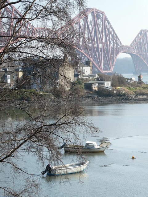
Beamer, Fife is a prominent coastal feature located in the Kingdom of Fife, Scotland. It is a headland that juts out into the North Sea, forming a point where the land meets the water. The name "Beamer" is derived from the Scottish Gaelic word "biomar," meaning "place of loud noise," which aptly describes the crashing waves that constantly pound against the rocky cliffs.
The headland offers breathtaking panoramic views of the surrounding coastline, with its rugged cliffs and pristine blue waters stretching as far as the eye can see. It is a popular destination for hikers and nature enthusiasts, who can explore the coastal trails and experience the stunning beauty of the area. The cliffs of Beamer are home to a diverse range of seabirds, including puffins, guillemots, and kittiwakes, making it a haven for birdwatchers.
At low tide, a small sandy beach is revealed at the base of the cliffs, providing a tranquil spot for visitors to relax and enjoy the peaceful surroundings. However, caution must be exercised when venturing close to the edge of the cliffs, as they can be steep and unstable in certain areas.
The surrounding area of Beamer, Fife is rich in history, with several ancient ruins and archaeological sites nearby. The headland itself is believed to have been inhabited by early settlers, and evidence of their presence can be seen in the form of ancient stone circles and burial mounds.
Overall, Beamer, Fife is a captivating coastal feature that offers a unique blend of natural beauty, wildlife, and historical significance. It is a must-visit destination for anyone seeking a truly immersive experience in the stunning Scottish coastline.
If you have any feedback on the listing, please let us know in the comments section below.
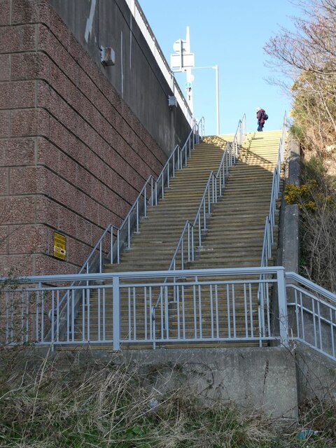
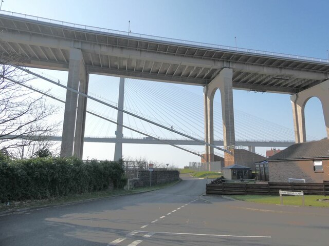
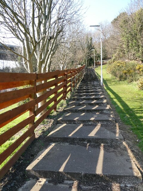
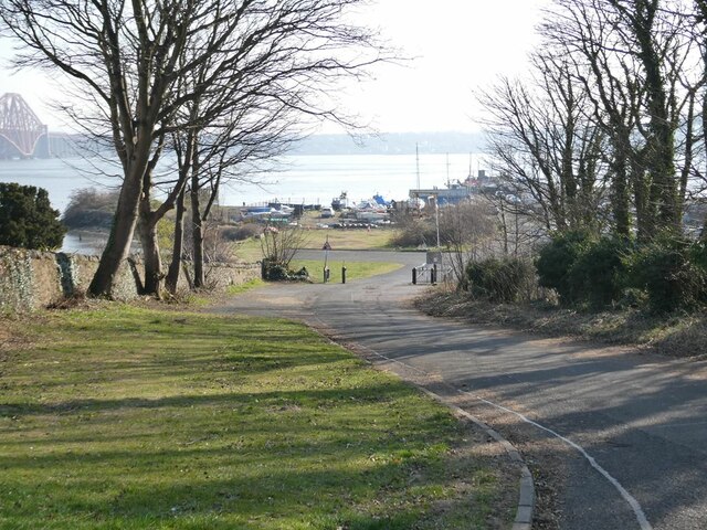
Beamer Images
Images are sourced within 2km of 56.004847/-3.412463 or Grid Reference NT1280. Thanks to Geograph Open Source API. All images are credited.


Beamer is located at Grid Ref: NT1280 (Lat: 56.004847, Lng: -3.412463)
Unitary Authority: Fife
Police Authority: Fife
What 3 Words
///funds.generally.eager. Near North Queensferry, Fife
Nearby Locations
Related Wikis
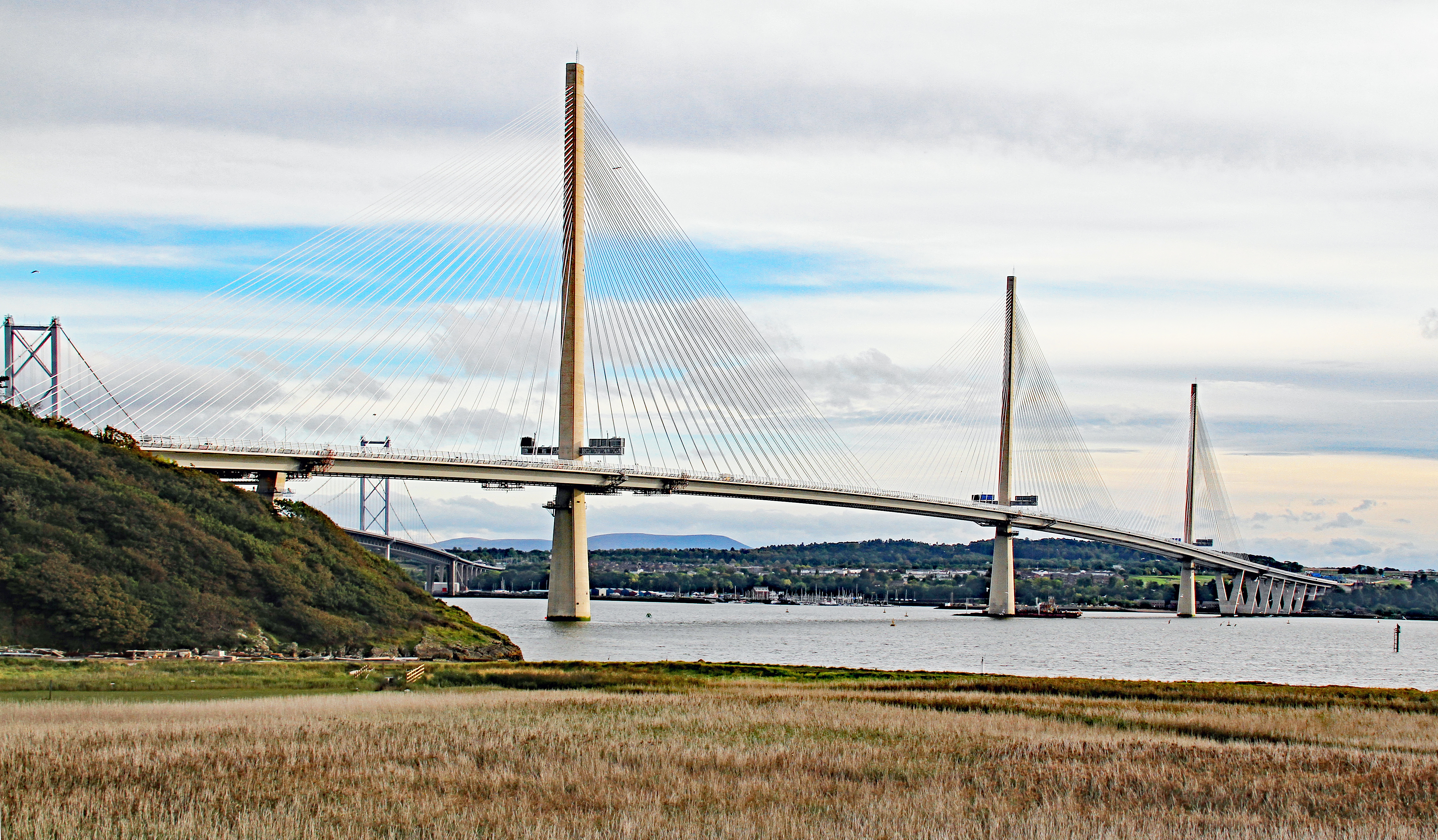
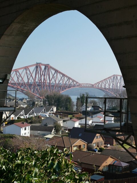
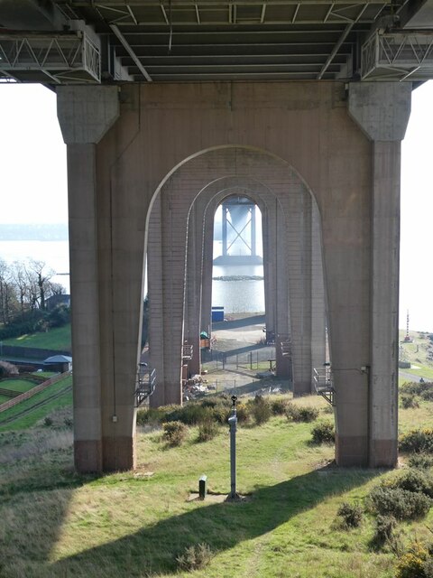
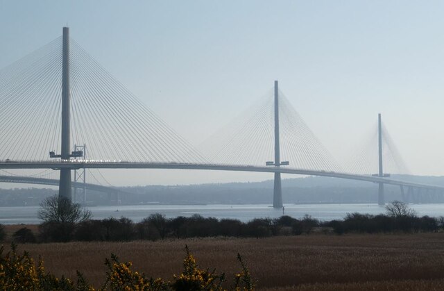
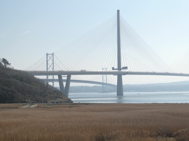
Queensferry Crossing
The Queensferry Crossing (formerly the Forth Replacement Crossing) is a road bridge in Scotland. It was built alongside the existing Forth Road Bridge...
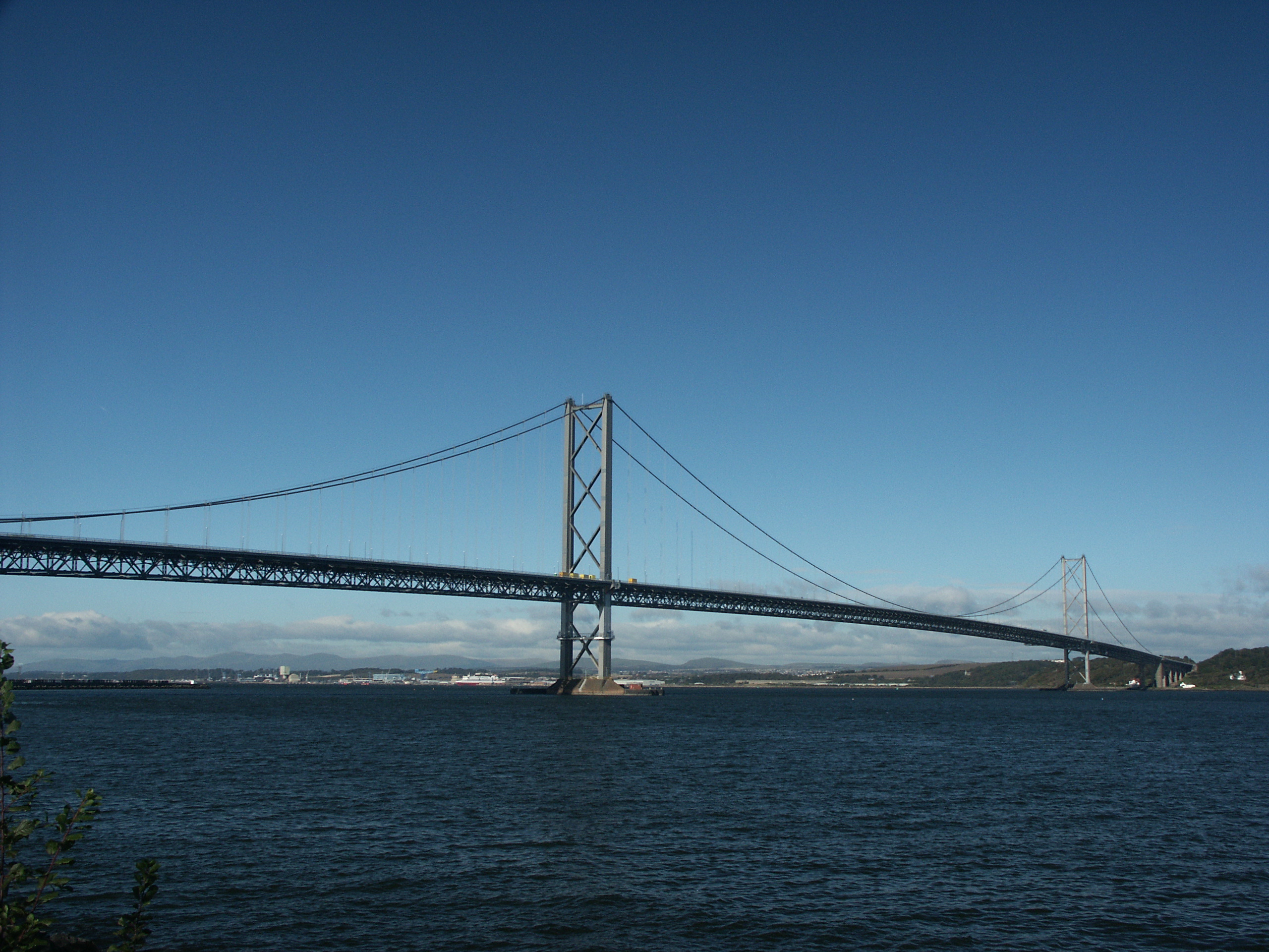
Forth Road Bridge
The Forth Road Bridge is a suspension bridge in east central Scotland. The bridge opened in 1964 and at the time was the longest suspension bridge in the...

Port Edgar railway station
Port Edgar railway station served the town of South Queensferry, Scotland, from 1878 to 1890 on the Port Edgar Extension line. == History == The station...

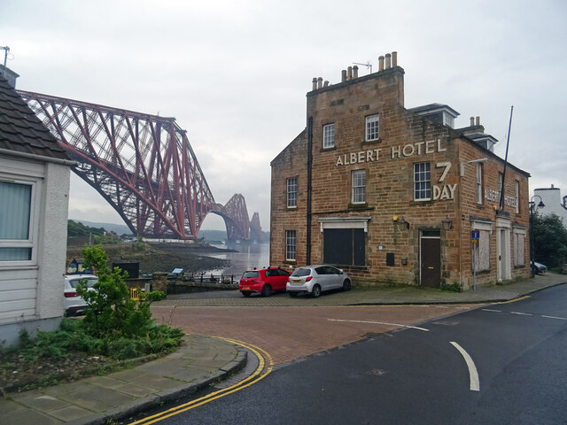
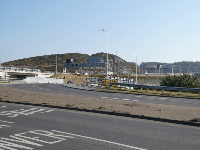
North Queensferry
North Queensferry is a village in Fife, Scotland, situated on the Firth of Forth where the Forth Bridge, the Forth Road Bridge, and the Queensferry Crossing...
Nearby Amenities
Located within 500m of 56.004847,-3.412463Have you been to Beamer?
Leave your review of Beamer below (or comments, questions and feedback).