Borron Point
Coastal Feature, Headland, Point in Kirkcudbrightshire
Scotland
Borron Point

Borron Point is a prominent coastal feature located in Kirkcudbrightshire, a historic county in southwest Scotland. Situated on the Solway Firth, this headland juts out into the Irish Sea, offering breathtaking views and a rich natural environment.
The rugged cliffs of Borron Point provide a dramatic backdrop to the surrounding landscape. Towering above the water, they are composed of sandstone and limestone, showcasing the geological diversity of the area. The varying rock formations, including caves and crevices, are home to a diverse range of marine life, making it a popular spot for divers and nature enthusiasts.
The headland is also known for its picturesque sandy beaches and dunes, which provide a tranquil setting for visitors to relax and enjoy the stunning scenery. The shoreline is teeming with wildlife, including seabirds, seals, and even the occasional dolphin sighting.
Borron Point offers numerous walking trails, allowing visitors to explore its natural beauty at their own pace. The paths wind through verdant coastal vegetation, offering spectacular views of the surrounding sea and countryside. For those interested in history, the area is also home to ancient ruins, including the remains of a medieval castle, adding a touch of historical intrigue to the landscape.
Overall, Borron Point is a captivating coastal feature that showcases the raw beauty and biodiversity of Kirkcudbrightshire. Its combination of stunning cliffs, sandy beaches, and rich marine life make it a must-visit destination for nature lovers and those seeking a peaceful retreat in the Scottish countryside.
If you have any feedback on the listing, please let us know in the comments section below.
Borron Point Images
Images are sourced within 2km of 54.907005/-3.5624124 or Grid Reference NX9958. Thanks to Geograph Open Source API. All images are credited.


Borron Point is located at Grid Ref: NX9958 (Lat: 54.907005, Lng: -3.5624124)
Unitary Authority: Dumfries and Galloway
Police Authority: Dumfries and Galloway
What 3 Words
///posting.axed.hires. Near Silloth, Cumbria
Nearby Locations
Related Wikis
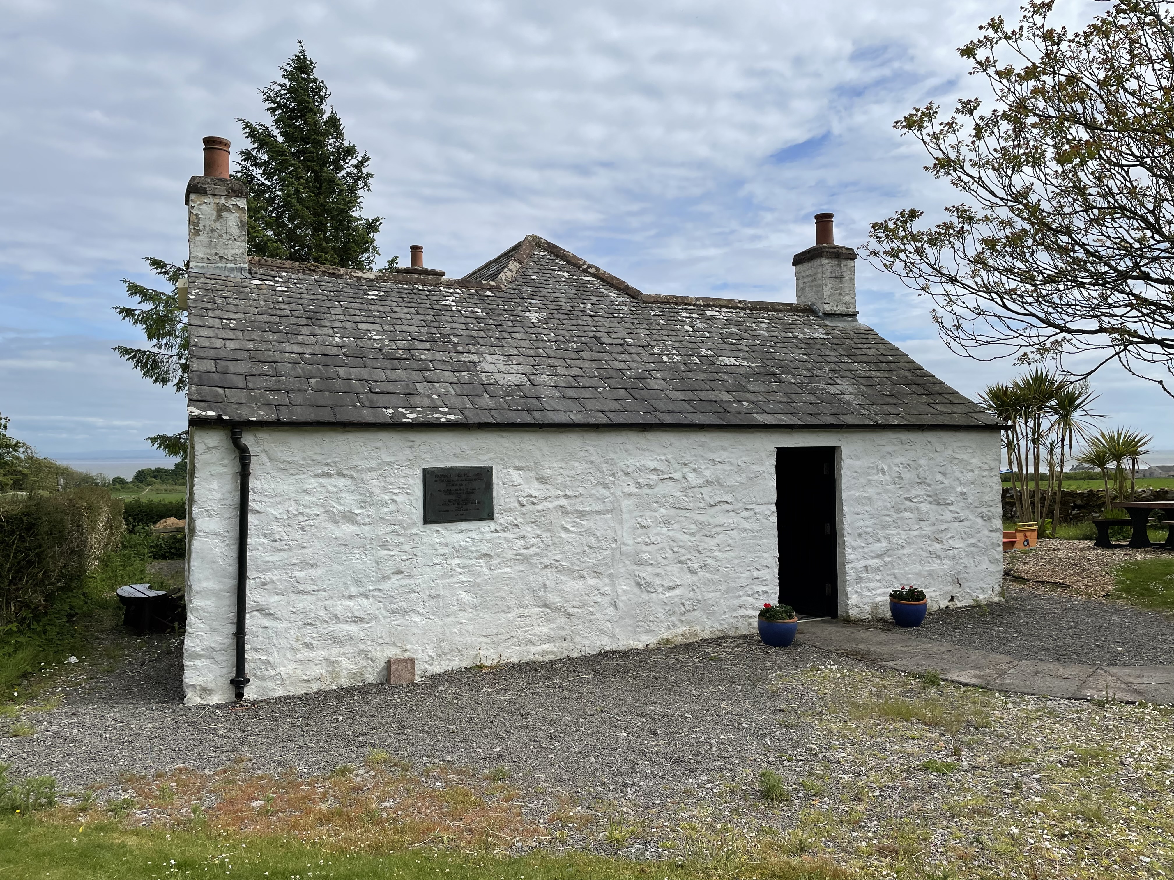
John Paul Jones Cottage Museum
The John Paul Jones Cottage Museum is located on the Arbigland Estate near Kirkbean in the historical county of Kirkcudbrightshire, Dumfries and Galloway...

Kirkbean
Kirkbean (Scottish Gaelic: Cille Bheathain) is a Scottish village and civil parish on the Solway Firth, in the historic county of Kirkcudbrightshire and...

Southerness
Southerness (/sʌðə'nɛs/; Scots: Satterness) is a small, compact coastal village in Dumfries and Galloway, Scotland. Southerness is located approximately...

Southerness Lighthouse
Southerness lighthouse is located at the village of Southerness in South West Scotland. It is at present the second oldest lighthouse in Scotland. The...

Criffel
Criffel is a hill in the historical county of Kirkcudbrightshire, Dumfries and Galloway, south-west Scotland. It is 570 m (1,870 ft) high but appears higher...

Caerlaverock Castle
Caerlaverock Castle is a moated triangular castle first built in the 13th century. It is located on the southern coast of Scotland, eleven kilometres...

Caerlaverock
Caerlaverock (; Scottish Gaelic: Cille Bhlàthain) is a civil parish in Dumfries and Galloway, Scotland. The parish was historically in Dumfriesshire....

Caerlaverock National Nature Reserve
Caerlaverock is a national nature reserve (NNR) covering parts of the mudflats and shoreline of the Solway Firth about 10 km south of Dumfries, in Dumfries...
Nearby Amenities
Located within 500m of 54.907005,-3.5624124Have you been to Borron Point?
Leave your review of Borron Point below (or comments, questions and feedback).