Edward's Geo
Coastal Feature, Headland, Point in Caithness
Scotland
Edward's Geo
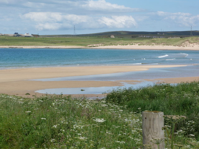
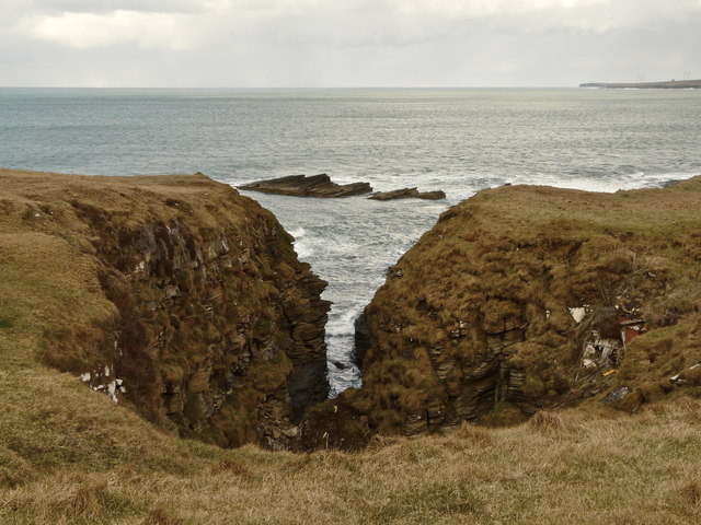
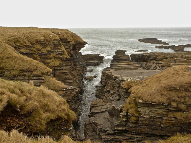
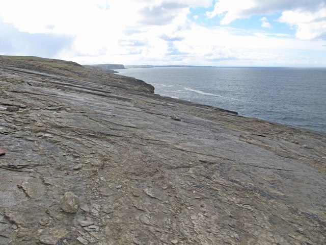
Edward's Geo is a prominent coastal feature located in the region of Caithness, Scotland. It is classified as a headland, specifically a point, due to its distinct shape and geographical characteristics. The headland extends out into the North Sea, forming a significant and well-defined point along the coastal landscape.
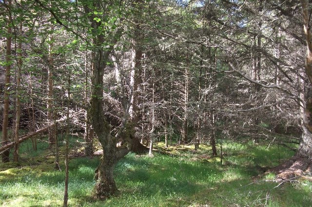
Edward's Geo is known for its steep cliffs that rise dramatically from the ocean, creating a breathtaking and picturesque view. The cliffs are composed of rugged rock formations, shaped over centuries by the relentless force of the waves crashing against them. These cliffs provide a natural barrier against the powerful tides and currents, making Edward's Geo a popular spot for coastal walks and exploration.
The headland offers visitors a unique opportunity to witness the diverse marine life thriving in the surrounding waters. Seabirds such as gannets, puffins, and kittiwakes can often be seen nesting along the cliffs, while seals and occasionally dolphins can be spotted swimming in the nearby waters. The area is also home to a variety of plant species that have adapted to the harsh coastal conditions.
Edward's Geo is not only a natural wonder but also holds historical significance. The headland is named after Edward, a local figure from Caithness, whose exact identity and history are not widely known. Nonetheless, the area's name serves as a reminder of the human connection to the land and the generations that have inhabited and appreciated its beauty.
Overall, Edward's Geo is a captivating and ecologically rich coastal feature, attracting nature enthusiasts, photographers, and history enthusiasts alike. Its rugged cliffs, diverse wildlife, and rich history make it an essential destination for those seeking to explore the natural wonders of Caithness.
If you have any feedback on the listing, please let us know in the comments section below.
Edward's Geo Images
Images are sourced within 2km of 58.572229/-3.7956049 or Grid Reference NC9566. Thanks to Geograph Open Source API. All images are credited.
Edward's Geo is located at Grid Ref: NC9566 (Lat: 58.572229, Lng: -3.7956049)
Unitary Authority: Highland
Police Authority: Highlands and Islands
What 3 Words
///lobbed.mergers.hiked. Near Reay, Highland
Nearby Locations
Related Wikis

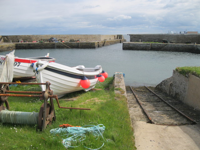
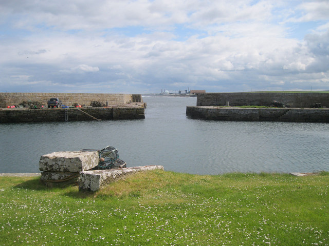
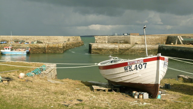
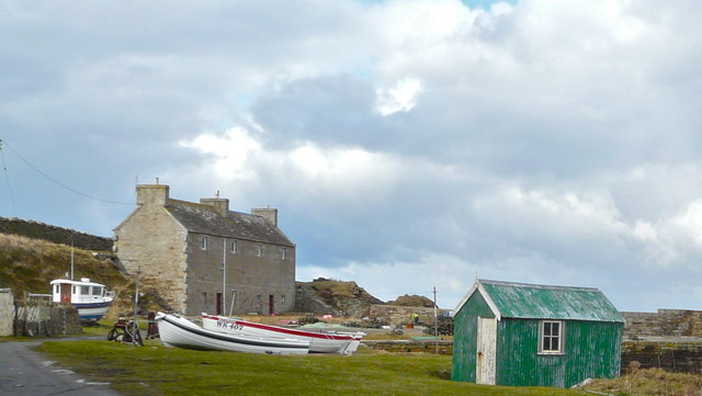
Fresgoe
Fresgoe is the main harbour for the village of Reay, overlooking Sandside Bay in Caithness in the Scottish highlands. It was built in the early 1830s,...

Sandside Chase
The Sandside Chase (The Chase of Sandside, The Chase of Sansett; in Gaelic, Ruoig-Hansett, Ruaig Handside or Ruaig-Shansaid) was a Scottish clan battle...

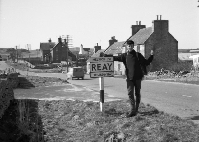
Reay
Reay (Scottish Gaelic: Ràth) is a village which has grown around Sandside Bay on the north coast of the Highland council area of Scotland. It is within...

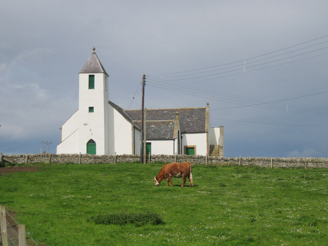
Reay Parish Church
Reay Parish Church is a Church of Scotland parish church serving Reay, Caithness. It is one of the most northerly communities on the Scottish mainland...
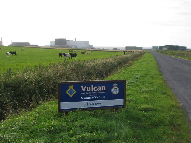
Vulcan Naval Reactor Test Establishment
Vulcan Naval Reactor Test Establishment (NRTE), formerly HMS Vulcan, is a UK Ministry of Defence (MoD) establishment in Scotland, operated by Rolls-Royce...

Dounreay Castle
Dounreay Castle is a ruined 16th-century L-plan castle, about 8 miles (13 km) west of Thurso, Highland (council area), Scotland, within the grounds of...

Dounreay
Dounreay (; Scottish Gaelic: Dùnrath) is a small settlement and the site of two large nuclear establishments on the north coast of Caithness in the Highland...

Achvarasdal
Achvarasdal (from the Norse placename meaning "Barr's valley", with the later, post 13th century addition of the Gaelic Ach-/Achadh- meaning "field") is...
Nearby Amenities
Located within 500m of 58.572229,-3.7956049Have you been to Edward's Geo?
Leave your review of Edward's Geo below (or comments, questions and feedback).