Anchor Stone
Coastal Feature, Headland, Point in Devon
England
Anchor Stone
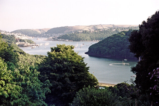
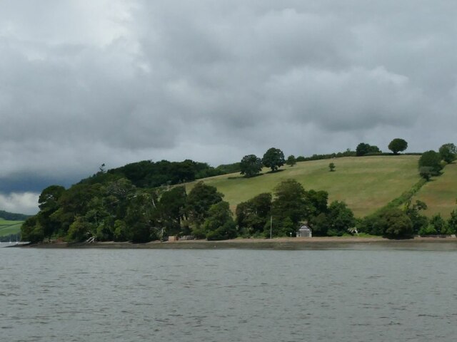
Anchor Stone is a prominent coastal feature located in Devon, England. Situated on the southern coast, it is specifically found on the picturesque headland between the towns of Torquay and Brixham. This stunning headland juts out into the English Channel, forming a distinct point that offers breathtaking views of the surrounding coastline.
The name "Anchor Stone" is derived from the large, anchor-shaped rock formation that stands proudly on the headland. This distinctive feature has become an iconic symbol of the area and is a popular subject for photographers and artists alike.
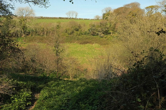
The headland itself is a mix of rugged cliffs, lush greenery, and pebbly beaches. It is home to a diverse range of coastal flora and fauna, making it a haven for nature lovers and wildlife enthusiasts. Visitors can often spot various seabirds soaring above the cliffs or catch a glimpse of seals basking on the rocks below.
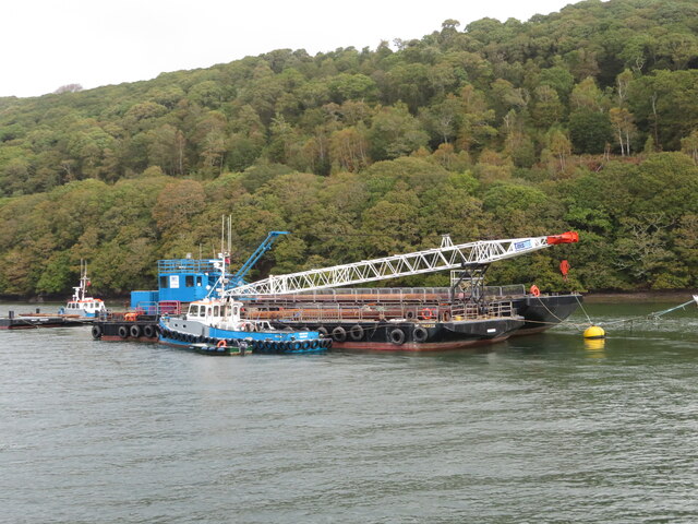
In addition to its natural beauty, Anchor Stone offers a range of recreational activities for visitors. The headland is a popular spot for hiking and walking, with several well-marked trails that meander through the surrounding countryside. Fishing is also a common pastime, with many anglers trying their luck from the rocky outcrops.
Overall, Anchor Stone is a captivating coastal feature that showcases the stunning natural beauty of Devon's coastline. Whether it's admiring the anchor-shaped rock formation, exploring the diverse wildlife, or enjoying outdoor activities, this headland has something to offer for everyone.
If you have any feedback on the listing, please let us know in the comments section below.
Anchor Stone Images
Images are sourced within 2km of 50.379608/-3.5883641 or Grid Reference SX8754. Thanks to Geograph Open Source API. All images are credited.


Anchor Stone is located at Grid Ref: SX8754 (Lat: 50.379608, Lng: -3.5883641)
Administrative County: Devon
Police Authority: Devon and Cornwall
What 3 Words
///newspaper.alley.mimic. Near Dartmouth, Devon
Nearby Locations
Related Wikis
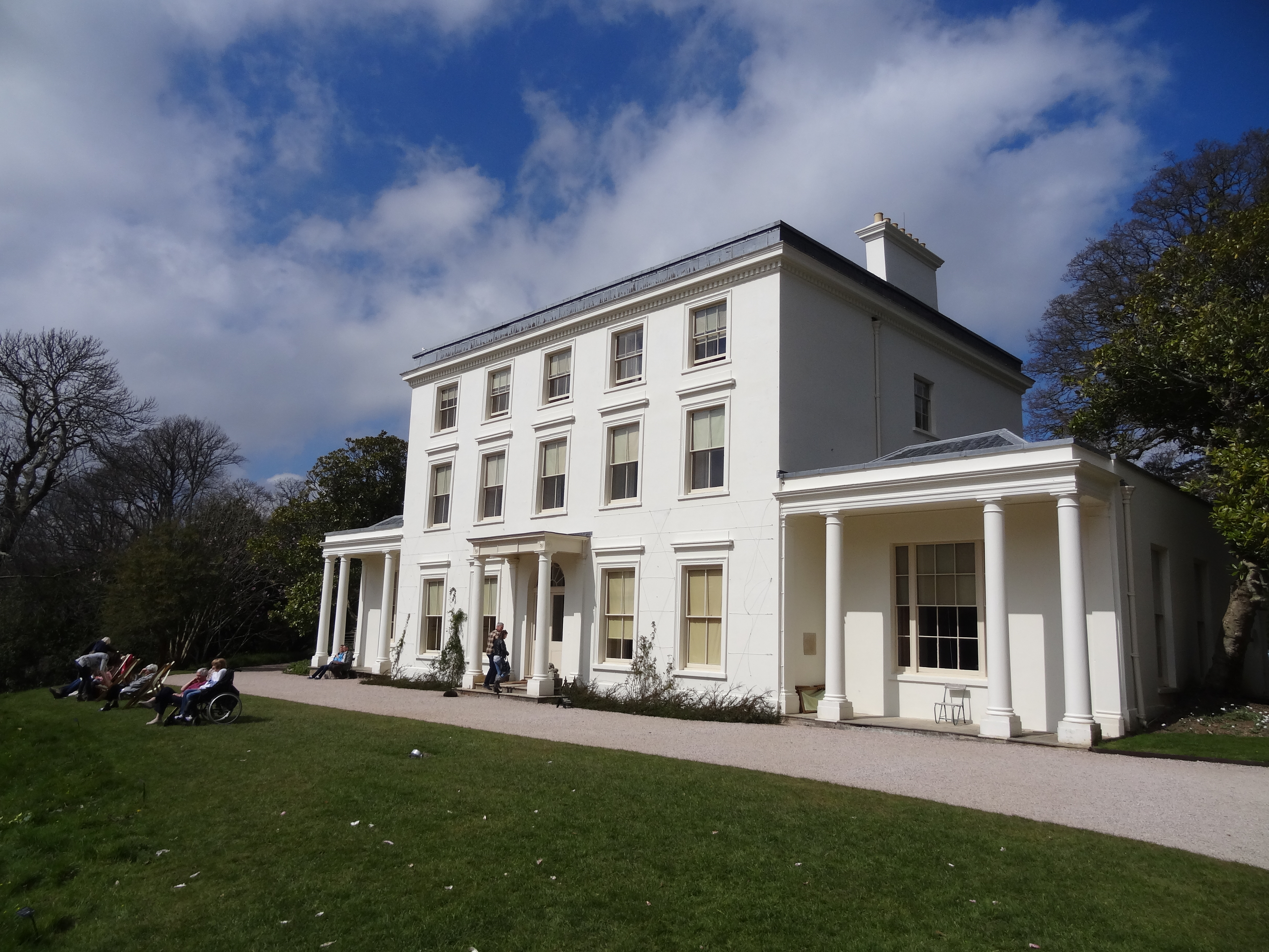
Greenway Estate
Greenway, also known as Greenway House, is an estate on the River Dart near Galmpton in Devon, England. Once the home of the author Agatha Christie, it...
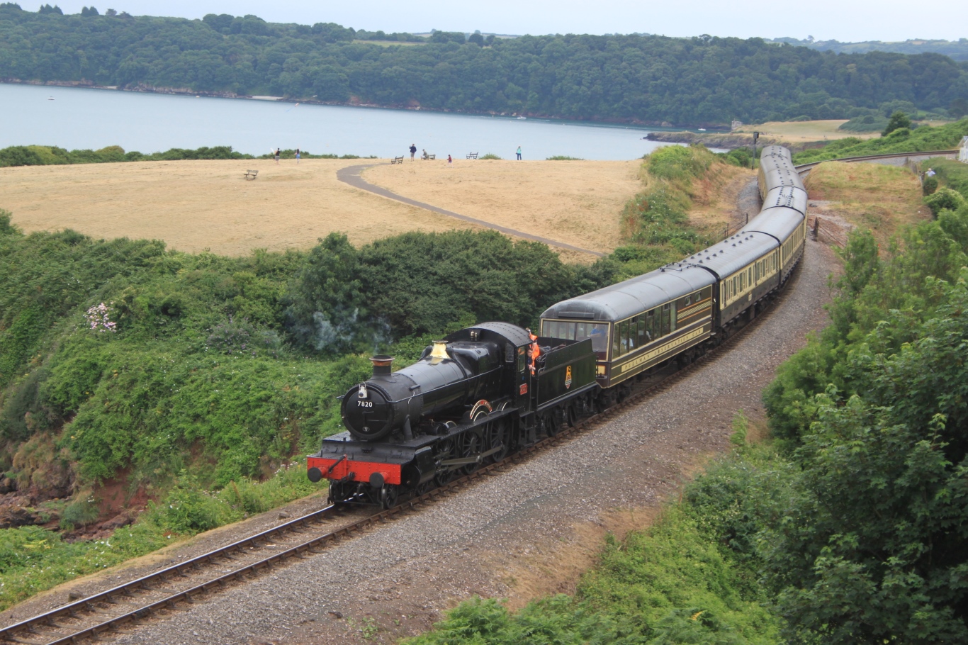
Dartmouth Steam Railway
The Dartmouth Steam Railway, formerly known as the Paignton and Dartmouth Steam Railway, is a 6.7-mile (10.8 km) heritage railway on the former Great Western...

Dittisham
Dittisham is a village and civil parish in the South Hams district of the English county of Devon. It is situated on the west bank of the tidal River...

Greenway Halt railway station (Devon)
Greenway Halt railway station is a small railway station on the Dartmouth Steam Railway, a heritage railway in Devon, England. It is situated near the...
Nearby Amenities
Located within 500m of 50.379608,-3.5883641Have you been to Anchor Stone?
Leave your review of Anchor Stone below (or comments, questions and feedback).