Lordshill Common
Settlement in Surrey Waverley
England
Lordshill Common
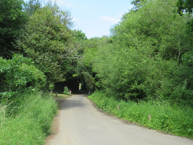
Lordshill Common is a picturesque area located in Surrey, England. This beautiful common covers an area of approximately 15 hectares and is a designated Site of Special Scientific Interest (SSSI). It is situated just east of the town of Haslemere, nestled within the South Downs National Park.
The common is characterized by a diverse range of habitats, including heathland, woodland, and wetland areas. These habitats support a rich variety of flora and fauna, making it a prime location for nature enthusiasts and wildlife lovers. Visitors can expect to see a plethora of bird species, such as the green woodpecker and the common buzzard, as well as a variety of butterflies and wildflowers.
The common also features several walking trails, providing visitors with the opportunity to explore and appreciate the natural beauty of the area. These trails offer stunning views of the surrounding countryside and are suitable for all levels of walkers.
In addition to its natural attractions, Lordshill Common has a long history. It was once part of the estate owned by the Lordshill Manor, which dates back to the 16th century. The common has since been preserved and managed by the National Trust, ensuring its conservation and protection for future generations to enjoy.
Overall, Lordshill Common in Surrey is a haven of natural beauty and biodiversity. Its combination of diverse habitats, scenic trails, and rich history make it a must-visit destination for anyone seeking a tranquil and immersive experience in the heart of nature.
If you have any feedback on the listing, please let us know in the comments section below.
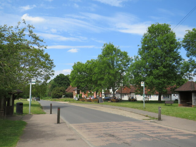
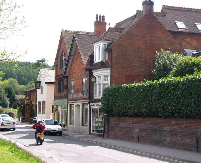
Lordshill Common Images
Images are sourced within 2km of 51.177148/-0.5422052 or Grid Reference TQ0243. Thanks to Geograph Open Source API. All images are credited.


Lordshill Common is located at Grid Ref: TQ0243 (Lat: 51.177148, Lng: -0.5422052)
Administrative County: Surrey
District: Waverley
Police Authority: Surrey
What 3 Words
///ever.update.firms. Near Bramley, Surrey
Nearby Locations
Related Wikis

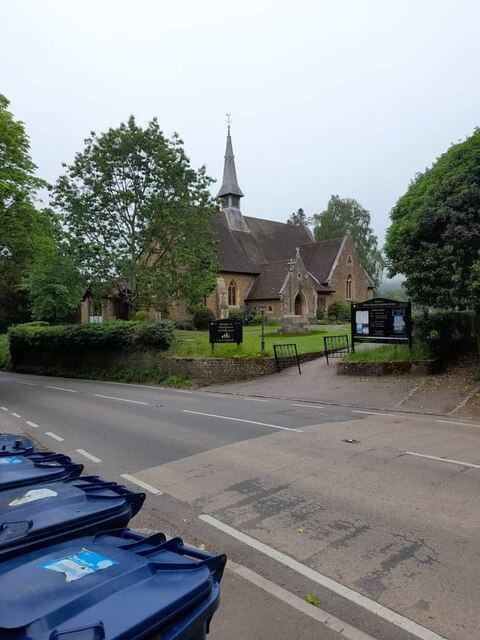
Christ Church, Shamley Green
Christ Church is a Church of England parish church in Shamley Green, Surrey, England. It was constructed in 1863 as a chapel of ease and became a parish...
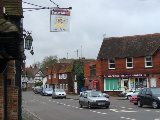
Bramley, Surrey
Bramley is a village and civil parish about three miles (5 km) south of Guildford in the Borough of Waverley in Surrey, south east England. Most of the...

Cucknell's Wood
Cucknell's Wood is a 11-hectare (27-acre) nature reserve south-east of Shamley Green in Surrey. It is managed by the Surrey Wildlife Trust.Birds in this...
St John's Seminary, Wonersh
St John's Seminary was a Roman Catholic seminary located at Wonersh near Guildford in Surrey, in the Diocese of Arundel and Brighton, United Kingdom. St...
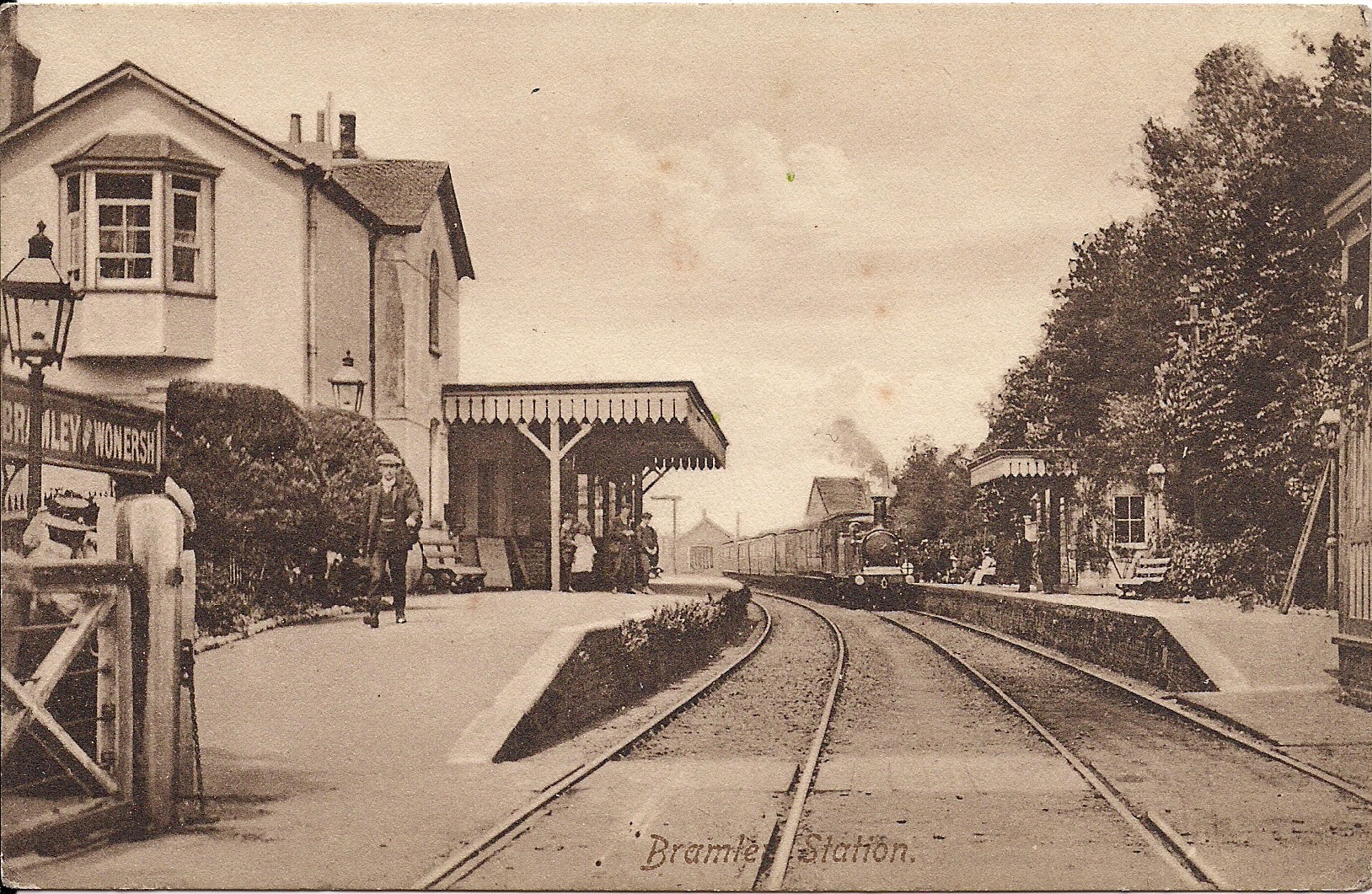
Bramley & Wonersh railway station
Bramley & Wonersh was a railway station on the Cranleigh Line. It served the villages of Bramley and Wonersh in Surrey. == History == Opened in 1865 as...
Wonersh
Wonersh is a village and civil parish in the Waverley district of Surrey, England and Surrey Hills Area of Outstanding Natural Beauty. Wonersh contains...
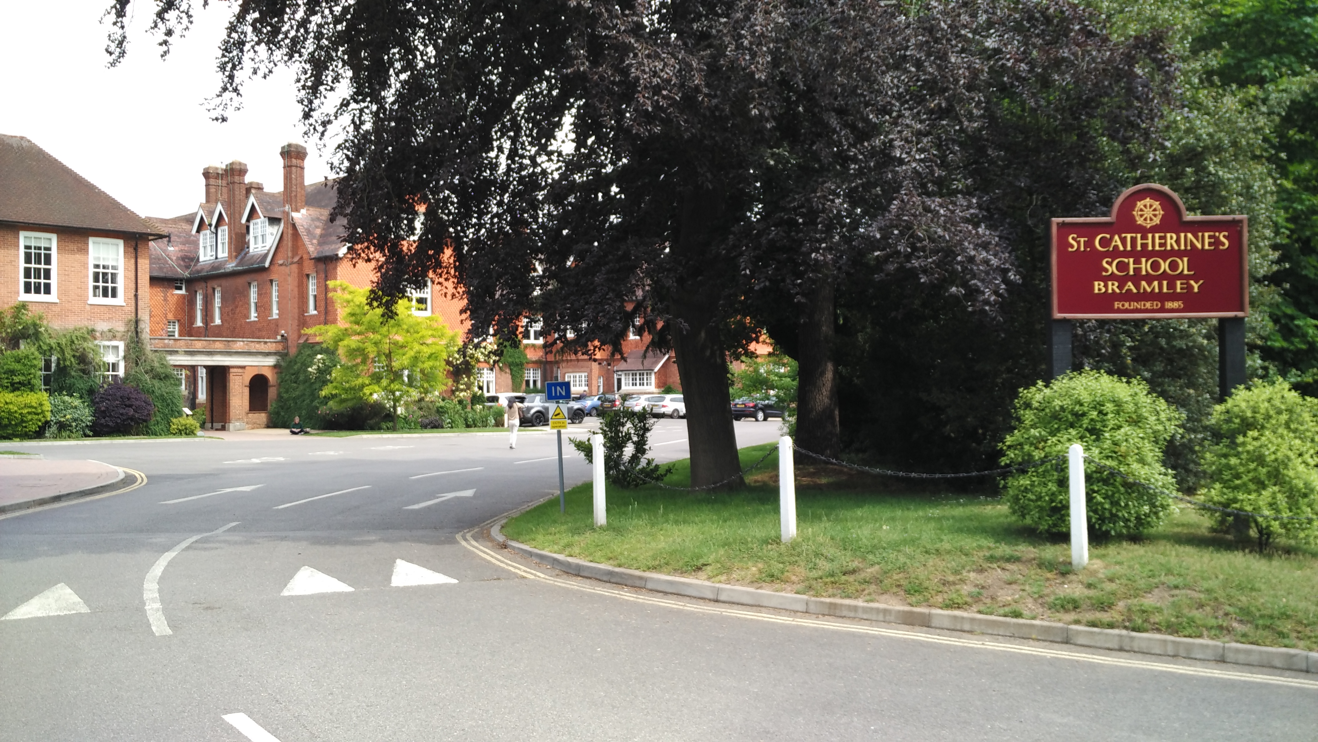
St Catherine's School, Bramley
St Catherine's School is an independent girls' boarding and day school in the village of Bramley, near Guildford, Surrey, England. The school is divided...

Orchards, Surrey
Orchards is an Arts and Crafts style house in Bramley in Surrey, England. It is on Bramley's boundary with Busbridge and 1 mile (1.6 km) south-east of...
Nearby Amenities
Located within 500m of 51.177148,-0.5422052Have you been to Lordshill Common?
Leave your review of Lordshill Common below (or comments, questions and feedback).