Geodh' na Muic
Coastal Feature, Headland, Point in Sutherland
Scotland
Geodh' na Muic

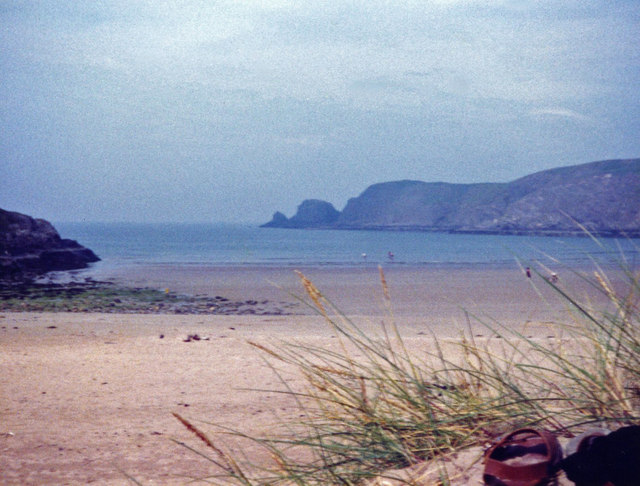
Geodh' na Muic is a prominent coastal feature located in Sutherland, a county in the Highland region of Scotland. Also known as The Pig's Cove, it is a headland that juts out into the North Sea, forming a distinct point along the rugged coastline.
This headland is characterized by its steep cliffs, which rise dramatically from the sea to a height of approximately 100 meters. The cliffs are composed of ancient sandstone, displaying layers of sedimentary rock that provide a glimpse into the geological history of the area. Over time, erosion has sculpted the cliffs, creating caves, arches, and other intriguing rock formations.
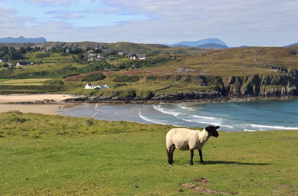
Geodh' na Muic offers breathtaking panoramic views of the surrounding area, including the vast expanse of the North Sea and the distant mountains of the Scottish mainland. The headland is a popular spot for nature enthusiasts, hikers, and photographers, who come to witness the dramatic coastal scenery and capture the beauty of the landscape.
The area surrounding Geodh' na Muic is rich in wildlife, with various seabirds nesting on the cliffs, including puffins, guillemots, and razorbills. The waters below are also home to a diverse array of marine life, including seals, dolphins, and even occasional sightings of whales.
Access to Geodh' na Muic is possible via a coastal footpath that winds its way along the cliffs, offering visitors the opportunity to explore the headland and enjoy its natural wonders. However, caution is advised due to the steep and potentially hazardous terrain.
Overall, Geodh' na Muic is a remarkable coastal feature that showcases the raw beauty of Scotland's coastline, providing visitors with a memorable experience and a glimpse into the region's rich natural heritage.
If you have any feedback on the listing, please let us know in the comments section below.
Geodh' na Muic Images
Images are sourced within 2km of 58.533499/-4.2239582 or Grid Reference NC7062. Thanks to Geograph Open Source API. All images are credited.


Geodh' na Muic is located at Grid Ref: NC7062 (Lat: 58.533499, Lng: -4.2239582)
Unitary Authority: Highland
Police Authority: Highlands and Islands
What 3 Words
///splinters.nips.screeches. Near Reay, Highland
Nearby Locations
Related Wikis

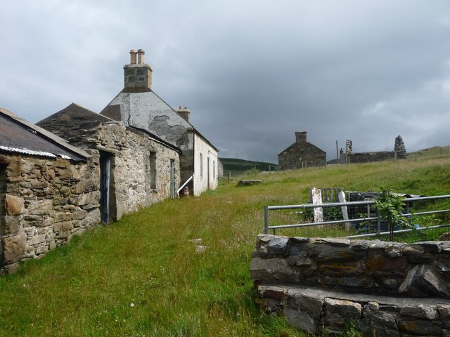
Bettyhill
Bettyhill (Scottish Gaelic: Am Blàran Odhar) is a village in the parish of Farr, on the north coast of Scotland.Bettyhill lies on the A836 road 32 miles...

Strathnaver Museum
Strathnaver Museum is located in Bettyhill, Sutherland, Scotland. It is a fully accredited volunteer-run independent museum which first opened in 1976...
Crask
Crask is a small remote hamlet, situated on Farr Bay in the Scottish Highlands, on the shore of northern Sutherland in the Scottish council area of Highland...
Farr, Sutherland
Farr (Scottish Gaelic: Fàrr) is a parish in the county of Sutherland in the Scottish council area of Highland. The parish also includes a small hamlet...

Baile Mhargaite (Sandy Dun)
Baile Mhargaite (also known as Lochan Druim An Duin, the Sandy Dun, or Invernaver Broch) is an Iron Age broch in Strathnaver, Sutherland. It is a scheduled...
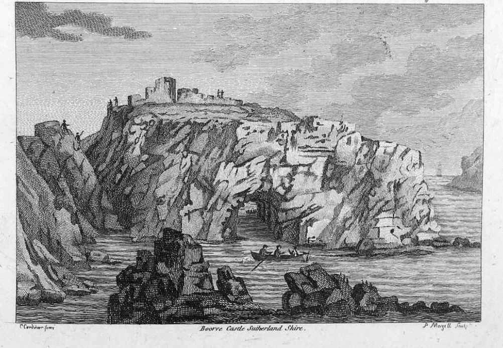
Borve Castle, Sutherland
Borve Castle in Sutherland, Scottish Highlands is now a ruin. Formerly called the House of Burro. It was built in Kirtomy Bay near the hamlet of Farr....

Invernaver
Invernaver (Gaelic: Inbhir Nabhair) is a small, remote hamlet, situated on the west bank of the River Naver as it flows into Torrisdale Bay, in Sutherland...
Swordly
Swordly (Scottish Gaelic: Suardailigh) is an extremely remote hamlet, located on the Bay of Swordly, on the north coastline of Scotland in Sutherland...
Nearby Amenities
Located within 500m of 58.533499,-4.2239582Have you been to Geodh' na Muic?
Leave your review of Geodh' na Muic below (or comments, questions and feedback).