Creagan Fhithich

Coastal Feature, Headland, Point in Sutherland

Scotland

Creagan Fhithich

Ruins in Spinningdale The ruins of an old mill in Spinningdale overlooking the Dornoch Firth
Ruins in Spinningdale Credit: Graeme Smith

The requested URL returned error: 429 Too Many Requests

If you have any feedback on the listing, please let us know in the comments section below.

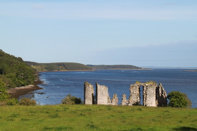
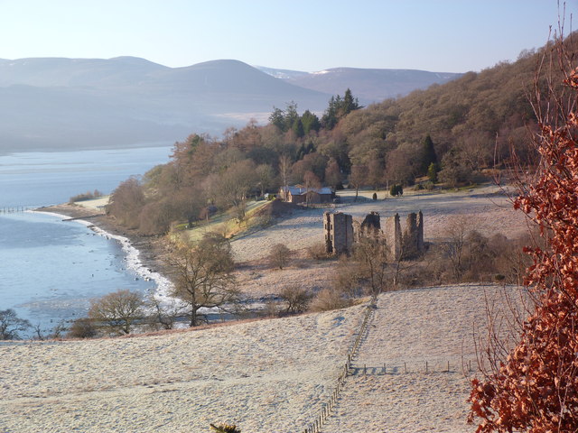
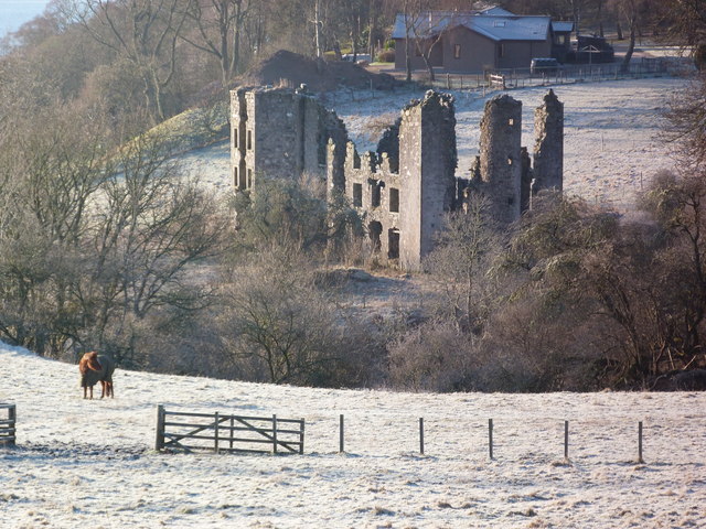
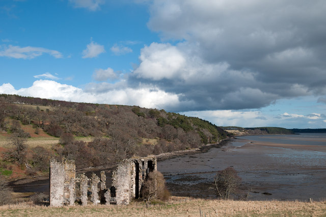
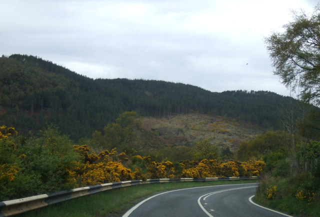
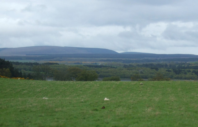
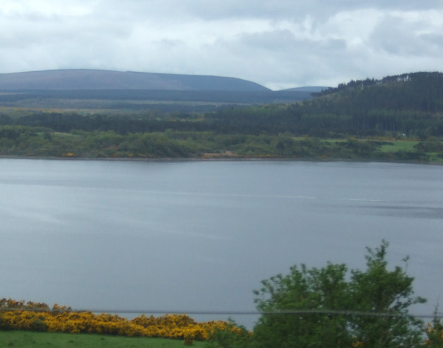
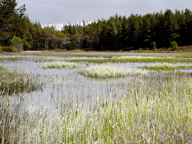
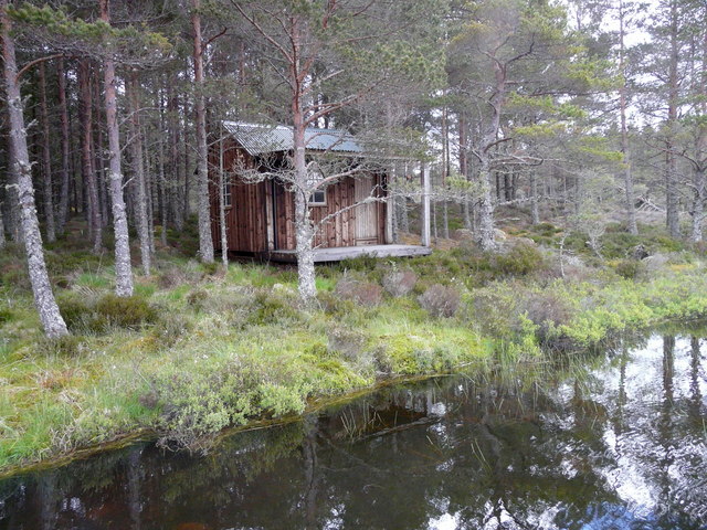
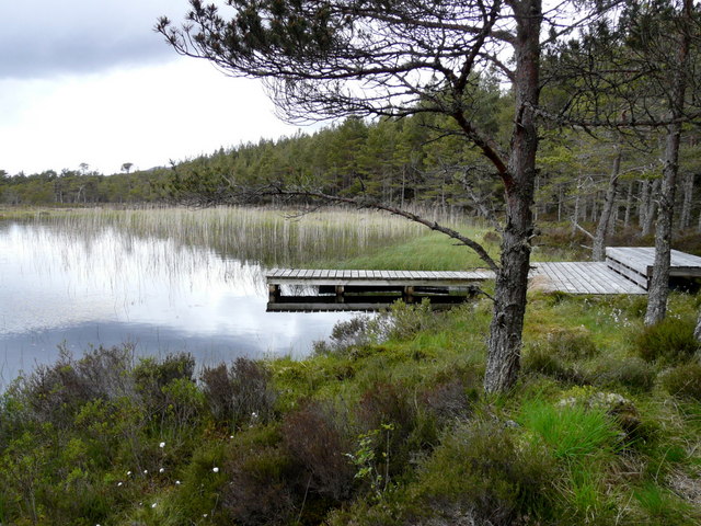
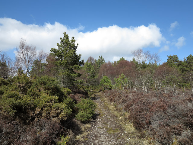
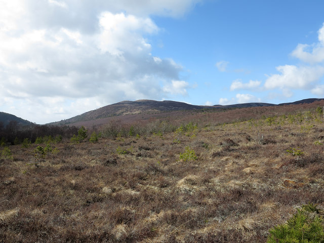
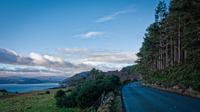
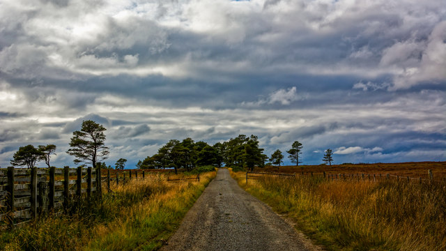
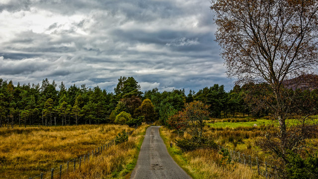
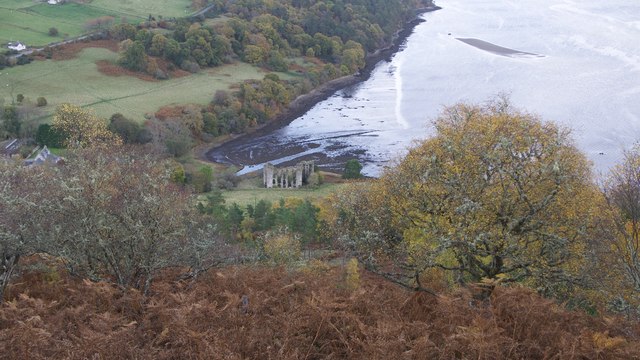
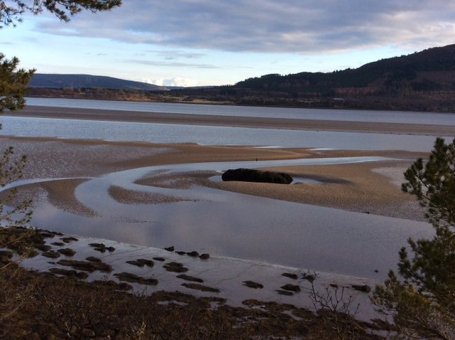
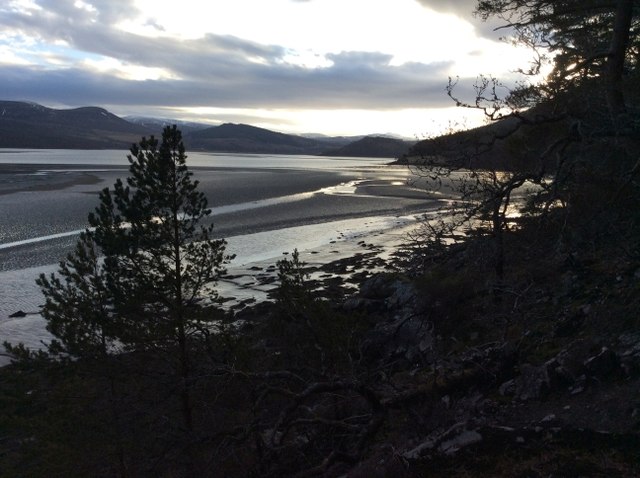
Creagan Fhithich Images

Images are sourced within 2km of 57.874197/-4.2023829 or Grid Reference NH6989. Thanks to Geograph Open Source API. All images are credited.

Ruins in Spinningdale The ruins of an old mill in Spinningdale overlooking the Dornoch Firth
Ruins in Spinningdale
The ruins of an old mill in Spinningdale overlooking the Dornoch Firth
Spinningdale and the ruins of the old mill
Ruins of the old mill at Spinningdale The mill had a short life; it was built in 1794 but gutted by fire in 1806.
Ruins of the old mill at Spinningdale
The mill had a short life; it was built in 1794 but gutted by fire in 1806.
Ruins of Spinningdale Mill Spinningdale Mill was built between 1792 and 1794 and was apparently destroyed by fire in 1806; it lies above the north side of the upper part of Dornoch Firth.
Ruins of Spinningdale Mill
Spinningdale Mill was built between 1792 and 1794 and was apparently destroyed by fire in 1806; it lies above the north side of the upper part of Dornoch Firth.
Sharp bend in the A949 Heading west towards Boanar Bridge.
Sharp bend in the A949
Heading west towards Boanar Bridge.
Grazing south of the A919
View towards the Dornoch Firth
Loch as Airde Apparently an artificially created or enhanced loch for fishing etc., but now filling rather rapidly from sedimentation and natural decay.
Loch as Airde
Apparently an artificially created or enhanced loch for fishing etc., but now filling rather rapidly from sedimentation and natural decay.
Fishing bothy on Loch Saine
Dock on Loch Saine
Dock on Loch Saine
Regenerating woodland This is Spinningdale Wood or other woodland adjacent to it where there seems to be regeneration of natural woodland on-going - there are trees of different ages and of different species growing randomly. The route through the trees is clear here and there's evidence that a 'forest walk' has been created but its continuity is uncertain... the way was lost at one point... due to imperfect signage?
Regenerating woodland
This is Spinningdale Wood or other woodland adjacent to it where there seems to be regeneration of natural woodland on-going - there are trees of different ages and of different species growing randomly. The route through the trees is clear here and there's evidence that a 'forest walk' has been created but its continuity is uncertain... the way was lost at one point... due to imperfect signage?
Heather slope with regenerating woodland The slope is in or close to Spinningdale Wood where regeneration of natural woodland appears to be on-going. The distant hill is Creag a' Bhealaich.
Heather slope with regenerating woodland
The slope is in or close to Spinningdale Wood where regeneration of natural woodland appears to be on-going. The distant hill is Creag a' Bhealaich.
Looking west along the A949 towards Spinningdale Formerly the A9 before the opening of the Dornoch Bridge in 1991
Looking west along the A949 towards Spinningdale
Formerly the A9 before the opening of the Dornoch Bridge in 1991
Road west at Acharry Mur
Minor road above Spinningdale
Spinningdale Mill from the viewpoint in Ledmore Wood A return visit following one in March 2017.  <a href="https://www.geograph.org.uk/photo/5316340">NH6789 : Viewpoint in Ledmore Wood</a>
Spinningdale Mill from the viewpoint in Ledmore Wood
A return visit following one in March 2017. NH6789 : Viewpoint in Ledmore Wood
Sandbanks from Coille Baile na Creige Grid square NH 6888 starts in the middle of the far sandbank and extends out into the Dornoch Firth. Photo taken half an hour before a very low tide (0.33m).
Sandbanks from Coille Baile na Creige
Grid square NH 6888 starts in the middle of the far sandbank and extends out into the Dornoch Firth. Photo taken half an hour before a very low tide (0.33m).
Looking up the Dornoch Firth from Coille Baile na Creige This picture shows the only remotely plausible land access to square NH 6888, which is on the very left hand side of the picture. It shows that in order to get to the square one has to cross gulleys and deep mud. Photo taken half an hour before a very low tide (0.33m).
Looking up the Dornoch Firth from Coille Baile na Creige
This picture shows the only remotely plausible land access to square NH 6888, which is on the very left hand side of the picture. It shows that in order to get to the square one has to cross gulleys and deep mud. Photo taken half an hour before a very low tide (0.33m).
Show me another place!

Creagan Fhithich is located at Grid Ref: NH6989 (Lat: 57.874197, Lng: -4.2023829)

Unitary Authority: Highland

Police Authority: Highlands and Islands

What 3 Words

///bearings.shred.triangle. Near Dornoch, Highland

Related Wikis

A949 road

The A949 is a major road in Sutherland, in the Highland area of Scotland. It has staggered junctions with the A9. From the A949 the A9 runs (1) generally...

Spinningdale

Spinningdale (Scottish Gaelic: Spainnigeadal) is a hamlet, in the Parish of Creich, on the north shore of the Dornoch Firth in eastern Sutherland, in the...

Pulrossie

Pulrossie is a farm in Sutherland, in the Highland council area of Scotland. It is situated on the northern shore of the Kyle of Sutherland, 8 km west...

Ardmore, Easter Ross

Ardmore (Scottish Gaelic: An Àird Mhòr) is a village on the south shore of Dornoch Firth in Tain, Ross-shire, Highland and is in the Scottish council area...

Nearby Amenities

Located within 500m of 57.874197,-4.2023829
Created By: almien_coastlines
Source: PGS
Lat/Long: 57.872701/-4.209515
Created By: almien_coastlines
Source: PGS
Lat/Long: 57.872449/-4.209026
Source: PGS
Lat/Long: 57.8722772/-4.2077141
Source: PGS
Lat/Long: 57.8720731/-4.2066932
Source: PGS
Lat/Long: 57.8718266/-4.2049404
Source: PGS
Lat/Long: 57.8715169/-4.2033872
Source: PGS
Lat/Long: 57.8714456/-4.2030684
Source: PGS
Lat/Long: 57.8712923/-4.2027679
Created By: almien_coastlines
Source: PGS
Lat/Long: 57.871233/-4.202259
Source: PGS
Lat/Long: 57.8712167/-4.2021296
Source: PGS
Lat/Long: 57.870852/-4.2009777
Source: PGS
Lat/Long: 57.8703352/-4.1990893
Source: PGS
Lat/Long: 57.8728144/-4.2091319
The data included in this document is from www.openstreetmap.org. The data is made available under ODbL.

Have you been to Creagan Fhithich?

Leave your review of Creagan Fhithich below (or comments, questions and feedback).