Fox Craig
Coastal Feature, Headland, Point in Kirkcudbrightshire
Scotland
Fox Craig
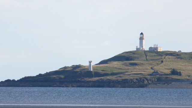
Fox Craig is a prominent coastal feature located in Kirkcudbrightshire, Scotland. Situated on the coast of the Solway Firth, it is a stunning headland that extends out into the sea, forming a distinct point. With its picturesque landscape and breathtaking views, Fox Craig is a popular destination for locals and tourists alike.
The headland is composed of rugged cliffs, which provide a dramatic backdrop to the surrounding scenery. These cliffs are made up of various rock formations, including sandstone and granite, adding to the area's geological significance. At the top of Fox Craig, there is a grassy plateau where visitors can enjoy panoramic vistas of the coastline, the sea, and the distant hills.
The area is also known for its diverse wildlife. Fox Craig is home to a variety of seabirds, including gulls, puffins, and cormorants, which nest on the cliffs. The surrounding waters are inhabited by seals and occasionally dolphins, making it a haven for nature enthusiasts and birdwatchers.
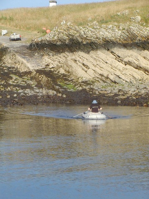
Access to Fox Craig is relatively easy, with a well-maintained footpath leading to the headland. The walk offers stunning views along the way, making it a popular choice for hikers and walkers. There are also picnic areas and benches available, allowing visitors to relax and soak in the natural beauty of the surroundings.
In summary, Fox Craig is a captivating coastal feature in Kirkcudbrightshire, Scotland. With its rugged cliffs, breathtaking views, and diverse wildlife, it is a must-visit destination for nature lovers and those seeking a peaceful retreat by the sea.
If you have any feedback on the listing, please let us know in the comments section below.
Fox Craig Images
Images are sourced within 2km of 54.765855/-4.094699 or Grid Reference NX6543. Thanks to Geograph Open Source API. All images are credited.


Fox Craig is located at Grid Ref: NX6543 (Lat: 54.765855, Lng: -4.094699)
Unitary Authority: Dumfries and Galloway
Police Authority: Dumfries and Galloway
What 3 Words
///sniff.resold.herb. Near Kirkcudbright, Dumfries & Galloway
Nearby Locations
Related Wikis

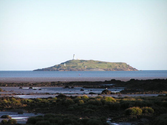
Little Ross
Little Ross is a 29-acre (12-hectare) island with a lighthouse on the Solway Coast south of the town of Kirkcudbright in Galloway, Scotland. It is next...

Kirkcudbright Bay
Kirkcudbright Bay is an inlet of the Irish Sea on the coast of Galloway in southwest Scotland. Its coastline falls entirely within the modern administrative...

River Dee, Galloway
The River Dee (Scottish Gaelic: Dè / Uisge Dhè), in south-west Scotland, flows from its source in Loch Dee amongst the Galloway Hills, firstly to Clatteringshaws...

Borness
Borness is a farm of around 1550 acres on the coast of Borgue Parish in the Stewartry of Kirkcudbrightshire (now part of Dumfries and Galloway). It is...
Nearby Amenities
Located within 500m of 54.765855,-4.094699Have you been to Fox Craig?
Leave your review of Fox Craig below (or comments, questions and feedback).