Seven Slades
Coastal Feature, Headland, Point in Glamorgan
Wales
Seven Slades

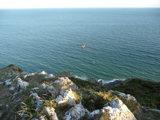
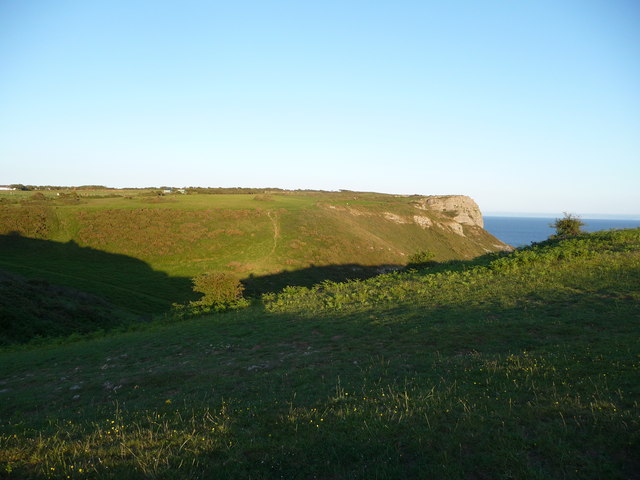
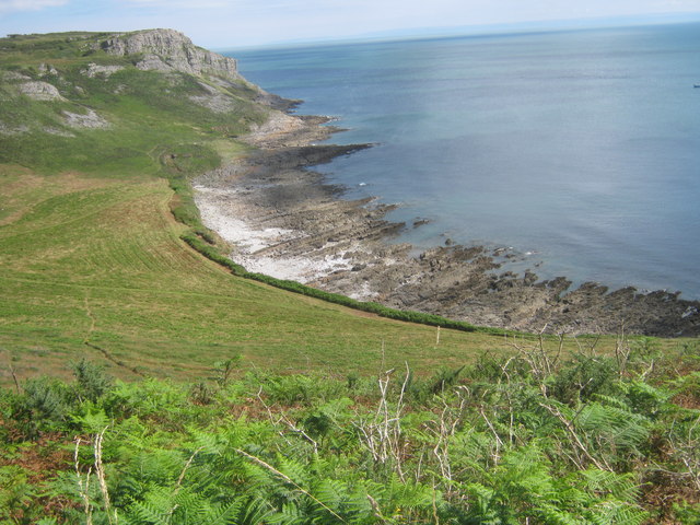
Seven Slades is a prominent coastal feature located in Glamorgan, Wales. Situated on the southernmost part of the Welsh coast, it is a headland that juts out into the Bristol Channel. This picturesque point is a popular destination for locals and tourists alike, offering breathtaking views of the surrounding area.
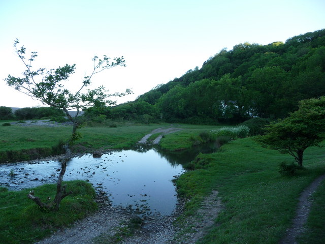
The name "Seven Slades" refers to the seven distinct valleys or ravines that cut through the headland, creating a unique and rugged landscape. Each slade is characterized by steep cliffs and rocky outcrops, providing a dramatic backdrop against the backdrop of the sea.
The headland itself is composed of sedimentary rocks, primarily sandstone and limestone, which have been shaped over millions of years by erosion from the powerful waves and tides of the Bristol Channel. As a result, Seven Slades showcases a range of geological formations, including caves, arches, and stacks, adding to its natural beauty and appeal.
The area is also home to a diverse array of wildlife, with numerous species of seabirds nesting along the cliffs. Visitors to Seven Slades can often spot gulls, razorbills, guillemots, and even the occasional puffin during breeding season. The surrounding waters are rich in marine life as well, making it a popular spot for fishing and diving enthusiasts.
Seven Slades is easily accessible by foot, with well-maintained paths and trails leading to the headland. The site is a designated Area of Outstanding Natural Beauty, attracting nature lovers, hikers, and photographers who seek to immerse themselves in its stunning coastal scenery.
If you have any feedback on the listing, please let us know in the comments section below.
Seven Slades Images
Images are sourced within 2km of 51.565163/-4.0499459 or Grid Reference SS5887. Thanks to Geograph Open Source API. All images are credited.


Seven Slades is located at Grid Ref: SS5887 (Lat: 51.565163, Lng: -4.0499459)
Unitary Authority: Swansea
Police Authority: South Wales
What 3 Words
///prompts.purse.admiringly. Near Bishopston, Swansea
Nearby Locations
Related Wikis
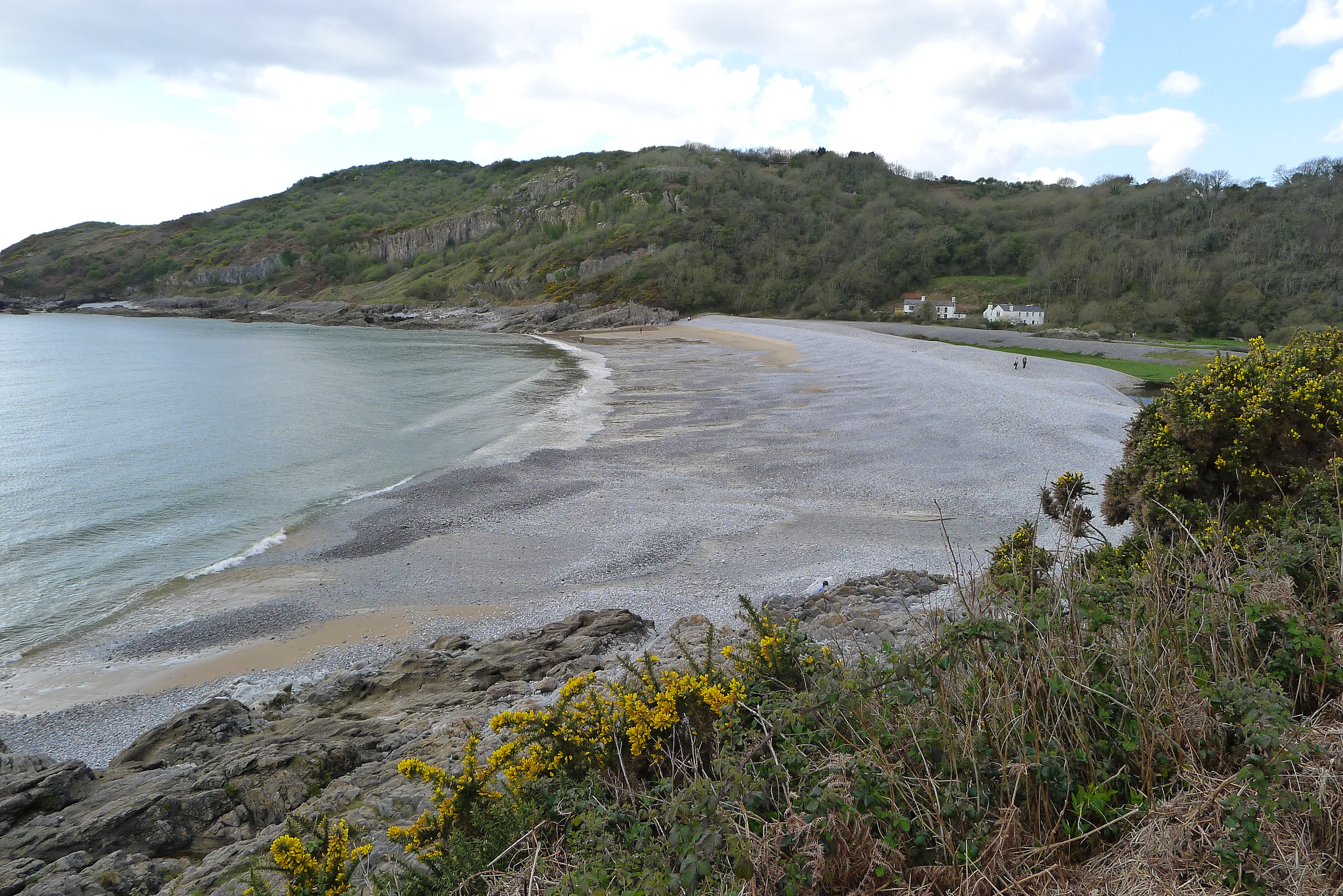
Pwlldu Bay
Pwlldu Bay or Pwll Du Bay (Welsh: Bae Pwll Du) is a small beach on the south Gower Peninsula coast in south Wales. It is one of the more remote beaches...

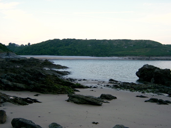
Brandy Cove
Brandy Cove or Welsh Bae gîl is a very small beach in the Gower Peninsula, south Wales, that is much less accessible than Caswell Bay immediately to the...
Bishopston, Swansea
Bishopston (Welsh: Llandeilo Ferwallt, historically also Llanmerwallt and Llancyngur Trosgardi) is a large village and community situated on the Gower...

Caswell Bay
Caswell Bay (Welsh: Bae Cas-wellt; meaning: straw fortress), is a beach on the south east of the Gower Peninsula, Swansea, Wales. It is a sandy beach popular...
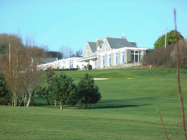
Langland Bay Golf Club
Langland Bay Golf Club is an 18-hole golf course known in an Area of Outstanding Natural Beauty overlooking Langland Bay near Swansea, Wales, UK.The first...
Bishop's Wood
Bishop's Wood (Welsh: Coed yr Esgob) is a nature reserve in the Gower Peninsula, south Wales. The area consists of 46 acres (19 hectares) of limestone...
Hunts Bay
Hunts Bay is located on the south coast of the Gower Peninsula, Wales, between Pwll du and Foxhole to the east of Three Cliffs Bay. It was once a sandy...

Bishopston Comprehensive School
Bishopston Comprehensive School (Welsh: Ysgol Gyfun Llandeilo Ferwallt) is a comprehensive school in Bishopston, Swansea, Wales. It provides education...
Nearby Amenities
Located within 500m of 51.565163,-4.0499459Have you been to Seven Slades?
Leave your review of Seven Slades below (or comments, questions and feedback).