Allt Wen
Coastal Feature, Headland, Point in Cardiganshire
Wales
Allt Wen

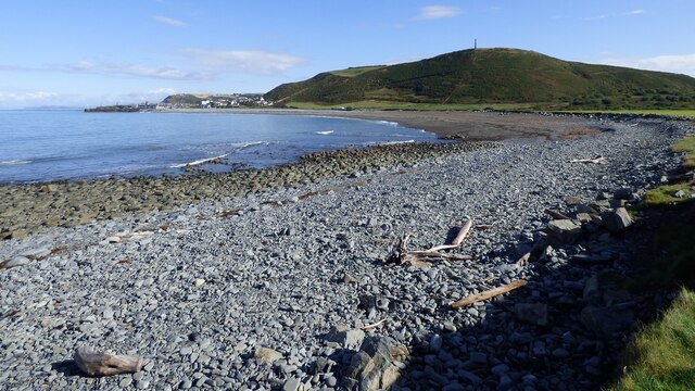
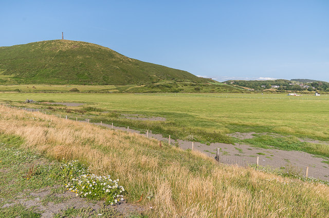
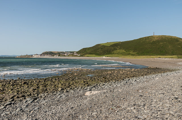
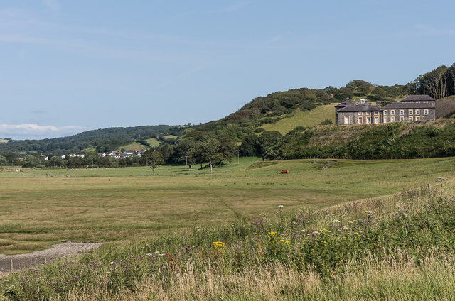
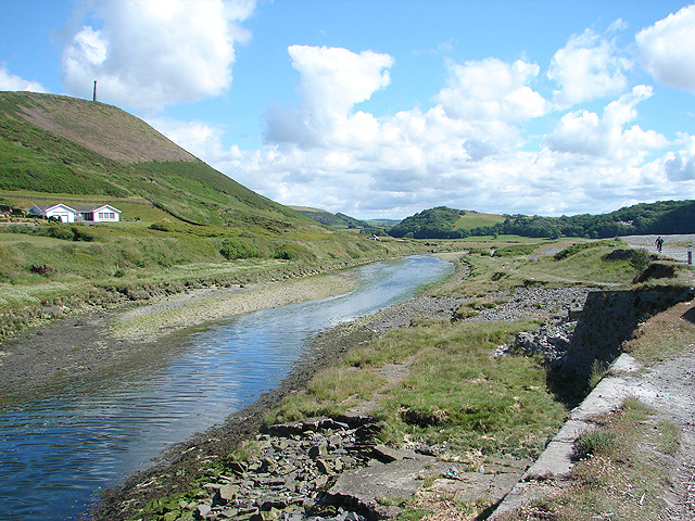
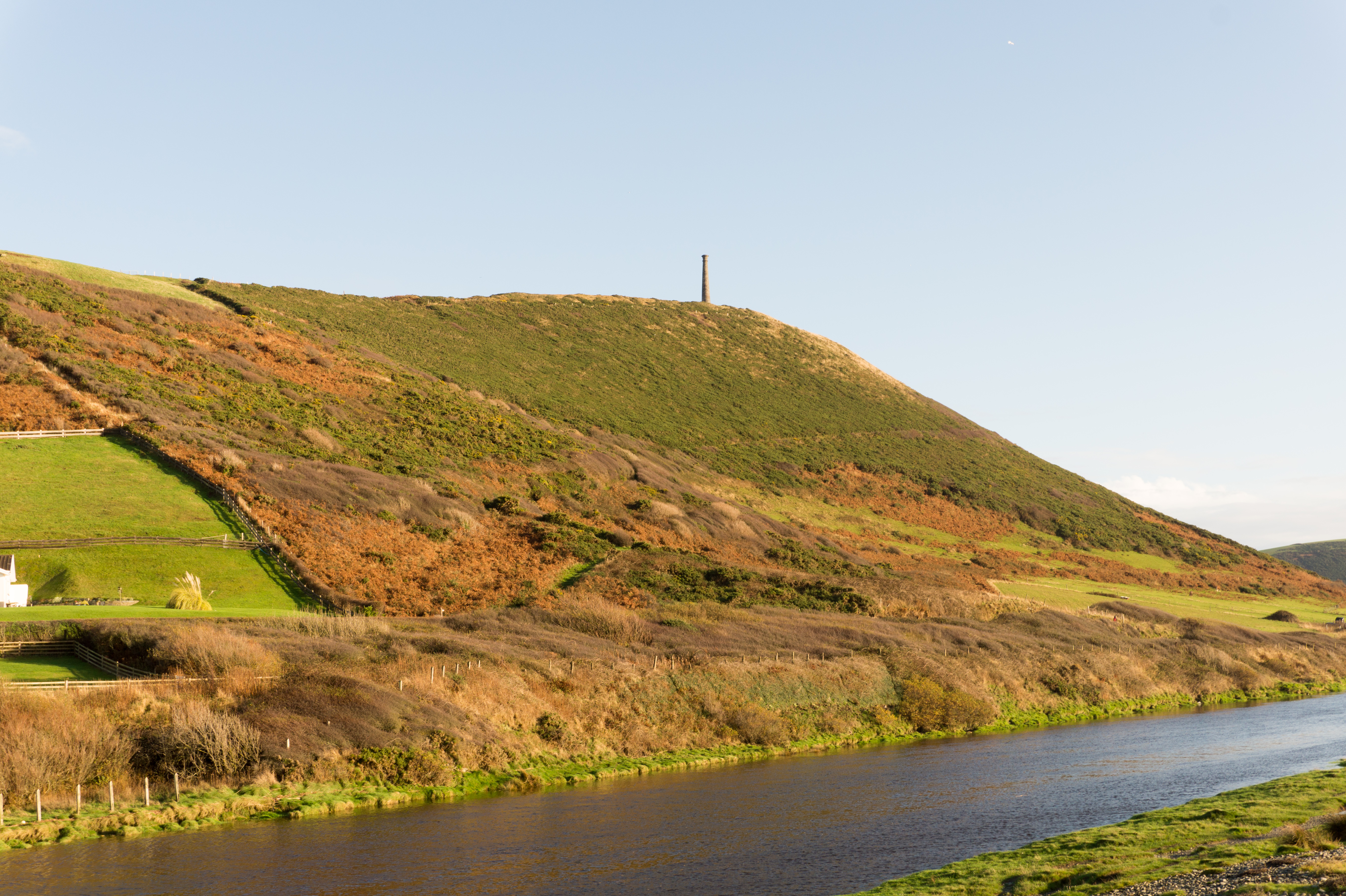
Allt Wen is a stunning coastal feature located in Cardiganshire, Wales. It is a prominent headland and point that juts out into the Irish Sea, providing breathtaking views of the surrounding landscape. The name "Allt Wen" translates to "White Slope," which accurately describes the area's physical characteristics.
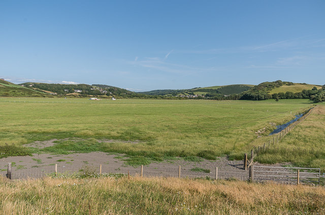
Rising to an elevation of around 100 meters, Allt Wen offers visitors a commanding vantage point to observe the rugged coastline, sandy beaches, and rolling hills of Cardiganshire. The headland is composed of various rock formations, including sedimentary layers that reveal the area's geological history. These formations are a source of great interest for geologists and nature enthusiasts alike.
The headland is also home to a diverse range of flora and fauna. The rugged coastal environment provides a habitat for various seabirds, including gulls and cormorants, which can be spotted nesting and soaring above the cliffs. In addition to the birdlife, visitors may also catch glimpses of seals and dolphins swimming in the waters below.
Allt Wen is a popular destination for outdoor enthusiasts, offering opportunities for hiking, walking, and photography. There are well-maintained trails that lead visitors along the cliff edges, providing panoramic views of the ocean and the surrounding countryside. The headland is also a fantastic spot to witness stunning sunsets, as the sun dips below the horizon, casting a warm glow over the landscape.
Overall, Allt Wen is a remarkable coastal feature that showcases the natural beauty and unique geological formations of Cardiganshire. With its breathtaking views, diverse wildlife, and recreational opportunities, it is a must-visit destination for nature lovers and those seeking an escape into the tranquility of the Welsh coastline.
If you have any feedback on the listing, please let us know in the comments section below.
Allt Wen Images
Images are sourced within 2km of 52.393603/-4.0947616 or Grid Reference SN5779. Thanks to Geograph Open Source API. All images are credited.


Allt Wen is located at Grid Ref: SN5779 (Lat: 52.393603, Lng: -4.0947616)
Unitary Authority: Ceredigion
Police Authority: Dyfed Powys
What 3 Words
///truly.cook.annotated. Near Penparcau, Ceredigion
Nearby Locations
Related Wikis
Tan-y-Bwlch, Aberystwyth
Tan-y-Bwlch (Welsh for 'Under the pass / gap') beach near Aberystwyth, Wales, forms part of the Pen Dinas and Tan-y-Bwlch Local Nature Reserve (LNR). The...
Pen Dinas
Pen Dinas (Welsh pronunciation: [pɛn ˈdiːnas]) is a large hill in Penparcau, on the coast of Ceredigion, Wales, (just south of Aberystwyth) upon which...
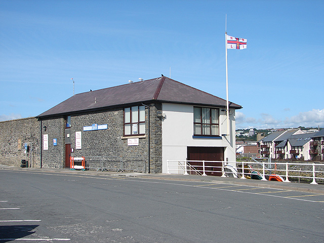
Aberystwyth Lifeboat Station
Aberystwyth Lifeboat Station is a Royal National Lifeboat Institution (RNLI) lifeboat station in the coastal resort of Aberystwyth, Ceredigion, West Wales...
Penparcau
Penparcau (Welsh pronunciation: [pɛnˈparkai̯]) is a village and electoral ward in Ceredigion, Wales, situated to the south of Aberystwyth. The original...
Nearby Amenities
Located within 500m of 52.393603,-4.0947616Have you been to Allt Wen?
Leave your review of Allt Wen below (or comments, questions and feedback).