Chapel Rock
Coastal Feature, Headland, Point in Devon North Devon
England
Chapel Rock
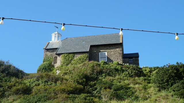
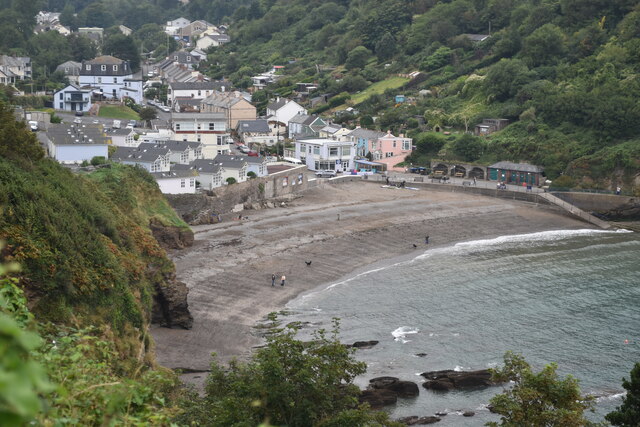
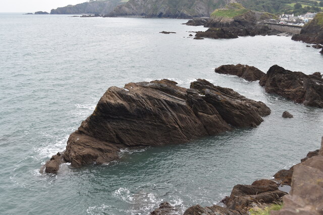
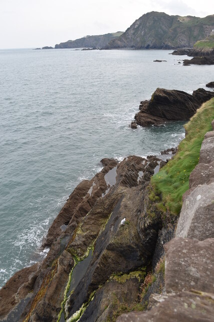
Chapel Rock is a prominent coastal feature located in Devon, England. Situated on the southern coast, it is classified as a headland or a point, jutting out into the sea. The rock formation gets its name from the small chapel that once stood atop it, but has now eroded away, leaving only remnants of its foundation.
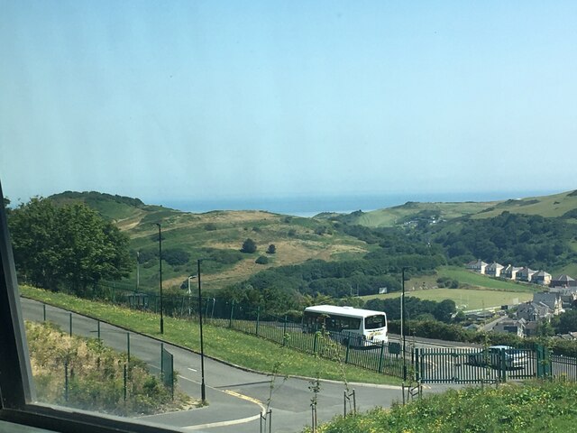
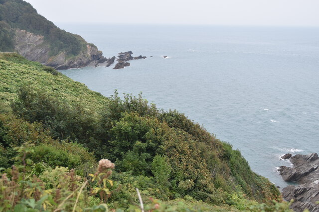
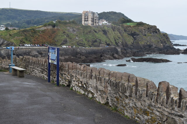
The headland is composed of rugged cliffs made of sedimentary rocks, mainly sandstone and limestone, which have been shaped by centuries of erosion from the relentless crashing waves. The cliffs rise to a height of approximately 60 meters, providing a stunning vantage point to admire the panoramic views of the surrounding coastline and the vast expanse of the Atlantic Ocean.
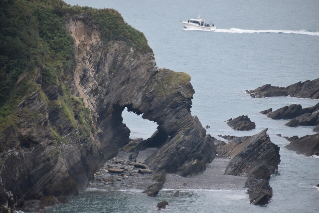
Chapel Rock is known for its unique geological features, including natural arches and sea stacks that add to its charm and allure. These features have been shaped by the powerful forces of wind and water over time. At high tide, the rock is partially submerged, creating a picturesque scene of waves crashing against its sides.
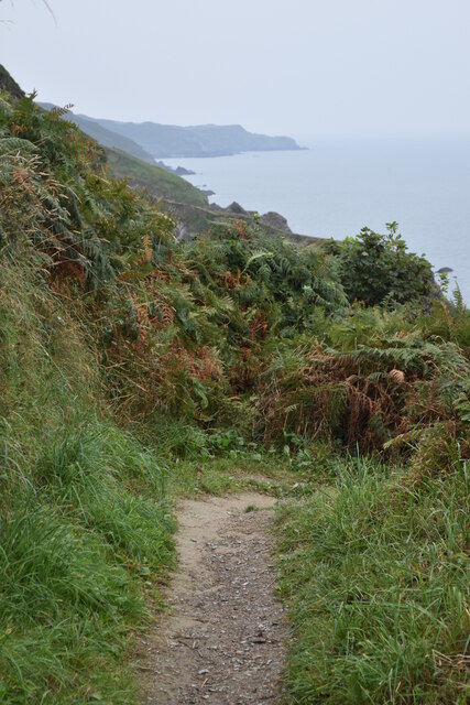
The area surrounding Chapel Rock is rich in biodiversity, with an abundance of marine life, seabirds, and wildflowers. It is a popular destination for nature lovers and hikers, who can explore the nearby coastal paths and enjoy the dramatic scenery.
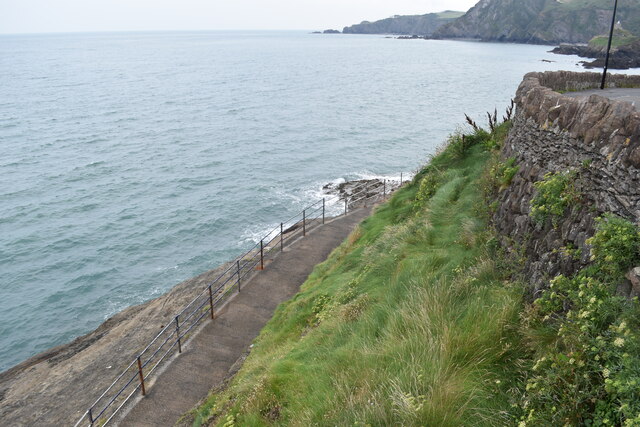
Access to Chapel Rock is relatively straightforward, with a well-maintained footpath leading visitors to the headland. However, caution is advised as the cliffs can be unstable, and visitors are urged to stay within designated areas for safety.
Overall, Chapel Rock in Devon is a captivating coastal feature that offers visitors a glimpse into the region's natural beauty and geological history.
If you have any feedback on the listing, please let us know in the comments section below.
Chapel Rock Images
Images are sourced within 2km of 51.211371/-4.1217151 or Grid Reference SS5147. Thanks to Geograph Open Source API. All images are credited.
Chapel Rock is located at Grid Ref: SS5147 (Lat: 51.211371, Lng: -4.1217151)
Administrative County: Devon
District: North Devon
Police Authority: Devon and Cornwall
What 3 Words
///digits.absorbing.printing. Near Ilfracombe, Devon
Nearby Locations
Related Wikis
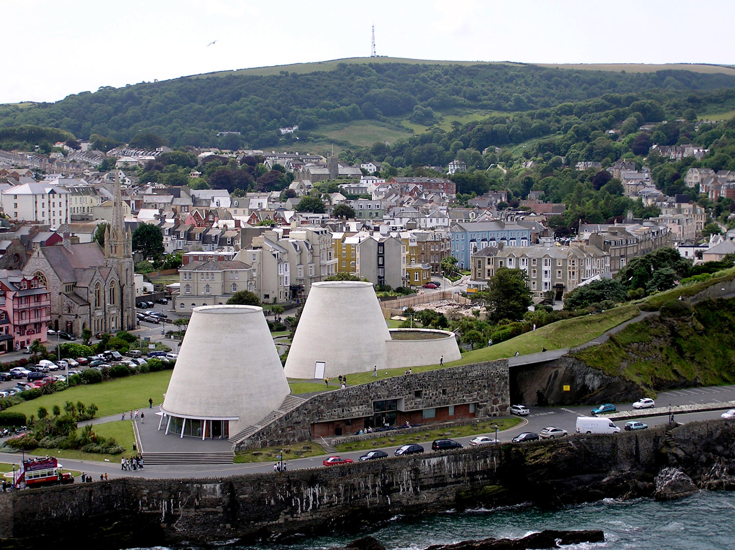
Landmark Theatre, Devon
The Landmark Theatre is a theatre in the North Devon coastal town of Ilfracombe. It has a distinctive double-conical design. It was built to replace The...

Old Town Hall, Ilfracombe
The Old Town Hall is a former municipal building in the High Street in Ilfracombe, Devon, England. The structure, which currently operates as gym, is a...
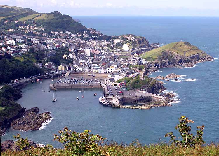
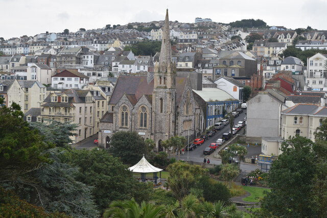
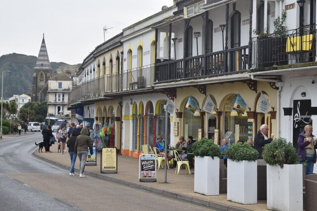
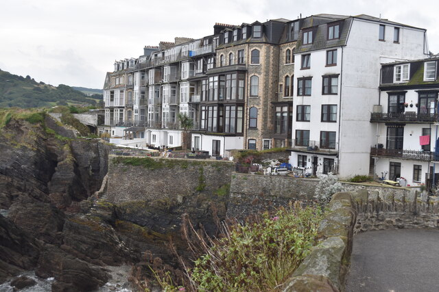
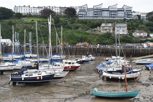
Ilfracombe
Ilfracombe ( IL-frə-koom) is a seaside resort and civil parish on the North Devon coast, England, with a small harbour surrounded by cliffs. The parish...
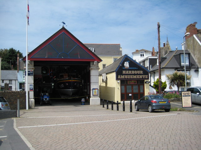
Ilfracombe Lifeboat Station
Ilfracombe Lifeboat Station is the base for Royal National Lifeboat Institution (RNLI) search and rescue operations at Ilfracombe, Devon, England. The...
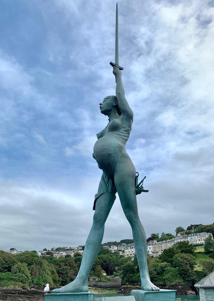
Verity (statue)
Verity is a 2012 stainless steel and bronze statue created by Damien Hirst. The 20.25-metre (66.4 ft) tall sculpture stands on the pier at the entrance...
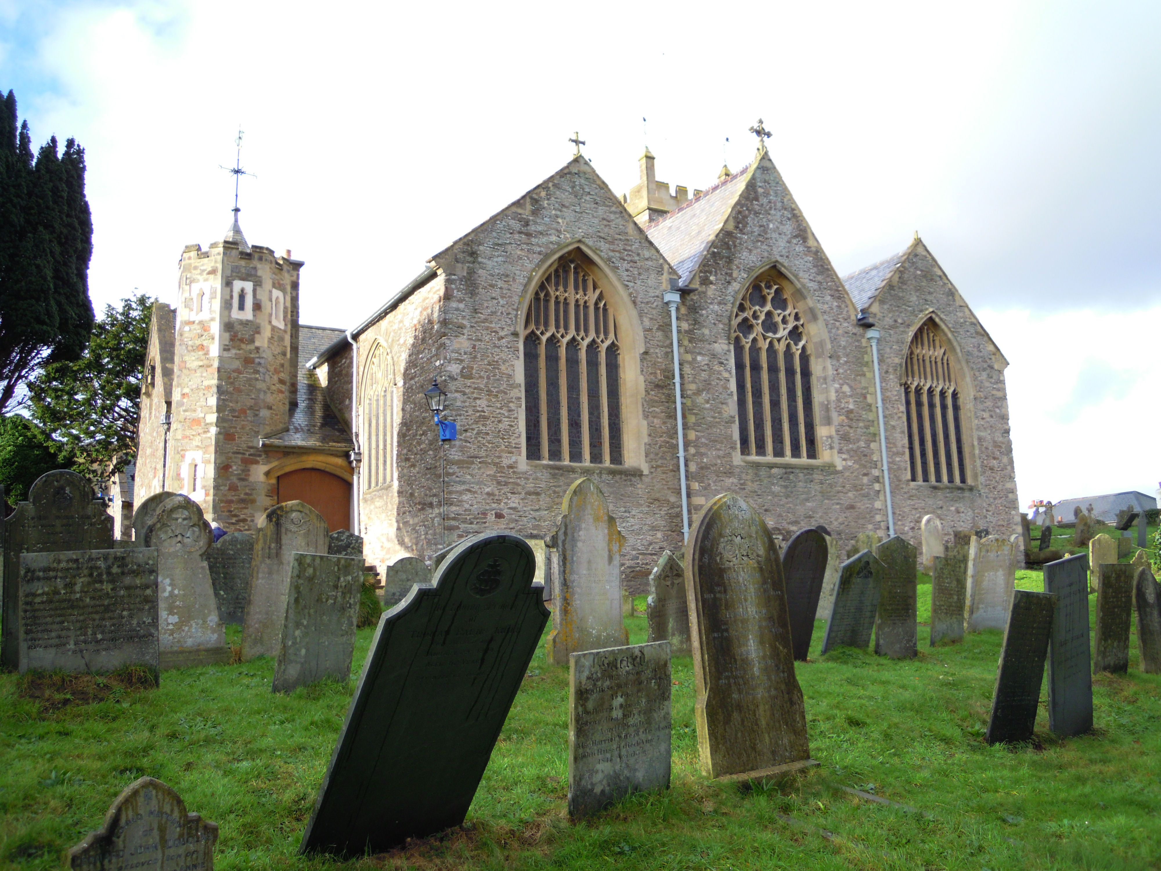
Holy Trinity Church, Ilfracombe
The Church of the Holy Trinity is the Anglican parish church for Ilfracombe in Devon. The building has been a Grade I listed building since 1951 and comes...

Chambercombe
Chambercombe is a hilly suburb in the North Devon town of Ilfracombe. == References == The geographic coordinates are from the Ordnance Survey. == External... ==

The Ilfracombe Academy
The Ilfracombe Academy is a coeducational secondary school and sixth form with academy status, located in the North Devon town of Ilfracombe, England...
Nearby Amenities
Located within 500m of 51.211371,-4.1217151Have you been to Chapel Rock?
Leave your review of Chapel Rock below (or comments, questions and feedback).