Achfrish

Settlement in Sutherland

Scotland

Achfrish

Allt Chaiseagall A large clear felled area upstream. View from Dalchork Bridge
Allt Chaiseagall Credit: Richard Webb

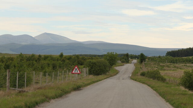
Achfrish is a small village located in the county of Sutherland, in the Highland region of Scotland. Situated on the northwestern coast, it is nestled between the towns of Durness and Kinlochbervie. The village is characterized by its stunning natural beauty and remote setting, making it a popular destination for outdoor enthusiasts and those seeking tranquility.

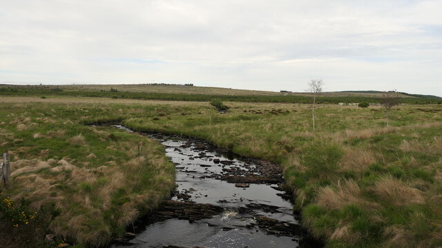
Achfrish is surrounded by picturesque landscapes, with rolling hills, rugged cliffs, and pristine beaches. The area is known for its rich biodiversity, with a variety of flora and fauna found in its diverse habitats. Visitors can enjoy activities such as hiking, fishing, birdwatching, and wildlife spotting.

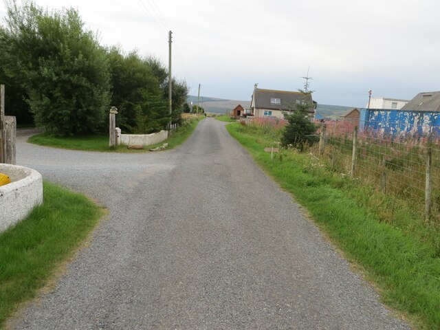
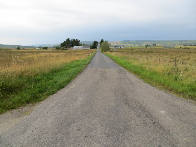
The village itself is small, with a close-knit community of residents. It has limited amenities, including a local pub and a small shop for basic supplies. The nearest services and facilities can be found in the nearby towns. However, Achfrish is a great place to disconnect from the hustle and bustle of city life and immerse oneself in the peacefulness of nature.

Historically, Achfrish has been a hub for fishing and farming, and these industries still play a role in the local economy today. The village also attracts tourists, particularly during the summer months, who come to explore the breathtaking scenery and enjoy the tranquility of this remote corner of Scotland.

In summary, Achfrish is a small village in Sutherland, Scotland, known for its stunning natural beauty, remote location, and opportunities for outdoor activities. It offers a peaceful escape for those seeking a break from urban life and a chance to connect with nature.

If you have any feedback on the listing, please let us know in the comments section below.
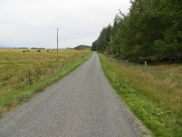
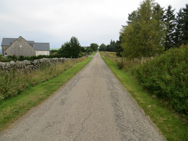
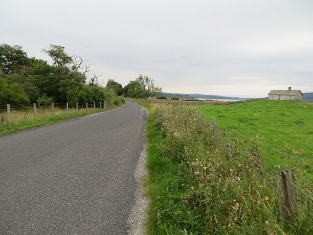
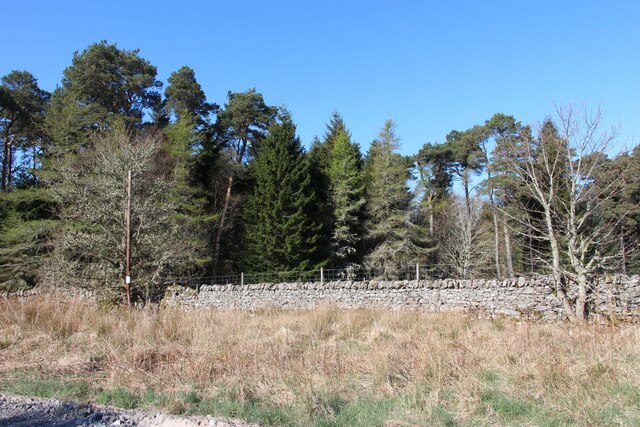
Achfrish Images

Images are sourced within 2km of 58.072009/-4.43469 or Grid Reference NC5611. Thanks to Geograph Open Source API. All images are credited.

Allt Chaiseagall A large clear felled area upstream. View from Dalchork Bridge
Allt Chaiseagall
A large clear felled area upstream. View from Dalchork Bridge
A836, Dalchork Lairg to Tongue road
A836, Dalchork
Lairg to Tongue road
Minor road near to Tirryside Looking south-westward from the entrance to Pondside Camping Site.
Minor road near to Tirryside
Looking south-westward from the entrance to Pondside Camping Site.
Minor road near to Tirryside Looking south-westward.
Minor road near to Tirryside
Looking south-westward.
Minor road between Tirryside and Achfrish Looking north-westward.
Minor road between Tirryside and Achfrish
Looking north-westward.
Minor road at Achfrish Looking north-westward.
Minor road at Achfrish
Looking north-westward.
Junction of minor roads at Woodend Cottage Looking south-westward.
Junction of minor roads at Woodend Cottage
Looking south-westward.
Fence enclosed track that passes to the west of Blairbuie Looking northward.
Fence enclosed track that passes to the west of Blairbuie
Looking northward.
Minor road heading towards Blairbuie Looking northward.
Minor road heading towards Blairbuie
Looking northward.
Minor road from Achnairn heading towards the A838 Looking south-westward.
Minor road from Achnairn heading towards the A838
Looking south-westward.
Road (A838) and woodland beside Loch Shin Looking south-eastward.
Road (A838) and woodland beside Loch Shin
Looking south-eastward.
Track through an area of felled woodland Looking north-eastward.
Track through an area of felled woodland
Looking north-eastward.
Road (A838) heading towards Colaboll Looking south-eastward. Loch Shin can be seen in the far distance.
Road (A838) heading towards Colaboll
Looking south-eastward. Loch Shin can be seen in the far distance.
River Tirry with midstream island The River Tirry with the buildings at Blarbuie as seen from the A836.
River Tirry with midstream island
The River Tirry with the buildings at Blarbuie as seen from the A836.
A small wood at Dalchork
Dalmichy, an isolated house
The A838 near Achnairn A superb road to drive on a sunny day, though one has to anticipate occasional oncoming vehicles on this largely single track road which follows the shores of Loch Shin for many miles.
The A838 near Achnairn
A superb road to drive on a sunny day, though one has to anticipate occasional oncoming vehicles on this largely single track road which follows the shores of Loch Shin for many miles.
View to the lochside The view from the road close to the Achnairn junction towards Loch Shin, where piles of logs are stacked by the shore.  The distant snow streaked mountain puzzled me for some time as separate maps made it hard to line up this feature. By my reckoning it must be Ben More Assynt, but some other contributor might have a better suggestion.
View to the lochside
The view from the road close to the Achnairn junction towards Loch Shin, where piles of logs are stacked by the shore. The distant snow streaked mountain puzzled me for some time as separate maps made it hard to line up this feature. By my reckoning it must be Ben More Assynt, but some other contributor might have a better suggestion.
Show me another place!

Achfrish is located at Grid Ref: NC5611 (Lat: 58.072009, Lng: -4.43469)

Unitary Authority: Highland

Police Authority: Highlands and Islands

What 3 Words

///blunt.grandest.unsettled. Near Lairg, Highland

Nearby Locations

Achfrish

Related Wikis

Achfrish

Achfrish is a hamlet situated towards the southeastern part of Loch Shin on the north side of the Loch in Highland, Scotland. It is also part of the wider...

Achnairn

Achnairn (Scottish Gaelic: Achadh an Fheàrna) is a village in the Scottish council area of Highland, situated on the east side of Loch Shin. == References ==

Saval

Saval (Scottish Gaelic: Sàbhal) is a small remote hamlet, surrounded by Dalchork Wood, 1.5 miles northeast of the village of Lairg, in Sutherland, Scottish...

Lairg

Lairg (Scottish Gaelic: An Luirg, meaning "the shank/shin") is a village and parish in Sutherland, Scotland. It has a population of 891 and is at the south...

Nearby Amenities

Located within 500m of 58.072009,-4.43469
Power: pole
Lat/Long: 58.0747707/-4.4413929
Power: pole
Lat/Long: 58.0742972/-4.4406259
Power: pole
Lat/Long: 58.0734499/-4.4392788
Power: pole
Lat/Long: 58.0730021/-4.4385741
Power: pole
Lat/Long: 58.0725007/-4.437774
Power: pole
Lat/Long: 58.0720868/-4.4370984
Power: pole
Lat/Long: 58.0715597/-4.4362886
Power: pole
Lat/Long: 58.0709996/-4.4356209
Power: pole
Lat/Long: 58.0705239/-4.4346456
Power: pole
Lat/Long: 58.0700926/-4.433752
Power: pole
Lat/Long: 58.0696261/-4.4328312
Power: pole
Lat/Long: 58.0691906/-4.4319357
Power: pole
Lat/Long: 58.0687479/-4.4310305
Power: pole
Lat/Long: 58.068266/-4.4301175
Achfrish
Place: hamlet
Lat/Long: 58.0750056/-4.4408278
The data included in this document is from www.openstreetmap.org. The data is made available under ODbL.

Have you been to Achfrish?

Leave your review of Achfrish below (or comments, questions and feedback).