Cock Rock
Coastal Feature, Headland, Point in Devon North Devon
England
Cock Rock
The requested URL returned error: 429 Too Many Requests
If you have any feedback on the listing, please let us know in the comments section below.
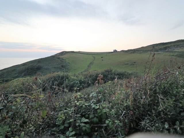
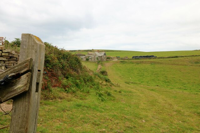
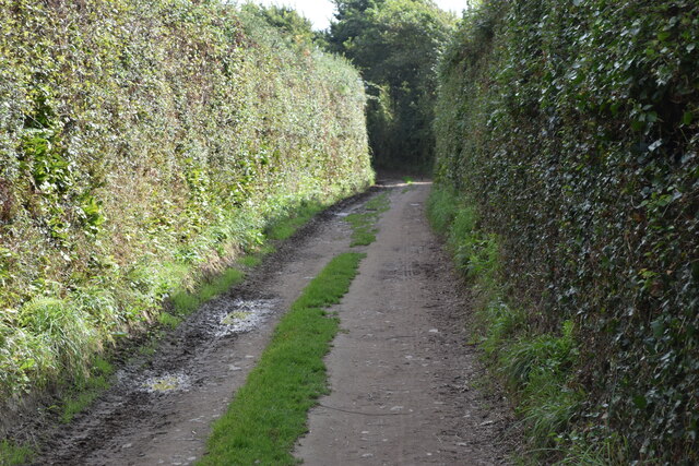
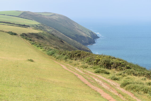
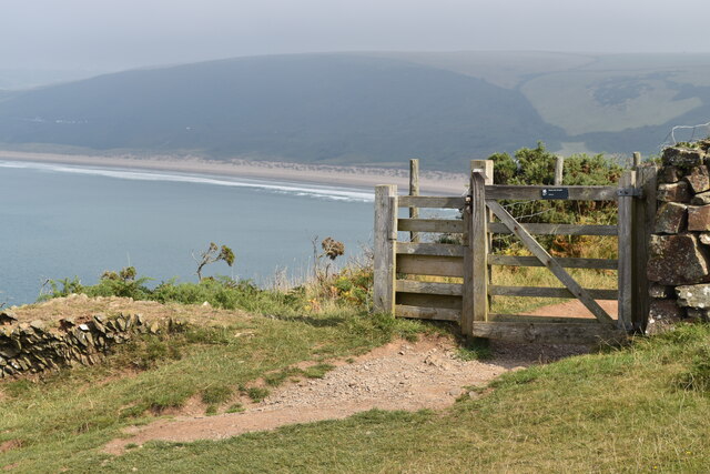
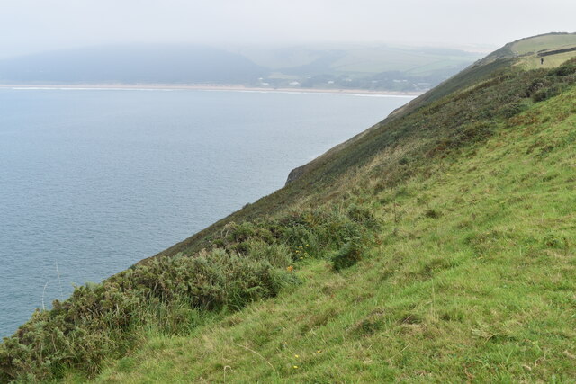
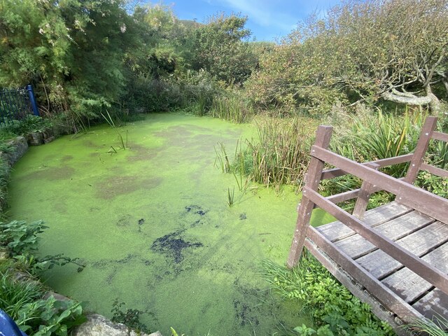
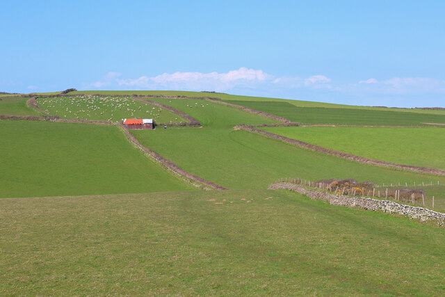
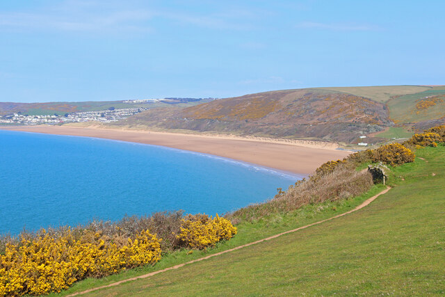
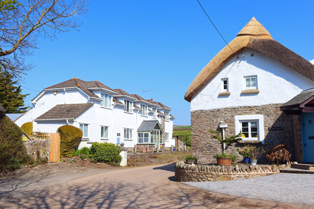
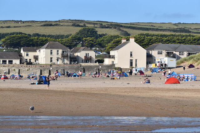
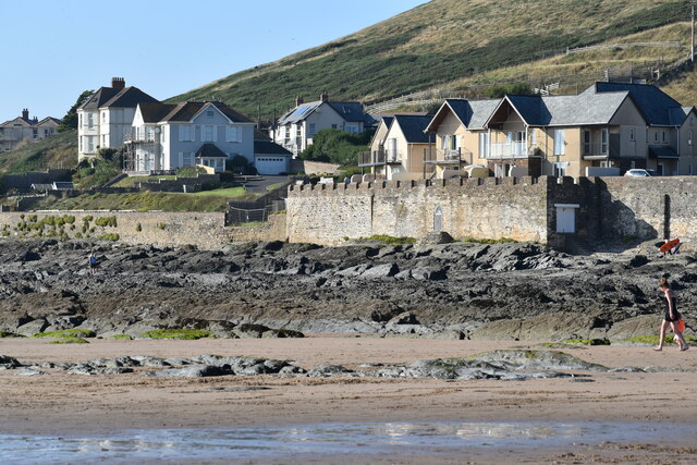
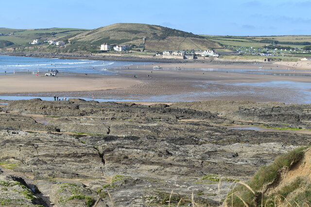
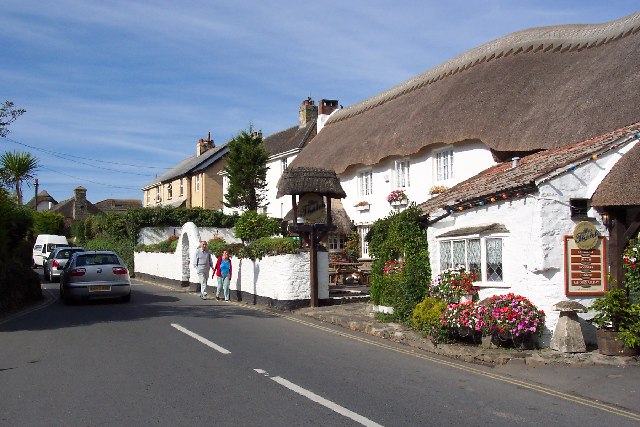
Cock Rock Images
Images are sourced within 2km of 51.12987/-4.2385655 or Grid Reference SS4339. Thanks to Geograph Open Source API. All images are credited.


Cock Rock is located at Grid Ref: SS4339 (Lat: 51.12987, Lng: -4.2385655)
Administrative County: Devon
District: North Devon
Police Authority: Devon and Cornwall
What 3 Words
///loose.explain.glossed. Near Braunton, Devon
Nearby Locations
Related Wikis

Baggy Point
Baggy Point is a headland in north Devon, England. It separates Croyde Bay and Morte Bay which includes the beaches of Woolacombe and Putsborough. There...
Croyde
Croyde is a village on the west-facing coastline of North Devon, England. The village lies on the South West Coast Path near to Baggy Point, which is owned...

Putsborough
Putsborough is a hamlet in Georgeham Civil Parish on the west-facing coast of North Devon, England. It is about 3⁄4 mile (1.2 km) north of the village...
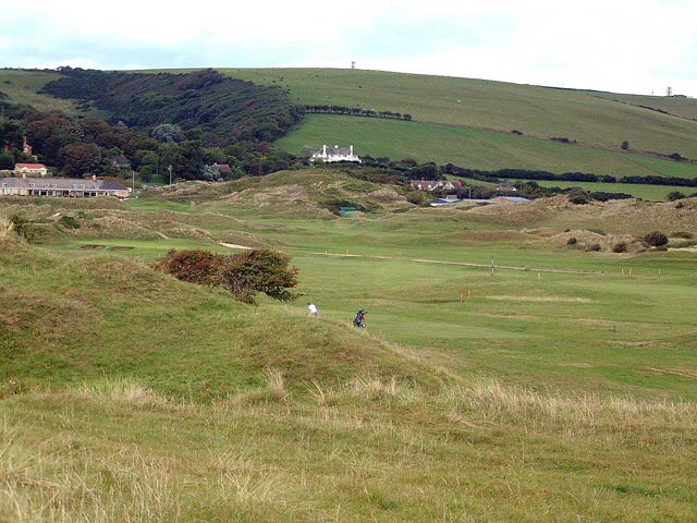
Saunton Golf Club
Saunton Golf Club is a private golf club in England, that is located about 2 miles (3 km) to the west of Braunton, Devon. It was founded in 1897. During...
Nearby Amenities
Located within 500m of 51.12987,-4.2385655Have you been to Cock Rock?
Leave your review of Cock Rock below (or comments, questions and feedback).