Black Rock
Coastal Feature, Headland, Point in Cornwall
England
Black Rock
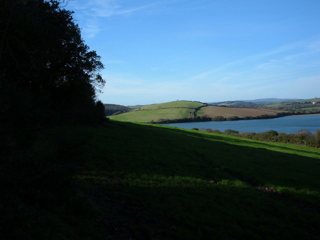
Black Rock is a prominent coastal feature located in Cornwall, England. Situated on the southwestern tip of the county, it is a headland that juts out into the Atlantic Ocean. The black-colored rocks that give the feature its name are a distinctive characteristic of the area.
The headland is composed of rugged cliffs that tower above the crashing waves below. These cliffs are made up of a variety of rocks, including slate and granite, which have been eroded over time by the relentless power of the sea. This erosion has created numerous caves and crevices along the coastline, adding to the area's dramatic beauty.
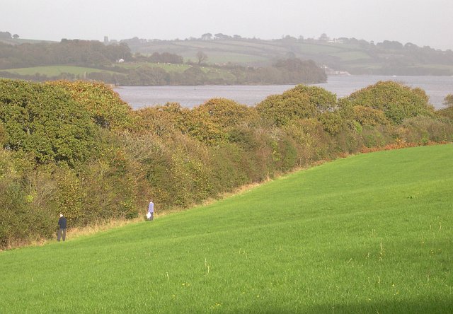
Black Rock offers breathtaking panoramic views of the surrounding coastline and the vast expanse of the Atlantic Ocean. On clear days, visitors can see as far as Land's End, another famous landmark in Cornwall. The headland is also a popular spot for birdwatching, with a variety of seabirds nesting on the cliffs and soaring above the waves.
The area surrounding Black Rock is rich in biodiversity, with a diverse range of plant and animal species. The rugged terrain provides a natural habitat for various coastal plants, including sea thrift and sea campion. Seals and dolphins are often spotted in the waters off the headland, adding to the appeal for wildlife enthusiasts.
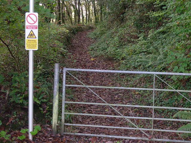
Black Rock is a popular destination for hikers and nature lovers, who can explore the coastal footpaths that wind their way around the headland. The area also offers opportunities for rock climbing and fishing, attracting outdoor enthusiasts from near and far.
In summary, Black Rock is a stunning headland on the coast of Cornwall, known for its rugged cliffs, black-colored rocks, and breathtaking views. It is a haven for wildlife and a favorite destination for outdoor activities, providing visitors with a memorable and immersive experience of Cornwall's natural beauty.
If you have any feedback on the listing, please let us know in the comments section below.
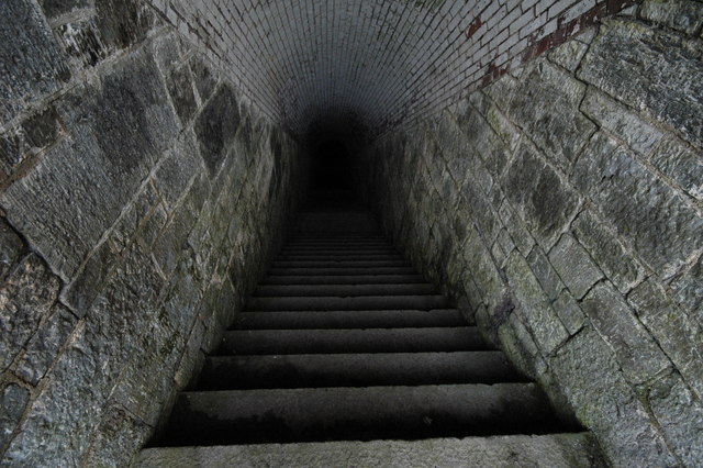
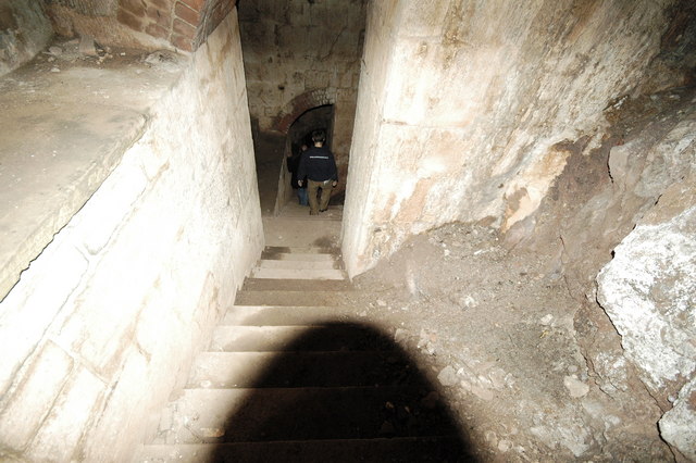
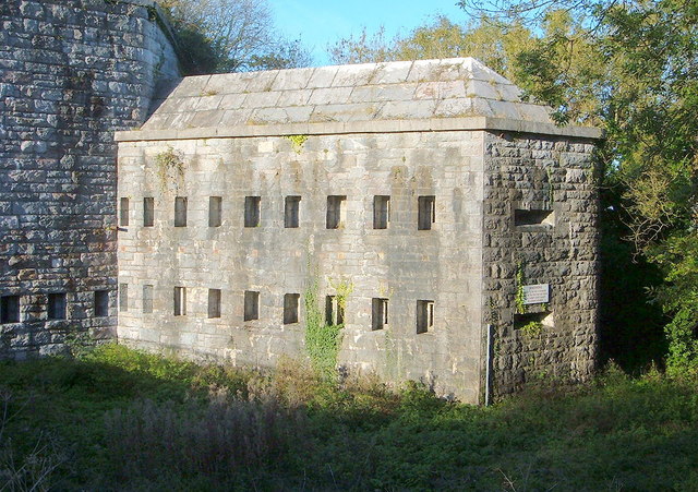
Black Rock Images
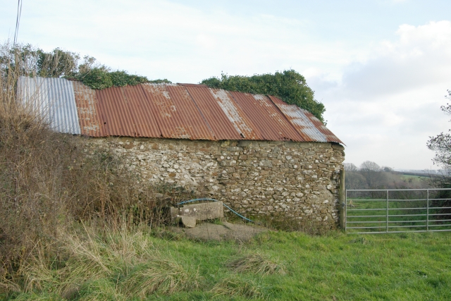
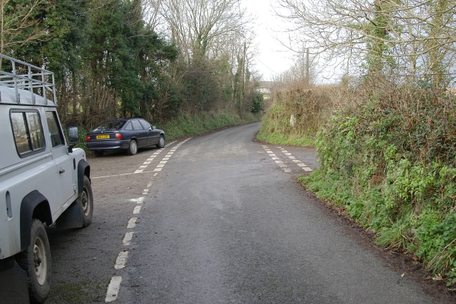
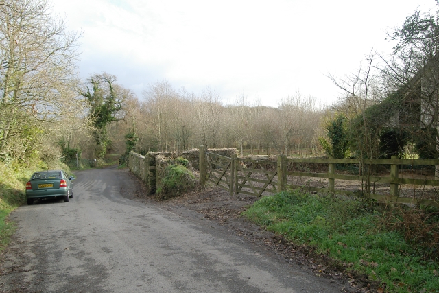
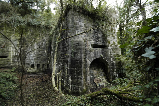
Images are sourced within 2km of 50.383494/-4.2554378 or Grid Reference SX3956. Thanks to Geograph Open Source API. All images are credited.


Black Rock is located at Grid Ref: SX3956 (Lat: 50.383494, Lng: -4.2554378)
Unitary Authority: Cornwall
Police Authority: Devon and Cornwall
What 3 Words
///innovator.penny.ducks. Near Saltash, Cornwall
Nearby Locations
Related Wikis
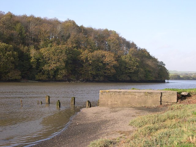
River Lynher
The River Lynher (Cornish: Linar) (or St Germans River downstream from its confluence with the Tiddy) flows through east Cornwall, England, and enters...

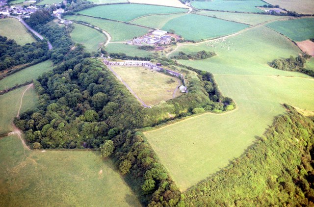
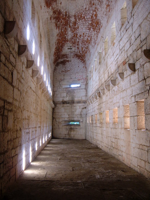
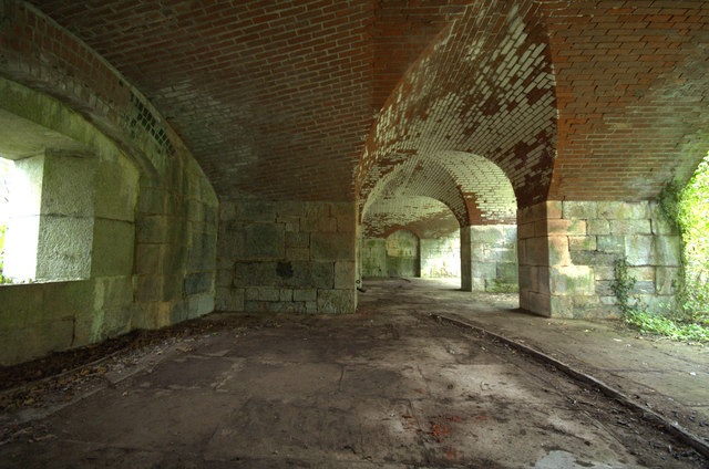
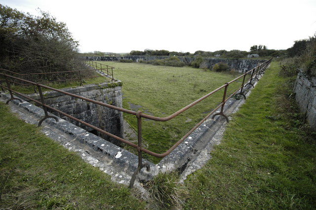
Scraesdon Fort
Scraesdon Fort, near the village of Antony, is one of several forts in South East Cornwall which formed part of the ring of forts surrounding Plymouth...

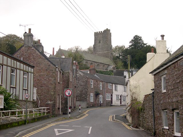
Antony, Cornwall
Antony (Cornish: Trevanta) is a coastal civil parish and a village in Cornwall, England, United Kingdom. The village is situated on the Rame Peninsula...

A374 road
The A374 is a main road in the United Kingdom, one of six A-roads making the border crossing between Devon and Cornwall. It is the most southerly of the...
Nearby Amenities
Located within 500m of 50.383494,-4.2554378Have you been to Black Rock?
Leave your review of Black Rock below (or comments, questions and feedback).