Bryn Cyn

Coastal Feature, Headland, Point in Anglesey

Wales

Bryn Cyn

Porth Melin Ifan Owen Sand dunes and sand on the southern edge of Newborough Warren and Ynys Llanddwyn National Nature Reserve.
Porth Melin Ifan Owen Credit: Rebecca A Wills

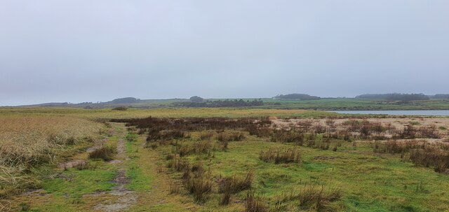
Bryn Cyn is a stunning coastal feature located on the island of Anglesey, off the northwest coast of Wales. It is a prominent headland that juts out into the Irish Sea, forming a picturesque point that offers breathtaking views of the surrounding area.

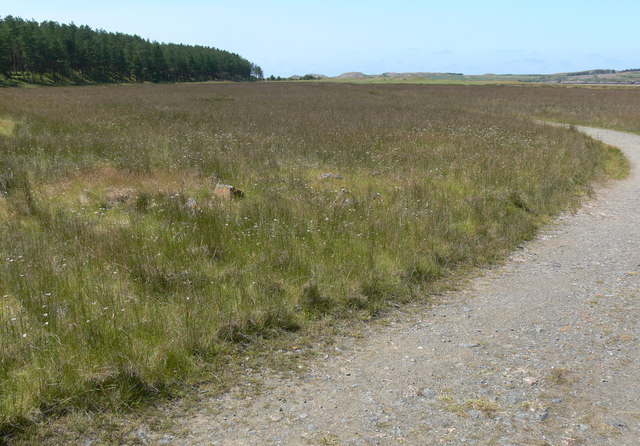
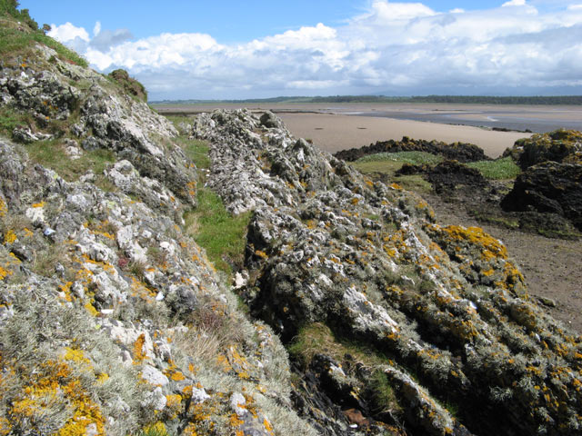
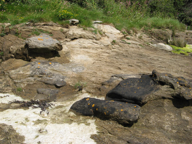
Situated on the western coast of Anglesey, Bryn Cyn is characterized by its rugged cliffs, which tower above the sea below. The cliffs are composed of a variety of rock types, including limestone and sandstone, creating a diverse and visually striking landscape. The headland is also adorned with lush vegetation, including grasses and wildflowers, adding to its natural beauty.

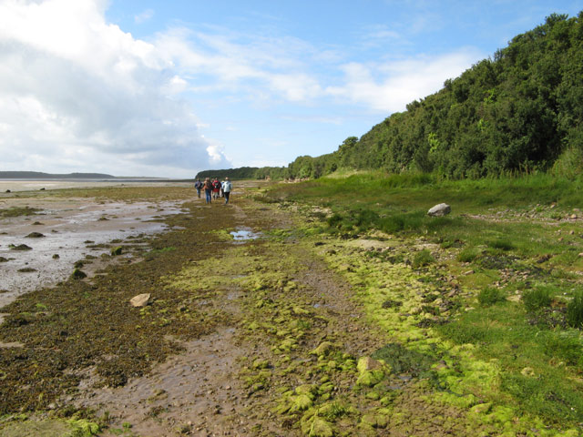
The coast around Bryn Cyn is renowned for its dramatic tidal changes, as the sea ebbs and flows, revealing hidden rock pools and sandy coves during low tide. This makes it a popular spot for beachcombing, exploring marine life, and observing a variety of coastal birds.

In addition to its natural wonders, Bryn Cyn is also home to a historic lighthouse that has been guiding ships safely along the coast for over a century. The lighthouse, perched on the edge of the headland, serves as a striking landmark and adds to the charm of the area.

Overall, Bryn Cyn is a captivating coastal feature that offers a combination of stunning cliffs, diverse marine life, and a rich history. Whether visitors are seeking a peaceful walk along the cliffs, a chance to explore the tidal pools, or simply want to take in the awe-inspiring views, Bryn Cyn is a must-visit location on Anglesey.

If you have any feedback on the listing, please let us know in the comments section below.
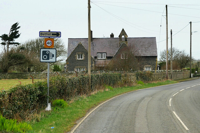
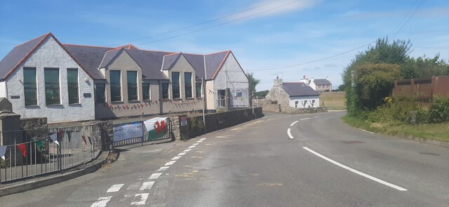
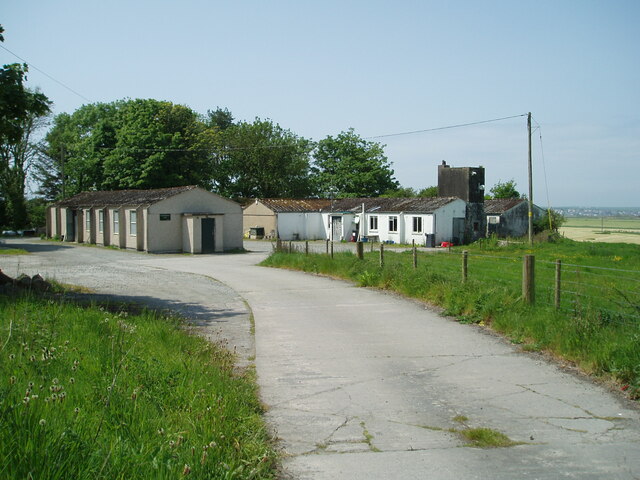
Bryn Cyn Images

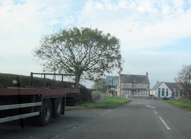
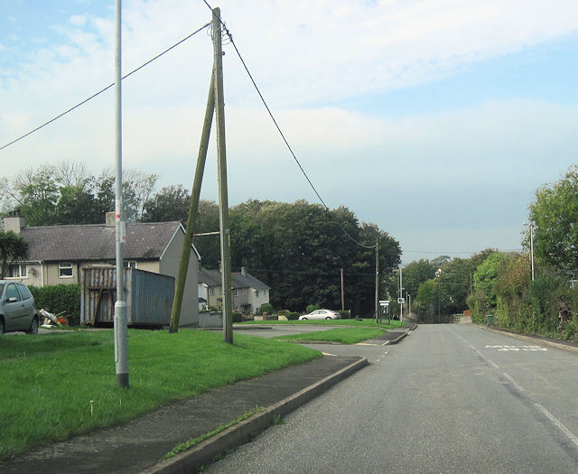
Images are sourced within 2km of 53.181928/-4.4061471 or Grid Reference SH3967. Thanks to Geograph Open Source API. All images are credited.

Porth Melin Ifan Owen Sand dunes and sand on the southern edge of Newborough Warren and Ynys Llanddwyn National Nature Reserve.
Porth Melin Ifan Owen
Sand dunes and sand on the southern edge of Newborough Warren and Ynys Llanddwyn National Nature Reserve.
Malltraeth Sands Looking from the sand dunes of Malltraeth Sands towards Newborough Forest.
Malltraeth Sands
Looking from the sand dunes of Malltraeth Sands towards Newborough Forest.
A4080, west of Malltreath The A4080 road runs for 24½ miles along the southwestern side of Anglesey. It starts on the A5 at Llanfair Pwllgwyngyll and passes through several villages before terminating on the A5 between Bryngwran and Gwalchmai.
A4080, west of Malltreath
The A4080 road runs for 24½ miles along the southwestern side of Anglesey. It starts on the A5 at Llanfair Pwllgwyngyll and passes through several villages before terminating on the A5 between Bryngwran and Gwalchmai.
Hermon Hermon is a village on the island of Anglesey. It is located on the A4080 road, roughly halfway between Newborough and Aberffraw, some 6 miles to the southwest of Llangefni.
Hermon
Hermon is a village on the island of Anglesey. It is located on the A4080 road, roughly halfway between Newborough and Aberffraw, some 6 miles to the southwest of Llangefni.
A4080, Hermon Hermon is a village on the island of Anglesey. It is located on the A4080 road, roughly halfway between Newborough and Aberffraw, some 6 miles to the southwest of Llangefni.
A4080, Hermon
Hermon is a village on the island of Anglesey. It is located on the A4080 road, roughly halfway between Newborough and Aberffraw, some 6 miles to the southwest of Llangefni.
Llangadwaladr, The Old School Opened on 17th February 1873; one of a number of similar schools built during the nineteenth century prominently sited to form one of the focal points of the village landscape. The school was closed by 1904 and subsequently converted for domestic use. It is a Grade II listed building (Cadw reference 20407 <span class="nowrap"><a title="http://cadwpublic-api.azurewebsites.net/reports/listedbuilding/FullReport?lang=en&id=20407" rel="nofollow ugc noopener" href="http://cadwpublic-api.azurewebsites.net/reports/listedbuilding/FullReport?lang=en&id=20407">Link</a><img style="margin-left:2px;" alt="External link" title="External link - shift click to open in new window" src="https://s1.geograph.org.uk/img/external.png" width="10" height="10"/></span> ).
Llangadwaladr, The Old School
Opened on 17th February 1873; one of a number of similar schools built during the nineteenth century prominently sited to form one of the focal points of the village landscape. The school was closed by 1904 and subsequently converted for domestic use. It is a Grade II listed building (Cadw reference 20407 LinkExternal link ).
The edge of Newborough Forest at Cefni Saltmarsh
Ysgol Bodorgan
Ysgol Bodorgan
Former Military Buildings Associated With RAF Bodorgan
Salt Marsh near Malltraeth Sands The path is leading out of the Newborough Forest.
Salt Marsh near Malltraeth Sands
The path is leading out of the Newborough Forest.
Salt Marsh near Malltraeth Sands On the left is Newborough Forest, and in the distance are the sand dunes at Traeth Penrhos.
Salt Marsh near Malltraeth Sands
On the left is Newborough Forest, and in the distance are the sand dunes at Traeth Penrhos.
Marshland near Malltraeth Sands
Path to Traeth Penrhos
A4080 approaching junction with B4422 Near Ty Mawr
A4080 approaching junction with B4422
Near Ty Mawr
A4080 through Hermon westwards Phone box can be seen on the left beyond the turning
A4080 through Hermon westwards
Phone box can be seen on the left beyond the turning
Sediments ancient and modern Looking over an outcrop of the Gwna Melange, a metamorphosed sedimentary rock of Cambrian age to the contemporary sediments of the Malltraeth Sands. The Afon Cefni channel can be seen in the middle distance, at approximately low tide. The sea-washed rock outcrop has a thick growth of lichens.
Sediments ancient and modern
Looking over an outcrop of the Gwna Melange, a metamorphosed sedimentary rock of Cambrian age to the contemporary sediments of the Malltraeth Sands. The Afon Cefni channel can be seen in the middle distance, at approximately low tide. The sea-washed rock outcrop has a thick growth of lichens.
Tideline walkers A party of geologists walking along the Malltraeth shore on an organised excursion.
Tideline walkers
A party of geologists walking along the Malltraeth shore on an organised excursion.
Concretions in sandstone Variable cementing of the sandstone, Carboniferous in age, by carbonates has resulted in irregular weathering and the appearance of large, dark-coloured nodules on the eroded surfaces. The presence of bedding planes passing straight through some nodules is indicative of the structure being secondary in nature. The dark colour is largely due to the slow ablation of the surface compared to less heavily-cemented areas, and the surface is stable enough to be colonised by lichens (yellow Caloplaca is prominent).
Concretions in sandstone
Variable cementing of the sandstone, Carboniferous in age, by carbonates has resulted in irregular weathering and the appearance of large, dark-coloured nodules on the eroded surfaces. The presence of bedding planes passing straight through some nodules is indicative of the structure being secondary in nature. The dark colour is largely due to the slow ablation of the surface compared to less heavily-cemented areas, and the surface is stable enough to be colonised by lichens (yellow Caloplaca is prominent).
Show me another place!

Bryn Cyn is located at Grid Ref: SH3967 (Lat: 53.181928, Lng: -4.4061471)

Unitary Authority: Isle of Anglesey

Police Authority: North Wales

What 3 Words

///choppers.century.rested. Near Rhosneigr, Isle of Anglesey

Related Wikis

Bodorgan

Bodorgan is a village and community on the Isle of Anglesey, Wales, United Kingdom. According to the 2001 Census, there were 1,503 residents in the now...

Afon Cefni

Afon Cefni is one of the major rivers on the island of Anglesey, Wales. It is 16.9 kilometres (11 mi) long. Its source is near to the village of Capel...
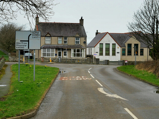
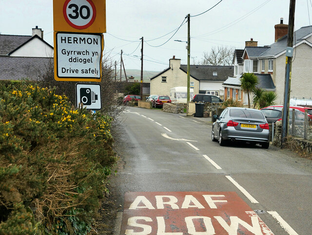
Hermon, Anglesey

Hermon is a village in Anglesey, in north-west Wales. It is located roughly halfway between Newborough and Aberffraw, some 6 miles south-west of Llangefni...

RAF Bodorgan

Royal Air Force Bodorgan, or more simply RAF Bodorgan, is a former Royal Air Force satellite airfield located near to Bodorgan Hall on the Isle of Anglesey...

Nearby Amenities

Located within 500m of 53.181928,-4.4061471
Source: PGS
Lat/Long: 53.178639/-4.4104731
Source: PGS
Lat/Long: 53.1786921/-4.409986
Source: PGS
Lat/Long: 53.1785783/-4.4093115
Source: PGS
Lat/Long: 53.1786091/-4.408866
Source: PGS
Lat/Long: 53.1788554/-4.4079885
Source: PGS
Lat/Long: 53.1793913/-4.4071331
Source: PGS
Lat/Long: 53.1796212/-4.406484
Source: PGS
Lat/Long: 53.1798197/-4.4062543
Source: PGS
Lat/Long: 53.1799857/-4.4057666
Source: PGS
Lat/Long: 53.1799975/-4.4052334
Source: PGS
Lat/Long: 53.1802704/-4.4042462
Source: PGS
Lat/Long: 53.1806461/-4.4040099
Source: PGS
Lat/Long: 53.1819004/-4.4019474
Source: PGS
Lat/Long: 53.1826748/-4.4015867
Source: PGS
Lat/Long: 53.1829218/-4.4014602
Source: PGS
Lat/Long: 53.183815/-4.4008542
Source: PGS
Lat/Long: 53.183371/-4.4013188
Source: PGS
Lat/Long: 53.1814112/-4.4019418
Source: PGS
Lat/Long: 53.1809887/-4.402705
The data included in this document is from www.openstreetmap.org. The data is made available under ODbL.

Have you been to Bryn Cyn?

Leave your review of Bryn Cyn below (or comments, questions and feedback).