Carreg yr Imbill
Coastal Feature, Headland, Point in Caernarfonshire
Wales
Carreg yr Imbill
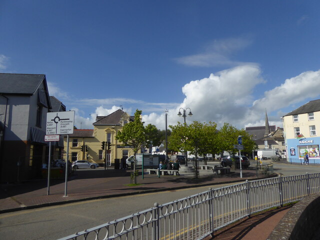
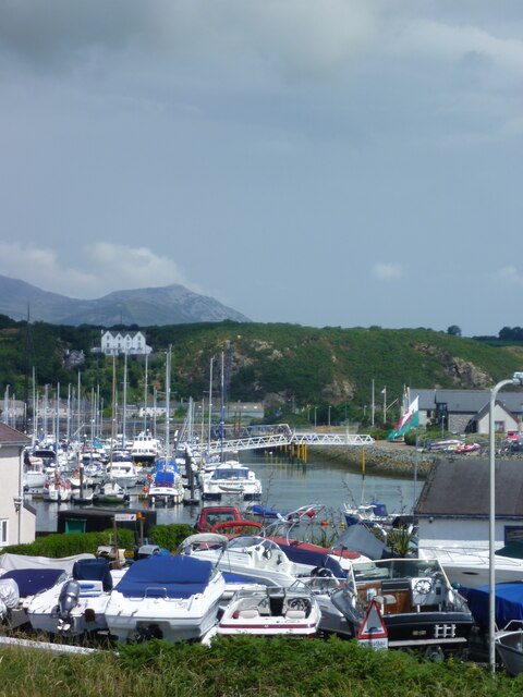
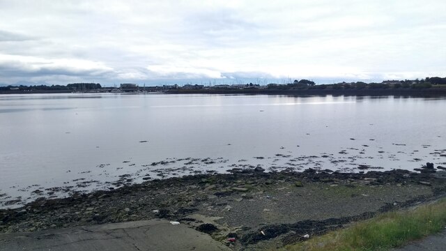
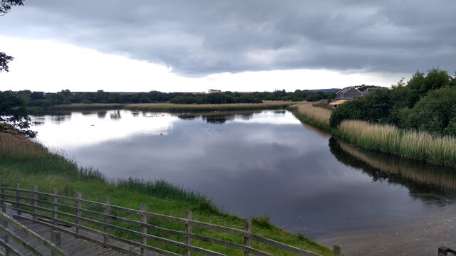
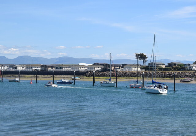
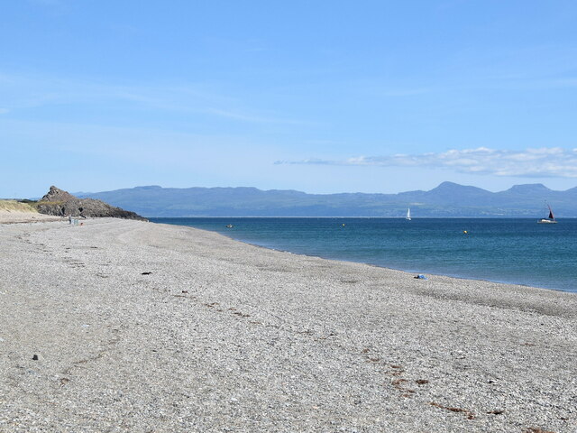
Carreg yr Imbill is a prominent coastal feature located in Caernarfonshire, Wales. It is a headland or point that extends out into the Irish Sea, offering stunning panoramic views and acting as a natural boundary between the land and the sea.
The headland is characterized by its rugged and rocky terrain, with towering cliffs that provide a dramatic backdrop against the crashing waves below. Its name, Carreg yr Imbill, translates to "Rock of the Embers" in English, potentially alluding to the fiery sunsets that can be witnessed from this vantage point.
The headland is known for its rich biodiversity and is home to a variety of plant and animal species. The cliffs provide nesting sites for seabirds such as puffins, razorbills, and kittiwakes, making it a popular spot for birdwatchers. The surrounding waters are also teeming with marine life, including seals and dolphins, which can often be spotted swimming in the sea.
Carreg yr Imbill is a popular destination for outdoor enthusiasts and nature lovers. Visitors can enjoy scenic walks along the coastal paths, taking in the breathtaking views and immersing themselves in the tranquil atmosphere. The headland is also a favorite spot for photographers, who come to capture the beauty of the rugged landscape and the ever-changing moods of the sea.
In conclusion, Carreg yr Imbill is a picturesque headland in Caernarfonshire, offering breathtaking views, rich biodiversity, and a tranquil escape for those seeking to connect with nature.
If you have any feedback on the listing, please let us know in the comments section below.
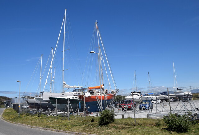
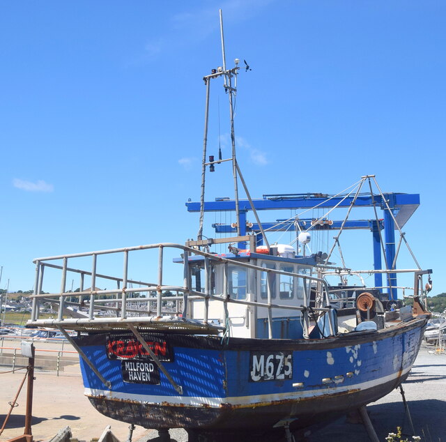
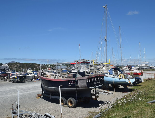
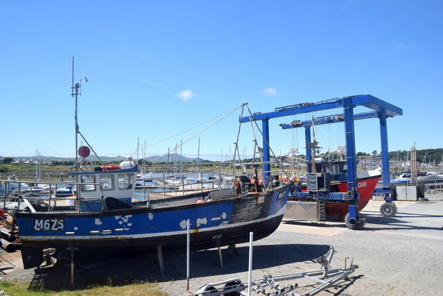
Carreg yr Imbill Images
Images are sourced within 2km of 52.881705/-4.3996204 or Grid Reference SH3834. Thanks to Geograph Open Source API. All images are credited.


Carreg yr Imbill is located at Grid Ref: SH3834 (Lat: 52.881705, Lng: -4.3996204)
Unitary Authority: Gwynedd
Police Authority: North Wales
What 3 Words
///case.dine.warthog. Near Pwllheli, Gwynedd
Nearby Locations
Related Wikis

Carreg yr Imbill
Carreg yr Imbill is the remains of a large dolerite with pegmatite pods and quarry at Pwllheli, Gwynedd, Wales. The dolerite was mined by the Liverpool...

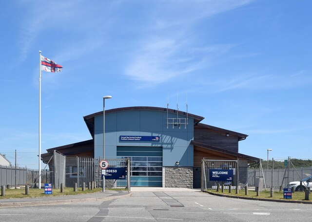
Pwllheli Lifeboat Station
Pwllheli Lifeboat Station (based in Pwllheli, Gwynedd, Wales) was first established by the Royal National Lifeboat Institution (RNLI) in 1891 at a cost...

Afon Erch
The Afon Erch is a short river on the Llŷn peninsula, Gwynedd, Wales. It arises near the village of Llanaelhaearn, flowing south and southwest towards...
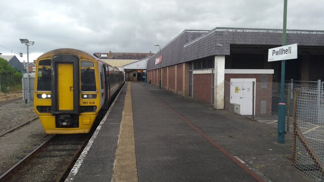
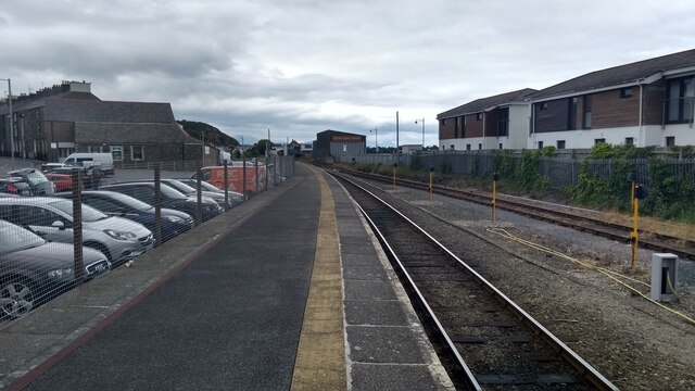
Pwllheli railway station
Pwllheli railway station serves the small coastal town of Pwllheli, on the Llŷn Peninsula in Gwynedd, Wales. It is the northern terminus of the Cambrian...

Pwllheli
Pwllheli (Welsh: [pʊɬˈhɛli] ; ) is a market town and community of the Llŷn Peninsula (Welsh: Penrhyn Llŷn), north-western Wales. It lies in the traditional...

Neuadd Dwyfor
Pwllheli Town Hall (Welsh: Neuadd Dwyfor) is a municipal building in Penlan Street, Pwllheli, Gwynedd, Wales. The structure, which now operates as an arts...

Capel Salem, Pwllheli
Capel Salem is a Grade II listed former chapel in Pwllheli, Gwynedd, Wales. It was originally built in 1862 for the Calvinistic Methodists, to the designs...

Pwllheli South
Pwllheli South (Welsh: De Pwllheli) is one of the electoral wards in the town of Pwllheli, on the coast of the Llŷn Peninsula in Gwynedd, Wales. It elects...
Nearby Amenities
Located within 500m of 52.881705,-4.3996204Have you been to Carreg yr Imbill?
Leave your review of Carreg yr Imbill below (or comments, questions and feedback).