Pîg y Barcud
Coastal Feature, Headland, Point in Anglesey
Wales
Pîg y Barcud

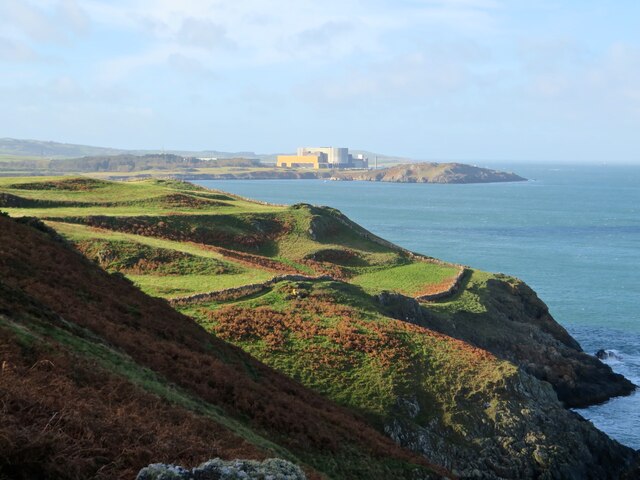
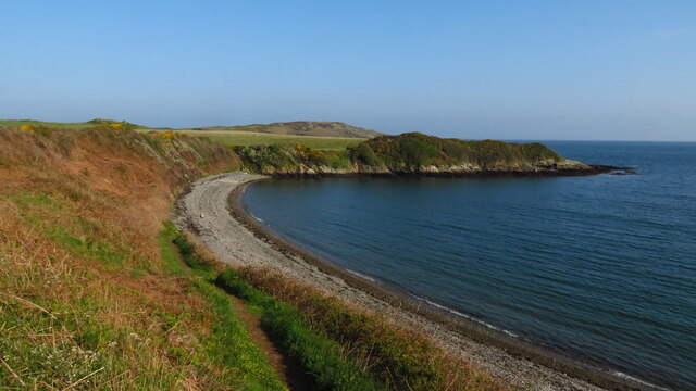
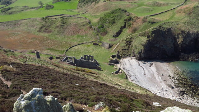
Pîg y Barcud is a prominent headland located on the island of Anglesey in North Wales, United Kingdom. Situated along the western coast of the island, this coastal feature offers breathtaking views of the Irish Sea and the surrounding landscape.
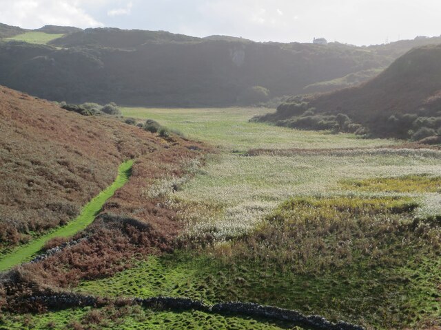
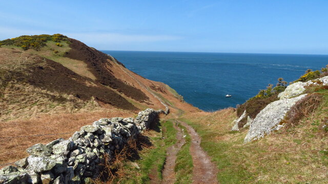
With its rocky cliffs and rugged terrain, Pîg y Barcud stands as a striking natural formation that has attracted visitors and locals alike for centuries. The headland is characterized by its steep slopes and jagged edges, which have been shaped by the relentless power of the sea over time.
The name Pîg y Barcud translates to "Peak of the Kite" in English, referencing the abundance of red kites that can be seen soaring above the headland. These magnificent birds of prey add to the allure and natural beauty of the area, making it a popular spot for birdwatching enthusiasts.
In addition to its stunning coastal views and rich wildlife, Pîg y Barcud also offers opportunities for outdoor activities such as hiking and photography. The headland is part of a larger nature reserve, providing a protected habitat for various plant and animal species.
Visitors to Pîg y Barcud can explore the headland's walking trails, which wind through heathland and offer panoramic vistas of the surrounding coastline. The area is also home to a variety of wildflowers, including rare species such as the Anglesey fumitory.
Overall, Pîg y Barcud is a captivating coastal feature that showcases the natural beauty and wildlife of Anglesey. Its rugged cliffs, diverse flora and fauna, and breathtaking views make it a must-visit destination for nature lovers and outdoor enthusiasts.
If you have any feedback on the listing, please let us know in the comments section below.
Pîg y Barcud Images
Images are sourced within 2km of 53.416331/-4.4490594 or Grid Reference SH3793. Thanks to Geograph Open Source API. All images are credited.

Pîg y Barcud is located at Grid Ref: SH3793 (Lat: 53.416331, Lng: -4.4490594)
Unitary Authority: Isle of Anglesey
Police Authority: North Wales
What 3 Words
///royal.twinkled.afford. Near Cemaes Bay, Isle of Anglesey
Nearby Locations
Related Wikis
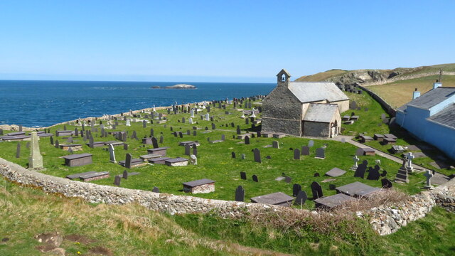
Llanbadrig
Llanbadrig is a village and community (and former electoral ward) in Anglesey, Wales. The parish includes the township of Clygyrog, Tregynrig and the port...

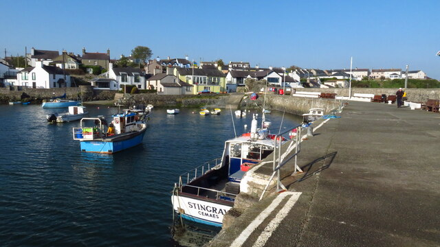
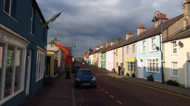
Cemaes
Cemaes () is a village on the north coast of Anglesey in Wales, sited on Cemaes Bay, an Area of Outstanding Natural Beauty which is partly owned by the...

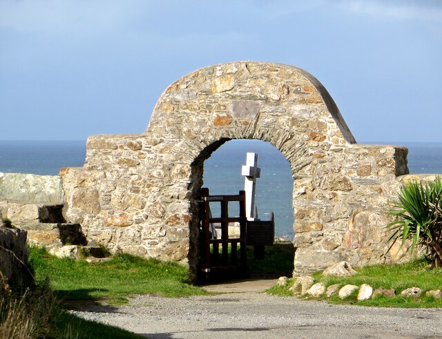
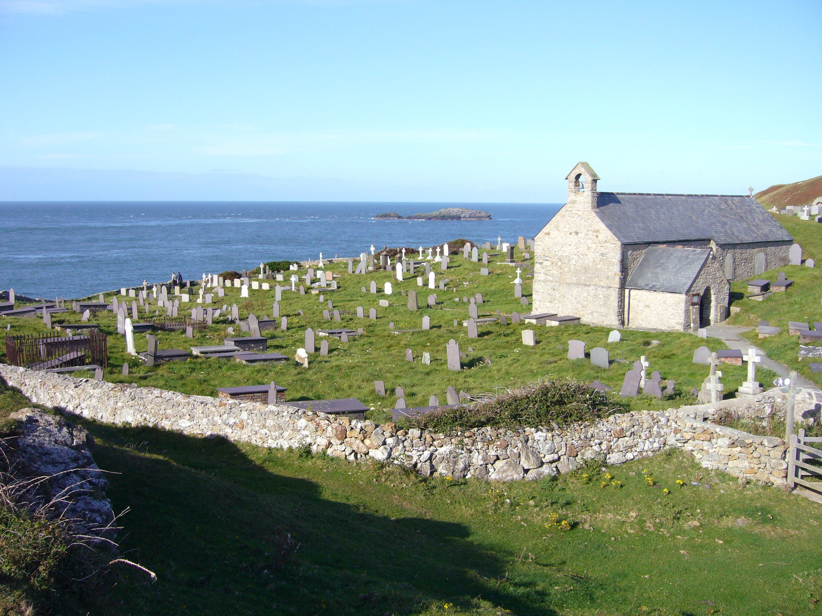
St Padrig's Church, Llanbadrig
St Padrig's Church is a medieval church in the village of Llanbadrig, Anglesey, Wales. The building probably dates from the 12th century and underwent...
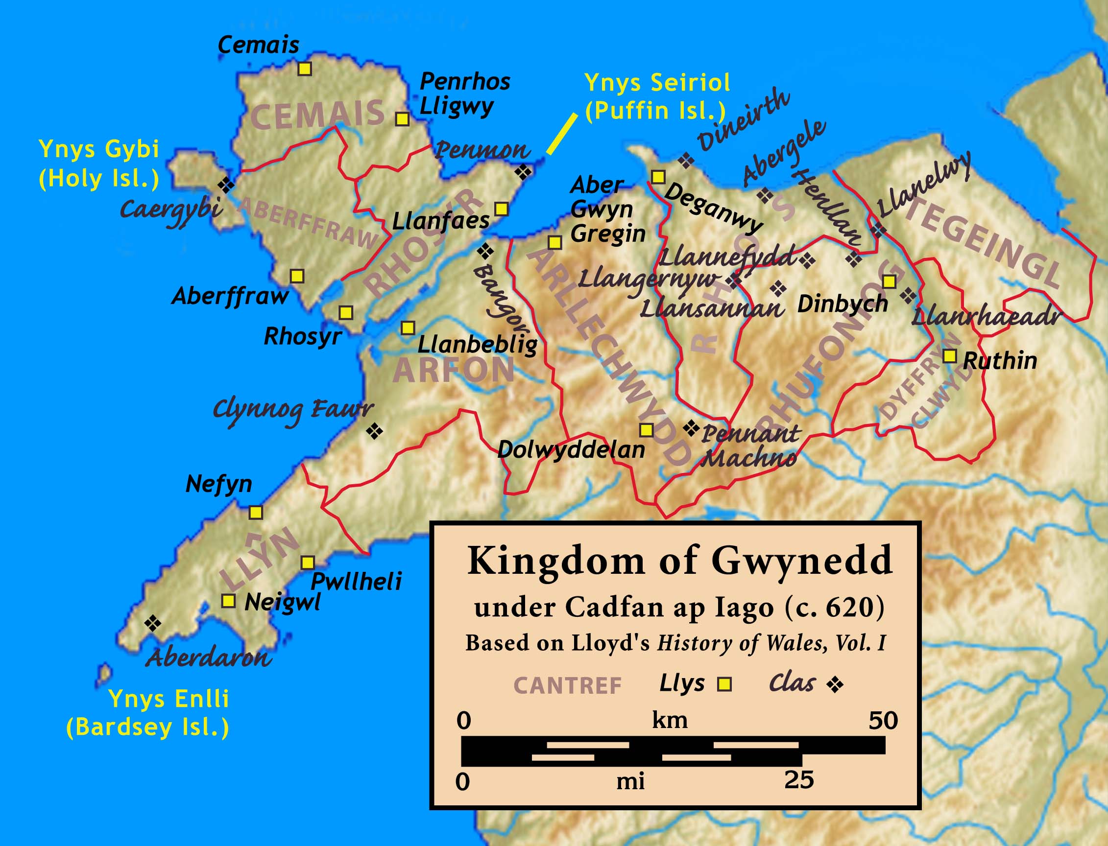
Cemais (Anglesey)
Cemais was one of the three medieval cantrefs on the island of Anglesey, north Wales, in the Kingdom of Gwynedd. It lay on the northern side of the island...
Nearby Amenities
Located within 500m of 53.416331,-4.4490594Have you been to Pîg y Barcud?
Leave your review of Pîg y Barcud below (or comments, questions and feedback).