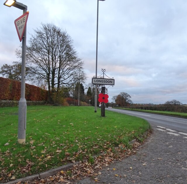
Longsdon
Settlement in Staffordshire Staffordshire Moorlands
England
Longsdon
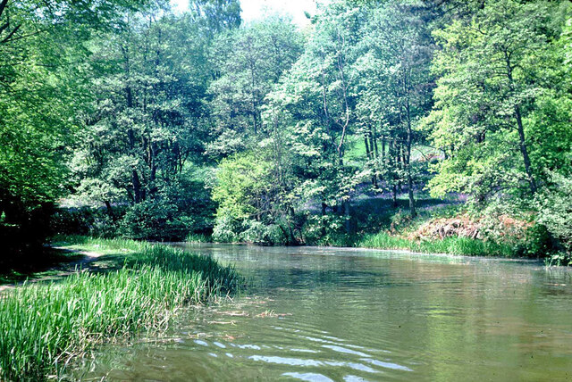
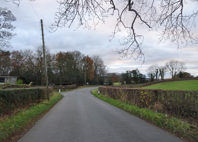
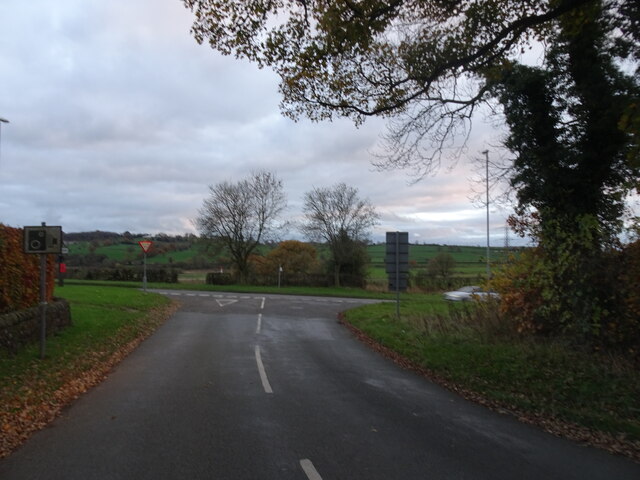
Longsdon is a small village located in the county of Staffordshire, England. Situated approximately 5 miles east of the town of Leek, Longsdon is nestled within the picturesque Staffordshire Moorlands. The village is surrounded by rolling hills, lush green fields, and serene countryside, making it an ideal destination for those seeking tranquility and natural beauty.
Longsdon is a close-knit community with a population of around 500 residents. The village has a rich history that can be traced back to the Domesday Book of 1086. It was primarily an agricultural settlement, with farming and sheep rearing being the main livelihoods for its inhabitants.
Today, Longsdon maintains its rural charm while embracing modern amenities. The village boasts a beautiful parish church, St. Chad's, which dates back to the 12th century and is a prominent landmark in the area. There are also several traditional stone cottages and farmhouses that add to the village's character.
Although Longsdon is a small village, it benefits from its proximity to larger towns and cities. The nearby market town of Leek offers a range of shops, supermarkets, and amenities, while the city of Stoke-on-Trent is within easy reach for those seeking a wider array of services and entertainment.
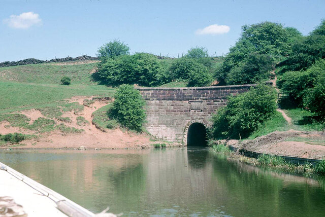
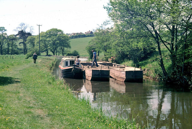
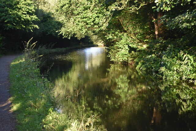
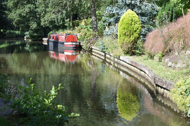
Longsdon is also surrounded by numerous walking and cycling routes, allowing visitors to explore the stunning Staffordshire Moorlands. The Roaches, a famous rocky outcrop and nature reserve, is just a short distance away and offers breathtaking views of the surrounding landscape.
In summary, Longsdon is a charming village in Staffordshire that combines rural beauty with modern convenience. Its tranquil setting, rich history, and proximity to natural attractions make it an appealing destination for locals and visitors alike.
If you have any feedback on the listing, please let us know in the comments section below.
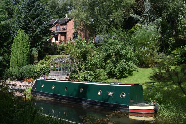
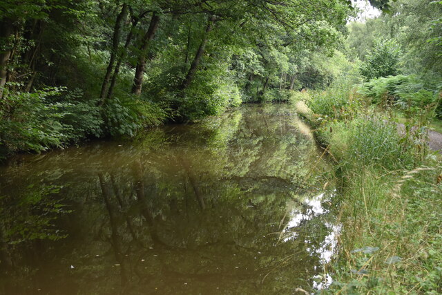
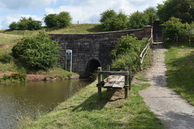
Longsdon Images
Images are sourced within 2km of 53.0915/-2.06 or Grid Reference SJ9654. Thanks to Geograph Open Source API. All images are credited.


Longsdon is located at Grid Ref: SJ9654 (Lat: 53.0915, Lng: -2.06)
Administrative County: Staffordshire
District: Staffordshire Moorlands
Police Authority: Staffordshire
What 3 Words
///pounce.galloping.icon. Near Leek, Staffordshire
Nearby Locations
Related Wikis

Longsdon
Longsdon is a village and civil parish in the Staffordshire Moorlands district of Staffordshire, England, about 1.5 miles (2.4 km) southwest of Leek, on...
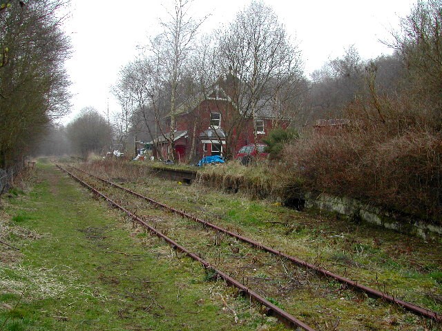
Wall Grange railway station
Wall Grange railway station is a disused railway station in Staffordshire, England. == History == The Stoke–Leek line was opened by the North Staffordshire...

Westwood Hall
Westwood Hall is a former stately home in Leek, Staffordshire, England. It is a Grade II listed building. It has been a school since 1921, and is now Westwood...
Westwood College, Leek
Westwood College, formerly known as Westwood High School is a mixed upper school located in Leek, Staffordshire, England. Westwood is set in the grounds...

Deep Hayes Country Park
Deep Hayes Country Park is a country park in Staffordshire, England. It is about 3 miles (4.8 km) south-west of Leek, a short distance south of the A53...

St Edwards Hospital tramway
The St Edward's Hospital tramway was a tramway built for Staffordshire County Council for the construction of the St Edward's County Mental Asylum at Cheddleton...

St Edward's Hospital
St Edward's Hospital was a mental health facility at Cheddleton in Staffordshire, England. The hospital closed in 2002 and was converted into apartments...
Leek (Churnet Valley) railway station
Leek (Churnet Valley) railway station is the proposed and future terminus of the Churnet Valley Railway and is currently awaiting construction. It will...
Nearby Amenities
Located within 500m of 53.0915,-2.06Have you been to Longsdon?
Leave your review of Longsdon below (or comments, questions and feedback).