Longridge End
Settlement in Gloucestershire Tewkesbury
England
Longridge End
Longridge End is a small village located in the county of Gloucestershire, England. Situated in the picturesque Cotswolds region, it is known for its idyllic countryside setting and charming rural atmosphere. With a population of around 500 residents, Longridge End offers a peaceful and close-knit community for its inhabitants.
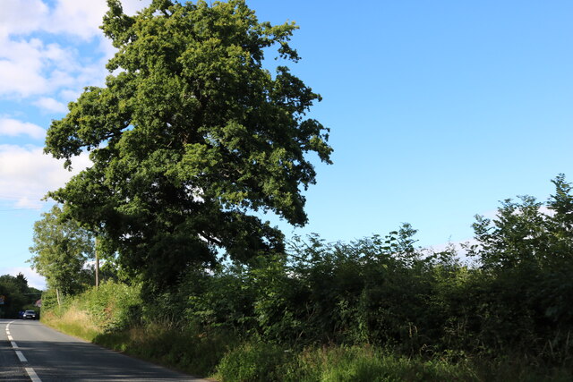
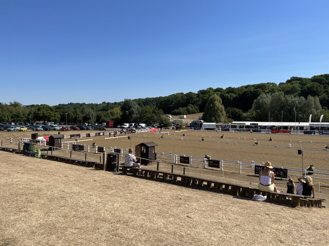
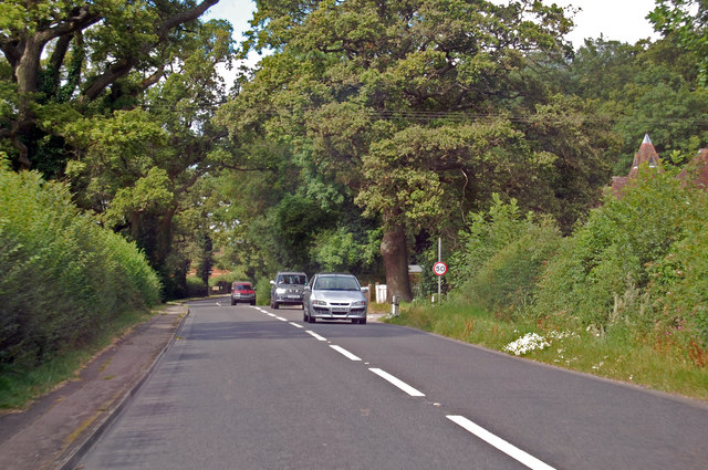
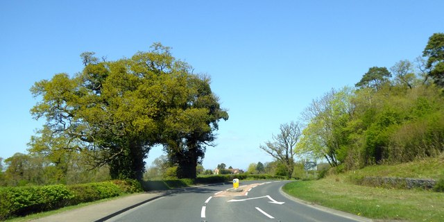
The village is surrounded by rolling hills and lush green fields, making it a popular destination for nature lovers and outdoor enthusiasts. The nearby Cotswold Way, a renowned long-distance footpath, provides ample opportunities for hiking and exploring the stunning landscapes.
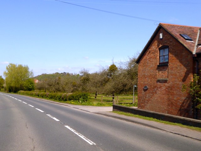
Longridge End itself is characterized by its quaint cottages and traditional architecture, reflecting the area's rich history. The village church, St. Mary's, stands as a prominent landmark, dating back to the 12th century and featuring beautiful stained glass windows.
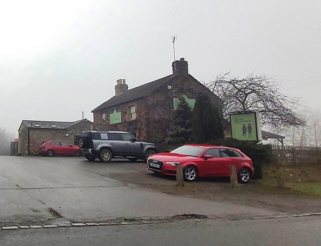
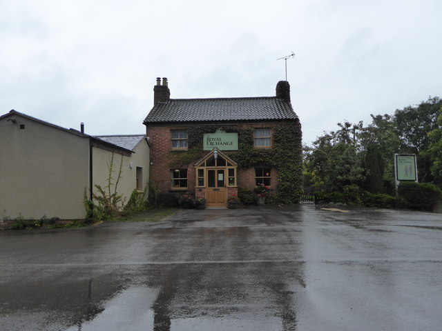
Amenities in Longridge End are limited, with only a small local shop and a cozy pub serving as the primary gathering spots for residents. However, the village's proximity to larger towns and cities, such as Cheltenham and Gloucester, ensures access to a wider range of services and facilities.
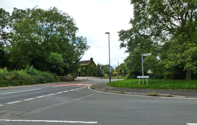
Longridge End benefits from excellent transportation links, with major road networks connecting it to nearby towns and cities. The closest train station is within a short drive, providing convenient access to further destinations.
Overall, Longridge End offers a peaceful and picturesque retreat in the heart of the Cotswolds, attracting those seeking a slower pace of life and a close connection to nature.
If you have any feedback on the listing, please let us know in the comments section below.
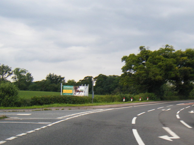
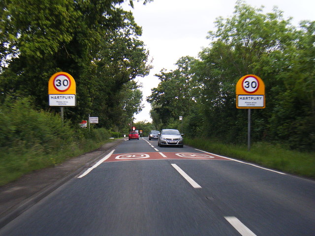
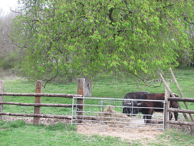
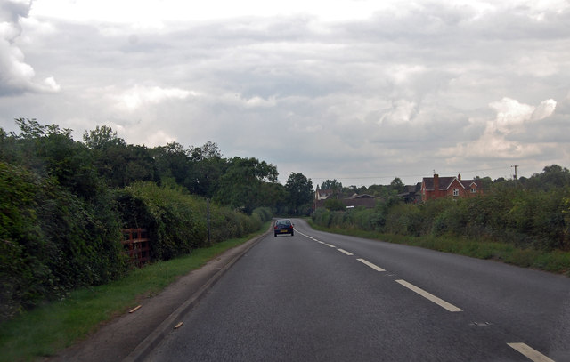
Longridge End Images
Images are sourced within 2km of 51.914202/-2.2776356 or Grid Reference SO8124. Thanks to Geograph Open Source API. All images are credited.


Longridge End is located at Grid Ref: SO8124 (Lat: 51.914202, Lng: -2.2776356)
Administrative County: Gloucestershire
District: Tewkesbury
Police Authority: Gloucestershire
What 3 Words
///aviators.condense.visa. Near Corse, Gloucestershire
Nearby Locations
Related Wikis

Ashleworth
Ashleworth (sometimes formerly spelled ‘Ashelworth’) is a village and civil parish in the Tewkesbury district of Gloucestershire, England, with a population...
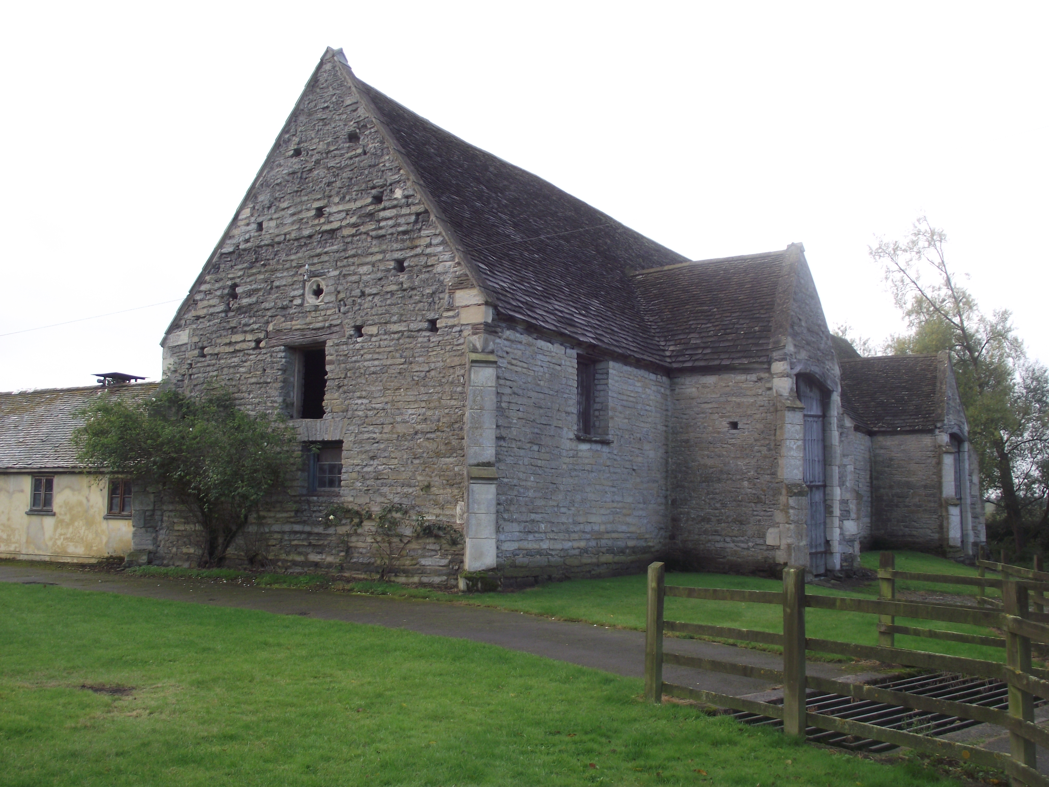
Ashleworth Tithe Barn
Ashleworth Tithe Barn is a large 15th-century tithe barn located at Ashleworth, Gloucestershire, England, standing close to the River Severn. It is a Grade...

Ashleworth Court
Ashleworth Court is a grade I listed house close to the River Severn in Ashleworth, Gloucestershire, England.The site has revealed pottery from Roman Britain...

Woolridge
Woolridge is a village in Gloucestershire, England.

St Lawrence's Church, Sandhurst
The Church of St Lawrence is a Grade II* listed Church of England church in Sandhurst, Gloucestershire.It was rebuilt to a design by Thomas Fulljames in...

Hartpury
Hartpury is a civil parish in Gloucestershire, England. It has an area of about 3,500 acres (1,400 ha), about 270 homes and a population of about 700 people...

Hartpury University F.C.
Hartpury University Football Club is a football club based in Hartpury, England, and are the football team of the Hartpury College. They are currently...
Sandhurst, Gloucestershire
Sandhurst is a village just outside Gloucester, England. The parish church and Wallsworth Hall are Grade II* listed buildings. The River Severn is the...
Nearby Amenities
Located within 500m of 51.914202,-2.2776356Have you been to Longridge End?
Leave your review of Longridge End below (or comments, questions and feedback).