Damehole Point
Coastal Feature, Headland, Point in Devon Torridge
England
Damehole Point

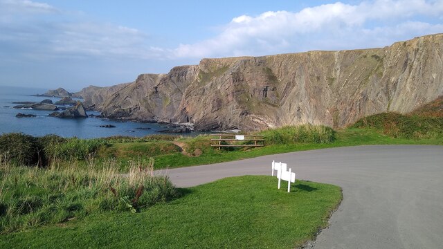
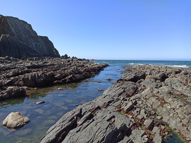
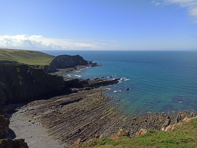
Damehole Point is a prominent headland located on the northern coast of Devon, England. Situated between the towns of Bideford and Westward Ho!, it is a significant coastal feature that attracts both locals and tourists alike.
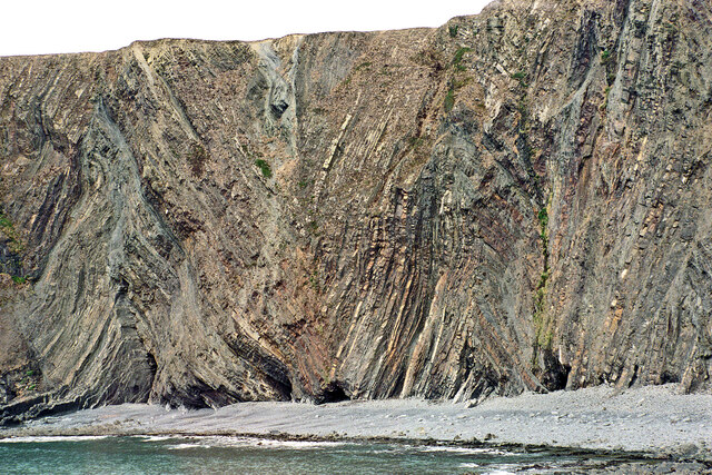
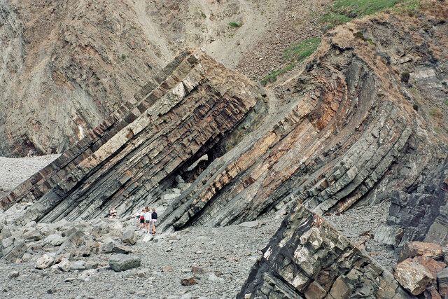
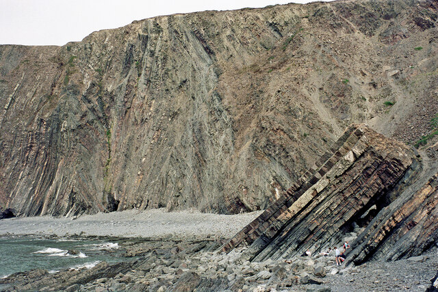
The headland gets its name from the small cave or "hole" found at its base, which is said to resemble a woman's mouth or "dame's hole". This unique geological formation is an interesting sight and adds to the appeal of the area.
Damehole Point boasts stunning panoramic views of the coastline and beyond. From its elevated position, visitors can admire the rugged cliffs, sandy beaches, and the vast expanse of the Atlantic Ocean. On a clear day, it is even possible to see the distant Lundy Island.
The headland is a popular destination for outdoor enthusiasts and nature lovers. It offers various activities such as hiking, birdwatching, and photography. The coastal path that runs along the cliff tops provides excellent opportunities for scenic walks, allowing visitors to fully appreciate the beauty of the surrounding landscape.
The area surrounding Damehole Point is rich in wildlife, making it a haven for bird species such as gulls, cormorants, and migratory birds. Occasionally, seals can also be spotted resting on the rocks below.
Overall, Damehole Point is a captivating coastal feature that perfectly showcases the rugged beauty of Devon's northern coast. Its stunning views, unique geological formations, and abundant wildlife make it a must-visit destination for anyone exploring the region.
If you have any feedback on the listing, please let us know in the comments section below.
Damehole Point Images
Images are sourced within 2km of 51.00838/-4.535376 or Grid Reference SS2226. Thanks to Geograph Open Source API. All images are credited.


Damehole Point is located at Grid Ref: SS2226 (Lat: 51.00838, Lng: -4.535376)
Administrative County: Devon
District: Torridge
Police Authority: Devon and Cornwall
What 3 Words
///swerving.beeline.exposing. Near Flexbury, Cornwall
Nearby Locations
Related Wikis
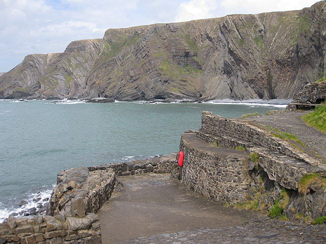
Hartland Quay
Hartland Quay is located on the Atlantic coast of Devon, England, south of Hartland Point and north of Bude, Cornwall. It experiences some of the roughest...
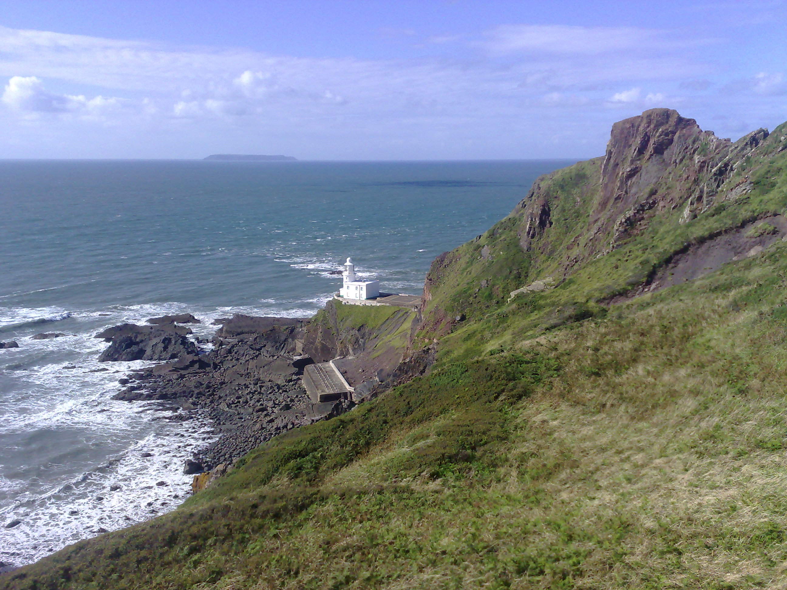
Hartland Point Lighthouse
Hartland Point Lighthouse is a Grade II listed building at Hartland Point, Devon, England. The point marks the western limit (on the English side) of the...
Hartland Point
Hartland Point is a 325 ft (99 m) high rocky outcrop of land on the north-western tip of the Devon coast in England. It is three miles (5 km) north-west...
Embury Beacon
Embury Beacon is the site of an Iron Age promontory fort on the west of the Hartland Peninsula, north of Bude and west of Clovelly, in north Devon. The...
Nearby Amenities
Located within 500m of 51.00838,-4.535376Have you been to Damehole Point?
Leave your review of Damehole Point below (or comments, questions and feedback).