Carreg goch

Coastal Feature, Headland, Point in Caernarfonshire

Wales

Carreg goch

The beach at Aberdaron The Tŷ Newydd Hotel is on the left.
The beach at Aberdaron Credit: Steve Daniels

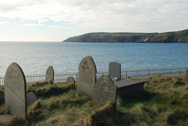
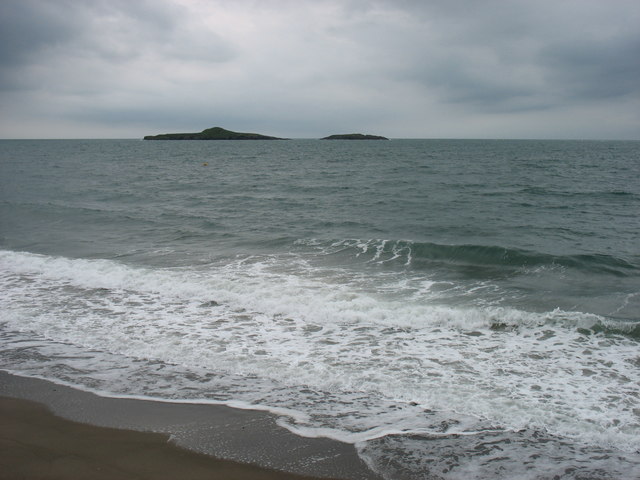
Carreg Goch is a striking coastal feature located in Caernarfonshire, Wales. Situated on the Llyn Peninsula, it is a prominent headland that juts out into the Irish Sea, creating a picturesque point along the rugged coastline.

The name "Carreg Goch" translates to "red rock" in English, which aptly describes the distinctive red sandstone cliffs that characterize this headland. These cliffs, which reach heights of up to 30 meters (98 feet), provide a dramatic backdrop to the surrounding landscape.

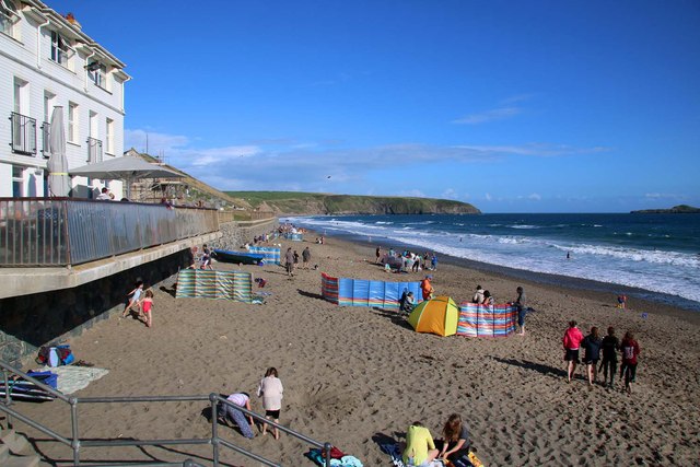
Carreg Goch is renowned for its natural beauty and has become a popular destination for nature enthusiasts and hikers. The headland offers breathtaking panoramic views of the sea and the surrounding countryside, making it an ideal spot for photographers and sightseers.

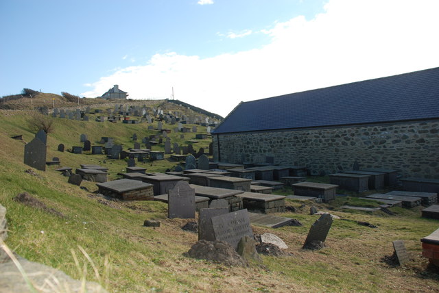
The rugged coastal environment around Carreg Goch is home to diverse marine life, including seabirds, seals, and occasionally dolphins. It also features unique rock formations and caves, which can be explored during low tide. These geological features add to the allure of the area, attracting geologists and nature lovers alike.

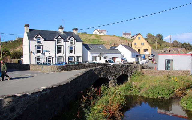
Access to Carreg Goch is relatively easy, with a well-maintained footpath leading to the headland. The path meanders through open fields and offers stunning vistas along the way. It is advisable to wear appropriate footwear and take caution when exploring the cliffs, as they can be steep and exposed.

Overall, Carreg Goch is a captivating coastal feature that showcases the natural beauty and geological wonders of Caernarfonshire. Whether it's for a leisurely stroll, birdwatching, or simply appreciating the stunning scenery, this headland is a must-visit destination for anyone exploring the Llyn Peninsula.

If you have any feedback on the listing, please let us know in the comments section below.

Carreg goch Images

Images are sourced within 2km of 52.794643/-4.6918749 or Grid Reference SH1825. Thanks to Geograph Open Source API. All images are credited.
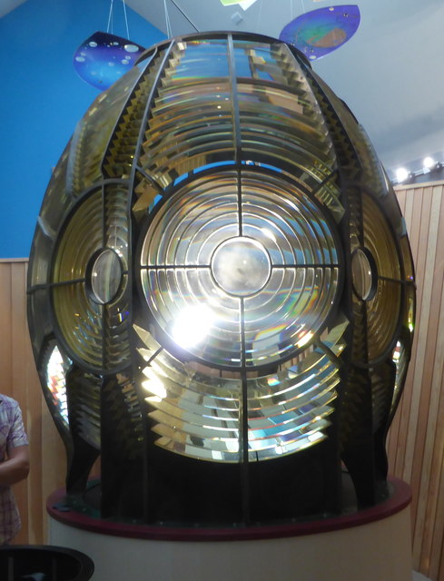
The beach at Aberdaron The Tŷ Newydd Hotel is on the left.
The beach at Aberdaron
The Tŷ Newydd Hotel is on the left.
Bridge over Afon Cyllyfelin (Pont Fach) Photographed from the bridge over the Afon Daron (Pont Fawr).
Bridge over Afon Cyllyfelin (Pont Fach)
Photographed from the bridge over the Afon Daron (Pont Fawr).
Resurfaced car park at Porth y Swnt
Porth y Swnt Interpretation Centre Owned by the National Trust. Its prize exhibit is the old [redundant] optic from the lighthouse on Ynys Enlli.
Porth y Swnt Interpretation Centre
Owned by the National Trust. Its prize exhibit is the old [redundant] optic from the lighthouse on Ynys Enlli.
The lighthouse optic in Porth y Swnt The part-figure gives the scale. Some of the glass lens sections have damage which are allegedly bullet chips from World War II attempts by German planes to extinguish the light.
The lighthouse optic in Porth y Swnt
The part-figure gives the scale. Some of the glass lens sections have damage which are allegedly bullet chips from World War II attempts by German planes to extinguish the light.
Becws Islyn The former corrugated iron <a href="https://www.geograph.org.uk/photo/357618">SH1726 : Becws Islyn Bakery Aberdaron</a> was demolished in 2015 and replaced by a newly built bakery, shop and coffee house. It is an impressive building and a great addition to Aberdaron, though the colour-washed walls and thatched roof are very much out of character with the otherwise white and grey grittiness of this windswept village.
Becws Islyn
The former corrugated iron SH1726 : Becws Islyn Bakery Aberdaron was demolished in 2015 and replaced by a newly built bakery, shop and coffee house. It is an impressive building and a great addition to Aberdaron, though the colour-washed walls and thatched roof are very much out of character with the otherwise white and grey grittiness of this windswept village.
Porth y Swnt For information about the National Trust centre opened in 2014 see <span class="nowrap"><a title="http://www.nationaltrust.org.uk/porth-y-swnt" rel="nofollow ugc noopener" href="http://www.nationaltrust.org.uk/porth-y-swnt">Link</a><img style="margin-left:2px;" alt="External link" title="External link - shift click to open in new window" src="https://s1.geograph.org.uk/img/external.png" width="10" height="10"/></span>
Porth y Swnt
For information about the National Trust centre opened in 2014 see LinkExternal link
Arwyddbost yng nghanol y pentref - Signpost in the centre of the village
Mynwent Eglwys Hywyn Sant - St Hywyn's Church graveyard
Y ffordd i'r Rhiw - The road to Rhiw The row of cottages opposite the church are now mostly holiday lets.
Y ffordd i'r Rhiw - The road to Rhiw
The row of cottages opposite the church are now mostly holiday lets.
Bagét ar y Traeth - Baguette on the Beach A seasonal takeaway facing the beach.
Bagét ar y Traeth - Baguette on the Beach
A seasonal takeaway facing the beach.
Bwydlen ddwyiethog Bilingual menu Fare on offer at <a href="https://www.geograph.org.uk/photo/4845125">SH1726 : Bagét ar y Traeth - Baguette on the Beach</a>
Bwydlen ddwyiethog Bilingual menu
Ordnance Survey Cut Mark This OS cut mark can be found on the NE face of St Hywyn's Church. It marks a point 9.826m above mean sea level.
Ordnance Survey Cut Mark
This OS cut mark can be found on the NE face of St Hywyn's Church. It marks a point 9.826m above mean sea level.
Milestone
Milestone
St Hywyn church, Aberdaron
Ynys Gwylan-fawr and Ynys Gwylan-bach The large and small Gull Islands, seen from Aberdaron church. The profile of Gwylan-fawr is very reminiscent of Dutchman's Cap in the Treshnish Islands (<a href="https://www.geograph.org.uk/gridref/NM2438">NM2438</a>).
Ynys Gwylan-fawr and Ynys Gwylan-bach
The large and small Gull Islands, seen from Aberdaron church. The profile of Gwylan-fawr is very reminiscent of Dutchman's Cap in the Treshnish Islands (NM2438).
Show me another place!

Carreg goch is located at Grid Ref: SH1825 (Lat: 52.794643, Lng: -4.6918749)

Unitary Authority: Gwynedd

Police Authority: North Wales

What 3 Words

///rainwater.funnels.jumps. Near Nefyn, Gwynedd

Related Wikis

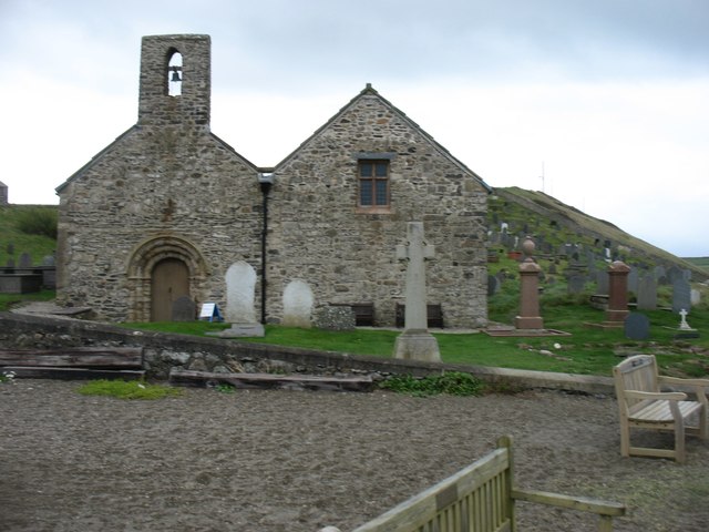
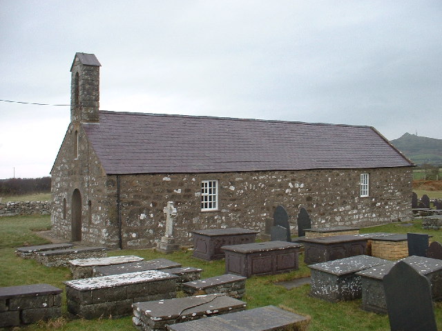
St Hywyn's Church, Aberdaron

The Church of St Hywyn, Aberdaron, Gwynedd, Wales, is a parish church dating from the 12th century. Its origins are earlier, as a clas church from the...

Aberdaron

Aberdaron (Welsh pronunciation: [abɛrˈdarɔn]) is a community, electoral ward and former fishing village at the western tip of the Llŷn Peninsula in the...

Llanfaelrhys

Llanfaelrhys is a village and former civil parish in the Welsh county of Gwynedd, located on the Llŷn Peninsula. The parish was abolished in 1934 and...
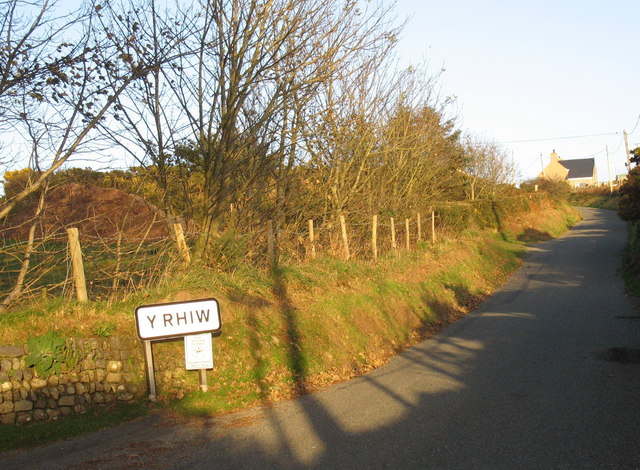
Y Rhiw

Y Rhiw () is a small village on the south west tip of the Llŷn Peninsula in Gwynedd, Wales. The village forms part of the community of Aberdaron. From...

Nearby Amenities

Located within 500m of 52.794643,-4.6918749
Source: PGS
Lat/Long: 52.7970671/-4.6919997
Source: PGS
Lat/Long: 52.7969708/-4.692113
Source: PGS
Lat/Long: 52.7962988/-4.6921428
Source: PGS
Lat/Long: 52.7961034/-4.6923131
Source: PGS
Lat/Long: 52.7950996/-4.692303
Source: PGS
Lat/Long: 52.7947925/-4.6912297
Source: PGS
Lat/Long: 52.7938258/-4.6884714
Source: PGS
Lat/Long: 52.7938348/-4.6884057
Source: PGS
Lat/Long: 52.7939217/-4.6881037
Source: PGS
Lat/Long: 52.7938671/-4.6880139
Source: PGS
Lat/Long: 52.7936461/-4.6875098
Source: PGS
Lat/Long: 52.7939697/-4.6875107
Source: PGS
Lat/Long: 52.7939964/-4.6877049
Source: PGS
Lat/Long: 52.794817/-4.687082
Swnt Bach
Description: Mor
Lat/Long: 52.7913654/-4.6897717
Barrier: kissing_gate
Bicycle: no
Horse: no
Motor Vehicle: no
Lat/Long: 52.7961857/-4.6878132
Barrier: kissing_gate
Bicycle: no
Horse: no
Motor Vehicle: no
Lat/Long: 52.7961203/-4.6913214
Barrier: kissing_gate
Bicycle: no
Horse: no
Motor Vehicle: no
Lat/Long: 52.7975068/-4.6864909
The data included in this document is from www.openstreetmap.org. The data is made available under ODbL.

Have you been to Carreg goch?

Leave your review of Carreg goch below (or comments, questions and feedback).