Beacon's Bottom
Settlement in Oxfordshire
England
Beacon's Bottom
Beacon's Bottom is a small village located in the county of Oxfordshire, England. Situated in the Chiltern Hills, it lies approximately 5 miles northwest of High Wycombe and 8 miles southeast of Thame. With a population of around 200 people, Beacon's Bottom offers a tranquil and picturesque setting for its residents.
The village takes its name from the nearby Beacon's Hill, which stands at an elevation of 261 meters and offers breathtaking panoramic views of the surrounding countryside. This hill has a historical significance, as it was used as a beacon site during the Elizabethan era to warn of approaching danger.
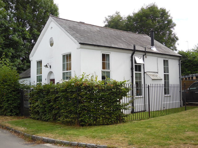
Despite its small size, Beacon's Bottom boasts a strong sense of community. The village is home to a charming 12th-century church, St. Michael's, which is known for its beautiful stained glass windows and peaceful atmosphere. The church plays an active role in village life, hosting regular services, events, and social gatherings.
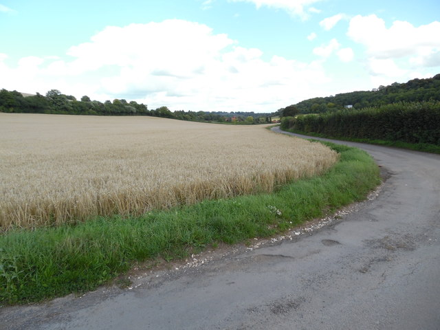
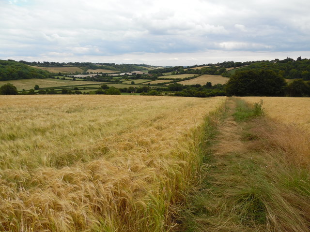
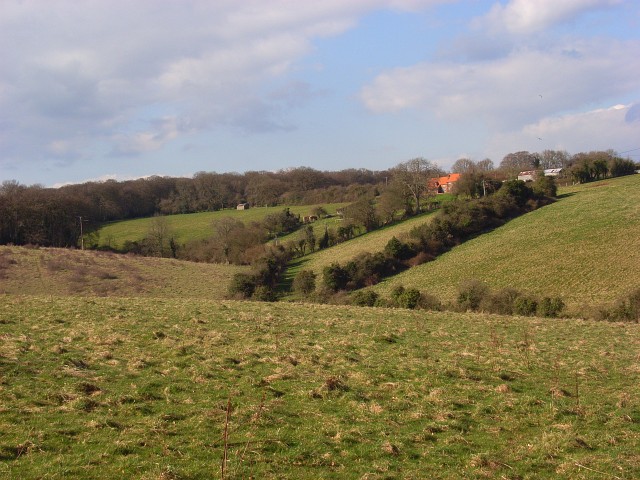
Surrounded by rolling hills and lush green fields, Beacon's Bottom is a haven for nature enthusiasts. The area offers numerous walking and hiking trails, allowing residents and visitors to explore the stunning Chiltern countryside. Additionally, the village is a popular spot for birdwatching, with a variety of species inhabiting the nearby woodlands and meadows.
Though Beacon's Bottom may be small, its idyllic location, strong community spirit, and natural beauty make it a truly special place to call home.
If you have any feedback on the listing, please let us know in the comments section below.
Beacon's Bottom Images
Images are sourced within 2km of 51.653345/-0.870292 or Grid Reference SU7895. Thanks to Geograph Open Source API. All images are credited.


Beacon's Bottom is located at Grid Ref: SU7895 (Lat: 51.653345, Lng: -0.870292)
Unitary Authority: Buckinghamshire
Police Authority: Thames Valley
What 3 Words
///tunnel.formation.inhaler. Near Stokenchurch, Buckinghamshire
Nearby Locations
Related Wikis
Beacon's Bottom
Beacon's Bottom, also known as Bacon's Bottom, is a hamlet on the A40 between Piddington and Stokenchurch in England. Until 1895 it was administratively...

Waterend, Buckinghamshire
Waterend is a hamlet located on the A40 between Piddington and Stokenchurch in Buckinghamshire, England. Together with the adjacent hamlets of Horsleys...
Horsleys Green
Horsleys Green (often incorrectly referred to as Horsley's Green) is a hamlet located on the A40 between Piddington and Stokenchurch in Buckinghamshire...
Studley Green
Studley Green is a hamlet located on the A40 between Piddington and Stokenchurch in Buckinghamshire, England. The term 'Studley Green' is also used to...
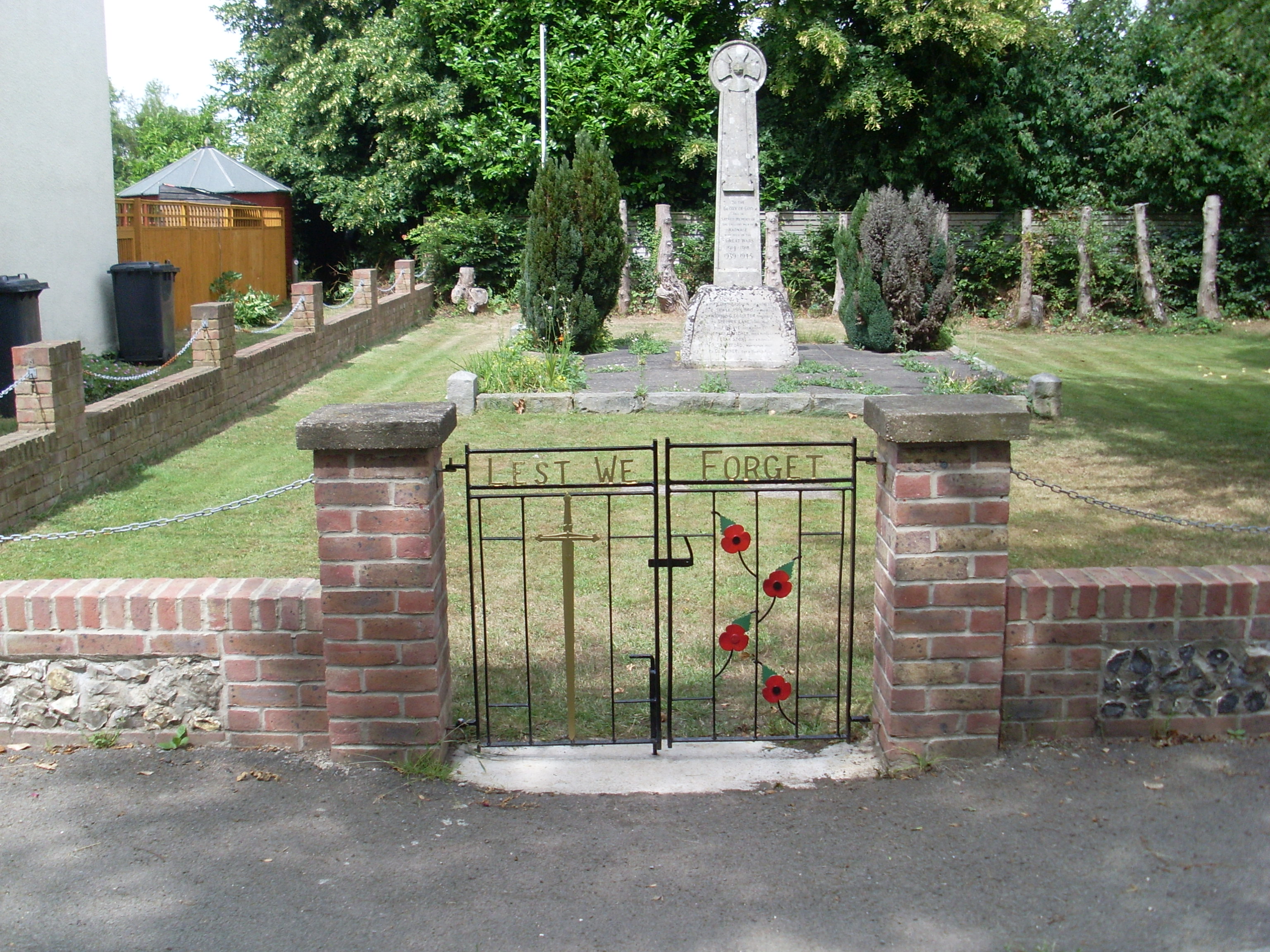
Radnage War Memorial
Radnage War Memorial is located at Mudds Bank, Radnage, Buckinghamshire, England. It is a grade II listed building with Historic England and commemorates...
Bottom Wood
Bottom Wood is a 14.5-hectare (36-acre) woodland in the English county of Buckinghamshire, located just north of the A40 near the hamlet of Studley Green...

Radnage
Radnage is a village and civil parish in the Buckinghamshire district of Buckinghamshire, England. It is in the Chiltern Hills about two miles north east...

Bennett End
Bennett End is a hamlet near Radnage and Bledlow Ridge in Buckinghamshire, England. At the 2011 Census the population of the hamlet was included in the...
Nearby Amenities
Located within 500m of 51.653345,-0.870292Have you been to Beacon's Bottom?
Leave your review of Beacon's Bottom below (or comments, questions and feedback).