Carrickcamrie
Coastal Feature, Headland, Point in Wigtownshire
Scotland
Carrickcamrie
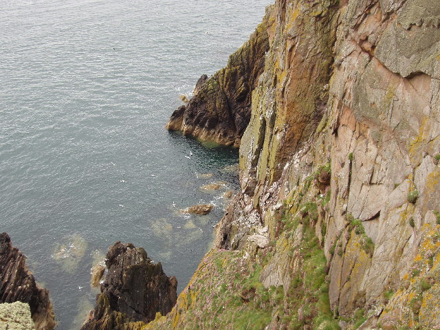
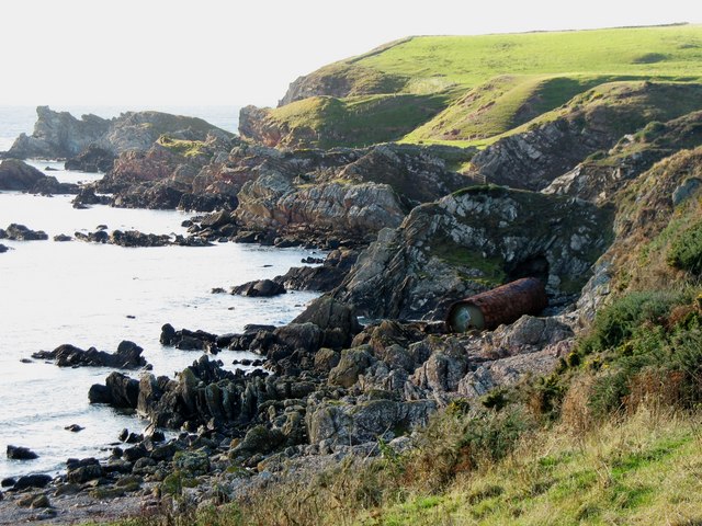
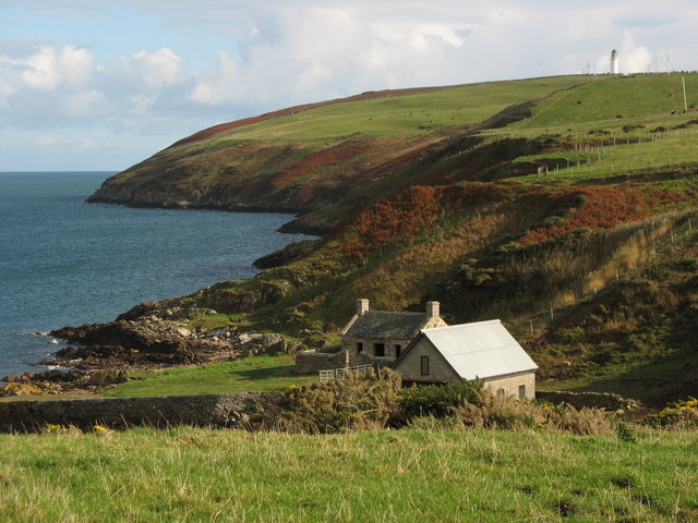
Carrickcamrie is a prominent coastal feature located in Wigtownshire, Scotland. It is a headland that juts out into the North Channel, separating the Irish Sea from the Atlantic Ocean. This rugged and picturesque point is known for its stunning beauty and dramatic cliffs that overlook the surrounding waters.
Situated near the village of Portpatrick, Carrickcamrie offers breathtaking panoramic views of the coastline and the neighboring Northern Irish coast. The headland stands at an impressive height, providing visitors with an ideal vantage point to observe the crashing waves and seabirds soaring above.
The area surrounding Carrickcamrie is rich in natural beauty and provides a habitat for a variety of wildlife. Puffins, gannets, and other seabirds can often be spotted nesting along the cliffs during the breeding season. The headland is also home to a diverse range of plant species, including heather, gorse, and wildflowers.
Carrickcamrie is a popular destination for outdoor enthusiasts, offering opportunities for coastal walks, hiking, and birdwatching. The headland is part of the South West Coastal 300, a scenic driving route that showcases the best of southwestern Scotland's coastline.
Visitors to Carrickcamrie can enjoy exploring the rugged terrain, taking in the stunning views, and experiencing the wild beauty of this coastal feature. Whether it's a peaceful stroll along the cliff top or an adrenaline-fueled adventure, Carrickcamrie is a must-visit destination for nature lovers and those seeking a taste of Scotland's untamed coastal landscapes.
If you have any feedback on the listing, please let us know in the comments section below.
Carrickcamrie Images
Images are sourced within 2km of 54.639604/-4.8997663 or Grid Reference NX1231. Thanks to Geograph Open Source API. All images are credited.

![East Tarbet This is the 'neck' of the Mull of Galloway. A tarbet is a place where a boat could be dragged from one side of a headland or island to the other [which is probably not done much these days]. This side is on Luce Bay, the point on the other side of the headland is on the Irish Sea and is called, somewhat predictably, West Tarbet.](https://s0.geograph.org.uk/photos/21/58/215836_01f2e0a7.jpg)


Carrickcamrie is located at Grid Ref: NX1231 (Lat: 54.639604, Lng: -4.8997663)
Unitary Authority: Dumfries and Galloway
Police Authority: Dumfries and Galloway
What 3 Words
///lyrics.solves.vineyard. Near Drummore, Dumfries & Galloway
Nearby Locations
Related Wikis

Cairngaan
Cairngaan, Wigtownshire, is the southmost settlement in Scotland. The hamlet of Cairngaan lies just north of the Mull of Galloway (which contains Scotland...

Mull of Galloway
The Mull of Galloway (Scottish Gaelic: Maol nan Gall, pronounced [mɯːlˠ̪ nəŋ ˈkaulˠ̪]; grid reference NX158303) is the southernmost point of Scotland....
Drummore
Drummore (drum-ORE; (from Gaelic An Druim Mòr meaning "the great ridge") is the southernmost village in Scotland, located at the southern end of the Rhins...
Kirkmaiden (village)
Kirkmaiden (sometimes Maidenkirk; Scottish Gaelic: Cill M'Eudan) is a small settlement in Galloway, Scotland, located approximately 17 miles (27 km) south...
Kirkmaiden
Kirkmaiden is a parish in the Rhins of Galloway, the most southerly in Scotland; the present Church of Scotland parish has the same name as and is approximately...

Pasages (steam trawler)
ST Pasages (FD 119) was originally a Canadian "Castle" – TR series minesweeping trawler built by the Dominion Shipbuilding Company, Toronto, in 1917 for...

Port Logan
Port Logan, formerly Port Nessock, is a small village in the parish of Kirkmaiden in the Rhins of Galloway in Wigtownshire. The Gaelic name is Port Neasaig...
Related Videos
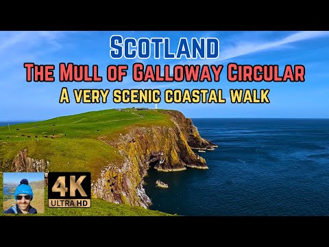
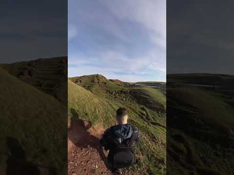
The scenic Mull of Galloway trail circular walk
The very scenic Mull of Galloway trail circular walk starts out from the Mull of Galloway lighthouse which sits on the very Southern ...


Nearby Amenities
Located within 500m of 54.639604,-4.8997663Have you been to Carrickcamrie?
Leave your review of Carrickcamrie below (or comments, questions and feedback).