Geodha an Tuill
Coastal Feature, Headland, Point in Cromartyshire
Scotland
Geodha an Tuill

The requested URL returned error: 429 Too Many Requests
If you have any feedback on the listing, please let us know in the comments section below.
Geodha an Tuill Images
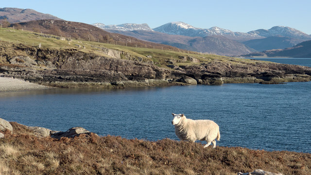
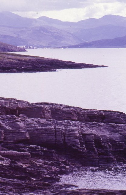
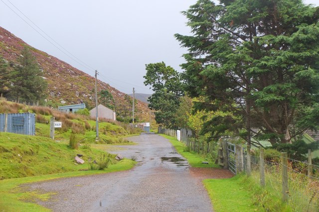
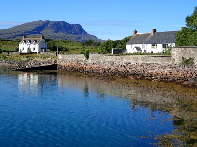
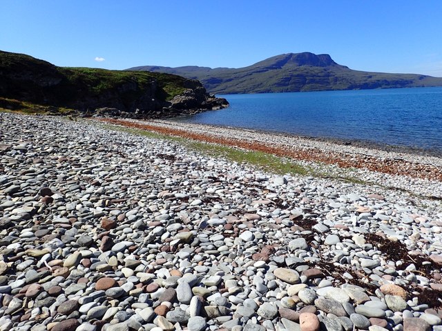
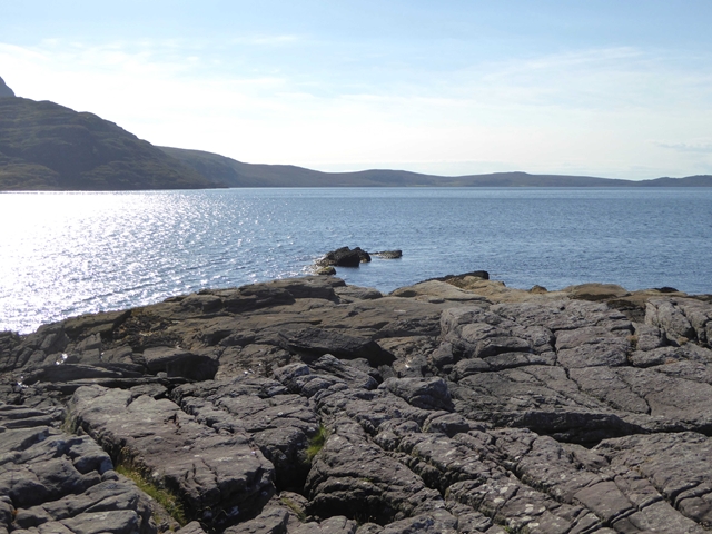
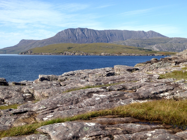
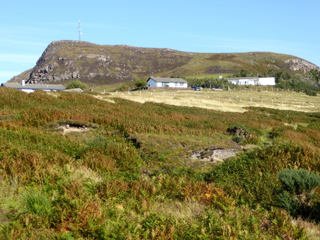
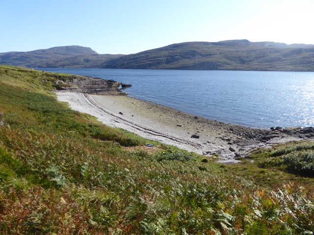
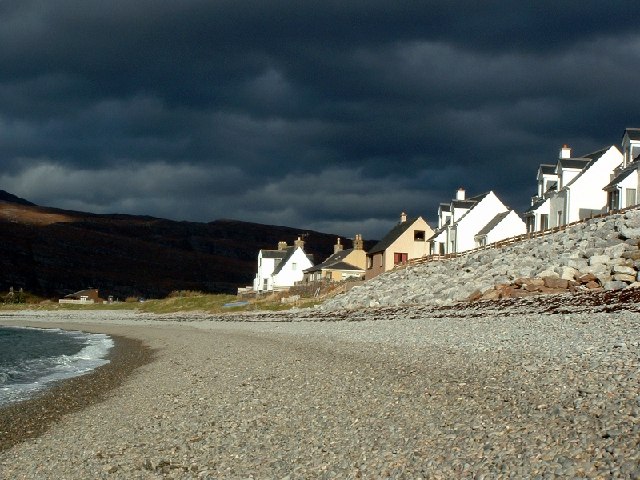
Images are sourced within 2km of 57.926288/-5.2212804 or Grid Reference NH0997. Thanks to Geograph Open Source API. All images are credited.

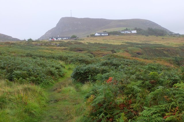


![Rubha Cadail Lighthouse A small lighthouse near the approach to Ullapool at the entrance to Loch Broom. See [<span class="nowrap"><a title="http://www.worldwidelighthouses.com/Lighthouses/Scottish-Lighthouses/Privately-Owned/Rubha-Cadail" rel="nofollow ugc noopener" href="http://www.worldwidelighthouses.com/Lighthouses/Scottish-Lighthouses/Privately-Owned/Rubha-Cadail">Link</a><img style="margin-left:2px;" alt="External link" title="External link - shift click to open in new window" src="https://s1.geograph.org.uk/img/external.png" width="10" height="10"/></span>] for more information.](https://s1.geograph.org.uk/geophotos/05/64/14/5641477_ede47a81.jpg)

Geodha an Tuill is located at Grid Ref: NH0997 (Lat: 57.926288, Lng: -5.2212804)
Unitary Authority: Highland
Police Authority: Highlands and Islands
What 3 Words
///tactical.outbound.engaging. Near Ullapool, Highland
Nearby Locations
Related Wikis

Rhue, Scotland
Rhue (An Rubha in Gaelic) is a small settlement north of Ullapool in Ross and Cromarty, and is in the Scottish council area of Highland, Scotland. ��2...
Ardmair
Ardmair (Scottish Gaelic: Àird Mhèar) is a village in Wester Ross, in the North West Highlands of Scotland. Formerly a fishing village, Ardmair is located...

Isle Martin
Isle Martin (Scottish Gaelic: Eilean Mhàrtainn) is an uninhabited island in Loch Broom, on the west coast of Scotland. It is the closest of the Summer...

Morefield
Morefield (A' Mhór-choille in Gaelic) is a small hamlet, lying on the northern shore of Loch Broom, 2 miles to the north of Ullapool and south of Rhue...
Related Videos

Ardmair Point Caravan & Camping | Tour & Review April 2023 | Scotland | NC500 | Motorhome | Campsite
In this video, we take a look at Ardmair Point campsite (also called Ardmair Holiday Park as there are cabins and lodges available ...


We tried to walk across Scotland in a completely straight line, inspired by 'GeoWizard' (PART 1)
Please kindly donate to our JustGiving page in aid of Ukraine here: https://www.justgiving.com/team/eureka Inspired (and given ...
Nearby Amenities
Located within 500m of 57.926288,-5.2212804Have you been to Geodha an Tuill?
Leave your review of Geodha an Tuill below (or comments, questions and feedback).