Longfield
Settlement in Kent Dartford
England
Longfield
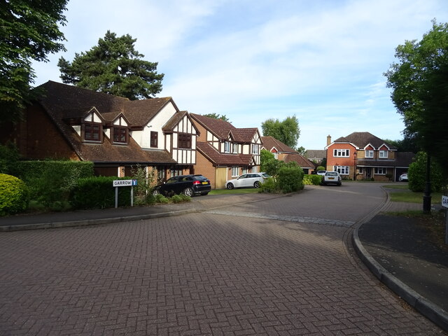
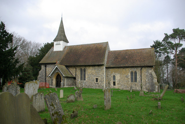
Longfield is a small village located in the county of Kent, in southeastern England. It is situated approximately 20 miles southeast of central London and falls within the Sevenoaks district. With a population of around 4,500 people, it is a relatively quiet and tightly-knit community.
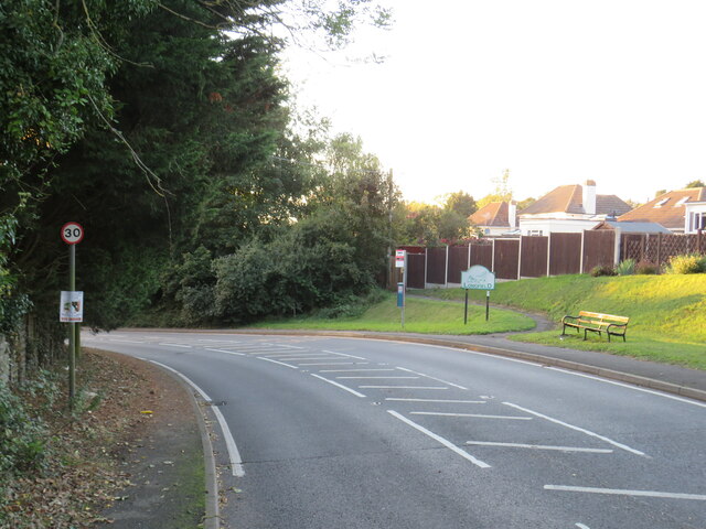
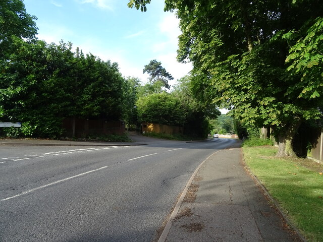
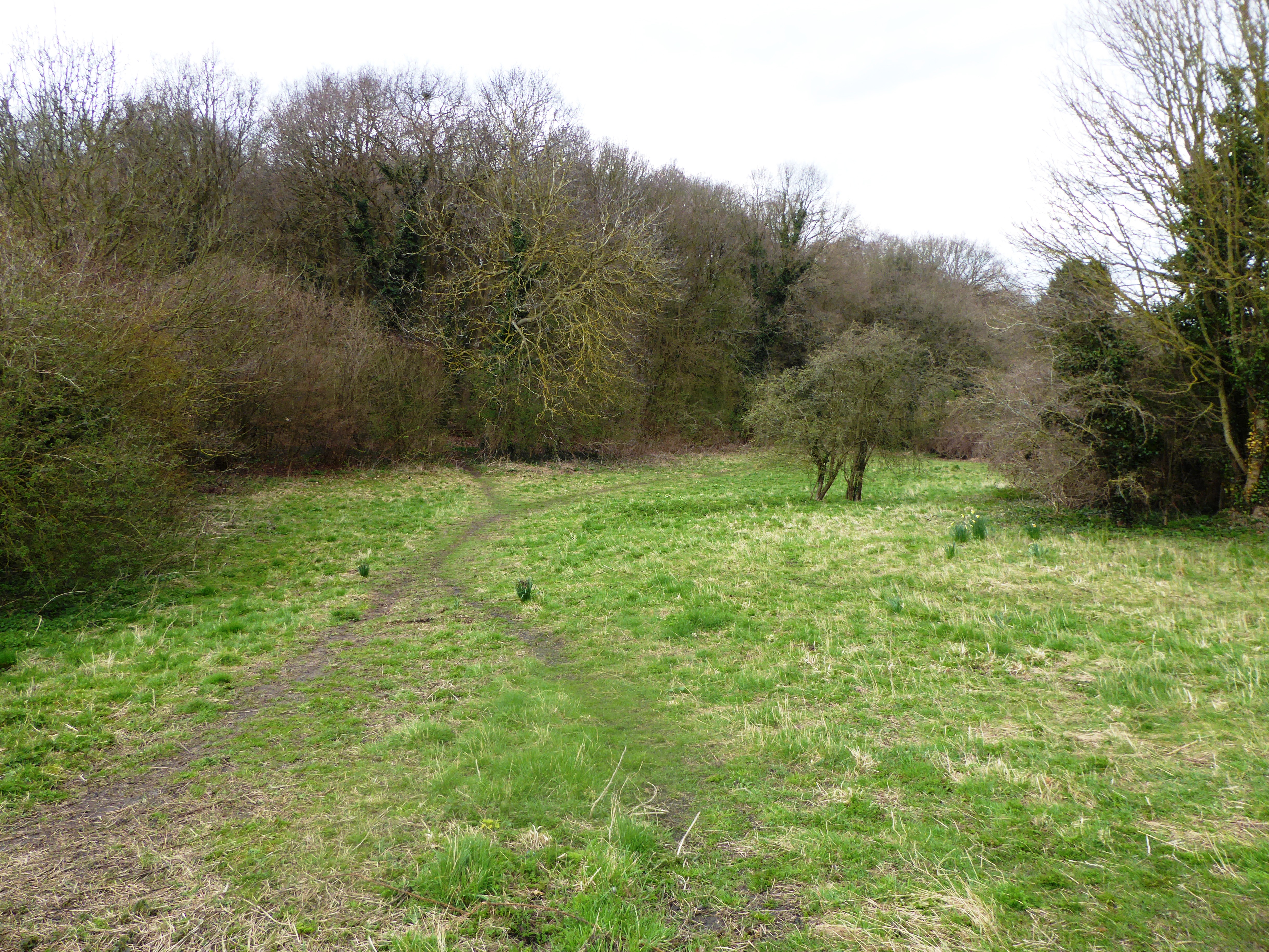
The village of Longfield is surrounded by picturesque countryside, offering residents and visitors a peaceful and idyllic setting. It is known for its charming rural landscapes, including rolling hills, woodlands, and farmland. The area is popular among nature enthusiasts, with several walking and cycling routes available to explore the surrounding beauty.
Despite its tranquil atmosphere, Longfield benefits from excellent transport links. The village is served by Longfield railway station, which provides regular train services to London Victoria, making it an attractive location for commuters. Additionally, the nearby A2 and M25 motorways offer convenient road access to London and other major cities in the region.
Longfield boasts a range of local amenities, including shops, restaurants, and pubs, providing residents with all the necessary conveniences. The village also has a primary school and a community center, which hosts various events and activities throughout the year.
Overall, Longfield is a charming village that offers a peaceful countryside lifestyle while remaining well-connected to nearby urban centers. Its stunning natural surroundings and friendly community make it an appealing place to live for those seeking a quieter pace of life within easy reach of the capital.
If you have any feedback on the listing, please let us know in the comments section below.
Longfield Images
Images are sourced within 2km of 51.398382/0.302145 or Grid Reference TQ6069. Thanks to Geograph Open Source API. All images are credited.


Longfield is located at Grid Ref: TQ6069 (Lat: 51.398382, Lng: 0.302145)
Administrative County: Kent
District: Dartford
Police Authority: Kent
What 3 Words
///daily.admiral.shade. Near Longfield, Kent
Nearby Locations
Related Wikis

DA postcode area
The DA postcode area, also known as the Dartford postcode area, is a group of eighteen postcode districts in England, within eleven post towns. These cover...
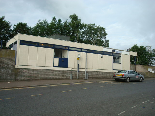
Longfield railway station
Longfield railway station is on the Chatham Main Line in England, serving the villages of Longfield, Hartley, and New Ash Green. It is 23 miles 30 chains...

Longfield
Longfield is a village in the Borough of Dartford, Kent, England. It is located 6 miles south east of Dartford and the same distance south-west of Gravesend...

Longfield Academy, Kent
Longfield Academy is an academy school in Longfield, Kent, England. The academy is operated by Leigh Academies Trust and occupies the site where Longfield...

Longfield Chalk Bank
Longfield Chalk Bank is a 2-hectare (4.9-acre) nature reserve in Longfield in Kent. It is managed by the Kent Wildlife Trust.This chalk grassland site...
Rectory Meadow
Rectory Meadow is a 2.2-hectare (5.4-acre) Local Nature Reserve in Hartley in Kent. It is owned by Hartley Parish Council and managed by the council...

Longfield Halt railway station
Longfield Halt (also known as Longfield Halt for Pinden and Westwood) was a railway station on the Gravesend West Line which served the settlement of Grubb...
Hartley, Sevenoaks
Hartley is a village and civil parish in the Sevenoaks district of Kent, England. It is located 7 miles (11 km) south west of Gravesend and the same distance...
Nearby Amenities
Located within 500m of 51.398382,0.302145Have you been to Longfield?
Leave your review of Longfield below (or comments, questions and feedback).