Beacon Hill
Settlement in Suffolk East Suffolk
England
Beacon Hill
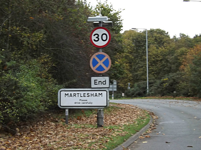
Beacon Hill is a prominent area located in Suffolk, England. Situated approximately 7 miles northwest of Ipswich, it is known for its historical significance and picturesque surroundings. The hill itself stands at an elevation of 97 meters, making it one of the highest points in the county.
The Beacon Hill area is rich in cultural heritage, with evidence of human settlement dating back to the prehistoric era. The hill is home to an ancient burial mound, believed to be from the Bronze Age, which adds to its historical allure. Moreover, it is said to have been used as a beacon site during the Roman and medieval periods, serving as a signaling point for military purposes.
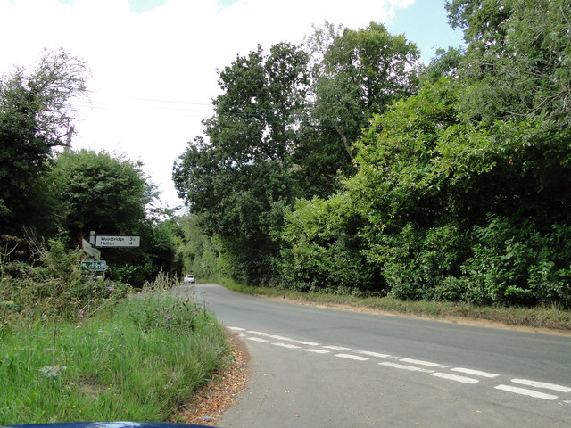
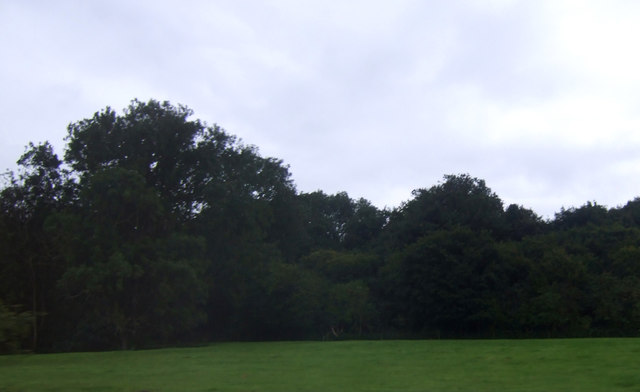
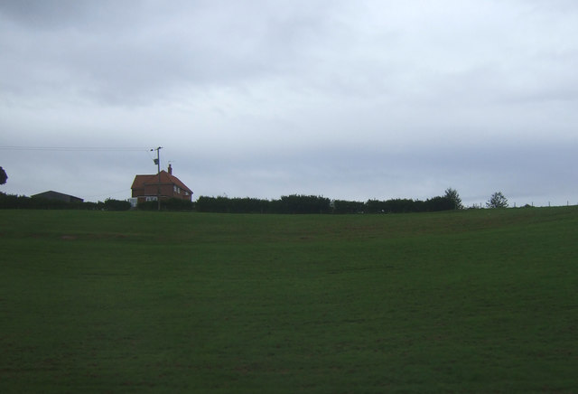
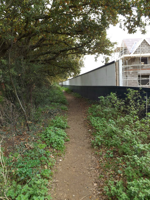
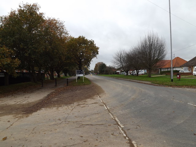
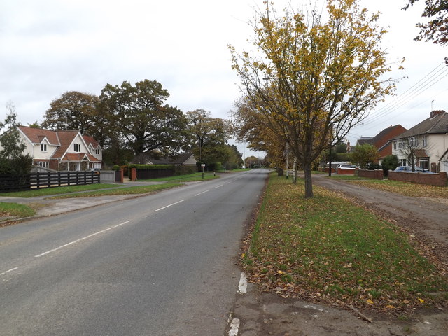
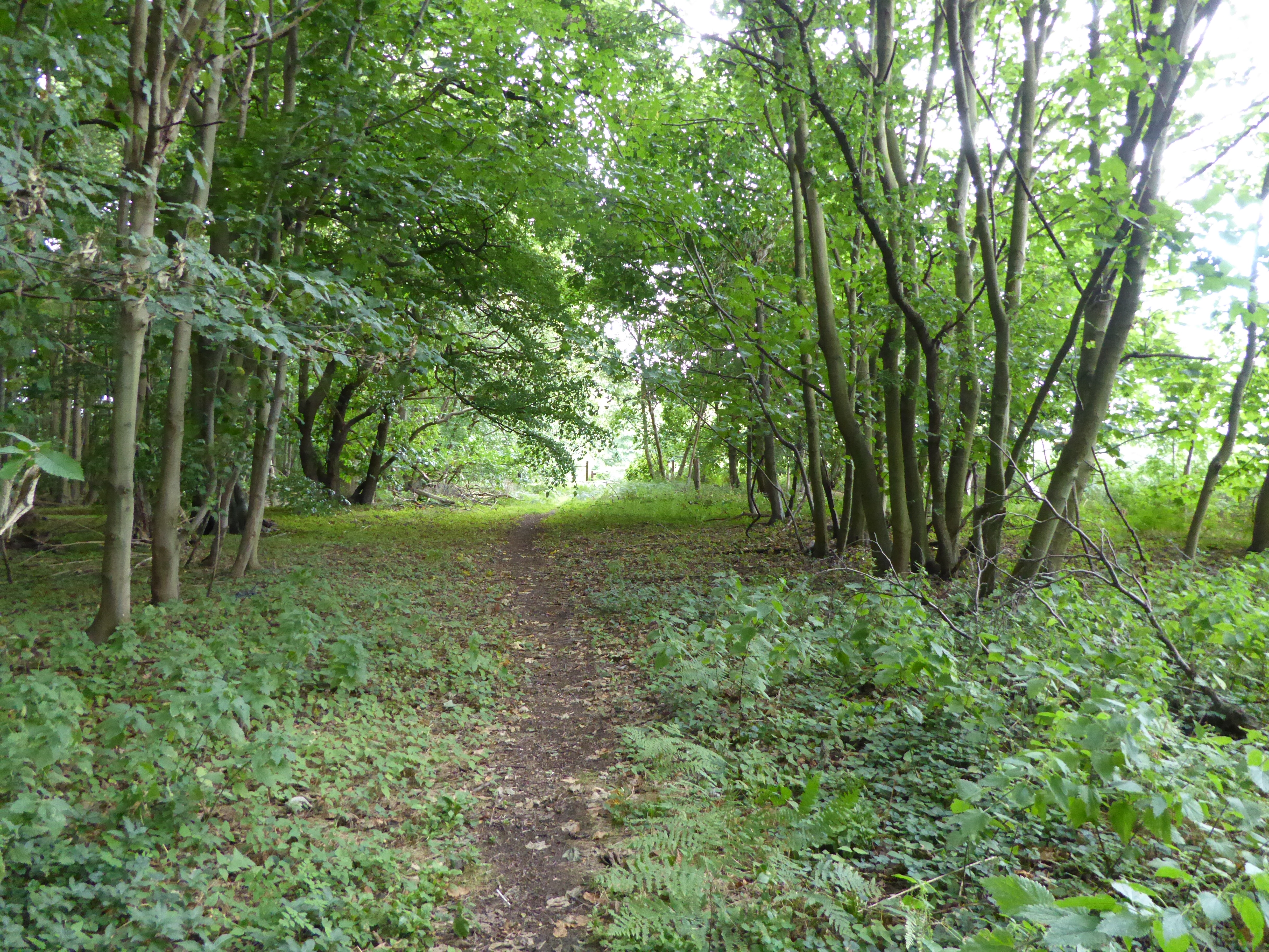
The natural beauty of Beacon Hill is another notable aspect. The surrounding landscape consists of lush greenery, rolling hills, and charming countryside views. This makes it a popular destination for outdoor enthusiasts, who can enjoy activities such as hiking, birdwatching, and picnicking in the area. The hilltop provides a panoramic vista of the Suffolk countryside, offering a serene and tranquil atmosphere.
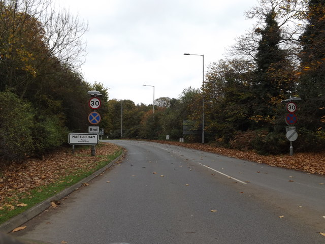
Additionally, Beacon Hill is situated within close proximity to several other attractions. The nearby villages of Wattisham and Bildeston offer quaint charm and traditional English architecture. The market town of Ipswich, with its array of shops, restaurants, and historical landmarks, is also easily accessible.
In conclusion, Beacon Hill in Suffolk is a historically significant and visually stunning area. With its ancient burial mound, beautiful landscapes, and proximity to other attractions, it is a destination that appeals to both history enthusiasts and nature lovers.
If you have any feedback on the listing, please let us know in the comments section below.
Beacon Hill Images
Images are sourced within 2km of 52.076428/1.2527968 or Grid Reference TM2347. Thanks to Geograph Open Source API. All images are credited.


Beacon Hill is located at Grid Ref: TM2347 (Lat: 52.076428, Lng: 1.2527968)
Administrative County: Suffolk
District: East Suffolk
Police Authority: Suffolk
What 3 Words
///trailing.supposed.eyeliner. Near Kesgrave, Suffolk
Nearby Locations
Related Wikis
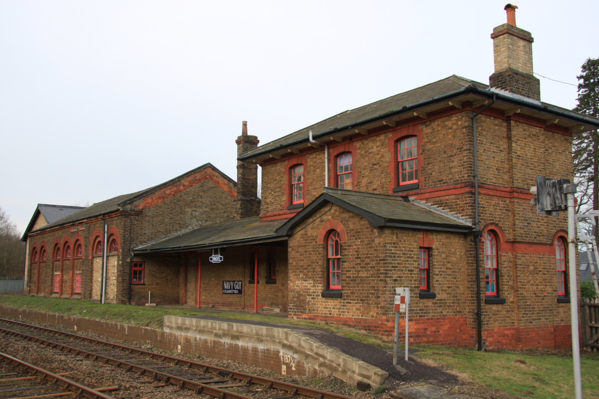
Bealings railway station
Bealings railway station was a station in Little Bealings, Suffolk, on the line between Ipswich and Lowestoft. It was 7 miles 20 chains (11.7 km) down...

Kesgrave Hall
Kesgrave Hall is a country house located in woodlands north of the town of Kesgrave, which itself is on the eastern outskirts of Ipswich, in Suffolk, England...

Kesgrave Hall School
Kesgrave Hall School was a private boys' boarding school in Kesgrave, England, catering for pupils with high academic potential who were unable to flourish...
Sinks Valley, Kesgrave
Sinks Valley is a 24.9-hectare (62-acre) biological Site of Special Scientific Interest in Kesgrave, on the eastern outskirts of Ipswich in Suffolk, United...
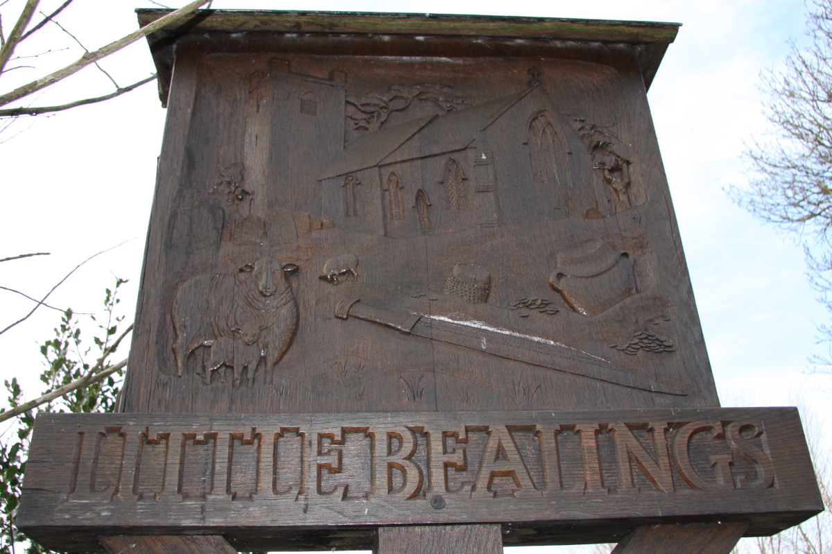
Little Bealings
Little Bealings is a village in Suffolk, England. It has a population of approximately 470 people living in around 185 households. The population had...

Claydon High School
Claydon High School is a relatively small mixed secondary school in Claydon, Suffolk, England. The school is on the outskirts of Ipswich, just off the...
Kesgrave High School
Kesgrave High School is a secondary school in Kesgrave in the English county of Suffolk. The school has over 1800 pupils aged 11 to 18. The school has...
Playford, Suffolk
Playford is a village and civil parish in the East Suffolk district, in Suffolk, England, on the outskirts of Ipswich. It has about 215 residents in 90...
Nearby Amenities
Located within 500m of 52.076428,1.2527968Have you been to Beacon Hill?
Leave your review of Beacon Hill below (or comments, questions and feedback).