Creagan a' Mhoulaich
Coastal Feature, Headland, Point in Argyllshire
Scotland
Creagan a' Mhoulaich
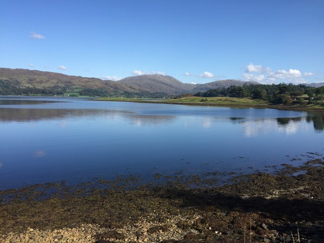
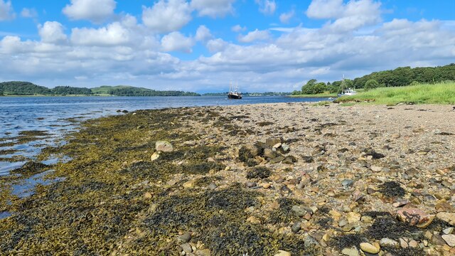
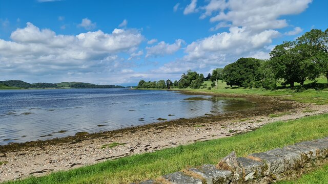
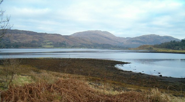
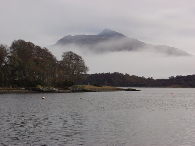
Creagan a' Mhoulaich is a prominent coastal feature located in Argyllshire, Scotland. It is a headland that juts out into the sea, forming a distinct point along the rugged coastline. The name "Creagan a' Mhoulaich" translates to "the rocky crags of the mill" in English, which accurately describes the geological composition of the area.
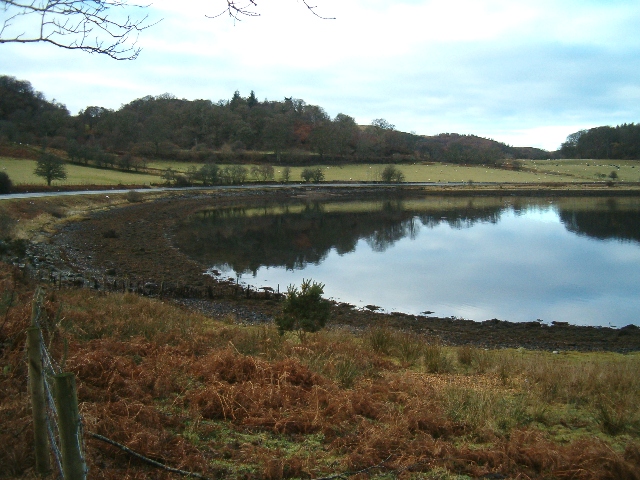
This headland is characterized by its steep cliffs, which rise dramatically from the crashing waves below. The ruggedness of the terrain is further accentuated by the presence of numerous rocky outcrops, adding to the natural beauty and allure of the area. The cliffs are composed of various types of rock, including granite and basalt, giving them a unique and picturesque appearance.
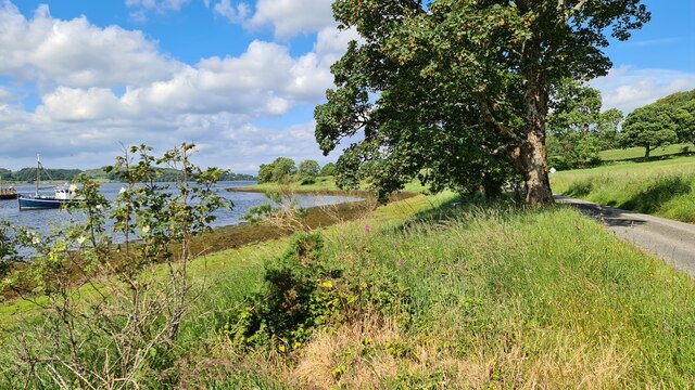
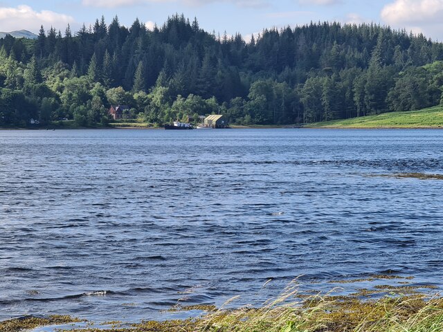
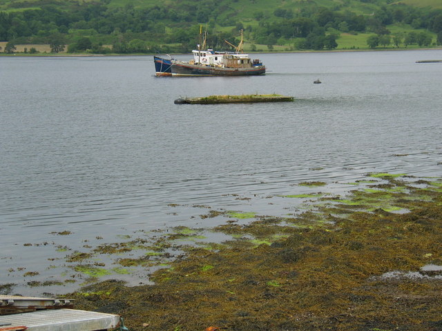
The headland offers breathtaking panoramic views of the surrounding landscape, including the vast expanse of the Atlantic Ocean and the nearby islands. On clear days, it is even possible to catch a glimpse of the Isle of Mull, adding to the sense of awe and wonder associated with this coastal feature.
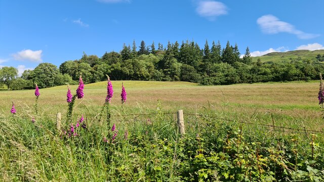
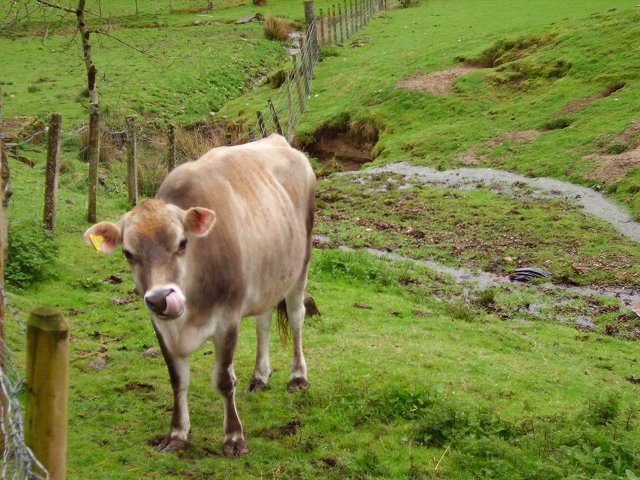
Creagan a' Mhoulaich is also a haven for wildlife. Seabirds, such as puffins and gannets, can often be spotted nesting on the cliffs, while seals and dolphins are occasionally seen swimming in the waters below. The area is also home to a diverse range of plant species, adapted to thrive in the harsh coastal environment.
Overall, Creagan a' Mhoulaich is a captivating and picturesque headland, offering visitors a chance to experience the raw beauty of Scotland's coastal landscape. Whether it's enjoying the dramatic views, observing the wildlife, or simply immersing oneself in the tranquility of the surroundings, this coastal feature has something to offer for everyone.
If you have any feedback on the listing, please let us know in the comments section below.
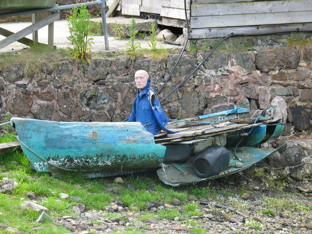
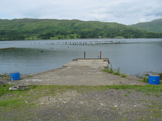
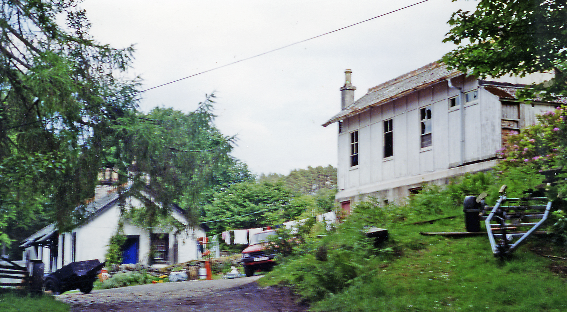
Creagan a' Mhoulaich Images
Images are sourced within 2km of 56.452013/-5.3245002 or Grid Reference NM9533. Thanks to Geograph Open Source API. All images are credited.
Creagan a' Mhoulaich is located at Grid Ref: NM9533 (Lat: 56.452013, Lng: -5.3245002)
Unitary Authority: Argyll and Bute
Police Authority: Argyll and West Dunbartonshire
What 3 Words
///niece.pages.operated. Near Oban, Argyll & Bute
Nearby Locations
Related Wikis
Ach-na-Cloich railway station
Ach-na-Cloich is a closed railway station located on the south shore of Loch Etive, in Argyll and Bute. Its site is located on the Oban route of the scenic...

Fearnoch
Fearnoch is a small village in Argyll and Bute, Scotland. It is located just off the A85 road, about 2 miles (3 km) west of the village of Taynuilt....
Ardchattan and Muckairn
Ardchattan and Muckairn is a civil parish within Argyll and Bute in Scotland. It lies north of Oban, bordering Loch Etive and includes Glen Ure, Glen Creran...

Connel Ferry railway station
Connel Ferry railway station is a railway station serving the village of Connel in western Scotland. This station is on the Oban branch of the West Highland...
Nearby Amenities
Located within 500m of 56.452013,-5.3245002Have you been to Creagan a' Mhoulaich?
Leave your review of Creagan a' Mhoulaich below (or comments, questions and feedback).