Am Fiaclachan

Coastal Feature, Headland, Point in Ross-shire

Scotland

Am Fiaclachan

Counryside at Laide
Counryside at Laide Credit: Eirian Evans

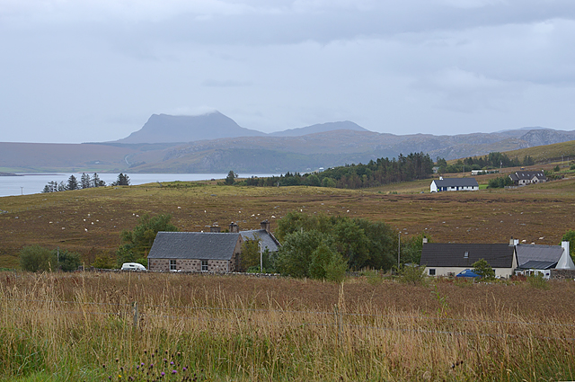
Am Fiaclachan is a prominent headland located in Ross-shire, a region in the Highlands of Scotland. Situated along the picturesque coastline, this coastal feature is renowned for its rugged beauty and stunning views of the surrounding landscape.

Am Fiaclachan is characterized by its steep cliffs that rise dramatically from the sea, creating a striking natural landmark. The headland is composed of various rock formations, including sandstone and shale, which have been shaped by the relentless pounding of the waves over centuries.

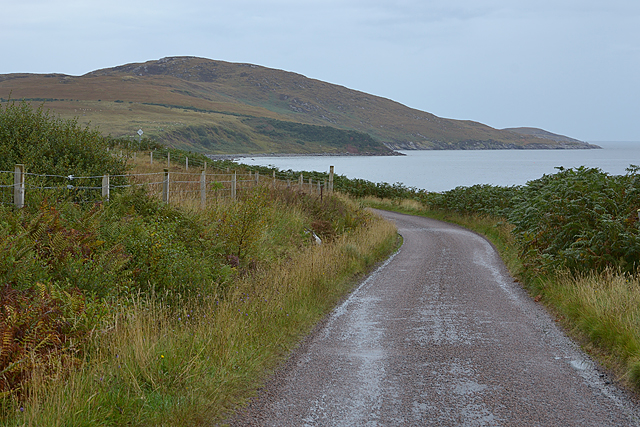
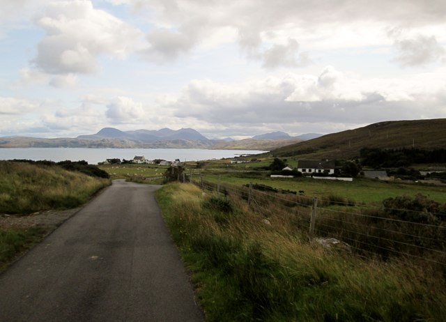
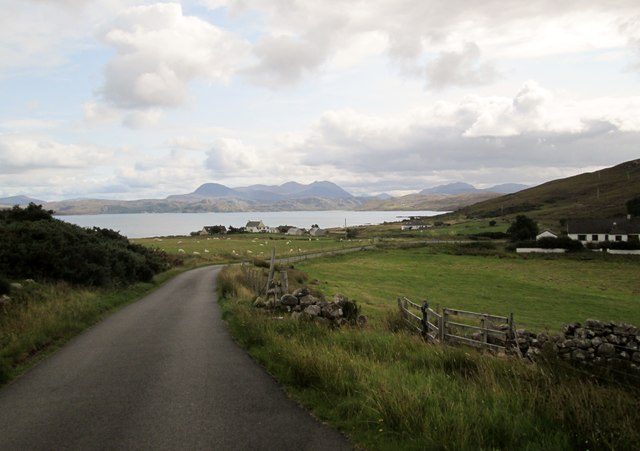
The headland offers breathtaking panoramic vistas of the North Sea and the surrounding coastline. On a clear day, visitors can see as far as the Isle of Skye and the Outer Hebrides. The area is also home to a diverse range of flora and fauna, with numerous seabirds nesting on the cliffs and seals often spotted lounging on nearby rocks.

Access to Am Fiaclachan is relatively easy, with a well-maintained footpath leading to the headland. The path is popular among hikers and nature enthusiasts, who come to explore the area's natural beauty and enjoy its peaceful ambiance. Along the way, visitors can expect to encounter wildflowers, heather-covered moorland, and perhaps even spot dolphins or porpoises playing in the sea.

Am Fiaclachan is a captivating coastal feature that showcases the raw power of nature and offers a tranquil escape from the bustling world. Its striking cliffs, breathtaking views, and abundant wildlife make it a must-visit destination for anyone exploring the stunning coastline of Ross-shire.

If you have any feedback on the listing, please let us know in the comments section below.

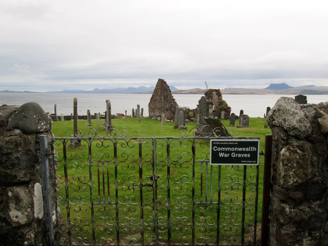
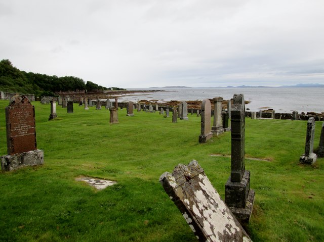
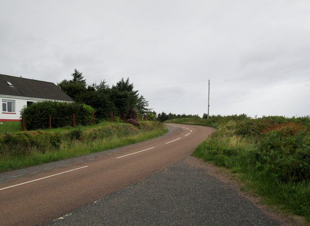
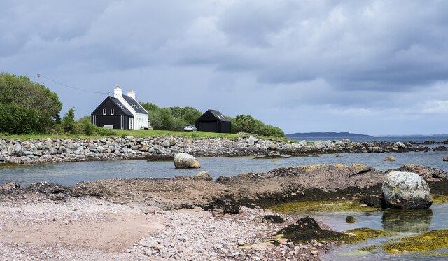
Am Fiaclachan Images

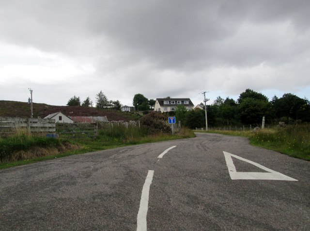
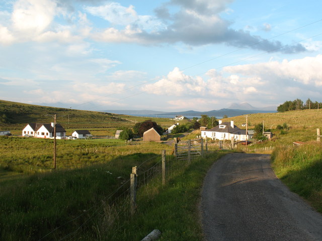
Images are sourced within 2km of 57.874455/-5.5376317 or Grid Reference NG9092. Thanks to Geograph Open Source API. All images are credited.

Counryside at Laide
Counryside at Laide
A foxglove at Gruinard Bay The foxglove (Digitalis purpurea) is a beautiful but poisonous flower common throughout Britain. I isolated the foxglove against the sea for a uniform background. For a wider view, see <a href="https://www.geograph.org.uk/photo/5834969">NG9291 : Gruinard Bay</a>.
A foxglove at Gruinard Bay
The foxglove (Digitalis purpurea) is a beautiful but poisonous flower common throughout Britain. I isolated the foxglove against the sea for a uniform background. For a wider view, see NG9291 : Gruinard Bay.
Wester Ross coastal scenery at First Coast A favourite of many a calendar. In the distance lie the line of hills extending from Sàil Mhòr to An Teallach.
Wester Ross coastal scenery at First Coast
A favourite of many a calendar. In the distance lie the line of hills extending from Sàil Mhòr to An Teallach.
The  old  burial  ground  and  remains  of  chapel
The old burial ground and remains of chapel
Old  burial  ground  Laide  with  Gruinard  Bay  beyond
Old burial ground Laide with Gruinard Bay beyond
Minor  road  from  Laide  to  Mellon  Udrigle
Minor road from Laide to Mellon Udrigle
Boulders at shore of Gruinard Bay Two lone boulders are prominent in the view at the seashore at Laide near to the south-western corner of Gruinard Bay.
Boulders at shore of Gruinard Bay
Two lone boulders are prominent in the view at the seashore at Laide near to the south-western corner of Gruinard Bay.
Entering Laide, A832 The A832 runs 127 miles from the Black Isle to Braemore Junction <a href="https://www.geograph.org.uk/photo/7232275">NH2077 : Braemore Junction</a>.
<span class="nowrap"><a title="https://www.sabre-roads.org.uk/wiki/index.php?title=A832" rel="nofollow ugc noopener" href="https://www.sabre-roads.org.uk/wiki/index.php?title=A832">Link</a><img style="margin-left:2px;" alt="External link" title="External link - shift click to open in new window" src="https://s1.geograph.org.uk/img/external.png" width="10" height="10"/></span>
Entering Laide, A832
The A832 runs 127 miles from the Black Isle to Braemore Junction NH2077 : Braemore Junction. LinkExternal link
View from a car park by the A832 Looking towards Rubha Mor
View from a car park by the A832
Looking towards Rubha Mor
Mobile home by the fir trees near Laide
Wet day by Gruinard Bay
South western approach into Laide The A832 approaches the scattered community. Gruinard Bay can be seen beyond, with the mountains of Coigach in the distance.
South western approach into Laide
The A832 approaches the scattered community. Gruinard Bay can be seen beyond, with the mountains of Coigach in the distance.
View towards Sand View over a few houses of Laide towards houses of the neighbouring community Sand. Beinn Ghobhlach can be seen in the distance.
View towards Sand
View over a few houses of Laide towards houses of the neighbouring community Sand. Beinn Ghobhlach can be seen in the distance.
The Achgarve road north of Laide Following the coast at this point. Meall nam Meallan is the hill in the distance, above the coastline of Gruinard Bay.
The Achgarve road north of Laide
Following the coast at this point. Meall nam Meallan is the hill in the distance, above the coastline of Gruinard Bay.
Moorland at Achgarve Achgarve is a crofting settlement near to Laide on the west side of Gruinard Bay, though it's likely that little actual crofting goes on there now. The view is to the east where, distantly, Sail Mhor can be seen beyond the sunlit house.
Moorland at Achgarve
Achgarve is a crofting settlement near to Laide on the west side of Gruinard Bay, though it's likely that little actual crofting goes on there now. The view is to the east where, distantly, Sail Mhor can be seen beyond the sunlit house.
Minor  road  down  to  Achgarve With Udrigle and Gruinard Bay beyond
Minor road down to Achgarve
With Udrigle and Gruinard Bay beyond
Minor  road  down  to  the  Achgarve  road  junction Small crofting communities dot the areas below the heather moorland
Minor road down to the Achgarve road junction
Small crofting communities dot the areas below the heather moorland
Minor  road  junction  to  Achgarve
Minor road junction to Achgarve
Show me another place!

Am Fiaclachan is located at Grid Ref: NG9092 (Lat: 57.874455, Lng: -5.5376317)

Unitary Authority: Highland

Police Authority: Highlands and Islands

What 3 Words

///smoking.wheels.awestruck. Near Gairloch, Highland

Related Wikis

Laide

Laide (Scottish Gaelic: An Leathad) is a small village in the northwest of the Highlands of Scotland. It is situated on the southern shore of Gruinard...

Sand, Highland

Sand (Scottish Gaelic: Sannda) is a small hamlet, located on the southern shore of Gruinard Bay, and lying to the west of the village of Laide in Ross...

Achgarve

Achgarve (Scottish Gaelic: An t-Achadh Garbh - the rough field) is a small coastal crofting and fishing hamlet, situated between Gruinard Bay and Loch...

First Coast, Highland

First Coast is a small settlement in Wester Ross in the North West Highlands of Scotland. It is situated on the south shore of Gruinard Bay and on the...

Nearby Amenities

Located within 500m of 57.874455,-5.5376317
Source: PGS
Lat/Long: 57.870328/-5.5404992
Source: PGS
Lat/Long: 57.8704989/-5.5405346
Source: PGS
Lat/Long: 57.870801/-5.5409213
Source: PGS
Lat/Long: 57.8718743/-5.5401456
Source: PGS
Lat/Long: 57.8721513/-5.5398667
Source: PGS
Lat/Long: 57.8722931/-5.5398554
Source: PGS
Lat/Long: 57.8727595/-5.5399241
Power: pole
Lat/Long: 57.8722214/-5.5447876
Power: pole
Lat/Long: 57.872885/-5.5450835
Power: pole
Lat/Long: 57.8735196/-5.5453911
Power: pole
Lat/Long: 57.874119/-5.5456558
Power: pole
Lat/Long: 57.8746439/-5.5458953
The data included in this document is from www.openstreetmap.org. The data is made available under ODbL.

Have you been to Am Fiaclachan?

Leave your review of Am Fiaclachan below (or comments, questions and feedback).