An Dubh Airde

Coastal Feature, Headland, Point in Ross-shire

Scotland

An Dubh Airde

Signpost for track to Slaggan Bay
Signpost for track to Slaggan Bay Credit: Graeme Yuill

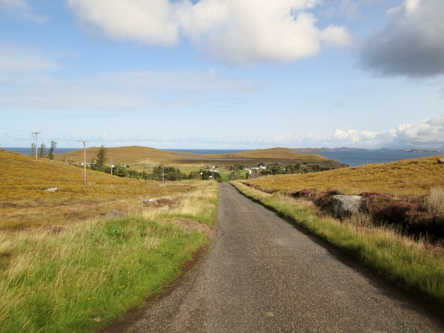
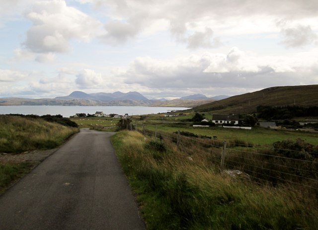
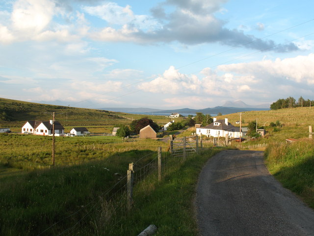
An Dubh Airde is a prominent coastal feature located in Ross-shire, Scotland. It is classified as a headland or point, protruding into the North Atlantic Ocean. Situated on the western coast, it offers breathtaking views of the surrounding landscape and the sea.

The geography of An Dubh Airde is characterized by towering cliffs that rise sharply from the sea, creating a dramatic and rugged coastline. The headland is composed of layered rocks, primarily sandstone and shale, which have been shaped over centuries by the forces of erosion. This has resulted in the formation of caves, arches, and stacks along the coastal edge.

The area is known for its rich biodiversity and is a haven for various bird species, including sea birds such as gulls, fulmars, and puffins. It also serves as a breeding ground for several marine animals, including seals and dolphins, which can often be spotted in the surrounding waters.

An Dubh Airde is a popular destination for nature lovers and outdoor enthusiasts. The headland offers numerous hiking trails, providing visitors with an opportunity to explore the stunning coastal scenery and observe the diverse wildlife. The area is also a favorite spot for rock climbers, who are drawn to the challenging cliffs and unique rock formations.

In addition to its natural beauty, An Dubh Airde is steeped in history and folklore. It is believed to have been a site of ancient settlements and has connections to local legends and myths. The headland has also witnessed significant historical events, including Viking raids and naval battles.

Overall, An Dubh Airde is a remarkable coastal feature, boasting awe-inspiring landscapes, diverse wildlife, and a rich cultural heritage.

If you have any feedback on the listing, please let us know in the comments section below.

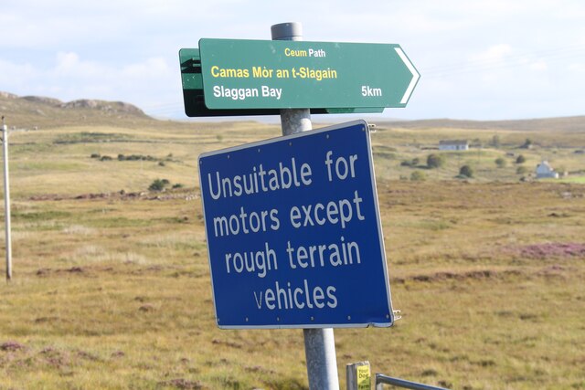
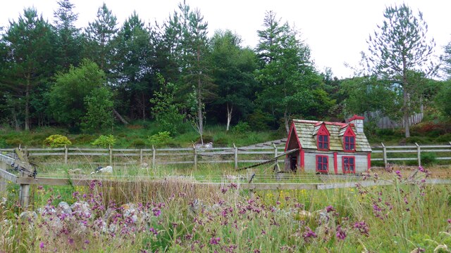
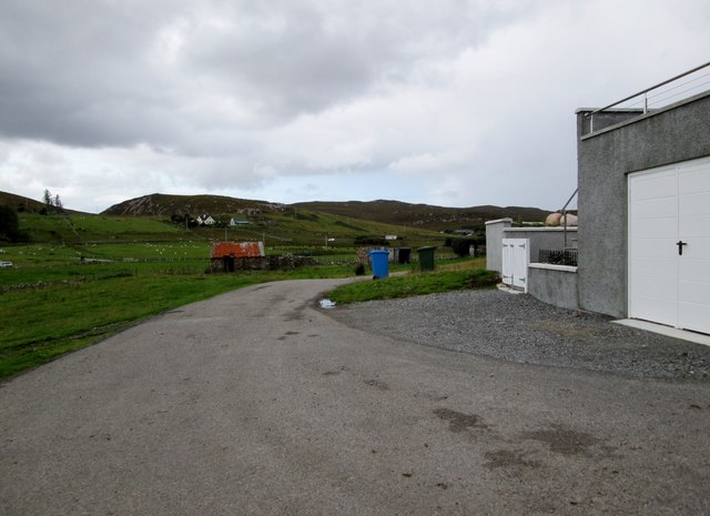
An Dubh Airde Images

Images are sourced within 2km of 57.898827/-5.549163 or Grid Reference NG8995. Thanks to Geograph Open Source API. All images are credited.

Signpost for track to Slaggan Bay
Boardwalk to the beach at Mellon Udrigle What a splendid name - Mellon Udrigle!  According to Google, the name means 'little hill of Udrigle'.
Boardwalk to the beach at Mellon Udrigle
What a splendid name - Mellon Udrigle! According to Google, the name means 'little hill of Udrigle'.
The beach at Mellon Udrigle What a splendid name - Mellon Udrigle! According to Google, the name means 'little hill of Udrigle'.
The beach at Mellon Udrigle
What a splendid name - Mellon Udrigle! According to Google, the name means 'little hill of Udrigle'.
The road to Opinan Confusingly, there is another Opinan in this part of NW Scotland.  It is on the road to Red Point.
The road to Opinan
Confusingly, there is another Opinan in this part of NW Scotland. It is on the road to Red Point.
On the left, Mallie's Cottage, on the road to Opinan
Duck (or hen?) house by the road to Opinan
End of the road,  Mellon Udrigle
End of the road, Mellon Udrigle
Signs at Mellon Udrigle road end One discourages parking in the area reserved for turning, the other indicates a circular walking route which heads up the coast from here.
Signs at Mellon Udrigle road end
One discourages parking in the area reserved for turning, the other indicates a circular walking route which heads up the coast from here.
Distinctive rock, Mellon Udrigle
Mellon  Udrigle  calm  sea  and  empty  sand On very rocky shorelines these beaches are little gems
Mellon Udrigle calm sea and empty sand
On very rocky shorelines these beaches are little gems
Seaward  view  from  rocks  Mellon  Udrigle  beach
Seaward view from rocks Mellon Udrigle beach
Rocks  above  and  below  the  water  Mellon  Udrigle  beach These rocks are at the southern end of the beach, which can be seen sweeping round from the left
Rocks above and below the water Mellon Udrigle beach
These rocks are at the southern end of the beach, which can be seen sweeping round from the left
To  Mellon  Udrigle  with  a  view  of  the  coastline Moorland and freshwater lochs around this crofting community
To Mellon Udrigle with a view of the coastline
Moorland and freshwater lochs around this crofting community
Mellon  Udrigle  and village  sign  in  sight A small crofting community with a wonderful beach, more than five people on the beach you have picked a busy day
Mellon Udrigle and village sign in sight
A small crofting community with a wonderful beach, more than five people on the beach you have picked a busy day
The  ascent  out  of  Mellon  Udrigle  toward  Laide The junction to the right goes to Opinan
The ascent out of Mellon Udrigle toward Laide
The junction to the right goes to Opinan
Minor  road  in  Mellon  Udrigle Looking back from the drive entrance to The Old Schoolhouse
Minor road in Mellon Udrigle
Looking back from the drive entrance to The Old Schoolhouse
Rough  grass  area  in  Mellon  Udrigle With the beach beyond
Rough grass area in Mellon Udrigle
With the beach beyond
Minor  road  down  to  Achgarve With Udrigle and Gruinard Bay beyond
Minor road down to Achgarve
With Udrigle and Gruinard Bay beyond
Show me another place!

An Dubh Airde is located at Grid Ref: NG8995 (Lat: 57.898827, Lng: -5.549163)

Unitary Authority: Highland

Police Authority: Highlands and Islands

What 3 Words

///accent.resonates.hairstyle. Near Gairloch, Highland

Related Wikis

Mellon Udrigle

Mellon Udrigle (Scottish Gaelic: Meallan Ùdraigil or Na Meall) is a small remote coastal tourist, fishing and crofting hamlet on the north west coast of...

Opinan, Laide, Highland

Opinan is a remote scattered crofting hamlet, in Achnasheen, Ross-shire, Scottish Highlands and is in the Scottish council area of Highland. The village...

Achgarve

Achgarve (Scottish Gaelic: An t-Achadh Garbh - the rough field) is a small coastal crofting and fishing hamlet, situated between Gruinard Bay and Loch...

Rubha Mòr

Rubha Mòr is a remote peninsula in west Scotland, in the western region of Ross and Cromarty. The peninsula stretches from Greenstone Point in the north...

Nearby Amenities

Located within 500m of 57.898827,-5.549163
Created By: almien_coastlines
Source: PGS
Lat/Long: 57.894572/-5.550897
Created By: almien_coastlines
Source: PGS
Lat/Long: 57.894705/-5.550667
Created By: almien_coastlines
Source: PGS
Lat/Long: 57.895226/-5.550223
Created By: almien_coastlines
Source: PGS
Lat/Long: 57.895482/-5.550241
Created By: almien_coastlines
Source: PGS
Lat/Long: 57.895738/-5.550259
Created By: almien_coastlines
Source: PGS
Lat/Long: 57.89587/-5.550027
Created By: almien_coastlines
Source: PGS
Lat/Long: 57.896003/-5.549797
Created By: almien_coastlines
Source: PGS
Lat/Long: 57.896135/-5.549565
Created By: almien_coastlines
Source: PGS
Lat/Long: 57.896268/-5.549335
Source: PGS
Lat/Long: 57.897117/-5.5486089
Source: PGS
Lat/Long: 57.898248/-5.5484293
Source: PGS
Lat/Long: 57.8988876/-5.5484813
Source: PGS
Lat/Long: 57.8992409/-5.5481882
Source: PGS
Lat/Long: 57.8992581/-5.5484478
Created By: almien_coastlines
Source: PGS
Lat/Long: 57.899214/-5.549302
Created By: almien_coastlines
Source: PGS
Lat/Long: 57.899067/-5.550254
Source: PGS
Lat/Long: 57.8996499/-5.5495283
Created By: almien_coastlines
Source: PGS
Lat/Long: 57.899844/-5.549828
Created By: almien_coastlines
Source: PGS
Lat/Long: 57.900061/-5.551767
Created By: almien_coastlines
Source: PGS
Lat/Long: 57.900322/-5.551546
Created By: almien_coastlines
Source: PGS
Lat/Long: 57.900454/-5.551314
Source: PGS
Lat/Long: 57.900479/-5.5511324
Created By: almien_coastlines
Source: PGS
Lat/Long: 57.900719/-5.550852
Source: PGS
Lat/Long: 57.900996/-5.5505833
Created By: almien_coastlines
Source: PGS
Lat/Long: 57.901108/-5.55064
Source: PGS
Lat/Long: 57.9010608/-5.5513025
Created By: almien_coastlines
Source: PGS
Lat/Long: 57.9016/-5.551637
Source: PGS
Lat/Long: 57.9020466/-5.5512639
Source: PGS
Lat/Long: 57.9019736/-5.5522962
Source: PGS
Lat/Long: 57.9018201/-5.5528253
Source: PGS
Lat/Long: 57.901478/-5.5534422
Source: PGS
Lat/Long: 57.9013624/-5.553998
Source: PGS
Lat/Long: 57.9010296/-5.5548955
Source: PGS
Lat/Long: 57.9008977/-5.5551246
Source: PGS
Lat/Long: 57.9004592/-5.5553989
Source: PGS
Lat/Long: 57.900579/-5.5562846
Power: pole
Lat/Long: 57.8992101/-5.5567298
The data included in this document is from www.openstreetmap.org. The data is made available under ODbL.

Have you been to An Dubh Airde?

Leave your review of An Dubh Airde below (or comments, questions and feedback).