Beacon Hill

Settlement in Buckinghamshire

England

Beacon Hill

View of River Wye from Ryemead Way, Wycombe Marsh Taken from the bridge in Ryemead Way, this photo shows the River Wye looking west towards High Wycombe. A weir can be seen in the distance.
View of River Wye from Ryemead Way, Wycombe Marsh Credit: David Hillas

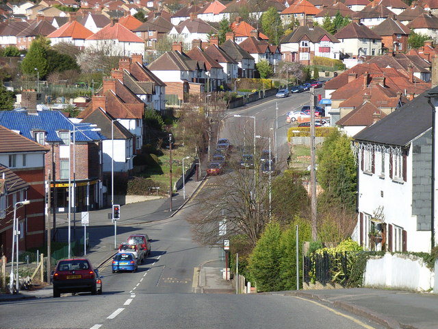
Beacon Hill is a tranquil village located in the county of Buckinghamshire, England. Situated in the Chiltern Hills, it offers breathtaking views of the surrounding countryside, making it a popular destination for nature lovers and hikers alike.

The village is characterized by its charming and picturesque atmosphere, with its traditional stone cottages and well-maintained gardens. It has a small but close-knit community that takes pride in preserving the area's natural beauty and rich history.

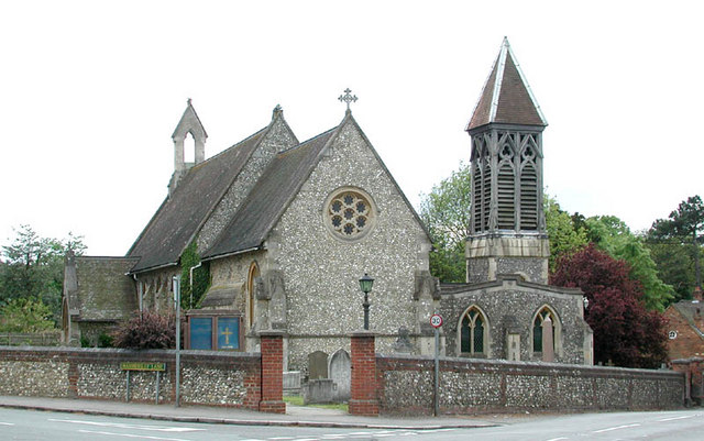
One of Beacon Hill's notable landmarks is the Beacon Hill Monument, a tall stone structure that stands proudly atop the hill and serves as a reminder of the area's military past. This monument played a crucial role during World War II as a beacon for signaling enemy aircraft.

The village is also home to a quaint village pub, which serves as a gathering place for locals and visitors alike. Here, one can enjoy a cozy atmosphere, traditional pub food, and a selection of local ales and spirits.

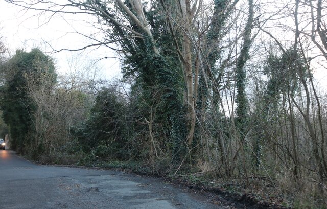
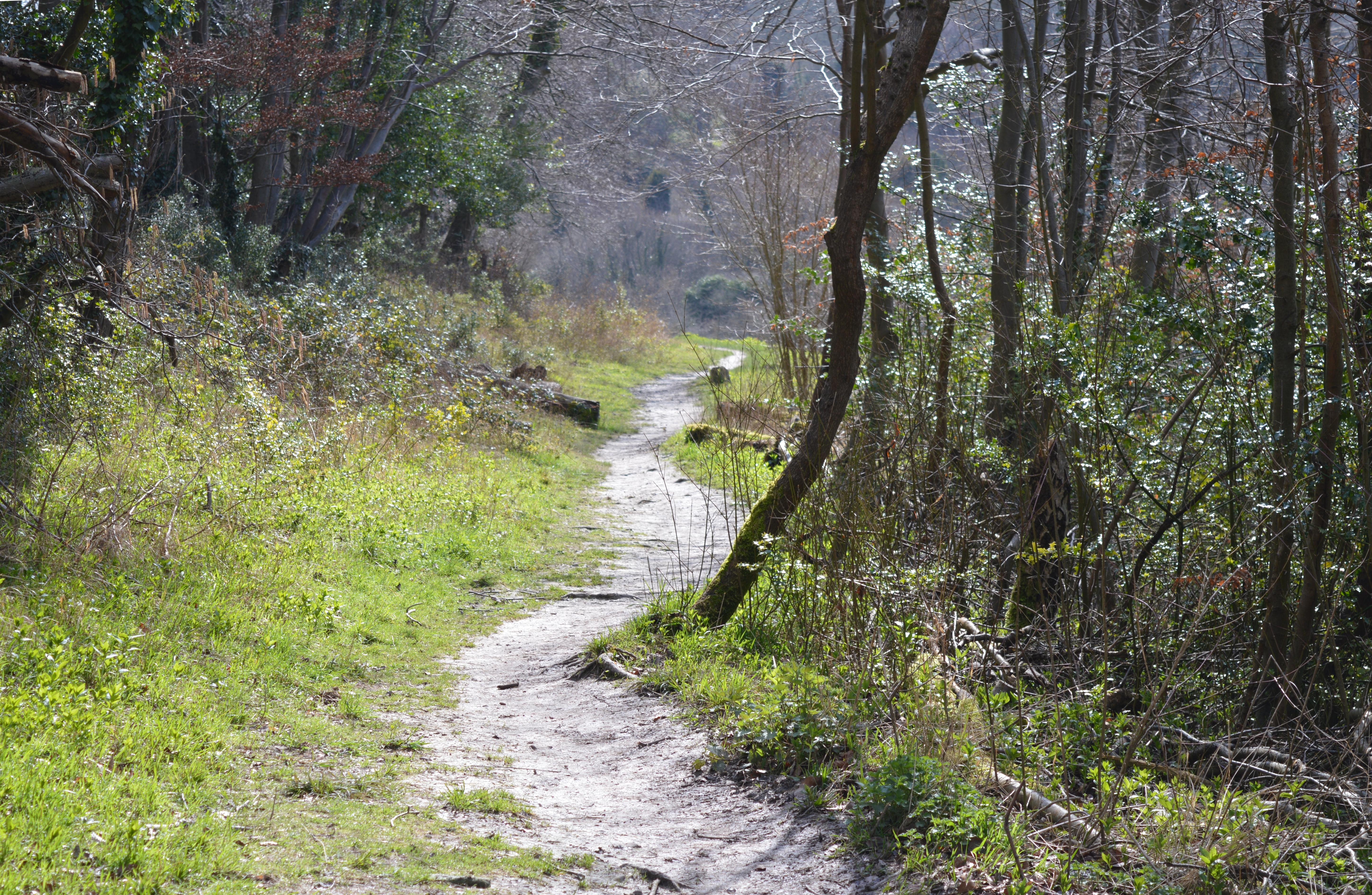
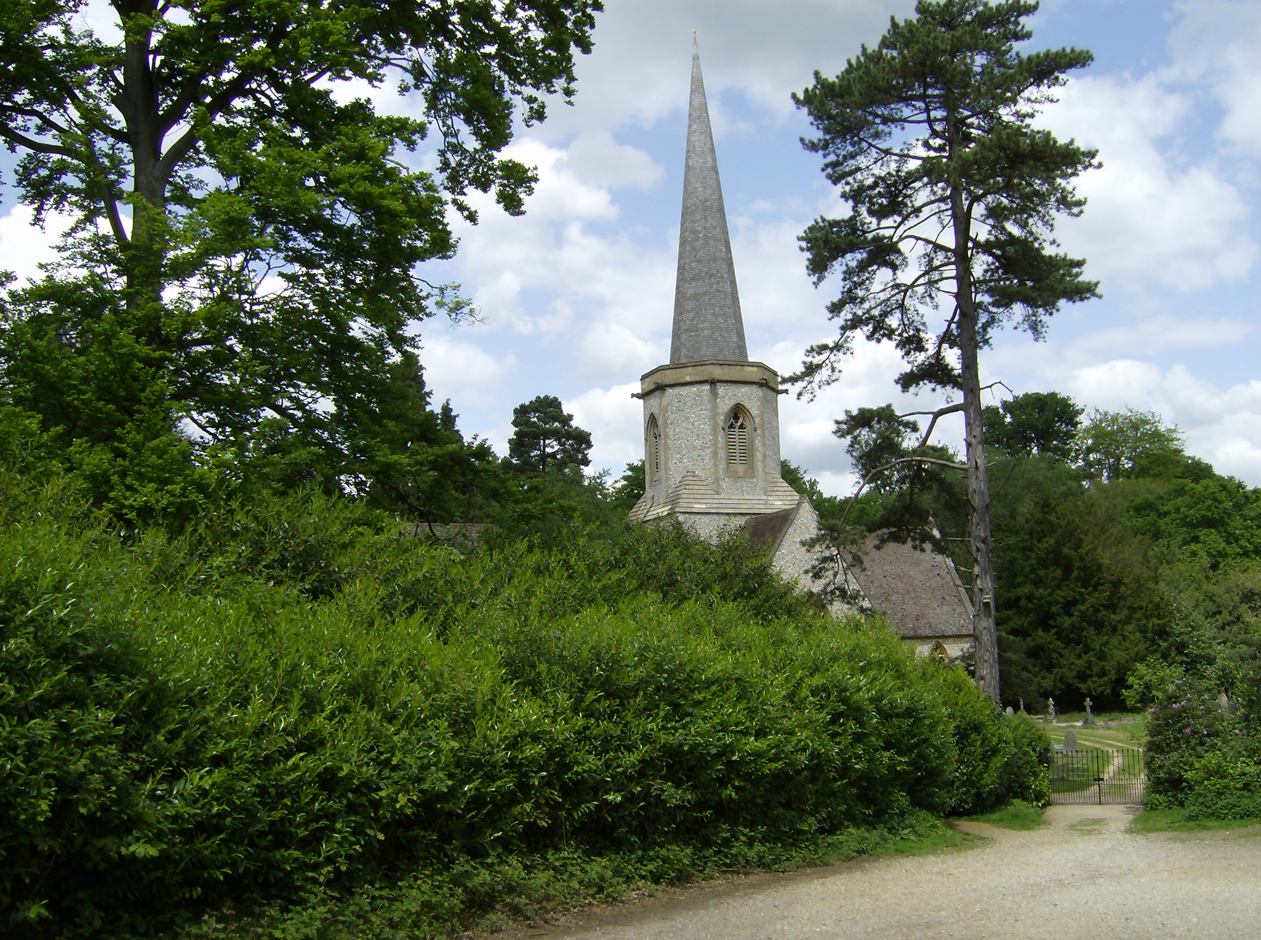
For outdoor enthusiasts, Beacon Hill offers an extensive network of footpaths and bridleways that wind through the rolling hills and ancient woodlands. These paths provide an opportunity to explore the area's diverse wildlife and plant species.

In conclusion, Beacon Hill is a charming and idyllic village nestled in the heart of Buckinghamshire's countryside. With its stunning views, rich history, and close community, it is a hidden gem that offers a peaceful retreat from the hustle and bustle of city life.

If you have any feedback on the listing, please let us know in the comments section below.

Beacon Hill Images

Images are sourced within 2km of 51.628627/-0.7011541 or Grid Reference SU9093. Thanks to Geograph Open Source API. All images are credited.

View of River Wye from Ryemead Way, Wycombe Marsh Taken from the bridge in Ryemead Way, this photo shows the River Wye looking west towards High Wycombe. A weir can be seen in the distance.
View of River Wye from Ryemead Way, Wycombe Marsh
Taken from the bridge in Ryemead Way, this photo shows the River Wye looking west towards High Wycombe. A weir can be seen in the distance.
View of River Wye and Weir near Wycombe Retail Park, Wycombe Marsh Taken from the A40 London Road, this photo shows the River Wye and weir looking west towards High Wycombe.
View of River Wye and Weir near Wycombe Retail Park, Wycombe Marsh
Taken from the A40 London Road, this photo shows the River Wye and weir looking west towards High Wycombe.
Sculpture at the former Wycombe Paper Mill site, Wycombe Marsh This metal sculpture is located by the Wycombe Retail Park off the A40 London Road. It has the following wording:
                         
            Former Paper Mill Site
 Wycombe Marsh Paper Mill, one of 29 Paper Mills and 14 Corn Mills sited on the River Wye. 
 Stood on this site since before 1724, producing hand made paper. In 1818 the mill passed into 
 the  hands of John Hay, a man of vision who installed the first paper making machine.
 On Monday 29th November 1830, 80 disenfranchised papermakers, led by Thomas Blizzard
 and John Sawrney, took the law into their own hands and smashed machines in all the
 mechanised mills. Despite John Hay's appeals and the dismantling of machinery, the mob
 entered the Mill and smashed the machines. Special police, soldiers and the Royal Staghound
 Hunt halted the mob and arrested the papermakers. More than 20 were deported and Blizzard
 and Sawrney only escaped the gallows after a public outcry. John Hay's actions limited the
 damage and saved the Mill.
 Disaster struck again in 1862 when part of the Mill burned down. However, once again, it was 
 restored.
 In 1919 the Mill was leased to the THR National Paper & Pulp Company who operated the site
 until 1936 when the firm went bankrupt.
 In 1936 the Mill became Wycombe Marsh Paper Mill and was extensively modernised. The 
 Second World War brought further change when the Admiralty took over the Mill to produce
 ammunition paper and the production of paper for cigarette filters, setting the stage for the
 next chapter in the Mill's history.
 Hugo Bunzl started a cigarette filter business at the end of the war and by 1956 the Mill 
 became a subsidiary of Bunzl Pulp and Paper Ltd. The business flourished and a Royal Visit
 in 1974 celebrated the 250th anniversary of the Mill.
 However the future of the Mill declined and in 1993 the Mill was closed.
 The site was finally sold in 1999 and the current development completed by Kennet Properties
 Ltd in 2005.
 This sculpture is dedicated to the people who built, worked and passionately cared about the
 production of fine paper along the River Wye.
                                                                                                                      01 November 2006
Sculpture at the former Wycombe Paper Mill site, Wycombe Marsh
This metal sculpture is located by the Wycombe Retail Park off the A40 London Road. It has the following wording: Former Paper Mill Site Wycombe Marsh Paper Mill, one of 29 Paper Mills and 14 Corn Mills sited on the River Wye. Stood on this site since before 1724, producing hand made paper. In 1818 the mill passed into the hands of John Hay, a man of vision who installed the first paper making machine. On Monday 29th November 1830, 80 disenfranchised papermakers, led by Thomas Blizzard and John Sawrney, took the law into their own hands and smashed machines in all the mechanised mills. Despite John Hay's appeals and the dismantling of machinery, the mob entered the Mill and smashed the machines. Special police, soldiers and the Royal Staghound Hunt halted the mob and arrested the papermakers. More than 20 were deported and Blizzard and Sawrney only escaped the gallows after a public outcry. John Hay's actions limited the damage and saved the Mill. Disaster struck again in 1862 when part of the Mill burned down. However, once again, it was restored. In 1919 the Mill was leased to the THR National Paper & Pulp Company who operated the site until 1936 when the firm went bankrupt. In 1936 the Mill became Wycombe Marsh Paper Mill and was extensively modernised. The Second World War brought further change when the Admiralty took over the Mill to produce ammunition paper and the production of paper for cigarette filters, setting the stage for the next chapter in the Mill's history. Hugo Bunzl started a cigarette filter business at the end of the war and by 1956 the Mill became a subsidiary of Bunzl Pulp and Paper Ltd. The business flourished and a Royal Visit in 1974 celebrated the 250th anniversary of the Mill. However the future of the Mill declined and in 1993 the Mill was closed. The site was finally sold in 1999 and the current development completed by Kennet Properties Ltd in 2005. This sculpture is dedicated to the people who built, worked and passionately cared about the production of fine paper along the River Wye. 01 November 2006
Flats on Cock Lane, Wycombe Marsh Compare and contrast. <a title="https://www.geograph.org.uk/photo/5663695" href="https://www.geograph.org.uk/photo/5663695">Link</a>
Flats on Cock Lane, Wycombe Marsh
Compare and contrast. Link
Car Park in Gomm's Wood
Cock Lane, Wycombe Marsh By Gomm's Wood
Cock Lane, Wycombe Marsh
By Gomm's Wood
Cock Lane, Wycombe Marsh
Cock Lane at the junction of Olympic Way
Cock Lane, Wycombe Marsh
Bungalow on Cock Lane, Wycombe Marsh
Westfields House, Wycombe Marsh This block was converted from offices to flats in 2016
Westfields House, Wycombe Marsh
This block was converted from offices to flats in 2016
Westfields House, Wycombe Marsh This block was converted from offices to flats in 2016
Westfields House, Wycombe Marsh
This block was converted from offices to flats in 2016
Shell petrol station on London Road, Wycombe Marsh
Railway bridge over Gomm Road Gomm Road is a minor road leading to and industrial complex, and as such, seems to be used mainly for vehicle parking.  The railway was built in the early 1900's as the Great Western/Great Central Joint Line from Ashendon Junction to Northolt as an alternative route for Great Central trains to reach London Marylebone Station and a shorter route to Birmingham for the Great Western Railway.
Railway bridge over Gomm Road
Gomm Road is a minor road leading to and industrial complex, and as such, seems to be used mainly for vehicle parking. The railway was built in the early 1900's as the Great Western/Great Central Joint Line from Ashendon Junction to Northolt as an alternative route for Great Central trains to reach London Marylebone Station and a shorter route to Birmingham for the Great Western Railway.
London Road, High Wycombe
DFS on London Road, High Wycombe
A40 Tyres on London Road, High Wycombe
Tesco Express on London Road, High Wycombe
Show me another place!

Beacon Hill is located at Grid Ref: SU9093 (Lat: 51.628627, Lng: -0.7011541)

Unitary Authority: Buckinghamshire

Police Authority: Thames Valley

What 3 Words

///handover.soccer.voucher. Near High Wycombe, Buckinghamshire

Related Wikis

Gomm's Wood

Gomm's Wood is an 18.1 hectares (45 acres) Local Nature Reserve in High Wycombe in Buckinghamshire. It is owned and managed by Wycombe District Council...

Gomm Valley

Gomm Valley is a 4.1-hectare (10-acre) biological Site of Special Scientific Interest in Micklefield, a district of High Wycombe in Buckinghamshire. It...

Micklefield, High Wycombe

Micklefield is a ward of High Wycombe, Buckinghamshire, located on the eastern side of the town. Surrounded on one side by the Chiltern Hills and King...

Bowerdean, Micklefield and Totteridge

Bowerdean, Micklefield and Totteridge is a political division of Buckinghamshire County Council in Buckinghamshire, England. It is a two-seat constituency...

Penn & Tylers Green F.C.

Penn & Tylers Green F.C. are a football club based in Penn, near Beaconsfield, England. They were established in 1905 and were the founding members of...

Tylers Green

Tylers Green is a village in the civil parish of Chepping Wycombe, Buckinghamshire, England. The village is adjoined on one side by Hazlemere and on the...

Beacon Hill, Buckinghamshire

The hamlet of Beacon Hill, is situated off the B474 near Penn and on the outskirts of High Wycombe Buckinghamshire. Nearby is the Golf Course at Wycombe...

Penn, Buckinghamshire

Penn is a village and civil parish in Buckinghamshire, England, about 3 miles (4.8 km) north-west of Beaconsfield and 4 miles (6.4 km) east of High Wycombe...
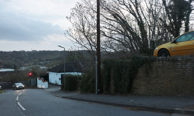
Nearby Amenities

Located within 500m of 51.628627,-0.7011541
Passing Place
Lat/Long: 51.6292507/-0.7069311
Passing Place
Lat/Long: 51.6311021/-0.7051581
Barrier: kissing_gate
Lat/Long: 51.6313033/-0.7049204
Barrier: kissing_gate
Lat/Long: 51.6313536/-0.7050546
Barrier: stile
Lat/Long: 51.6314802/-0.7047073
Barrier: stile
Lat/Long: 51.6315084/-0.704605
Cock Lane Pumping Station
Man Made: water_works
Operator: Thames Water
Lat/Long: 51.6324729/-0.703936
Barrier: kissing_gate
Bicycle: yes
Foot: yes
Lat/Long: 51.6277771/-0.7082399
Passing Place
Lat/Long: 51.6283075/-0.7076029
Passing Place
Lat/Long: 51.6288328/-0.7072127
Passing Place
Lat/Long: 51.6297943/-0.7065542
Barrier: kissing_gate
Bicycle: yes
Foot: yes
Lat/Long: 51.631714/-0.7048657
Passing Place
Lat/Long: 51.6316952/-0.7046814
Barrier: kissing_gate
Bicycle: yes
Foot: yes
Lat/Long: 51.6324981/-0.7045848
Bench
Backrest: no
Lat/Long: 51.6308249/-0.7062645
Waste Basket
Waste: dog_excrement
Lat/Long: 51.6325044/-0.7046632
Waste Basket
Waste: trash
Lat/Long: 51.632377/-0.7045747
Bench
Backrest: yes
Lat/Long: 51.6323391/-0.704511
Bench
Backrest: yes
Lat/Long: 51.6323678/-0.704796
Bench
Backrest: yes
Lat/Long: 51.6321518/-0.7046324
Waste Basket
Waste: trash
Lat/Long: 51.6320715/-0.7048517
Bench
Backrest: yes
Lat/Long: 51.632012/-0.7048215
Bench
Backrest: yes
Lat/Long: 51.6317731/-0.7050139
Direction: 215
Generator Method: photovoltaic
Generator Output Electricity: yes
Generator Solar Modules: 15
Generator Source: solar
Generator Type: solar_photovoltaic_panel
Location: roof
Power: generator
Lat/Long: 51.6313558/-0.6988997
Direction: 150
Generator Method: photovoltaic
Generator Output Electricity: yes
Generator Solar Modules: 12
Generator Source: solar
Generator Type: solar_photovoltaic_panel
Location: roof
Power: generator
Lat/Long: 51.632253/-0.6987029
Turning Loop
Lat/Long: 51.6298021/-0.6973676
Turning Circle
Turning Circle: knuckle
Lat/Long: 51.6323805/-0.6989566
The data included in this document is from www.openstreetmap.org. The data is made available under ODbL.

Have you been to Beacon Hill?

Leave your review of Beacon Hill below (or comments, questions and feedback).