Beacon Hill
Settlement in Somerset
England
Beacon Hill
Beacon Hill is a charming village located in Somerset, England. Situated on a hill overlooking the picturesque countryside, it offers breathtaking views and a peaceful atmosphere. The village is known for its quaint cottages, traditional architecture, and friendly community.
One of the most prominent features of Beacon Hill is its namesake, a historic beacon that stands at the highest point of the village. This ancient structure served as a warning signal during times of war, and its presence adds a touch of history to the area.
The village is home to a small but well-maintained church, which dates back several centuries. Its beautiful stained glass windows and architectural details make it a popular destination for history enthusiasts and visitors alike.
Beacon Hill has a close-knit community, with a range of amenities to cater to the needs of its residents. There is a local pub, The Beacon Inn, offering delicious food and a warm, inviting atmosphere. The village also has a primary school, a post office, and a few local shops, ensuring that residents have easy access to everyday essentials.
Surrounded by lush green fields and rolling hills, Beacon Hill is a haven for nature lovers. The area offers numerous hiking and walking trails, allowing visitors to explore the stunning countryside and enjoy the tranquility of the surroundings.
Overall, Beacon Hill is a delightful village that combines history, natural beauty, and a strong sense of community. Its idyllic setting and charming character make it a popular destination for both locals and tourists seeking a peaceful retreat.
If you have any feedback on the listing, please let us know in the comments section below.
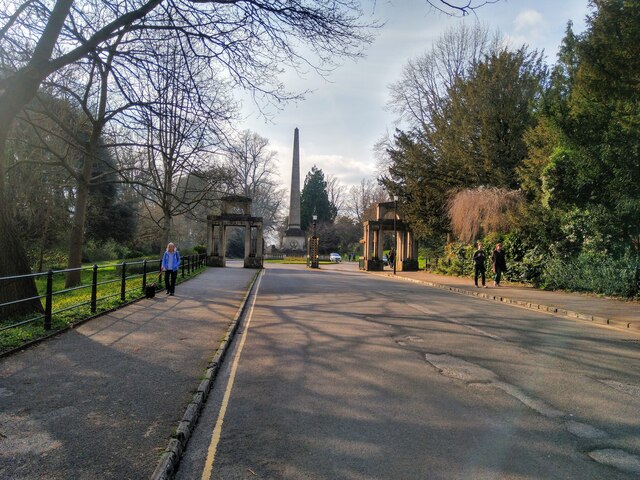
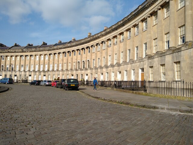
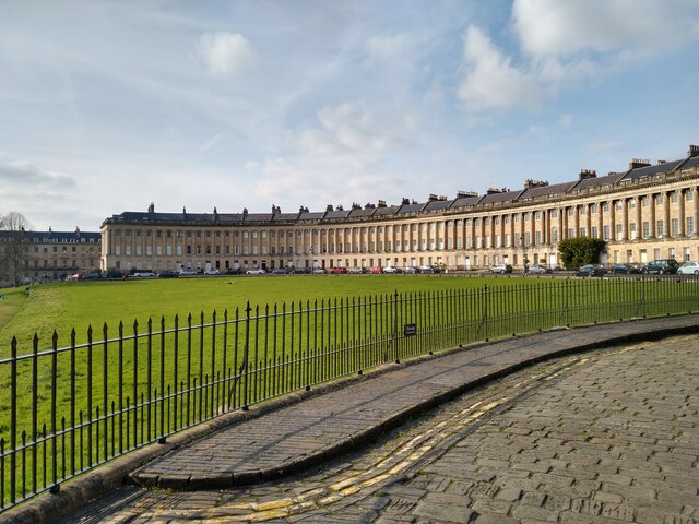
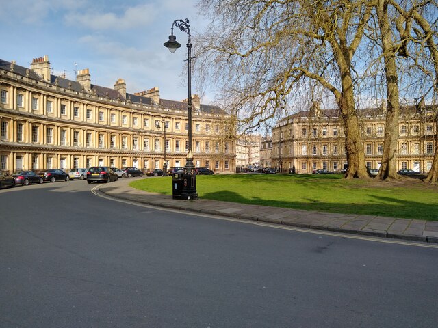
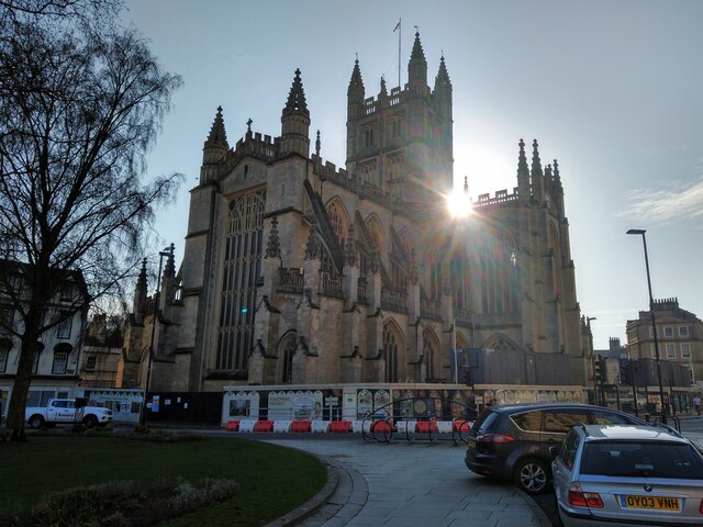
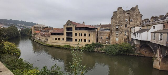
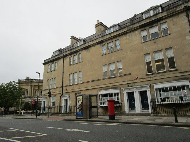
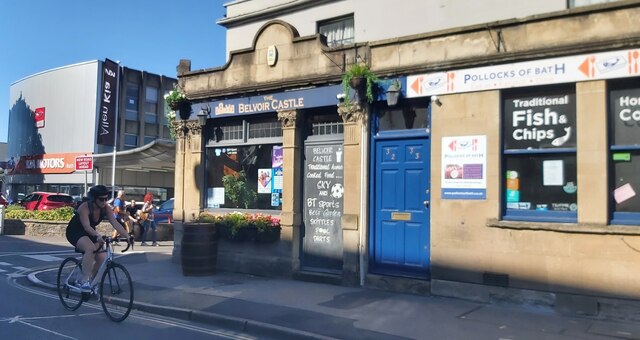
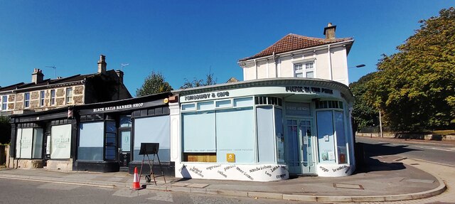
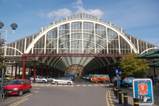
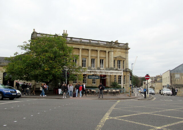
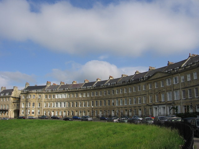
Beacon Hill Images
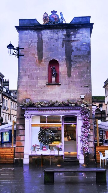
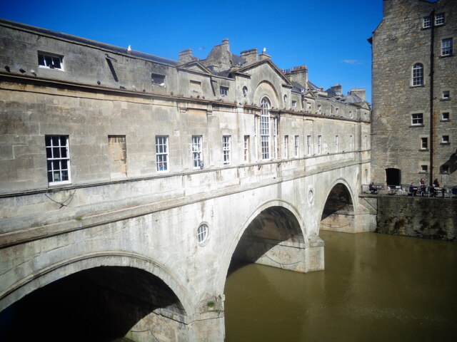
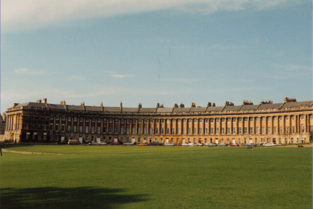
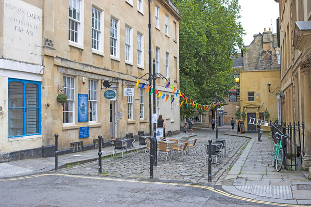
Images are sourced within 2km of 51.395761/-2.36003 or Grid Reference ST7566. Thanks to Geograph Open Source API. All images are credited.


Beacon Hill is located at Grid Ref: ST7566 (Lat: 51.395761, Lng: -2.36003)
Unitary Authority: Bath and North East Somerset
Police Authority: Avon and Somerset
What 3 Words
///prone.arena.always. Near Bath, Somerset
Nearby Locations
Related Wikis
Lansdown, Bath
Lansdown is a suburb of the World Heritage City of Bath, England, that extends northwards from the city centre up a road of the same name. Among its most...
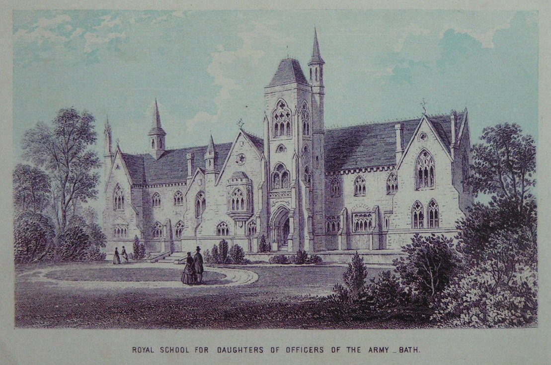
Royal School for Daughters of Officers of the Army
The Royal School for Daughters of Officers of the Army was a girls' boarding school situated in Bath, England. In 1998 it was incorporated into the Royal...

Royal High School, Bath
Royal High School Bath is an independent day and boarding school for girls and in the city of Bath, Somerset, England, catering for up to 650 pupils and...
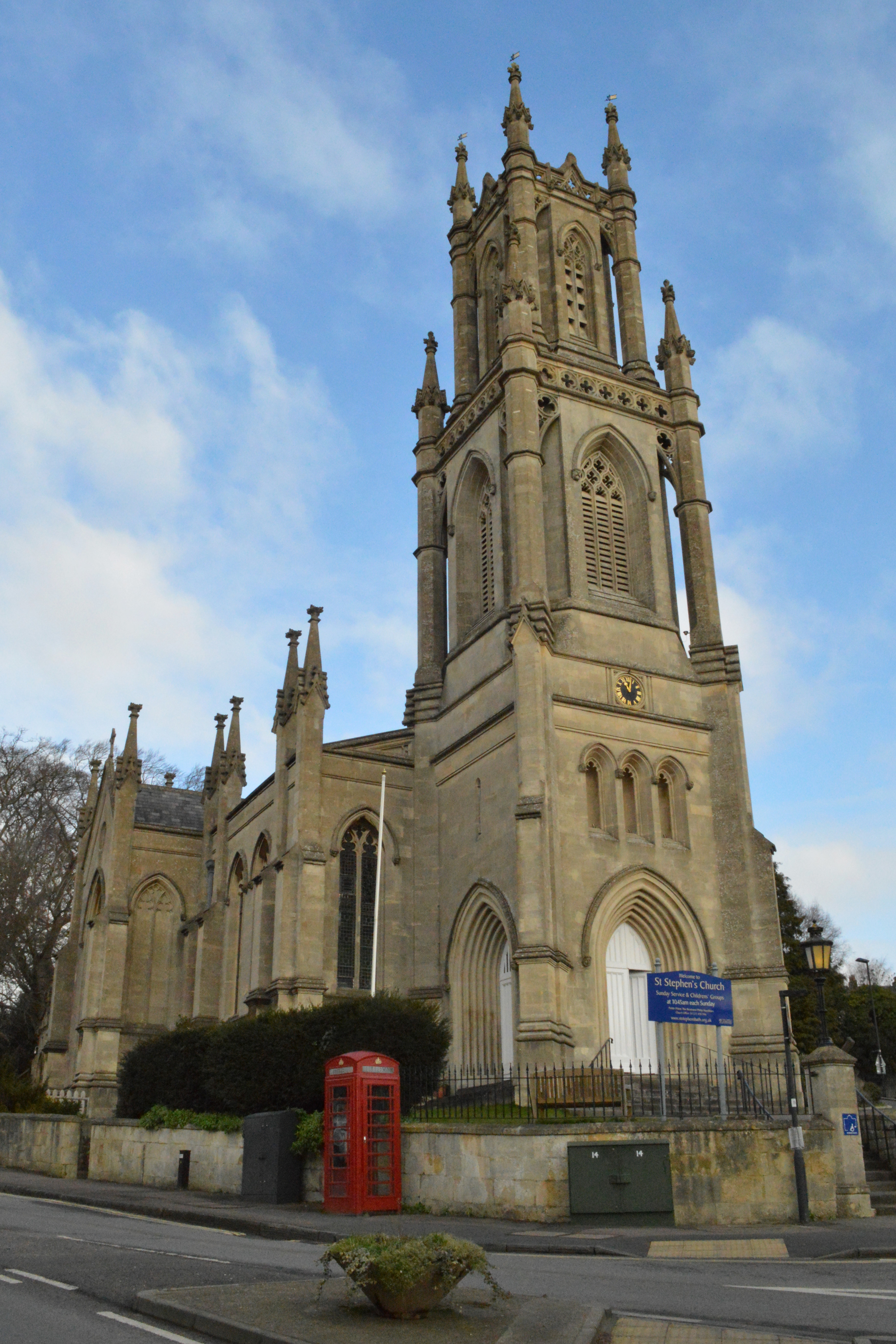
St Stephen's Church, Bath
St Stephen's Church is a Church of England parish church in Bath, Somerset, England. == History == Designed to serve the spiritual needs of northeast Bath...

Walcot, Bath
Walcot is a suburb of the city of Bath, England. It lies to the north-north-east of the city centre, and is an electoral ward of the city.The Paragon and...
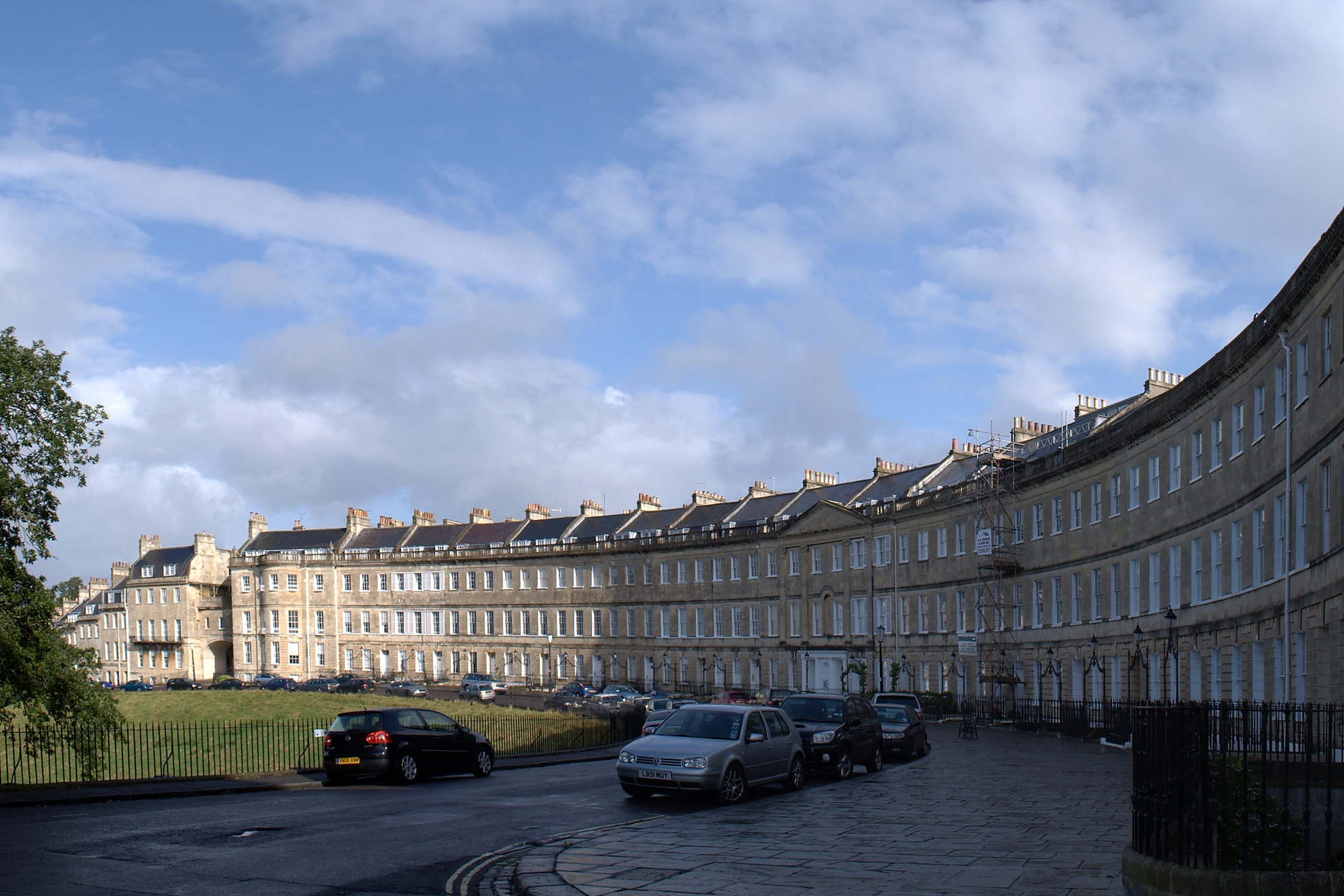
Lansdown Crescent, Bath
Lansdown Crescent is a well-known example of Georgian architecture in Bath, Somerset, England, designed by John Palmer and constructed by a variety of...
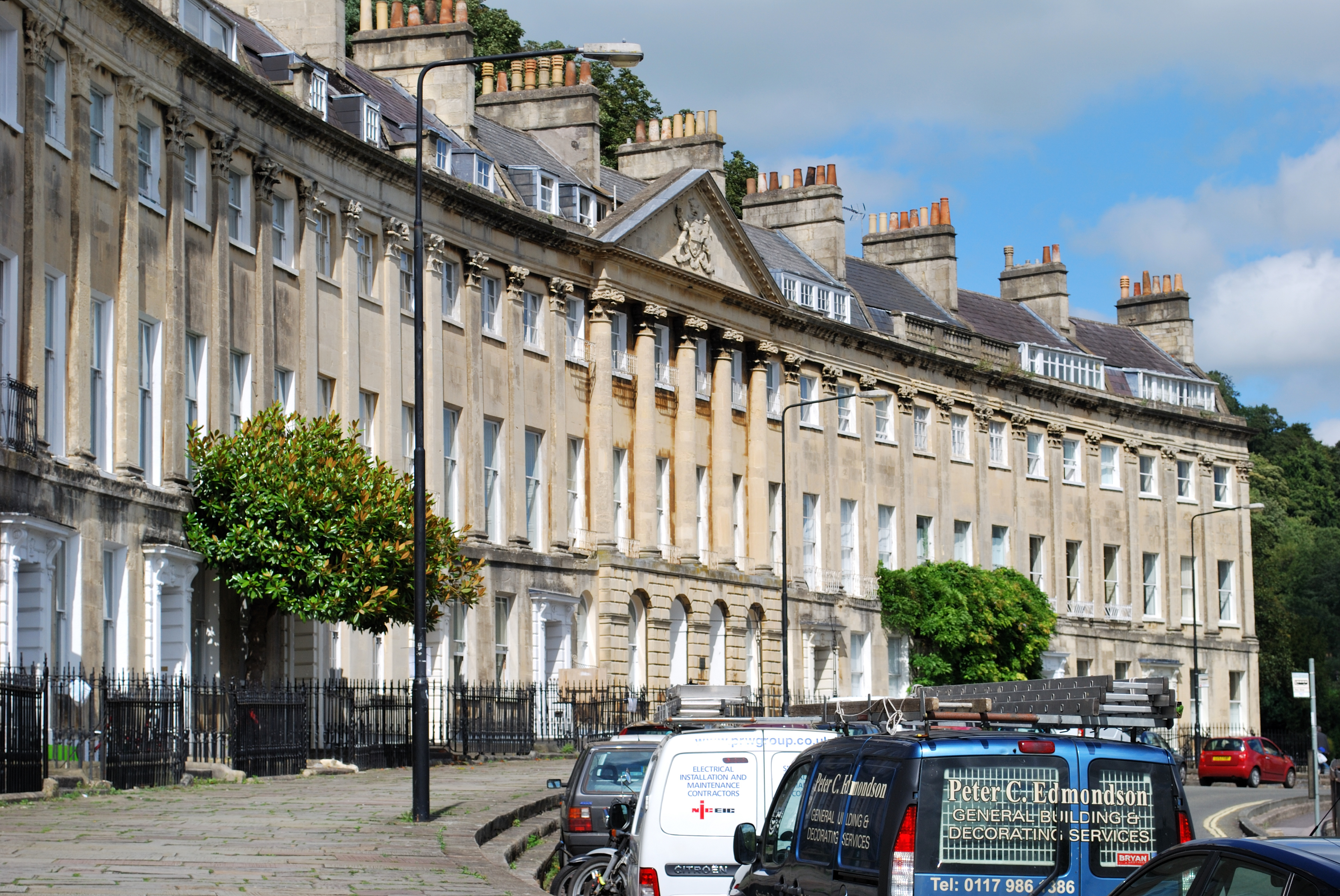
Camden Crescent, Bath
Camden Crescent in Bath, Somerset, England, was built by John Eveleigh in 1788; it was originally known as Upper Camden Place. Numbers 6 to 21 have been...
Norland College
Norland College is a British higher education provider based in Bath, Somerset. The college specialises in childcare, and is widely known for its prestigious...
Nearby Amenities
Located within 500m of 51.395761,-2.36003Have you been to Beacon Hill?
Leave your review of Beacon Hill below (or comments, questions and feedback).