Ceum Garbh

Coastal Feature, Headland, Point in Inverness-shire

Scotland

Ceum Garbh

Eilean a' Phiobaire This low flattish islet is difficult to pick out in poor weather as it blends into the background scenery.
Eilean a' Phiobaire Credit: Glen Breaden

The requested URL returned error: 429 Too Many Requests

If you have any feedback on the listing, please let us know in the comments section below.
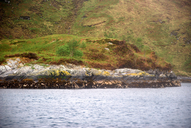
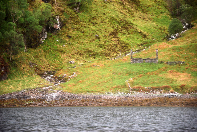
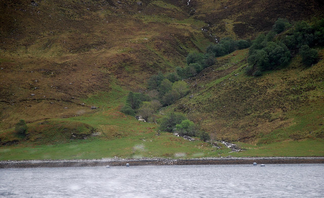
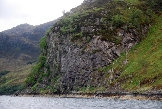
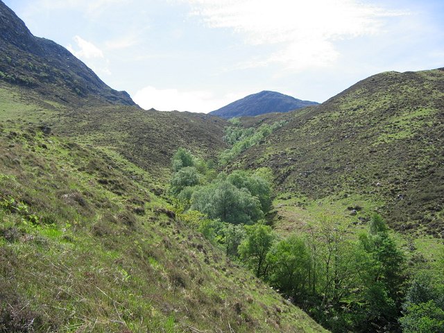
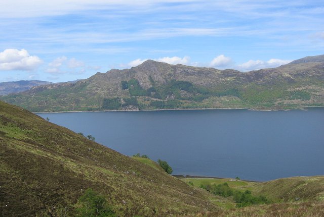
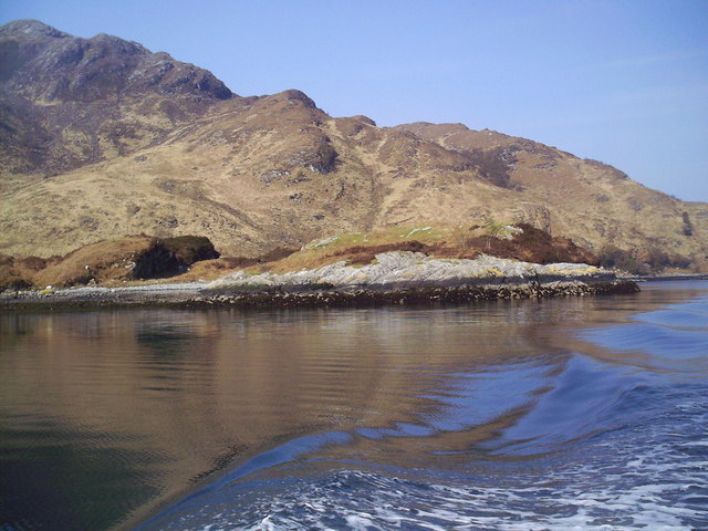
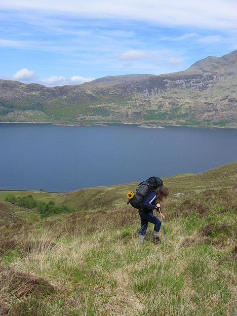
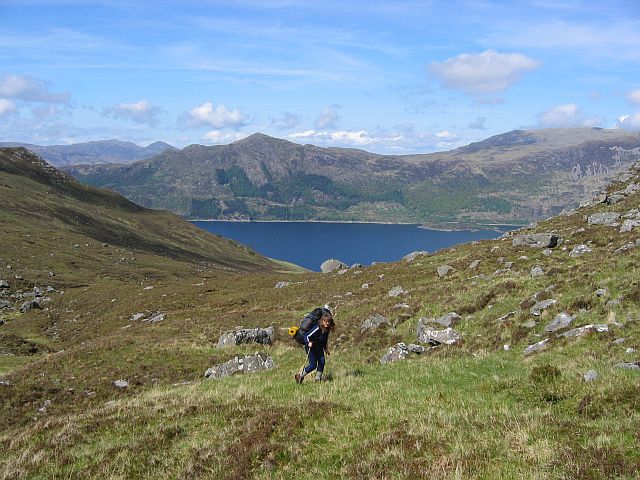
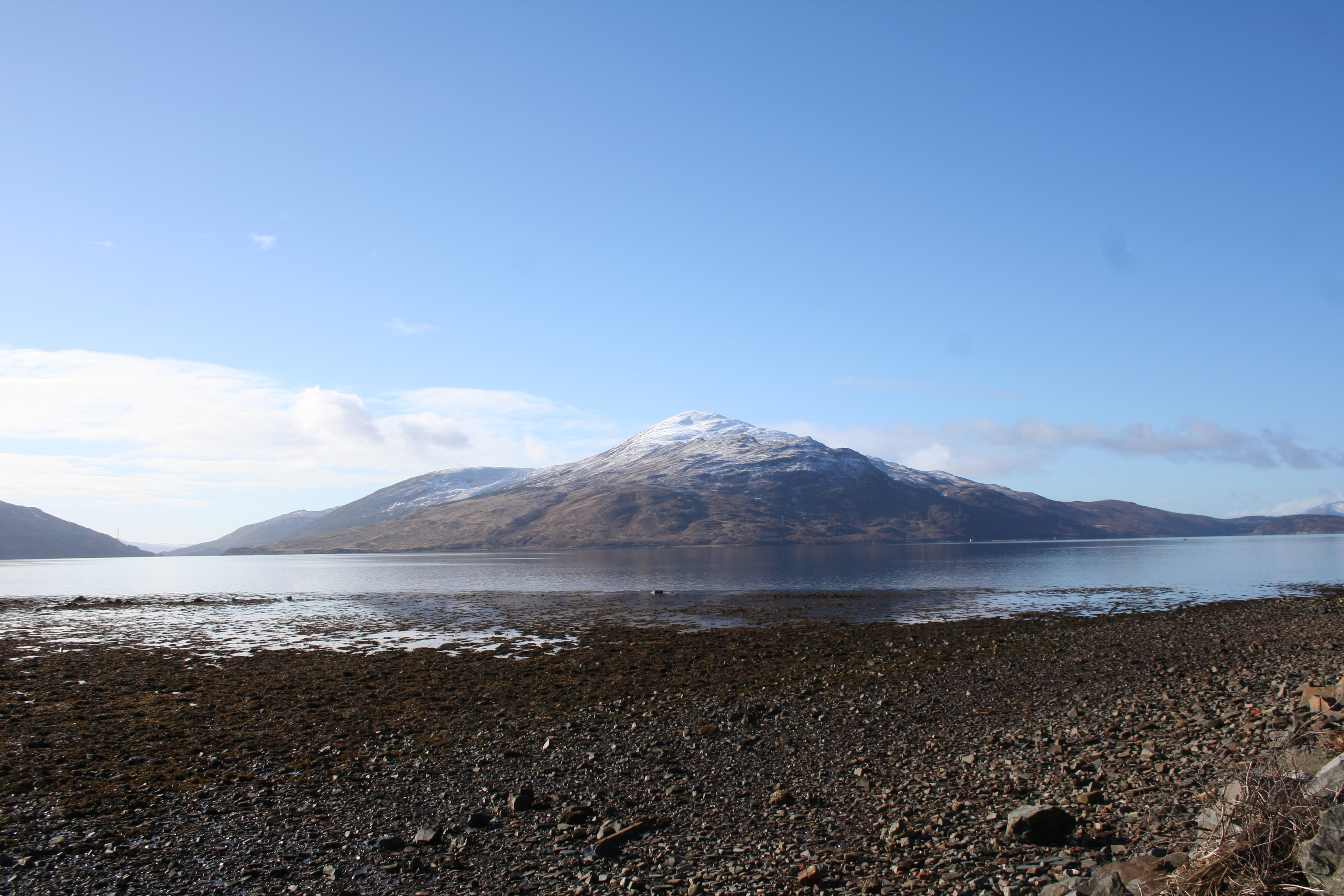
Ceum Garbh Images

Images are sourced within 2km of 57.120315/-5.6119205 or Grid Reference NG8109. Thanks to Geograph Open Source API. All images are credited.

Eilean a' Phiobaire This low flattish islet is difficult to pick out in poor weather as it blends into the background scenery.
Eilean a' Phiobaire
This low flattish islet is difficult to pick out in poor weather as it blends into the background scenery.
Ceum an Doill By the Allt Glac nan Sgadan stands a forlorn ruin.
Ceum an Doill
By the Allt Glac nan Sgadan stands a forlorn ruin.
Allt Coire Sgamadail This burn drains the heights of Beinn na Caillich north into the mouth of Loch Hourn.
Allt Coire Sgamadail
This burn drains the heights of Beinn na Caillich north into the mouth of Loch Hourn.
Creag an t-Sagart Priest's Cliff is a promontory (a north ridge of Beinn na Caillich) which guards the southern entrance of Loch Hourn.
Creag an t-Sagart
Priest's Cliff is a promontory (a north ridge of Beinn na Caillich) which guards the southern entrance of Loch Hourn.
Sgamadail Glen falling from Beinn na Caillich to the north shore of Knoydart. Accessed by boat from Arnisdale.
The course of the burn is well wooded, steep sides of the watercourse providing shelter from grazing deer.
Sgamadail
Glen falling from Beinn na Caillich to the north shore of Knoydart. Accessed by boat from Arnisdale. The course of the burn is well wooded, steep sides of the watercourse providing shelter from grazing deer.
Loch Hourn from Sgamadail Looking down Sgamadail to Loch Hourn.  The alluvial fan at the mouth of the burn can be seen. This would once have been farmed.
Loch Hourn from Sgamadail
Looking down Sgamadail to Loch Hourn. The alluvial fan at the mouth of the burn can be seen. This would once have been farmed.
Coire Sgamadail The corrie at the head of Sgamadail, backed by Beinn na Cailleach (785m) This is the north side of the hill, corrie forming ice would have lingered here.
Coire Sgamadail
The corrie at the head of Sgamadail, backed by Beinn na Cailleach (785m) This is the north side of the hill, corrie forming ice would have lingered here.
Shore Line, Rubha Ruadh from Loch Hourn
Ascent of Sgamadail Climbing the steep glen on the north shore of Knoydart. A backroute into Inverie having been dropped off on the coast.
Ascent of Sgamadail
Climbing the steep glen on the north shore of Knoydart. A backroute into Inverie having been dropped off on the coast.
Coire Sgamadail The harsh climb from Loch Hourn relents at the corrie floor, now for a further climb to the pass.
Coire Sgamadail
The harsh climb from Loch Hourn relents at the corrie floor, now for a further climb to the pass.
Meall Gruamach Lochan studded summit above Loch Hourn.
Meall Gruamach
Lochan studded summit above Loch Hourn.
Show me another place!

Ceum Garbh is located at Grid Ref: NG8109 (Lat: 57.120315, Lng: -5.6119205)

Unitary Authority: Highland

Police Authority: Highlands and Islands

What 3 Words

///combining.doses.clubbing. Near Glenelg, Highland

Nearby Locations

Ceum Garbh

Related Wikis

Loch Hourn

Loch Hourn (Scottish Gaelic: Loch Shubhairne) is a sea loch which separates the peninsulas of Glenelg to the north and Knoydart to the south, on the west...

Arnisdale

Arnisdale (Scottish Gaelic: Àrnasdal) is a hamlet in the historic county of Inverness-shire in the local authority area of Highlands of Scotland. It lies...

Beinn na Caillich (Knoydart)

Beinn na Caillich (Scottish Gaelic for 'mountain of the old woman or Cailleach') is a mountain with a height of 732 metres (2,402 ft) in Knoydart, in the...

Arnisdale Free Church

Arnisdale Free Church is a church building at one time connected to the Free Church of Scotland. It is sited in Arnisdale, Inverness-shire, Scotland. According...

Nearby Amenities

Located within 500m of 57.120315,-5.6119205
Source: PGS
Lat/Long: 57.1198648/-5.6041167
Source: PGS
Lat/Long: 57.1198958/-5.6049645
Created By: almien_coastlines
Source: PGS
Lat/Long: 57.119965/-5.606154
Created By: almien_coastlines
Source: PGS
Lat/Long: 57.119946/-5.607094
Created By: almien_coastlines
Source: PGS
Lat/Long: 57.119926/-5.608034
Created By: almien_coastlines
Source: PGS
Lat/Long: 57.119906/-5.608975
Created By: almien_coastlines
Source: PGS
Lat/Long: 57.119887/-5.609915
Created By: almien_coastlines
Source: PGS
Lat/Long: 57.120094/-5.612284
Created By: almien_coastlines
Source: PGS
Lat/Long: 57.120339/-5.612772
Created By: almien_coastlines
Source: PGS
Lat/Long: 57.120576/-5.613731
Created By: almien_coastlines
Source: PGS
Lat/Long: 57.120822/-5.614219
Created By: almien_coastlines
Source: PGS
Lat/Long: 57.121038/-5.616118
Source: PGS
Lat/Long: 57.1210776/-5.6174924
Source: PGS
Lat/Long: 57.1211357/-5.6187604
Source: PGS
Lat/Long: 57.1211856/-5.6197326
The data included in this document is from www.openstreetmap.org. The data is made available under ODbL.

Have you been to Ceum Garbh?

Leave your review of Ceum Garbh below (or comments, questions and feedback).