Sgeir Bhuidhe

Coastal Feature, Headland, Point in Ross-shire

Scotland

Sgeir Bhuidhe

Cairn on secondary top of Aonach Pairc Dhughaill The view here is towards An Sgurr in the distance.
Cairn on secondary top of Aonach Pairc Dhughaill Credit: Doug Lee

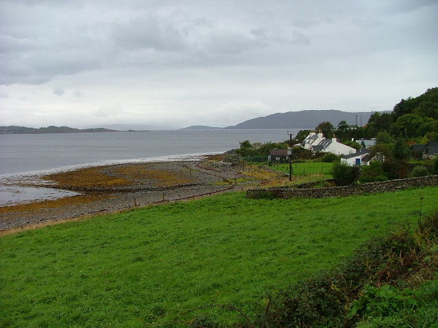
Sgeir Bhuidhe is a coastal feature located in Ross-shire, Scotland. This prominent headland, also known as a point, is situated on the western coast of the Scottish Highlands, specifically in the vicinity of the village of Poolewe.

Sgeir Bhuidhe is characterized by its rugged and rocky terrain, typical of the coastal landscape in this region. The headland juts out into the Atlantic Ocean, offering breathtaking views of the surrounding seascape. The cliffs that define Sgeir Bhuidhe are composed of various types of rock, including sandstone and granite, which have been shaped over centuries by the relentless action of the ocean waves and weathering.

The headland is a well-known landmark in the area, attracting both locals and tourists alike. Its strategic location provides an ideal vantage point for observing marine wildlife such as seals, dolphins, and seabirds, making it a popular spot for nature enthusiasts and birdwatchers. Furthermore, the headland offers stunning panoramic views of the coastline, with its dramatic cliffs and picturesque beaches.

Access to Sgeir Bhuidhe is relatively easy, with various walking trails and paths leading to the point. Visitors can explore the headland on foot, taking in the natural beauty and tranquility of the area. Additionally, the surrounding region offers plenty of opportunities for outdoor activities such as hiking, fishing, and boating.

Overall, Sgeir Bhuidhe is a remarkable coastal feature in Ross-shire, providing visitors with a chance to experience the rugged beauty of the Scottish coastline and observe its diverse wildlife.

If you have any feedback on the listing, please let us know in the comments section below.

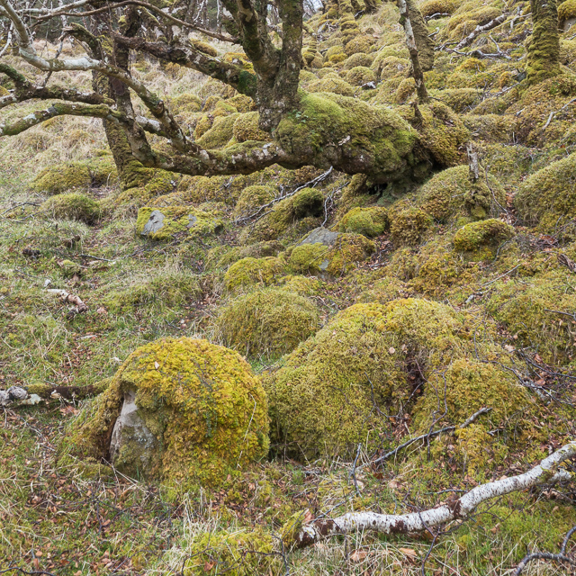
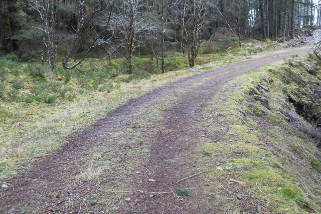
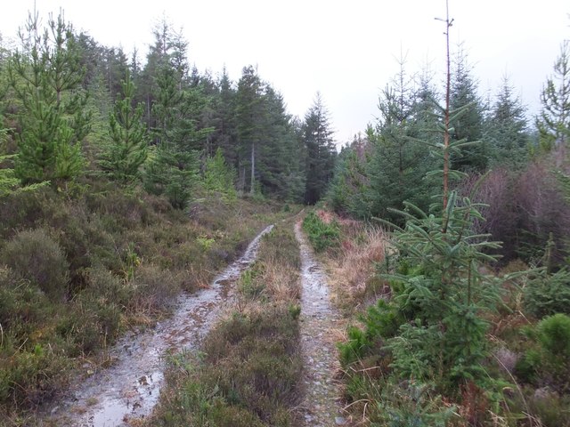
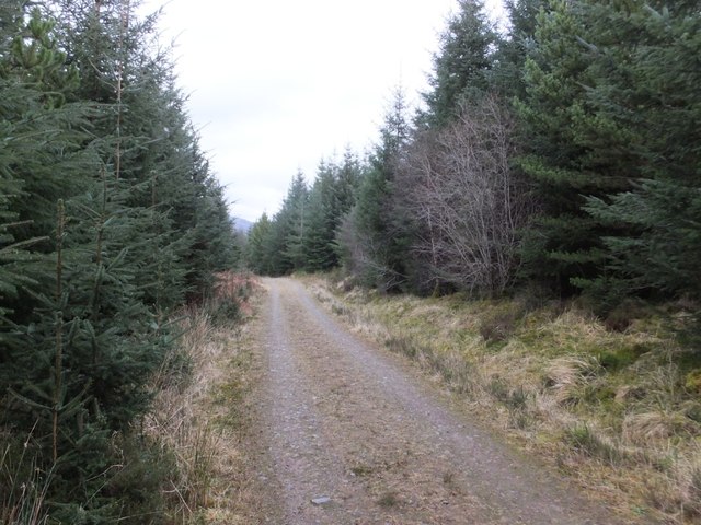
Sgeir Bhuidhe Images

Images are sourced within 2km of 57.371372/-5.6398537 or Grid Reference NG8137. Thanks to Geograph Open Source API. All images are credited.

Cairn on secondary top of Aonach Pairc Dhughaill The view here is towards An Sgurr in the distance.
Cairn on secondary top of Aonach Pairc Dhughaill
The view here is towards An Sgurr in the distance.
The edge of Reraig Forest The temperate rainforest provides perfect conditions for moss which covers almost every surface.
The edge of Reraig Forest
The temperate rainforest provides perfect conditions for moss which covers almost every surface.
Moss covered rocks and trees at the edge of Reraig Forest The wet and undisturbed conditions within the forest provide the perfect conditions for moss - and it grows everywhere
Moss covered rocks and trees at the edge of Reraig Forest
The wet and undisturbed conditions within the forest provide the perfect conditions for moss - and it grows everywhere
Within Reraig Forest Reraig Forest was planted in 1913.  At various places within the forest you can find evidence of pre-forest structures such as the partially standing wall shown in this photo.  All such walls are thoroughly covered by moss which has prospered in the still, damp conditions within the forest.

The local estate run guided tours of some of the forest, as we found when chatting to the gamekeeper at the end of the day. Anyone wanting to view the interior of the forest would be well advised to go on such a tour unless you are very sure of your ability to navigate in very dense wooded areas.  We're pretty good in such conditions but even so ended up with a somewhat suboptimal route through the trees with a couple of steep sections which might be a little off-putting to some people.
Within Reraig Forest
Reraig Forest was planted in 1913. At various places within the forest you can find evidence of pre-forest structures such as the partially standing wall shown in this photo. All such walls are thoroughly covered by moss which has prospered in the still, damp conditions within the forest. The local estate run guided tours of some of the forest, as we found when chatting to the gamekeeper at the end of the day. Anyone wanting to view the interior of the forest would be well advised to go on such a tour unless you are very sure of your ability to navigate in very dense wooded areas. We're pretty good in such conditions but even so ended up with a somewhat suboptimal route through the trees with a couple of steep sections which might be a little off-putting to some people.
Hillside within Reraig Forest The forest was planted in 1913.  Other than the infrequently used tracks marked on the OS maps there are no paths through the forest.
Hillside within Reraig Forest
The forest was planted in 1913. Other than the infrequently used tracks marked on the OS maps there are no paths through the forest.
Track in Reraig Forest
Forestry track towards Achintaid
Curve in the forestry track
The track to Camasdoun
Skerries south of Kishorn Island
Forest track by Allt a' Ghoirtein
Shore, Loch Kishorn
Shore, Loch Kishorn
Forest track by Faoline
Islands off Rubha na h-Airde The most prominent of the islands in this shot is An Garbh-Eilean.
Islands off Rubha na h-Airde
The most prominent of the islands in this shot is An Garbh-Eilean.
Lochan below Aonach Pairc Dhùghaill
Forest track by Gorstain
Show me another place!

Sgeir Bhuidhe is located at Grid Ref: NG8137 (Lat: 57.371372, Lng: -5.6398537)

Unitary Authority: Highland

Police Authority: Highlands and Islands

What 3 Words

///climber.cabbage.formation. Near Lochcarron, Highland

Related Wikis

Loch Kishorn

Loch Kishorn (Scottish Gaelic: Ciseòrn) is a sea loch in the north-west Highlands of Scotland. Kishorn is a collective name used to refer to a group of...

Ardaneaskan

Ardaneaskan (Scottish Gaelic: Àird nan Easgann) is a village on the north shore of Loch Carron in Strathcarron, Ross-shire, in Highland, and is within...

Achintraid

Achintraid (Scottish Gaelic: Achadh na Tràghad) is a small one-time crofting township, situated at the north-eastern end of the sea loch Loch Kishorn,...

Ardarroch

Ardarroch is a small hamlet, located in what is commonly known as the Kishorn area, on the north east shore of Loch Kishorn, within the Strathcarron...

Nearby Amenities

Located within 500m of 57.371372,-5.6398537
Source: PGS
Lat/Long: 57.3753643/-5.6397633
Source: PGS
Lat/Long: 57.3749968/-5.6396239
Source: PGS
Lat/Long: 57.374325/-5.6389937
Source: PGS
Lat/Long: 57.3727732/-5.6393855
Created By: almien_coastlines
Source: PGS
Lat/Long: 57.372587/-5.639226
Source: PGS
Lat/Long: 57.3723407/-5.6390136
Source: PGS
Lat/Long: 57.3723705/-5.638931
Source: PGS
Lat/Long: 57.3721776/-5.6381047
Source: PGS
Lat/Long: 57.371893/-5.6376397
Source: PGS
Lat/Long: 57.3716738/-5.6372385
Source: PGS
Lat/Long: 57.3711254/-5.6364649
Source: PGS
Lat/Long: 57.370769/-5.6361856
Created By: almien_coastlines
Source: PGS
Lat/Long: 57.369967/-5.635957
Created By: almien_coastlines
Source: PGS
Lat/Long: 57.369711/-5.635938
Source: PGS
Lat/Long: 57.3692972/-5.6357384
Source: PGS
Lat/Long: 57.3691944/-5.6355994
Source: PGS
Lat/Long: 57.3689614/-5.6354072
Source: PGS
Lat/Long: 57.3685895/-5.6354303
Source: PGS
Lat/Long: 57.3683451/-5.6352552
Created By: Merkaartor 0.12
Lat/Long: 57.3747713/-5.6355035
Created By: Merkaartor 0.12
Lat/Long: 57.3732414/-5.6359112
Created By: Merkaartor 0.12
Lat/Long: 57.37138/-5.6352829
Created By: Merkaartor 0.12
Lat/Long: 57.370876/-5.634588
Created By: Merkaartor 0.12
Lat/Long: 57.3703663/-5.6340872
Created By: Merkaartor 0.12
Lat/Long: 57.3702419/-5.6340282
Turning Circle
Lat/Long: 57.3698346/-5.6339864
Created By: Merkaartor 0.12
Lat/Long: 57.3728089/-5.6343929
Created By: Merkaartor 0.12
Lat/Long: 57.372844/-5.6342079
Created By: Merkaartor 0.12
Lat/Long: 57.372833/-5.633995
Created By: Merkaartor 0.12
Lat/Long: 57.372741/-5.6338351
Created By: Merkaartor 0.12
Lat/Long: 57.372575/-5.633664
Created By: Merkaartor 0.12
Lat/Long: 57.3719149/-5.6332549
Created By: Merkaartor 0.12
Lat/Long: 57.371698/-5.632979
Created By: Merkaartor 0.12
Lat/Long: 57.3713352/-5.6324189
Created By: Merkaartor 0.12
Lat/Long: 57.3708204/-5.6319844
Created By: Merkaartor 0.12
Lat/Long: 57.3706121/-5.6319147
Ref: E
Lat/Long: 57.3756667/-5.63945
The data included in this document is from www.openstreetmap.org. The data is made available under ODbL.

Have you been to Sgeir Bhuidhe?

Leave your review of Sgeir Bhuidhe below (or comments, questions and feedback).