Sgeir Bhuidhe
Coastal Feature, Headland, Point in Ross-shire
Scotland
Sgeir Bhuidhe
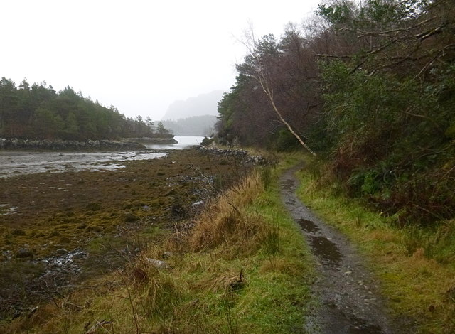
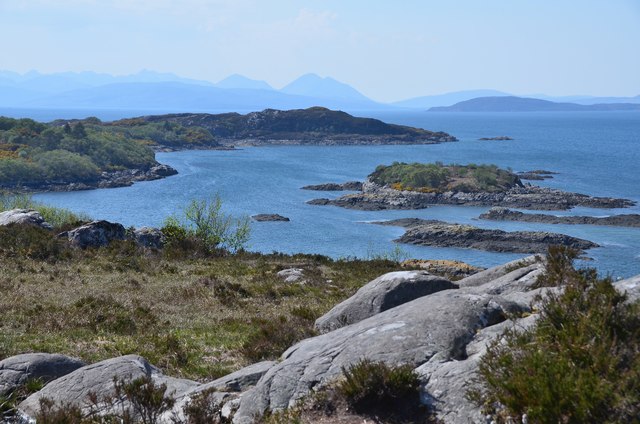
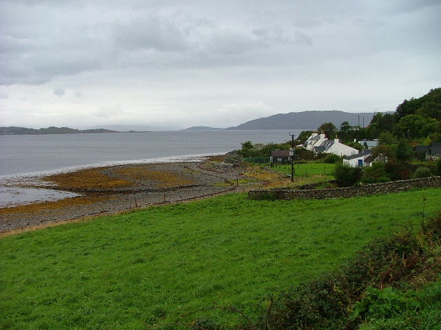
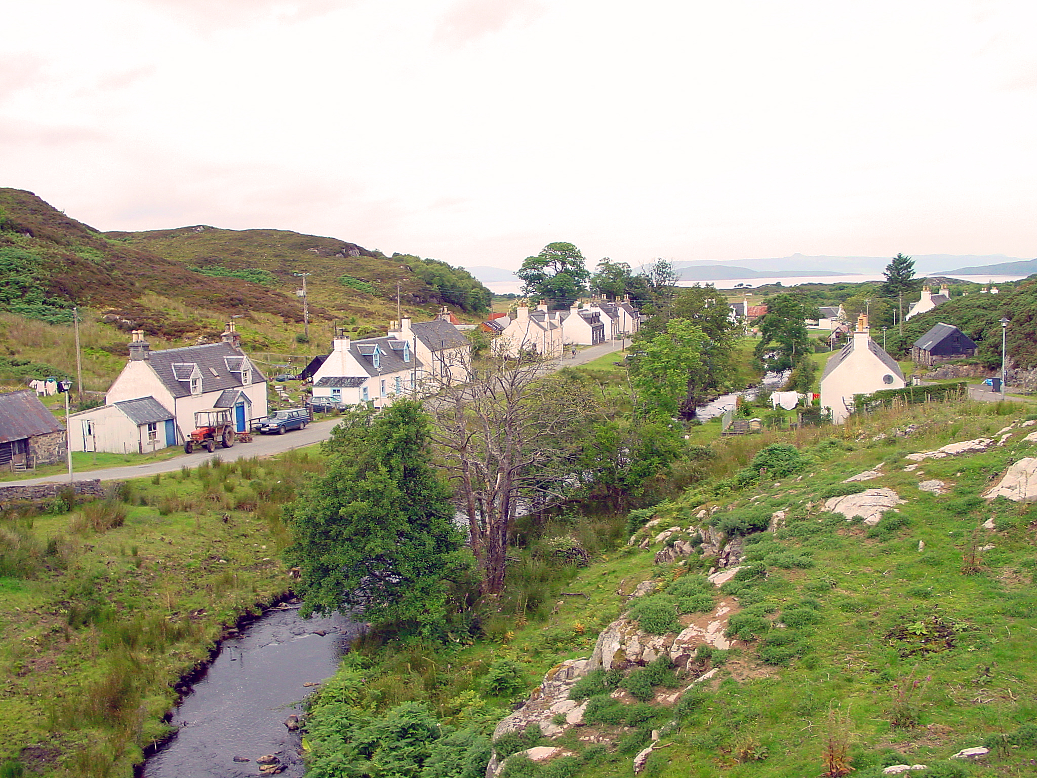
Sgeir Bhuidhe is a prominent coastal feature located in Ross-shire, Scotland. It is a headland or point that juts out into the sea, offering breathtaking views of the surrounding coastline. The name "Sgeir Bhuidhe" translates to "yellow skerry" in English, referring to the characteristic yellowish color of the rock formations found in the area.
Situated in a remote and rugged part of the Highland region, Sgeir Bhuidhe boasts a diverse range of flora and fauna, making it a popular spot for nature enthusiasts and birdwatchers. The headland provides a habitat for various seabirds, including puffins, gannets, and guillemots, which can be observed nesting and fishing in the surrounding waters.
The rocky cliffs of Sgeir Bhuidhe are an impressive sight, with their vertical faces rising up from the ocean. These cliffs are a result of millions of years of erosion, shaping the coastline into its current form. The exposed rock formations also reveal layers of geological history, offering valuable insights into the area's past.
Access to Sgeir Bhuidhe can be challenging due to its remote location, but the effort is rewarded with stunning panoramic views of the sea and the surrounding landscape. Visitors can enjoy peaceful walks along the headland, taking in the fresh sea breeze and the sound of crashing waves. It is advisable to wear sturdy footwear and take caution near the cliff edges, as they can be steep and slippery.
Overall, Sgeir Bhuidhe is a captivating coastal feature that showcases the natural beauty and geological heritage of Ross-shire.
If you have any feedback on the listing, please let us know in the comments section below.
Sgeir Bhuidhe Images
Images are sourced within 2km of 57.340207/-5.6381628 or Grid Reference NG8133. Thanks to Geograph Open Source API. All images are credited.


Sgeir Bhuidhe is located at Grid Ref: NG8133 (Lat: 57.340207, Lng: -5.6381628)
Unitary Authority: Highland
Police Authority: Highlands and Islands
What 3 Words
///toddler.totals.disco. Near Kyleakin, Highland
Nearby Locations
Related Wikis

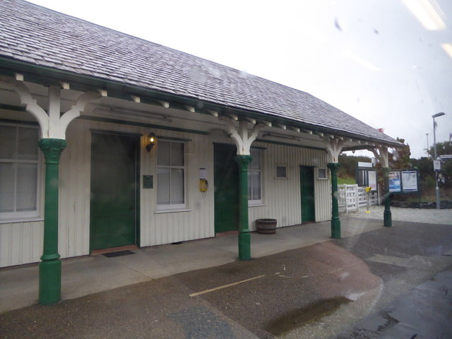
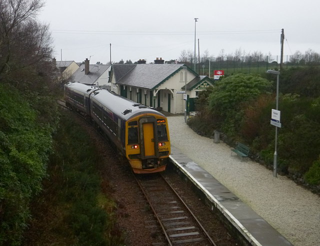
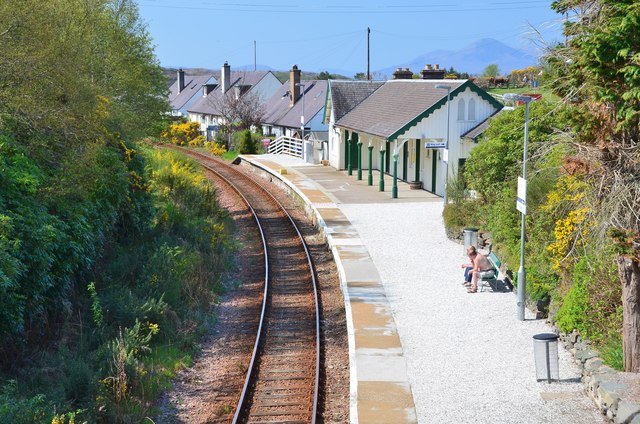
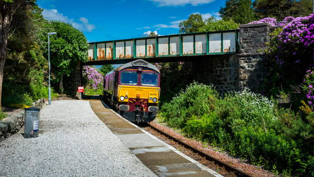
Duncraig railway station
Duncraig railway station is a remote railway station by the shore of Loch Carron on the Kyle of Lochalsh Line, originally (privately) serving Duncraig...

Duncraig Castle
Duncraig Castle is a mansion in Lochalsh, in the west of the Scottish Highlands. A category-C listed building, it is situated in the Highland council area...

Plockton
Plockton (Scottish Gaelic: Am Ploc/Ploc Loch Aillse) is a village in the Lochalsh, Wester Ross area of the Scottish Highlands with a 2020 population of...

Plockton High School
Plockton High School is a 221-pupil high school in the village of Plockton, Scotland. The catchment area for the school stretches from Applecross in the...

Plockton railway station
Plockton railway station is a railway station on the Kyle of Lochalsh Line, serving the village of Plockton in the Highlands, north-west Scotland. The...
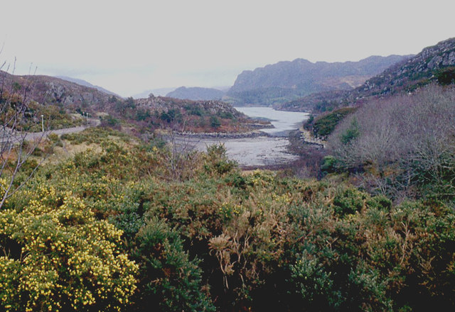
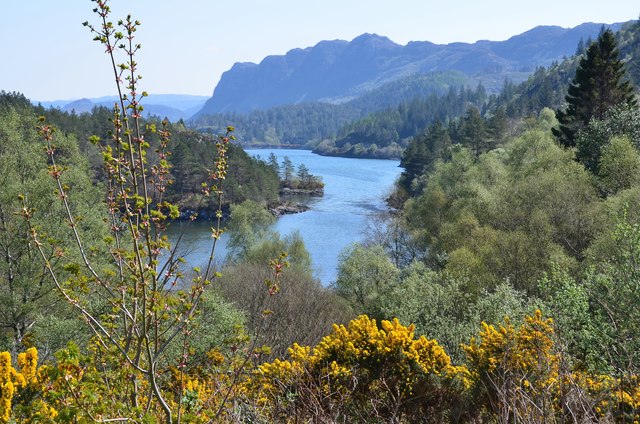
Loch Achaidh na h-Inich
Loch Achaidh na h-Inich is a freshwater loch in Scotland, located around 3 kilometres (1.9 mi) south-south-east of Plockton, 2 kilometres (1.2 mi) east...
Ardaneaskan
Ardaneaskan (Scottish Gaelic: Àird nan Easgann) is a village on the north shore of Loch Carron in Strathcarron, Ross-shire, in Highland, and is within...
Duirinish, Lochalsh
Duirinish (Scottish Gaelic: Diùirinis) is a hamlet in Lochalsh near Plockton in Ross-shire, Scottish Highlands and is in the Scottish council area of Highland...
Nearby Amenities
Located within 500m of 57.340207,-5.6381628Have you been to Sgeir Bhuidhe?
Leave your review of Sgeir Bhuidhe below (or comments, questions and feedback).