Cadha Mòr

Coastal Feature, Headland, Point in Inverness-shire

Scotland

Cadha Mòr

Rocks and a rusty wheelbarrow on Beinn Bhuidhe The old wheelbarrow and the corrugated sheet are probably from the old mica workings, see <a href="https://www.geograph.org.uk/photo/494103">NM7996 : Compressor house</a>
Rocks and a rusty wheelbarrow on Beinn Bhuidhe Credit: wrobison

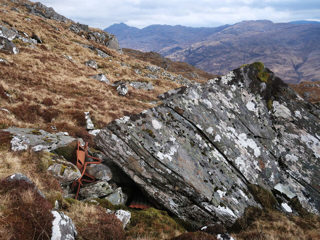
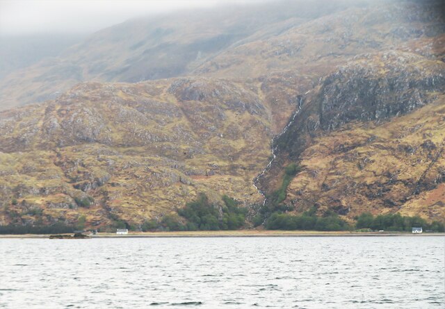
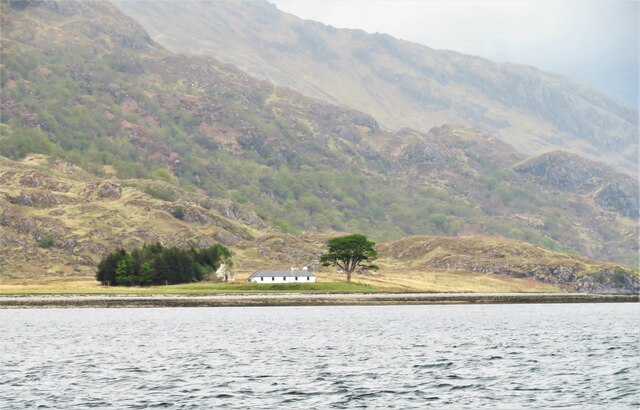
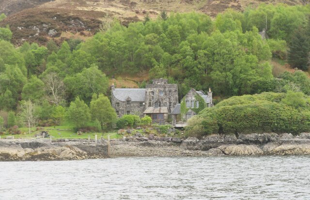
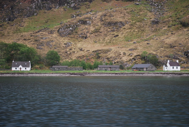
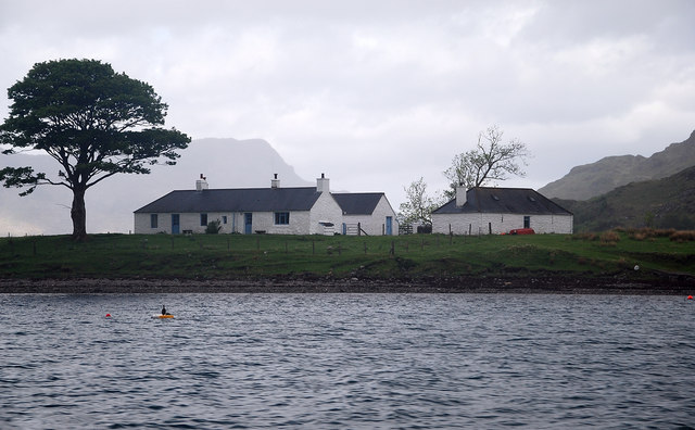
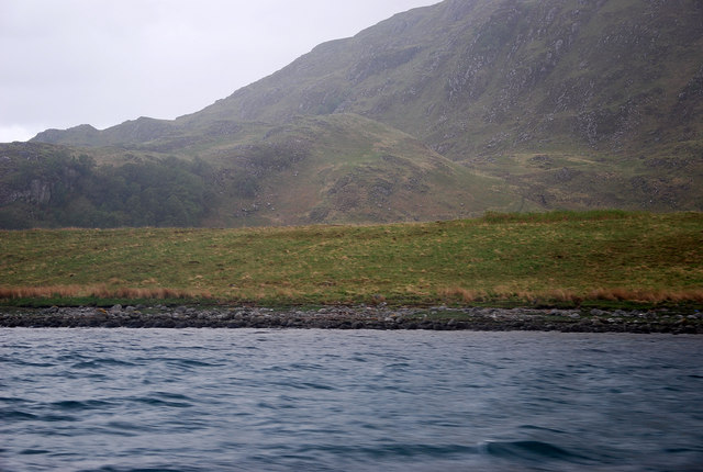
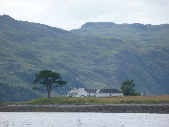
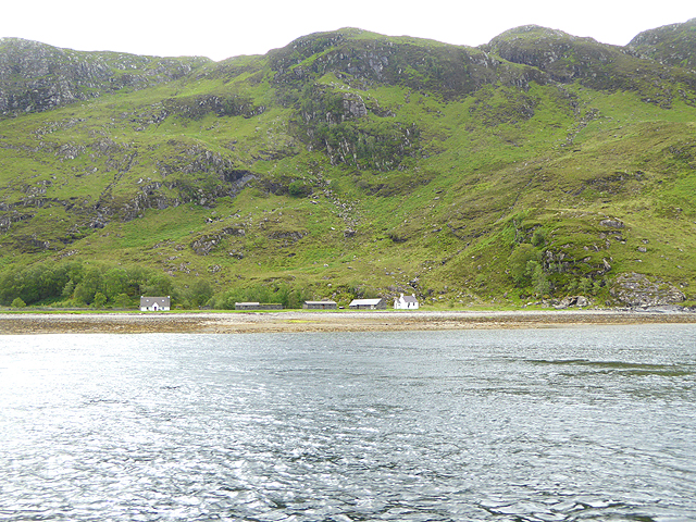
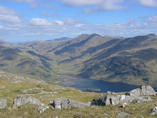
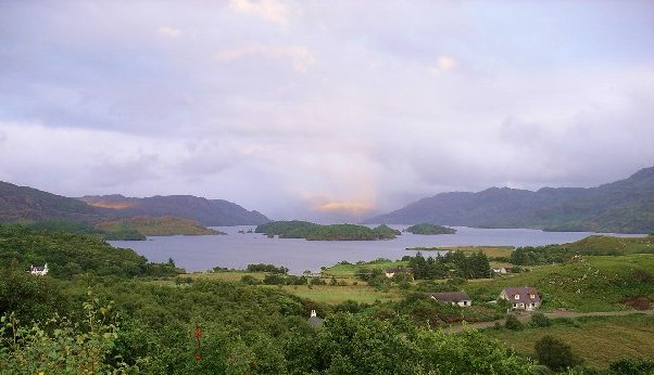
Cadha Mòr is a prominent headland located in Inverness-shire, on the west coast of Scotland. Situated between the towns of Gairloch and Ullapool, it is a well-known coastal feature that offers stunning panoramic views of the surrounding landscape.

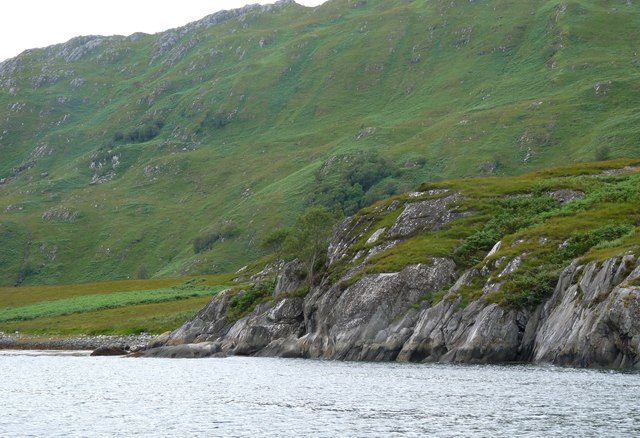
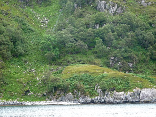
The headland is characterized by its rugged cliffs that rise dramatically from the sea, creating an impressive natural spectacle. Its elevation provides an excellent vantage point, making it a popular destination for tourists and hikers seeking breathtaking views of the North Atlantic Ocean and the nearby islands of Lewis and Harris.

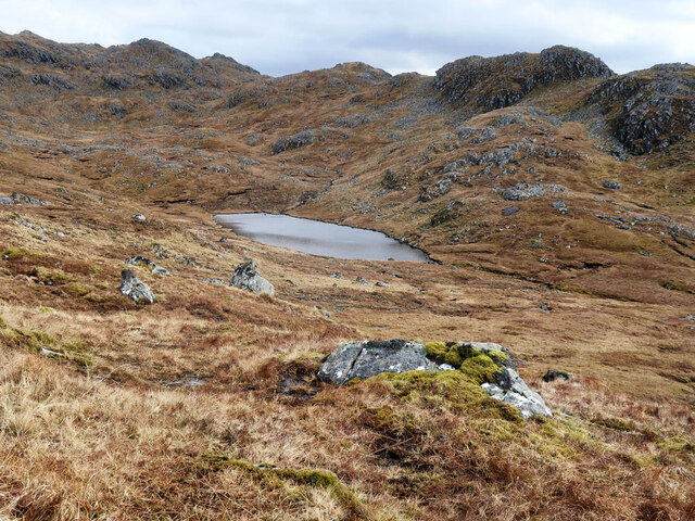
Cadha Mòr is also home to a diverse range of flora and fauna. The headland's grassy slopes are adorned with a variety of wildflowers, including heather and sea thrift, which add vibrant colors to the landscape. The area is also a haven for birdwatchers, as it is frequented by several species of seabirds, such as puffins and guillemots.

In addition to its natural beauty, Cadha Mòr holds historical significance. The headland was once a strategic location for defense during times of conflict, as evidenced by the remnants of ancient fortifications and defensive structures that still stand today. These historical features provide a glimpse into the area's past and add an element of intrigue to the overall experience of visiting Cadha Mòr.

Overall, Cadha Mòr is a captivating coastal feature that showcases the raw beauty and rich history of Inverness-shire. Its majestic cliffs, stunning views, and abundant wildlife make it a must-visit destination for nature lovers and history enthusiasts alike.

If you have any feedback on the listing, please let us know in the comments section below.

Cadha Mòr Images

Images are sourced within 2km of 56.987866/-5.6274927 or Grid Reference NM7994. Thanks to Geograph Open Source API. All images are credited.

Rocks and a rusty wheelbarrow on Beinn Bhuidhe The old wheelbarrow and the corrugated sheet are probably from the old mica workings, see <a href="https://www.geograph.org.uk/photo/494103">NM7996 : Compressor house</a>
Rocks and a rusty wheelbarrow on Beinn Bhuidhe
The old wheelbarrow and the corrugated sheet are probably from the old mica workings, see NM7996 : Compressor house
Kylesmorar Two small white cottages stand on this remote shoreline beneath beetling crags, with a lively burn cascading down the hillside. Taken from the MV Western Isles as it approached Tarbet.
Kylesmorar
Two small white cottages stand on this remote shoreline beneath beetling crags, with a lively burn cascading down the hillside. Taken from the MV Western Isles as it approached Tarbet.
Kylesknoydart Remote cottages on the north side of the narrows between inner and outer Loch Nevis. As with other places, such as Kyle of Lochalsh, the name describes a narrow strait.
Kylesknoydart
Remote cottages on the north side of the narrows between inner and outer Loch Nevis. As with other places, such as Kyle of Lochalsh, the name describes a narrow strait.
The lochan in Coire an Lochain on Beinn Bhuidhe
South shore of Loch Nevis The view encompasses much of the shoreline within this grid square, whilst at the extreme right is Ardintigh Point which is just outside of the square.
South shore of Loch Nevis
The view encompasses much of the shoreline within this grid square, whilst at the extreme right is Ardintigh Point which is just outside of the square.
Tarbet Bay Entering the bay aboard the MV Western Isles, a boat too large to dock at the small jetty. On this occasion a small boat was due to come out to collect some goods, but it never appeared, so the skipper made an about turn and we sailed away again.
Tarbet Bay
Entering the bay aboard the MV Western Isles, a boat too large to dock at the small jetty. On this occasion a small boat was due to come out to collect some goods, but it never appeared, so the skipper made an about turn and we sailed away again.
Fancy residence at Tarbet Not quite what one would expect in such a remote location. Access presumably by boat or via a path.
Fancy residence at Tarbet
Not quite what one would expect in such a remote location. Access presumably by boat or via a path.
Kylesmorar, Loch Nevis Pretty little settlement which has been given some TLC.  There is a holiday home - maybe two.  The former school is the building on the right.  Also a family of happy free ranging pigs. It is a delightful spot.
Kylesmorar, Loch Nevis
Pretty little settlement which has been given some TLC. There is a holiday home - maybe two. The former school is the building on the right. Also a family of happy free ranging pigs. It is a delightful spot.
Kylesknoydart, Loch Nevis Apparently holiday accommodation at the narrows between Morar and Knoydart.
Kylesknoydart, Loch Nevis
Apparently holiday accommodation at the narrows between Morar and Knoydart.
Loch Nevis Low lying track of land lying to the east of Kylesknoydart.
Loch Nevis
Low lying track of land lying to the east of Kylesknoydart.
Kylesmorar Jetty A service jetty for boats, otherwise a trek over a coastal track from Tarbet.
Kylesmorar Jetty
A service jetty for boats, otherwise a trek over a coastal track from Tarbet.
Coille Chalolais The western edge of this natural woodland clinging to the southern slopes of beinn Buidhe.
Coille Chalolais
The western edge of this natural woodland clinging to the southern slopes of beinn Buidhe.
Grazing Land West of Kylesknoydart and south of the Allt an Eachdarra is an unusual low lying corner.  It must have been well prized and envied at the beginning of last century when this area was populated.
Grazing Land
West of Kylesknoydart and south of the Allt an Eachdarra is an unusual low lying corner. It must have been well prized and envied at the beginning of last century when this area was populated.
Kylesknoydart from the 'Western Isles' The Bruce Watt boat takes a detour into inner Loch Nevis.
Kylesknoydart from the 'Western Isles'
The Bruce Watt boat takes a detour into inner Loch Nevis.
Rubha na Doire Cairtidh A rocky obstacle to progress along the shoreline.
Rubha na Doire Cairtidh
A rocky obstacle to progress along the shoreline.
Deer fence climbs Creag Chruachain
Loch Nevis: Kylesknoydart A house on the northern edge of Loch Nevis, at a point where the Loch narrows somewhat. This is one of the most remote houses in Britain, with no road access whatsoever, it would appear.
Loch Nevis: Kylesknoydart
A house on the northern edge of Loch Nevis, at a point where the Loch narrows somewhat. This is one of the most remote houses in Britain, with no road access whatsoever, it would appear.
Cottages at Kylesmorar The word "Kyle" means "narrows". At one point Loch Nevis narrows to a mere 250 metres across.
Cottages at Kylesmorar
The word "Kyle" means "narrows". At one point Loch Nevis narrows to a mere 250 metres across.
Show me another place!

Cadha Mòr is located at Grid Ref: NM7994 (Lat: 56.987866, Lng: -5.6274927)

Unitary Authority: Highland

Police Authority: Highlands and Islands

What 3 Words

///wiggles.bluffs.sprains. Near Arisaig, Highland

Related Wikis

Tarbet, Loch Nevis

Tarbet (Scottish Gaelic: An Tairbeart or Tairbeart Loch Nibheis) is a place on the south shore of Loch Nevis in Scotland, about 6 miles (10 kilometres...

Beinn Bhuidhe (Knoydart)

Beinn Bhuidhe (855m) is a mountain in the Northwest Highlands of Scotland. It lies in a very remote area of Knoydart, Lochaber. Lying on the north side...

Loch Nevis

Loch Nevis (Scottish Gaelic: Loch Nibheis) is a sea loch in Lochaber on the west coast of Scotland. It runs inland from the Sound of Sleat, and is bounded...

Loch Morar

Loch Morar (Scottish Gaelic: Loch Mòrair) is a freshwater loch in Lochaber, Highland, Scotland. It is the fifth-largest loch by surface area in Scotland...

Nearby Amenities

Located within 500m of 56.987866,-5.6274927
Source: PGS
Lat/Long: 56.989805/-5.6340266
Source: PGS
Lat/Long: 56.9892807/-5.6347754
Created By: dmgroom_coastlines
Source: PGS
Lat/Long: 56.988339/-5.635418
Created By: dmgroom_coastlines
Source: PGS
Lat/Long: 56.987828/-5.635382
Created By: dmgroom_coastlines
Source: PGS
Lat/Long: 56.987719/-5.634436
Created By: dmgroom_coastlines
Source: PGS
Lat/Long: 56.987596/-5.634194
Created By: dmgroom_coastlines
Source: PGS
Lat/Long: 56.987346/-5.63394
Created By: dmgroom_coastlines
Source: PGS
Lat/Long: 56.987443/-5.635355
Created By: dmgroom_coastlines
Source: PGS
Lat/Long: 56.985919/-5.634778
Created By: dmgroom_coastlines
Source: PGS
Lat/Long: 56.986052/-5.634554
Created By: dmgroom_coastlines
Source: PGS
Lat/Long: 56.986184/-5.634328
Created By: dmgroom_coastlines
Source: PGS
Lat/Long: 56.98647/-5.63294
Source: PGS
Lat/Long: 56.9872711/-5.6318708
Source: PGS
Lat/Long: 56.9874828/-5.6304905
Source: PGS
Lat/Long: 56.9869682/-5.6290962
Source: PGS
Lat/Long: 56.9871907/-5.6271376
Source: PGS
Lat/Long: 56.9871519/-5.6266357
Source: PGS
Lat/Long: 56.9871773/-5.6259612
Source: PGS
Lat/Long: 56.9872739/-5.6253049
Source: PGS
Lat/Long: 56.98711/-5.6246607
Source: PGS
Lat/Long: 56.9869849/-5.6238798
Source: PGS
Lat/Long: 56.9860998/-5.6232644
Source: PGS
Lat/Long: 56.9862484/-5.6226278
Source: PGS
Lat/Long: 56.9858866/-5.6221289
Source: PGS
Lat/Long: 56.9857518/-5.6217334
Source: PGS
Lat/Long: 56.9852097/-5.6213239
Ford: yes
Lat/Long: 56.9895664/-5.6309417
Ford: yes
Lat/Long: 56.9860872/-5.6216686
The data included in this document is from www.openstreetmap.org. The data is made available under ODbL.

Have you been to Cadha Mòr?

Leave your review of Cadha Mòr below (or comments, questions and feedback).