An Clèireach
Coastal Feature, Headland, Point in Inverness-shire
Scotland
An Clèireach
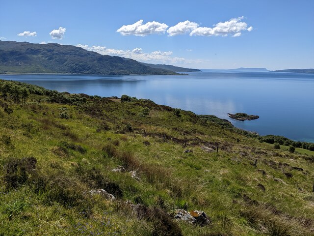
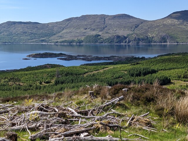
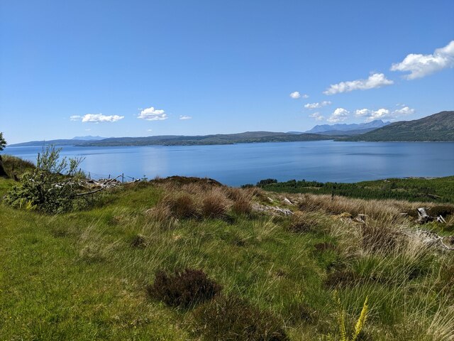
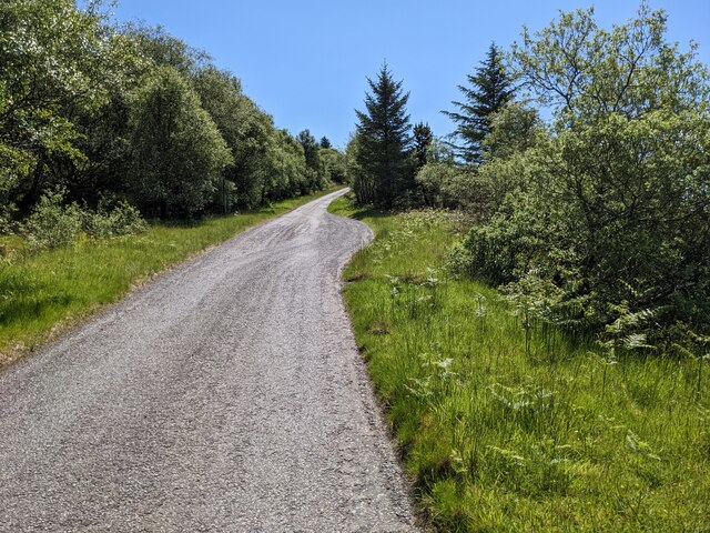
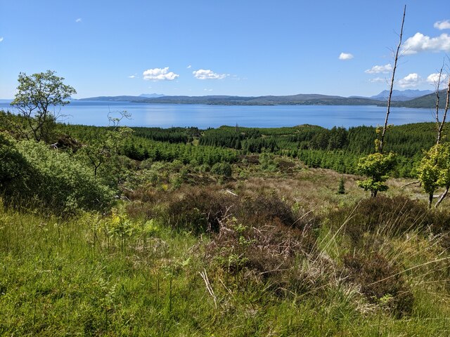
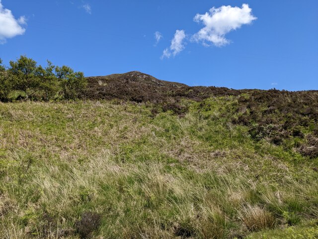
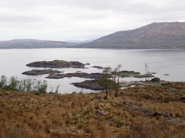
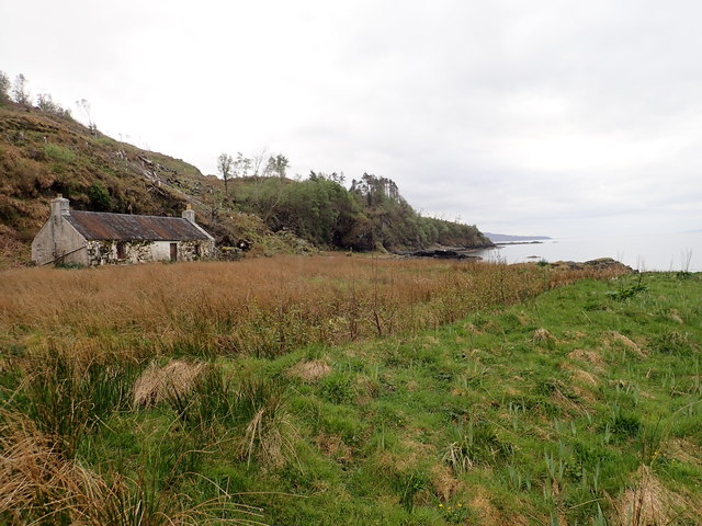
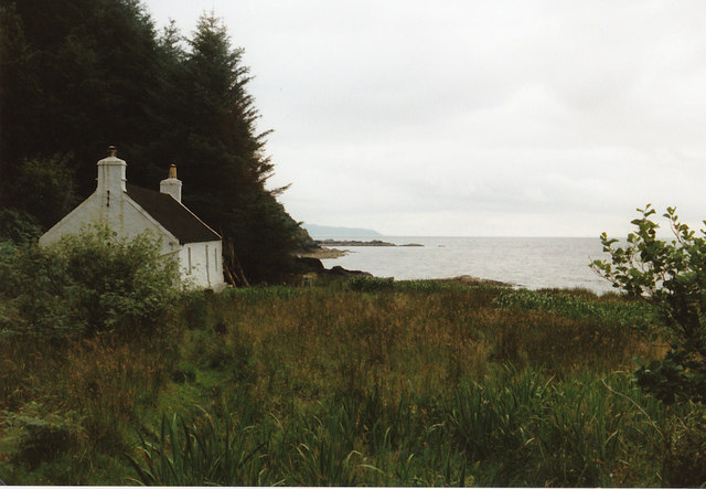
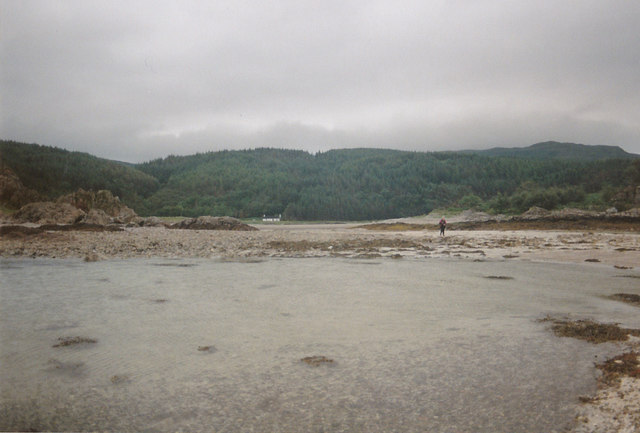
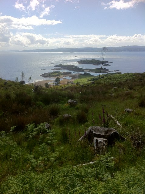
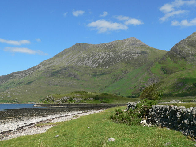
An Clèireach is a prominent headland located in Inverness-shire, Scotland. Situated along the rugged coastline, this coastal feature offers stunning views of the surrounding landscape and the nearby sea. The headland is characterized by its rocky cliffs, which rise dramatically from the water below, creating a striking and picturesque scene.
An Clèireach is a popular destination for nature lovers and outdoor enthusiasts, who come to explore the rugged terrain and take in the breathtaking views of the sea and surrounding countryside. The headland is also home to a variety of wildlife, including seabirds and marine life, making it a great spot for birdwatching and wildlife photography.
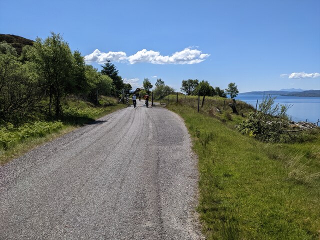
Visitors to An Clèireach can enjoy hiking along the coastal paths, taking in the fresh sea air and enjoying the peace and tranquility of this remote and unspoiled location. The headland is also a great spot for picnicking, with plenty of opportunities to sit and enjoy a meal while taking in the stunning views.
Overall, An Clèireach is a must-visit destination for anyone looking to experience the natural beauty and rugged charm of the Scottish coastline.
If you have any feedback on the listing, please let us know in the comments section below.
An Clèireach Images
Images are sourced within 2km of 57.155255/-5.6852932 or Grid Reference NG7713. Thanks to Geograph Open Source API. All images are credited.


An Clèireach is located at Grid Ref: NG7713 (Lat: 57.155255, Lng: -5.6852932)
Unitary Authority: Highland
Police Authority: Highlands and Islands
What 3 Words
///families.perform.heartburn. Near Glenelg, Highland
Nearby Locations
Related Wikis

Beinn a' Chapuill
Beinn a' Chapuill (759 m) is a mountain in the Northwest Highlands of Scotland. It is located in Ross and Cromarty, close to the community of Glenelg....

Ornsay
Ornsay is a small tidal island to the east of the Sleat peninsula on the Isle of Skye in the Inner Hebrides of Scotland. == Description == The island provides...
Beinn Sgritheall
Beinn Sgritheall or Beinn an Sgrithill (Scottish Gaelic for 'scree mountain'), also anglicized Ben Sgriol, is the highest mountain on the Glenelg peninsula...

Loch Hourn
Loch Hourn (Scottish Gaelic: Loch Shubhairne) is a sea loch which separates the peninsulas of Glenelg to the north and Knoydart to the south, on the west...
Nearby Amenities
Located within 500m of 57.155255,-5.6852932Have you been to An Clèireach?
Leave your review of An Clèireach below (or comments, questions and feedback).