Achinhoan Head
Coastal Feature, Headland, Point in Argyllshire
Scotland
Achinhoan Head

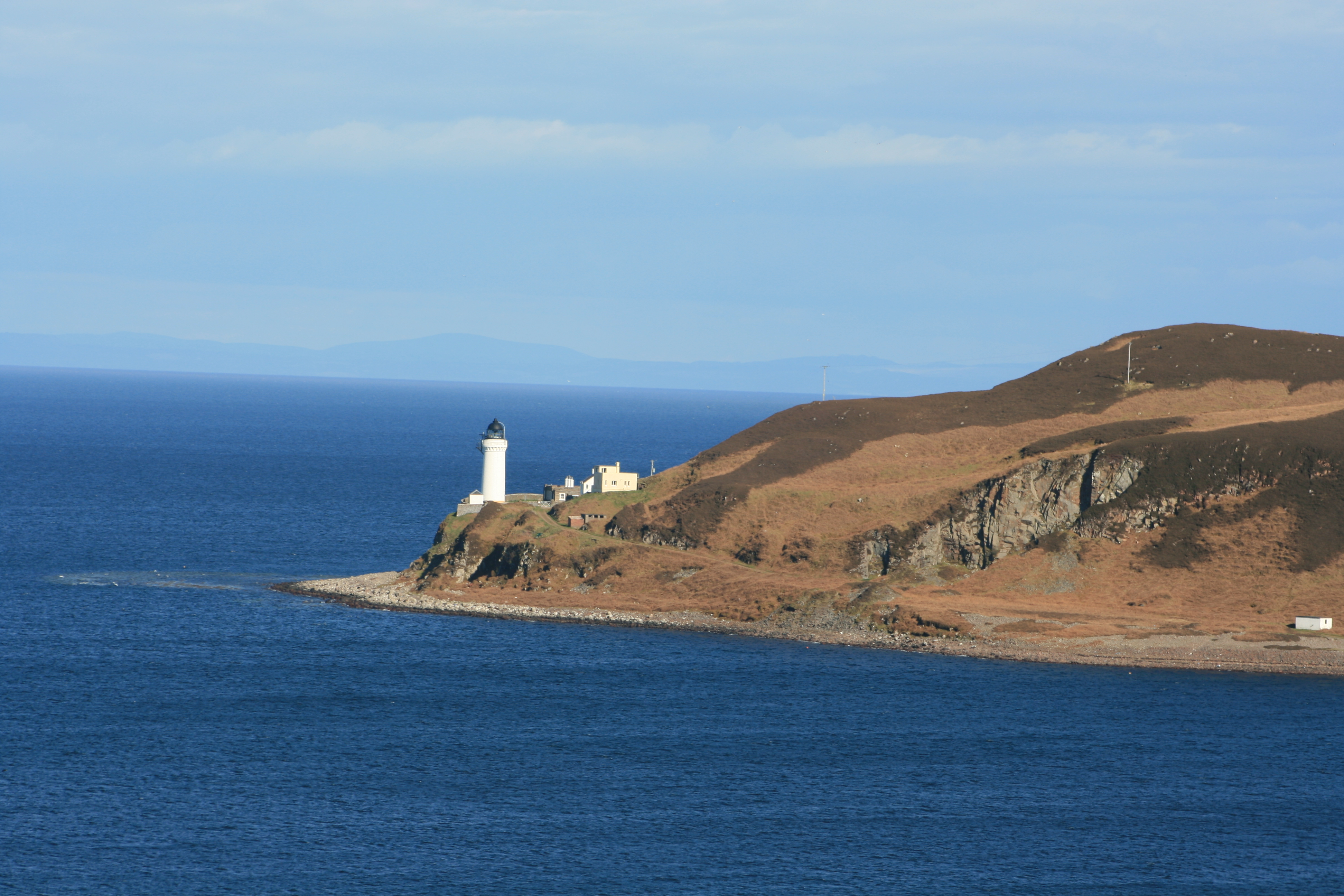
Achinhoan Head is a prominent coastal feature located in Argyllshire, Scotland. It is a headland that juts out into the Atlantic Ocean, offering stunning views of the surrounding landscape. The headland is situated on the western coast of the region, approximately 10 miles northwest of the town of Oban.
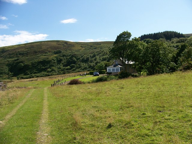
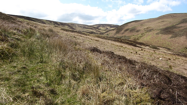
At Achinhoan Head, visitors can experience the rugged beauty of the Scottish coastline. The headland is characterized by steep cliffs that rise dramatically from the sea, creating a striking contrast against the deep blue waters. The cliffs are composed of ancient rock formations, providing a glimpse into the area's geological history.
Achinhoan Head is also known for its diverse wildlife. The surrounding waters are home to various marine species, including seals and seabirds. Visitors may spot colonies of puffins, guillemots, and gannets perched on the cliffs, adding to the area's natural charm.
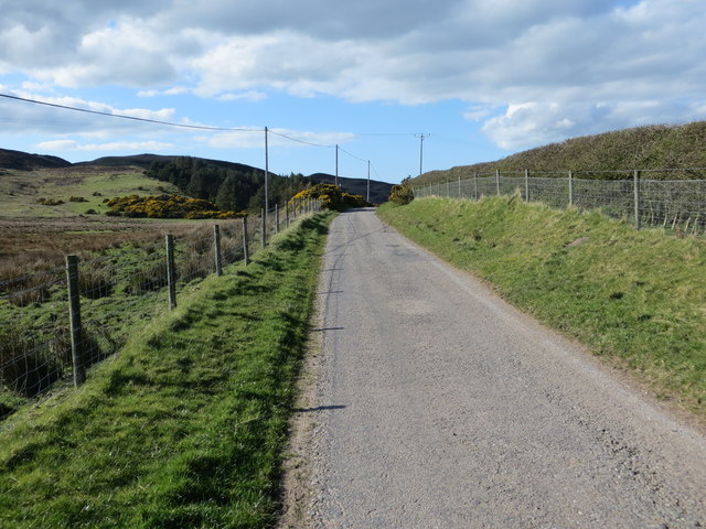
Hiking enthusiasts will find several trails that meander along the headland, offering opportunities to explore the rugged terrain and enjoy the breathtaking views. The paths are well-maintained, making it accessible for both casual walkers and experienced hikers.
Due to its remote location, Achinhoan Head provides a peaceful and tranquil escape from the bustling towns nearby. The isolation contributes to the sense of serenity and allows visitors to immerse themselves in the natural beauty of the area.
In summary, Achinhoan Head is a stunning headland in Argyllshire, Scotland, offering awe-inspiring views, diverse wildlife, and tranquil hiking trails. It is a must-visit destination for nature enthusiasts and those seeking a peaceful coastal experience.
If you have any feedback on the listing, please let us know in the comments section below.
Achinhoan Head Images
Images are sourced within 2km of 55.396235/-5.5285557 or Grid Reference NR7617. Thanks to Geograph Open Source API. All images are credited.


Achinhoan Head is located at Grid Ref: NR7617 (Lat: 55.396235, Lng: -5.5285557)
Unitary Authority: Argyll and Bute
Police Authority: Argyll and West Dunbartonshire
What 3 Words
///cheerily.many.derailed. Near Campbeltown, Argyll & Bute
Nearby Locations
Related Wikis

Achinhoan
Achinhoan is a settlement on the Kintyre peninsula in Argyll and Bute, Scotland. It consists of a handful of buildings, half a mile (one km) west of Achinhoan...
Island Davaar
Island Davaar or Davaar Island (Scottish Gaelic: Eilean Dà Bhàrr) is located at the mouth of Campbeltown Loch off the east coast of Kintyre, in Argyll...
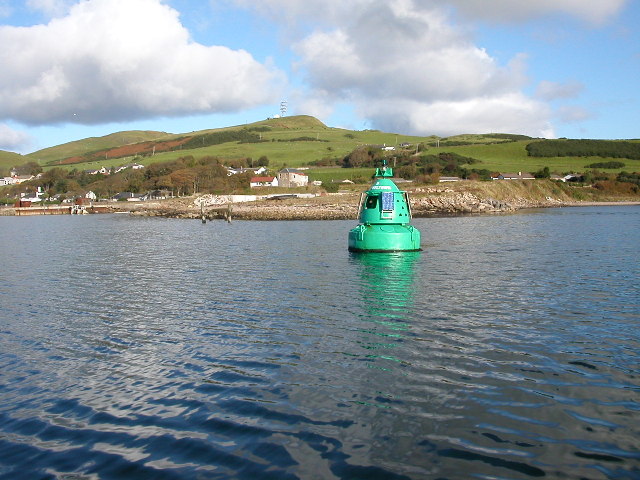
Campbeltown Loch
Campbeltown Loch (Scottish Gaelic: Loch Chille Chiarain) is a small sea loch near the south of the Kintyre Peninsula facing eastwards towards the Firth...
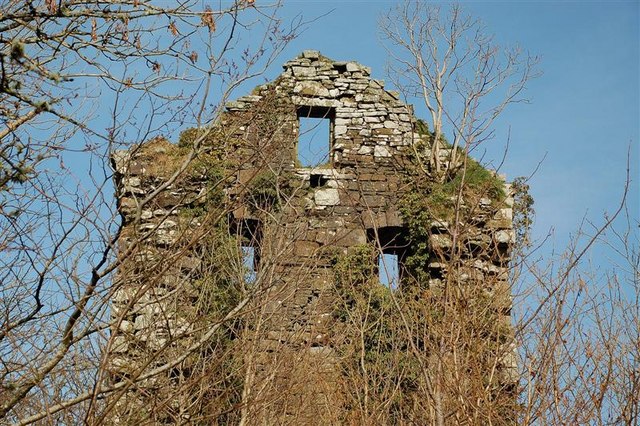
Kilkerran Castle
Kilkerran Castle is a ruined castle, near Campbeltown, Kintyre, Argyll and Bute, Scotland. == History == A keep was built in 1490 by King James IV, for...
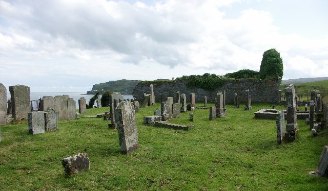
Kilchousland Chapel
Kilchousland Chapel (Scottish Gaelic: Chill Chuslainn "St Constantine's Chapel") is a medieval chapel near Campbeltown, Argyll and Bute, Scotland. Built...

Crosshill Loch
Crosshill Loch is an impounding reservoir, located 1 kilometre south of the centre of Campbeltown, and is the source of water for the town's Whisky Distilleries...

Campbeltown Hospital
Campbeltown Hospital is a community hospital in Ralston Road, Campbeltown, Scotland. It is managed by NHS Highland. == History == The facility has its...
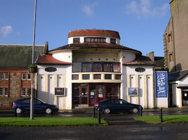
Campbeltown Picture House
The Campbeltown Picture House is a theatre located in Campbeltown, Scotland. Opened in 1913, it was one of the first purpose-built cinemas in Scotland...
Nearby Amenities
Located within 500m of 55.396235,-5.5285557Have you been to Achinhoan Head?
Leave your review of Achinhoan Head below (or comments, questions and feedback).