Pedn Billy
Coastal Feature, Headland, Point in Cornwall
England
Pedn Billy
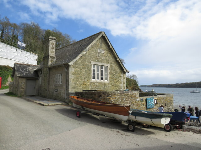
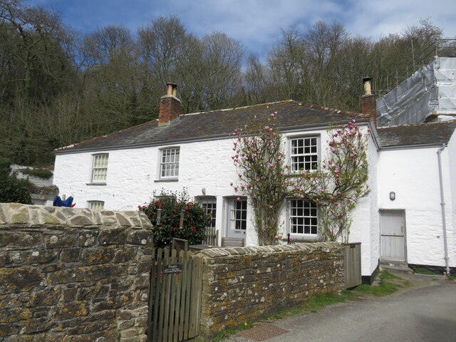
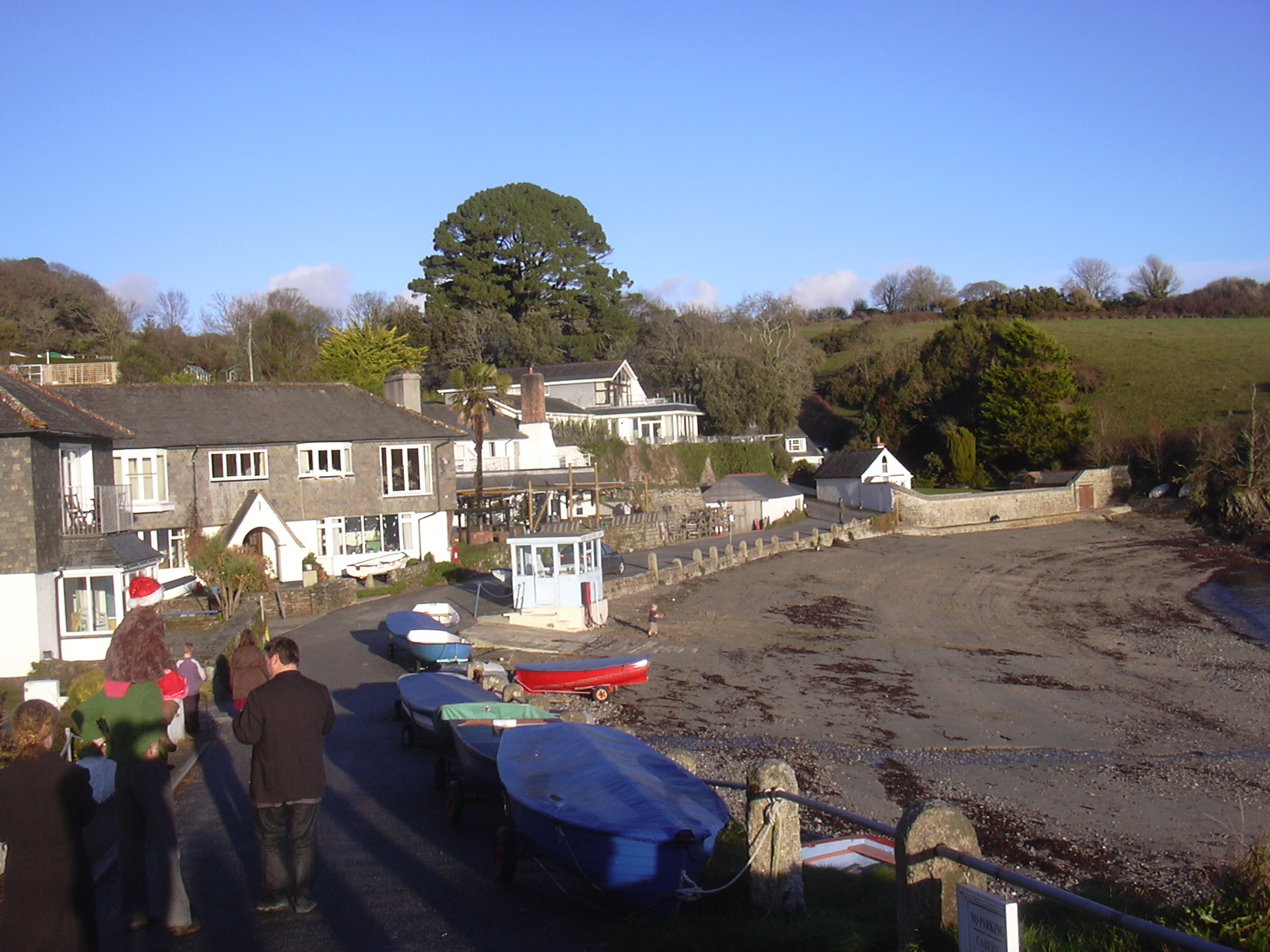
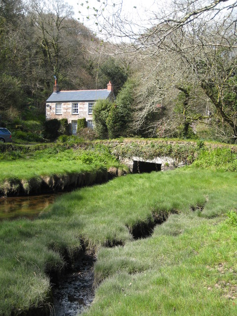
Pedn Billy is a stunning coastal feature located in Cornwall, England. It is known for its picturesque headland and point, offering breathtaking views of the surrounding coastline. Situated in the southwestern part of the country, Pedn Billy is a popular destination for tourists and locals alike.
The headland is characterized by rugged cliffs that jut out into the Atlantic Ocean, providing a dramatic backdrop to the area. These cliffs are made up of sedimentary rocks, which have been shaped by the relentless power of the waves over thousands of years. Pedn Billy is also home to a variety of marine life, including seals, dolphins, and seabirds, making it a haven for wildlife enthusiasts.
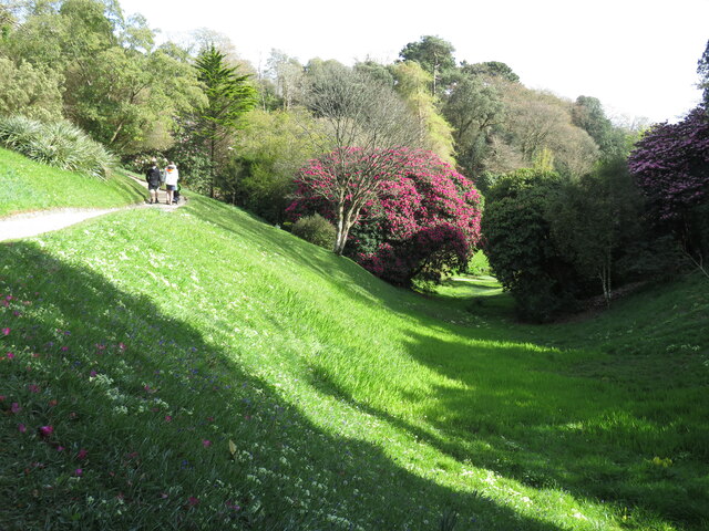
The point at Pedn Billy offers panoramic vistas of the ocean, with its elevated position providing unobstructed views of the horizon. Visitors can watch as the waves crash against the rocks below, creating a mesmerizing spectacle. The point is also a popular spot for hiking and walking, with well-maintained paths leading visitors through the rugged terrain.
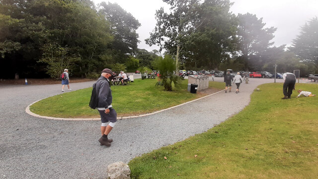
Pedn Billy is easily accessible, with a car park located nearby and a footpath leading directly to the headland. It is a fantastic place to explore the natural beauty of Cornwall's coastline, with its striking cliffs and stunning views. Whether it's for a leisurely stroll, wildlife spotting, or simply enjoying the tranquility of the ocean, Pedn Billy is a must-visit destination for nature lovers and adventure seekers alike.
If you have any feedback on the listing, please let us know in the comments section below.
Pedn Billy Images
Images are sourced within 2km of 50.100273/-5.1403238 or Grid Reference SW7526. Thanks to Geograph Open Source API. All images are credited.


Pedn Billy is located at Grid Ref: SW7526 (Lat: 50.100273, Lng: -5.1403238)
Unitary Authority: Cornwall
Police Authority: Devon and Cornwall
What 3 Words
///mills.protects.slab. Near Falmouth, Cornwall
Nearby Locations
Related Wikis

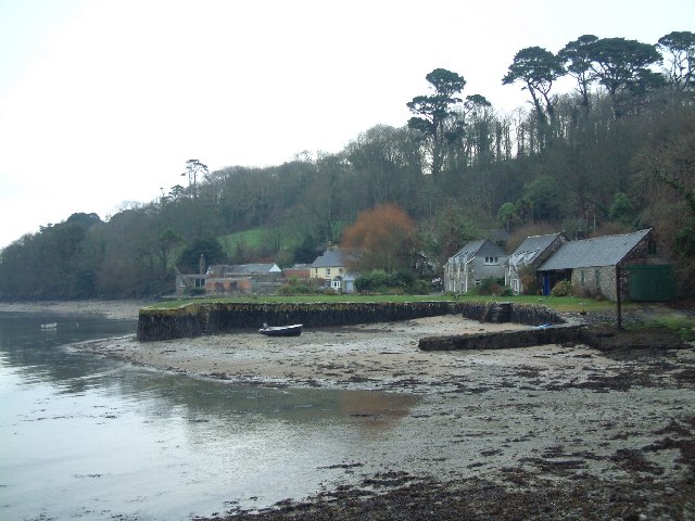
Port Navas Creek
Port Navas Creek (Cornish: Pol Chi Elow, meaning creek of the house of elm trees), or Porthnavas Creek, is one of seven creeks off the Helford River in...
Porth Navas
Porth Navas (Cornish: Porth an Navas) is a small village in Cornwall, England, UK. The village was called "Cove" until the 19th century development as...
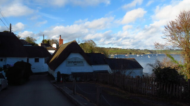
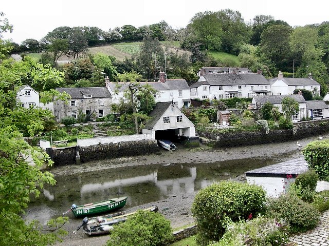
Helford Passage
Helford Passage (Cornish: Treth Heyl, meaning Estuary Beach) is a village in west Cornwall, England, United Kingdom. It is situated on the north bank of...
Treath
Treath is a hamlet east of Helford, Cornwall, England, United Kingdom. Made 1200 == References ==
Helford, Cornwall
Helford (Cornish: Heyl, meaning estuary) is a village in the civil parish of Manaccan. It is on the south bank of the Helford River in west Cornwall...
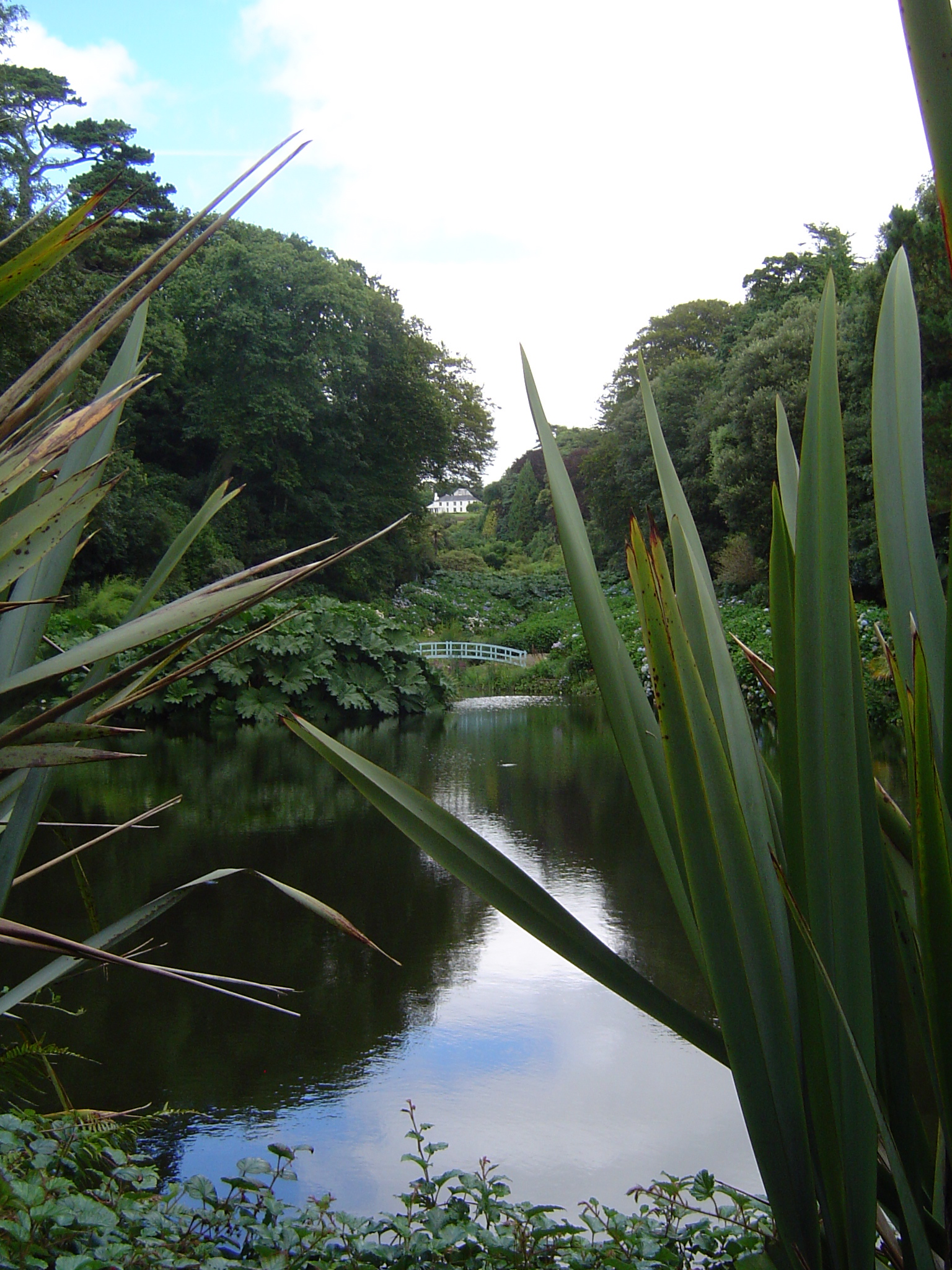
Trebah
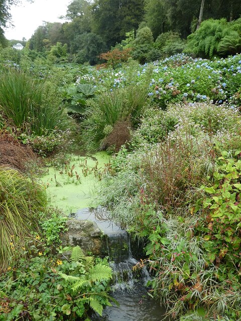
Trebah (Cornish: Tre Worabo, meaning Gorabo's farm) is a 26-acre (110,000 m2) sub-tropical garden situated in Cornwall, England, UK, near Glendurgan Garden...
Trenarth Bridge
Trenarth Bridge (Cornish: Pons Tre Nerth, meaning bridge of Nerth's farm) is at the head of the centre head of Port Navas Creek and is between Mawnan Smith...

Glendurgan Garden
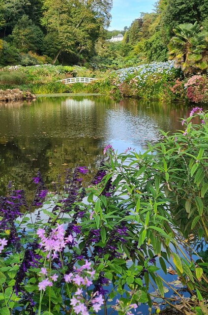
Glendurgan Garden (Cornish: Glynn Dowrgeun, meaning deep valley of otters) is a National Trust garden situated above the hamlet of Durgan on the Helford...
Nearby Amenities
Located within 500m of 50.100273,-5.1403238Have you been to Pedn Billy?
Leave your review of Pedn Billy below (or comments, questions and feedback).