An Sgùman

Coastal Feature, Headland, Point in Ross-shire

Scotland

An Sgùman

Park Cottage Park Cottage is part of the crofting community of Port Henderson, near to Gairloch.
Park Cottage Credit: Trevor Littlewood

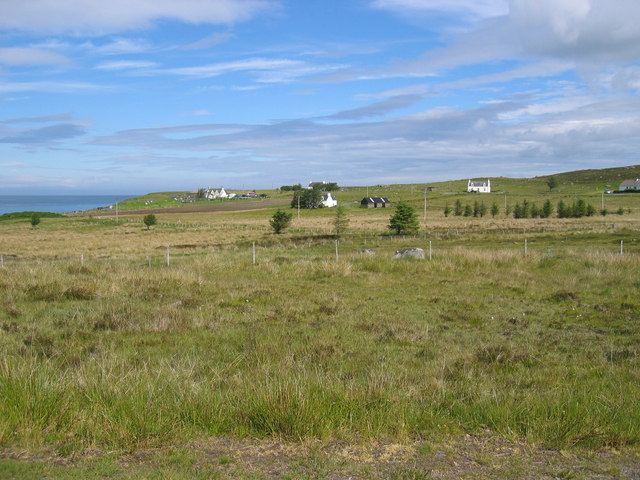
An Sgùman is a prominent headland located in Ross-shire, Scotland. It is situated on the coast, offering breathtaking views of the surrounding landscape and the vast expanse of the North Sea. The name "An Sgùman" translates to "The Needle" in English, which is a fitting description for this distinct coastal feature.

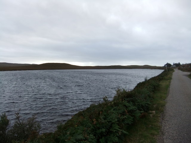
The headland is characterized by its steep cliffs, which rise dramatically from the sea. These cliffs are composed of ancient rock formations, showcasing layers of sedimentary and metamorphic rocks that have been shaped by millions of years of geological processes. Due to the exposed nature of the headland, it is often subjected to strong winds and crashing waves, adding to its dramatic appeal.

An Sgùman is a popular destination for nature enthusiasts and hikers, offering a variety of coastal trails that lead to stunning viewpoints. The headland is home to a diverse range of flora and fauna, including seabird colonies, which can be observed nesting on the cliffs. The area is also known for its rich marine life, with seals and dolphins occasionally spotted swimming in the waters below.

Visitors to An Sgùman can immerse themselves in the raw beauty of the Scottish coastline, experiencing the awe-inspiring power of nature. Whether marveling at the rugged cliffs, watching the waves crash against the rocks, or spotting wildlife in their natural habitat, exploring An Sgùman is a truly unforgettable experience for all who venture there.

If you have any feedback on the listing, please let us know in the comments section below.
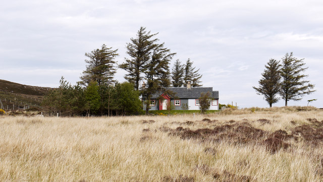
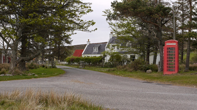
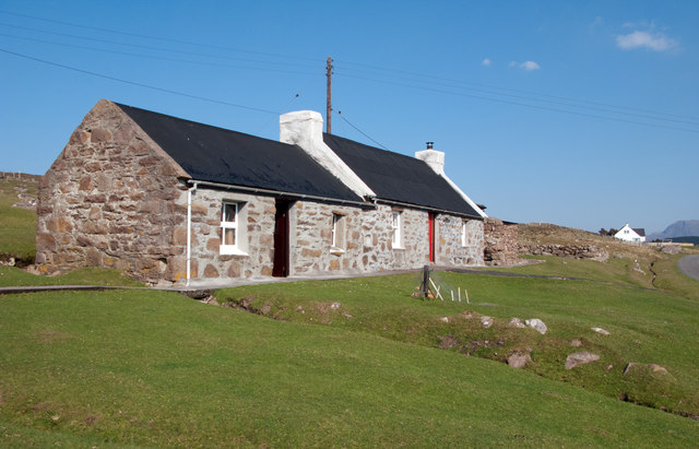
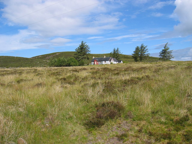
An Sgùman Images

Images are sourced within 2km of 57.698291/-5.7807327 or Grid Reference NG7473. Thanks to Geograph Open Source API. All images are credited.

Park Cottage Park Cottage is part of the crofting community of Port Henderson, near to Gairloch.
Park Cottage
Park Cottage is part of the crofting community of Port Henderson, near to Gairloch.
Road junction in Port Henderson Port Henderson is a crofting community on the south side of Loch Gairloch. The road crossing the image from left to right is the B8056.
Road junction in Port Henderson
Port Henderson is a crofting community on the south side of Loch Gairloch. The road crossing the image from left to right is the B8056.
Opinan Opinan is a crofting community astride the B8056 which is the road at the right side of the image.
Opinan
Opinan is a crofting community astride the B8056 which is the road at the right side of the image.
Moorland at Port Henderson Port Henderson is a crofting settlement at the south side of Loch Gairloch astride the B8056; from that road the minor road in the image heads out towards Sròn na Carra; the view is from the road end.
Moorland at Port Henderson
Port Henderson is a crofting settlement at the south side of Loch Gairloch astride the B8056; from that road the minor road in the image heads out towards Sròn na Carra; the view is from the road end.
Cottage at Port Henderson Port Henderson is a crofting community to the south of Loch Gairloch. The cottage is beside a minor road north of the B8056 and appears to have been renovated in recent times; it's doubtful if its present owner(s) follow a crofting life, it being more likely a holiday home now.
Cottage at Port Henderson
Port Henderson is a crofting community to the south of Loch Gairloch. The cottage is beside a minor road north of the B8056 and appears to have been renovated in recent times; it's doubtful if its present owner(s) follow a crofting life, it being more likely a holiday home now.
Park Cottage near Port Henderson
Port Henderson crofting community
Coastal moorland near Opinan
Old croft at Opinan
Old croft at Opinan
Opinan
Opinan
Looking north over Port Henderson to Gairloch
Loch bad na h-Aclaise
Uamh an Fhreiceadain The literal English translation of the name of this hillock (40m above sea level) is 'the Cave of the Guard.' Clearly this is not a cave but is named after the cave which is nearby. It is reported to be the last defensive position held by the MacLeods of Gairloch before they were expelled by the Mackenzies in the 16th century.
Uamh an Fhreiceadain
The literal English translation of the name of this hillock (40m above sea level) is 'the Cave of the Guard.' Clearly this is not a cave but is named after the cave which is nearby. It is reported to be the last defensive position held by the MacLeods of Gairloch before they were expelled by the Mackenzies in the 16th century.
Loch Bad na h-Achlaise Looking directly across the western part of the loch.
Loch Bad na h-Achlaise
Looking directly across the western part of the loch.
Port Henderson Looking over some of the houses of this scattered community to the bay beyond. The houses of Big Sand can be seen in the distance.
Port Henderson
Looking over some of the houses of this scattered community to the bay beyond. The houses of Big Sand can be seen in the distance.
Wind blown surf Bad weather approaching too...
Wind blown surf
Bad weather approaching too...
Croft land, Port Henderson What was improved croft land is gradually reverting to rushes.
Croft land, Port Henderson
What was improved croft land is gradually reverting to rushes.
Cottages in Port Henderson The building on the left has gained a red roof since Anne Burgess photographed it 40 years earlier - <a href="https://www.geograph.org.uk/photo/7495">NG7573 : Port Henderson</a>
Not much else has changed here.
Cottages in Port Henderson
The building on the left has gained a red roof since Anne Burgess photographed it 40 years earlier - NG7573 : Port Henderson Not much else has changed here.
Show me another place!

An Sgùman is located at Grid Ref: NG7473 (Lat: 57.698291, Lng: -5.7807327)

Unitary Authority: Highland

Police Authority: Highlands and Islands

What 3 Words

///transit.funds.stowing. Near Gairloch, Highland

Related Wikis

Port Henderson

Port Henderson (Scottish Gaelic: Portaigil) is a fishing village on the south west shore of the Gair Loch near the village of Gairloch, Ross-shire, Scottish...

Opinan, Gairloch

Opinan (Scottish Gaelic: Na h-Òbaidhnean) is a fishing village on the west coast of Scotland in Gairloch, Ross-shire, Scottish Highlands and is in the...

South Erradale

South Erradale is a small hamlet, situated on the coastline and to the southwest of Gairloch in Ross and Cromarty, Scottish Highlands and is in the Scottish...

Badachro

Badachro (Scottish Gaelic: Bad a' Chrò) is a former fishing village, in the northwest Highlands of Scotland. == Geography == Badachro sits about 3 km south...

Nearby Amenities

Located within 500m of 57.698291,-5.7807327
Source: PGS
Lat/Long: 57.6970278/-5.7739804
Source: PGS
Lat/Long: 57.6975495/-5.7755195
Source: PGS
Lat/Long: 57.697683/-5.7759747
Created By: almien_coastlines
Source: PGS
Lat/Long: 57.697727/-5.777173
Source: PGS
Lat/Long: 57.6974314/-5.7778633
Source: PGS
Lat/Long: 57.6973091/-5.7779863
Source: PGS
Lat/Long: 57.6976733/-5.779344
Source: PGS
Lat/Long: 57.6983575/-5.7798897
Source: PGS
Lat/Long: 57.6984468/-5.7801291
Source: PGS
Lat/Long: 57.6981/-5.7811457
Source: PGS
Lat/Long: 57.6975916/-5.7817254
Source: PGS
Lat/Long: 57.6975916/-5.7844226
Source: PGS
Lat/Long: 57.6975615/-5.7847432
Source: PGS
Lat/Long: 57.6972562/-5.785777
Source: PGS
Lat/Long: 57.6971658/-5.7858628
Source: PGS
Lat/Long: 57.6965882/-5.7864824
Source: PGS
Lat/Long: 57.6965772/-5.7869363
Created By: almien_coastlines
Source: PGS
Lat/Long: 57.696847/-5.788108
Source: PGS
Lat/Long: 57.6973117/-5.7885165
Barrier: cattle_grid
Source: survey
Lat/Long: 57.6948471/-5.7753543
An Sgùman
Natural: cape
Lat/Long: 57.6983283/-5.7802786
Creag Mhaol
Natural: cape
Lat/Long: 57.6977913/-5.7762227
Port an Sgùmain
Natural: bay
Lat/Long: 57.6980072/-5.7782402
Camas nan Raineach
Natural: bay
Lat/Long: 57.6979728/-5.7829179
Camas nan Bloighd
Natural: bay
Lat/Long: 57.6972963/-5.7871022
Uamh an Fhreiceadain
Description: presumably a cave based on the name?
Place: locality
Lat/Long: 57.6948767/-5.7849779
Power: pole
Lat/Long: 57.6956872/-5.774656
Power: pole
Lat/Long: 57.6954455/-5.7757211
Power: pole
Lat/Long: 57.6947477/-5.7766908
Power: pole
Lat/Long: 57.6945753/-5.7761544
Power: pole
Lat/Long: 57.694866/-5.7771393
Power: pole
Lat/Long: 57.6951088/-5.7780536
Power: pole
Lat/Long: 57.6953343/-5.7788859
Power: pole
Lat/Long: 57.6956474/-5.7800483
Power: pole
Lat/Long: 57.6960514/-5.7808614
Power: pole
Lat/Long: 57.6964992/-5.7817223
Power: pole
Lat/Long: 57.6964961/-5.7825507
Power: pole
Lat/Long: 57.6964961/-5.7835108
Power: pole
Lat/Long: 57.6962345/-5.7840353
Power: pole
Lat/Long: 57.6957324/-5.7800608
Power: pole
Lat/Long: 57.6959261/-5.7797363
Power: pole
Lat/Long: 57.6961646/-5.7793214
Power: pole
Lat/Long: 57.6964744/-5.7792848
Power: pole
Lat/Long: 57.6964856/-5.7798554
Power: pole
Lat/Long: 57.696494/-5.7808146
The data included in this document is from www.openstreetmap.org. The data is made available under ODbL.

Have you been to An Sgùman?

Leave your review of An Sgùman below (or comments, questions and feedback).