Black Stones
Coastal Feature, Headland, Point in Pembrokeshire
Wales
Black Stones
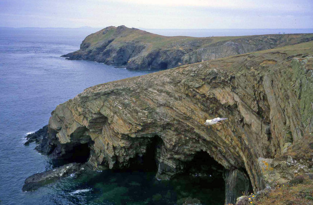
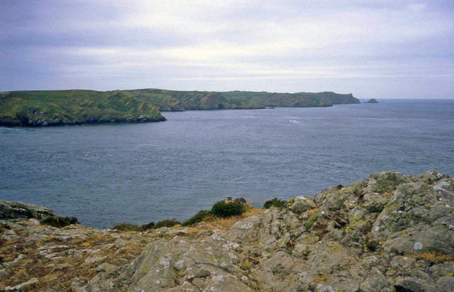
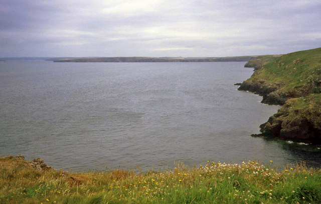
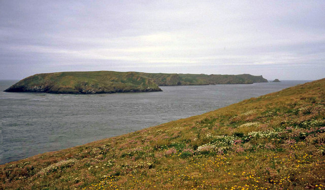
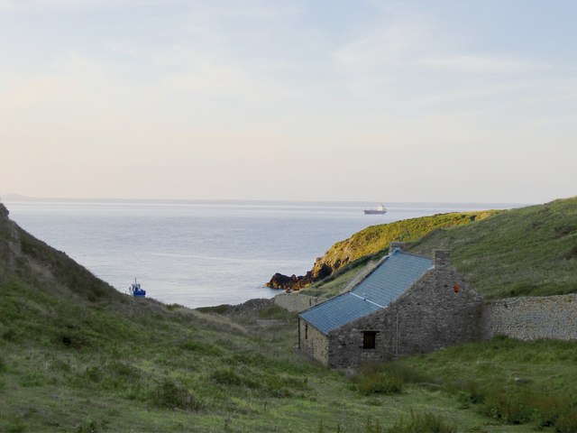
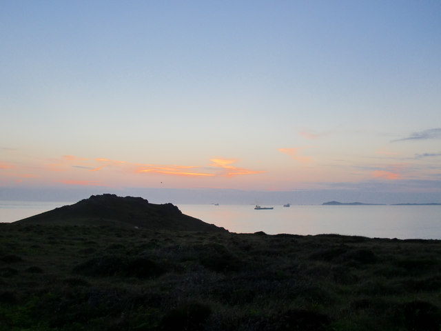
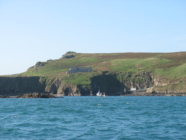
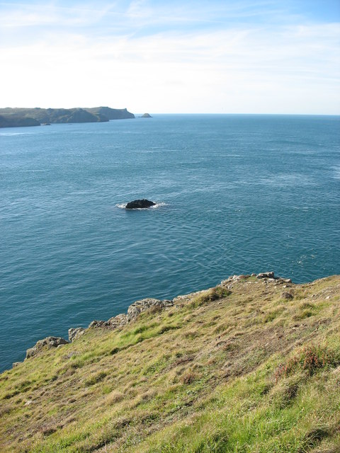
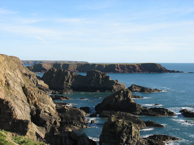
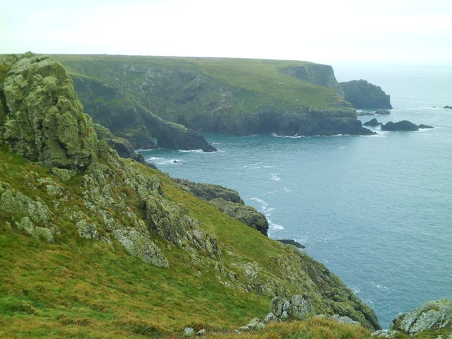
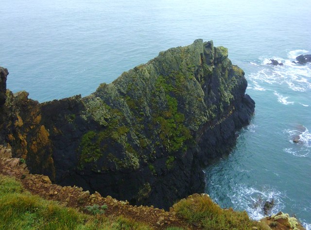
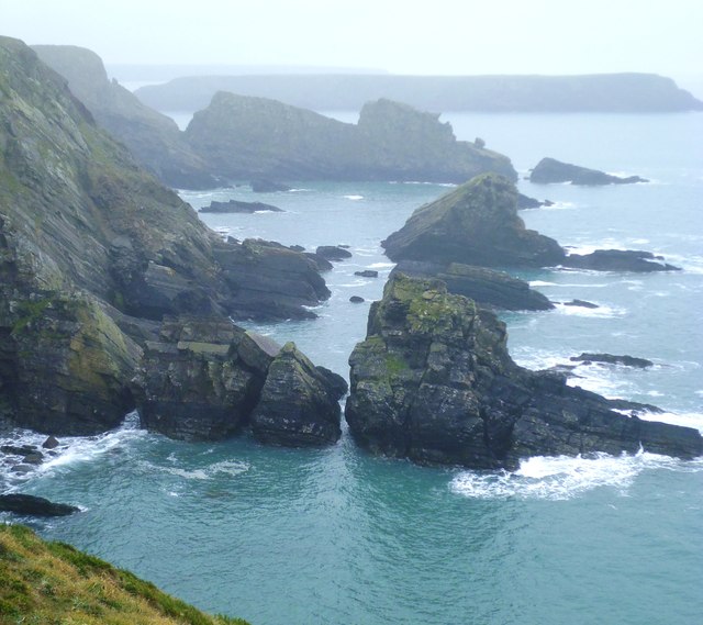
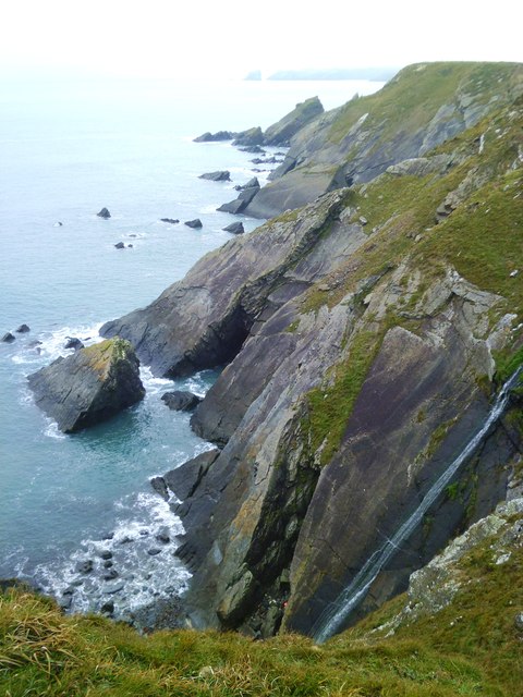
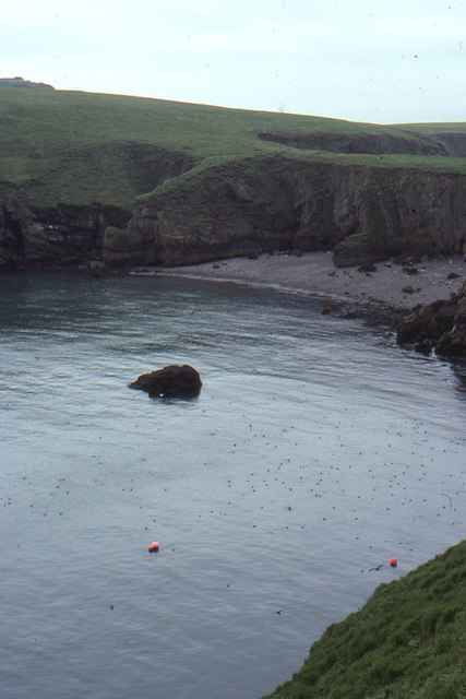
Black Stones is a prominent coastal feature located in Pembrokeshire, Wales. This headland is known for its rugged cliffs and unique black rock formations, which give the area its name. The black stones are comprised of dark volcanic rock, creating a stark contrast against the surrounding green landscape.
The headland offers stunning views of the Irish Sea and is a popular spot for birdwatching and wildlife viewing. Visitors can often spot seabirds such as gannets and puffins, as well as seals and dolphins in the waters below.
The area is also rich in history, with evidence of prehistoric settlements and ancient burial mounds scattered throughout the landscape. The nearby coastal path offers visitors the opportunity to explore the area further and discover its fascinating past.
Black Stones is a peaceful and picturesque destination for nature lovers and outdoor enthusiasts. Whether taking in the dramatic views from the cliffs or exploring the rugged coastline, visitors to Black Stones are sure to be captivated by its beauty and tranquility.
If you have any feedback on the listing, please let us know in the comments section below.
Black Stones Images
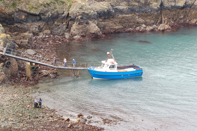
Images are sourced within 2km of 51.730241/-5.2628365 or Grid Reference SM7408. Thanks to Geograph Open Source API. All images are credited.
Black Stones is located at Grid Ref: SM7408 (Lat: 51.730241, Lng: -5.2628365)
Unitary Authority: Pembrokeshire
Police Authority: Dyfed Powys
What 3 Words
///petal.fresh.landlords. Near Dale, Pembrokeshire
Nearby Locations
Related Wikis

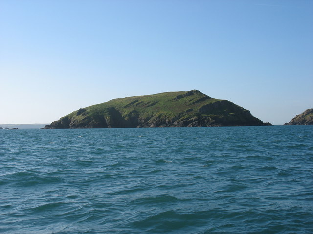
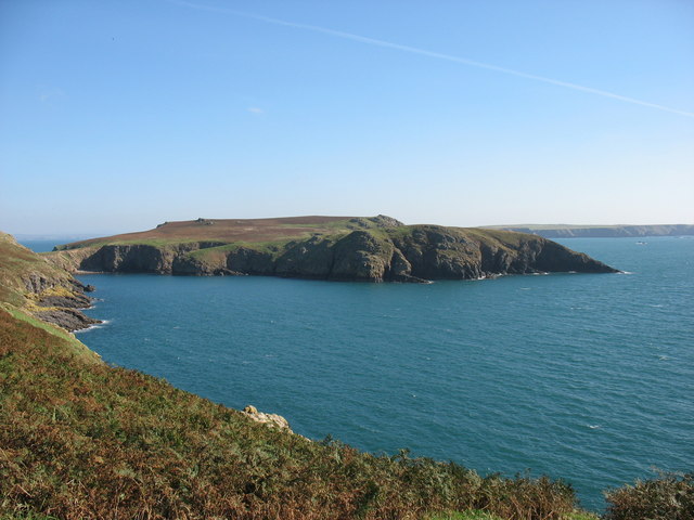
Middleholm
Middleholm, also known as Midland Isle, is a small island lying off southwest Pembrokeshire in Wales, between the island of Skomer and the mainland in...

Jack Sound
Jack Sound is a treacherous body of water about 800 metres (2,600 ft) wide between the island of Skomer and the Pembrokeshire mainland that contains numerous...

Skomer Marine Conservation Zone
Skomer Marine Conservation Zone is an underwater marine nature reserve located off the coast of Pembrokeshire in Wales. The nature reserve completely surrounds...

Martin's Haven
Martin's Haven is a small bay in Pembrokeshire, Wales, UK, on the Dale Peninsula, with views across St Bride's Bay towards St David's. Its shingle beach...
Have you been to Black Stones?
Leave your review of Black Stones below (or comments, questions and feedback).