Carn Porth-llong
Coastal Feature, Headland, Point in Pembrokeshire
Wales
Carn Porth-llong
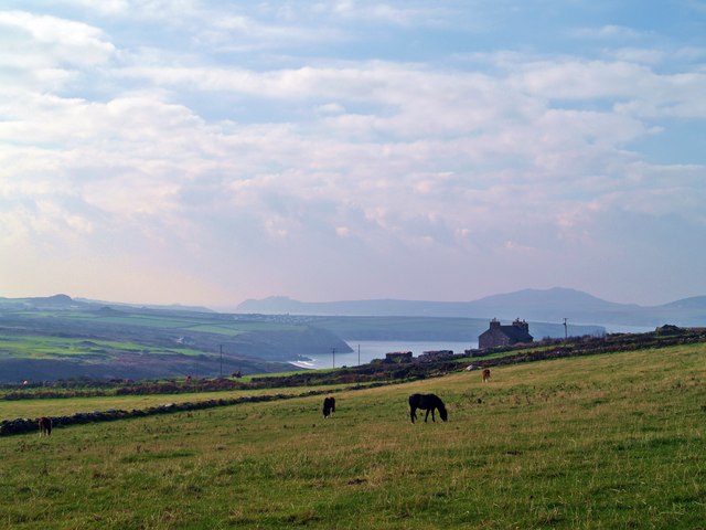
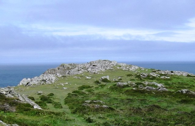
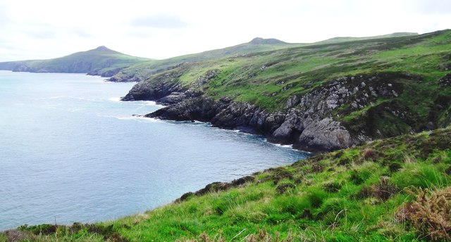
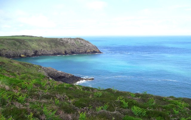
Carn Porth-llong is a prominent headland located in Pembrokeshire, Wales. Situated on the stunning coastline, it is known for its rugged cliffs, expansive views, and rich natural beauty. The name "Carn Porth-llong" translates to "Rocky Cove" in English, perfectly capturing the essence of this coastal feature.
The headland is formed by layers of sandstone and limestone, creating dramatic cliffs that tower above the sea. These cliffs provide nesting sites for various seabirds, including fulmars, gulls, and razorbills, making it a popular spot for birdwatchers. The headland is also home to a diverse range of plant species, with heather, gorse, and wildflowers adding vibrant colors to the landscape.
One of the highlights of Carn Porth-llong is the magnificent view it offers. From the top of the headland, visitors can enjoy panoramic vistas of the turquoise waters of the Celtic Sea, the sandy beaches below, and the rugged coastline stretching into the distance. On a clear day, it is even possible to see the distant islands of Skomer and Skokholm.
Access to Carn Porth-llong is relatively easy, with a well-maintained path leading from a nearby car park. The path meanders along the cliff edge, providing breathtaking views along the way. It is advisable to wear appropriate footwear and take caution near the cliff edges due to their steep and occasionally unstable nature.
Overall, Carn Porth-llong is a captivating coastal feature in Pembrokeshire, offering visitors an opportunity to immerse themselves in the beauty of the Welsh coastline and marvel at its natural wonders.
If you have any feedback on the listing, please let us know in the comments section below.
Carn Porth-llong Images
Images are sourced within 2km of 51.90849/-5.3041241 or Grid Reference SM7228. Thanks to Geograph Open Source API. All images are credited.


Carn Porth-llong is located at Grid Ref: SM7228 (Lat: 51.90849, Lng: -5.3041241)
Unitary Authority: Pembrokeshire
Police Authority: Dyfed Powys
What 3 Words
///briefer.solving.allowable. Near St Davids, Pembrokeshire
Nearby Locations
Related Wikis
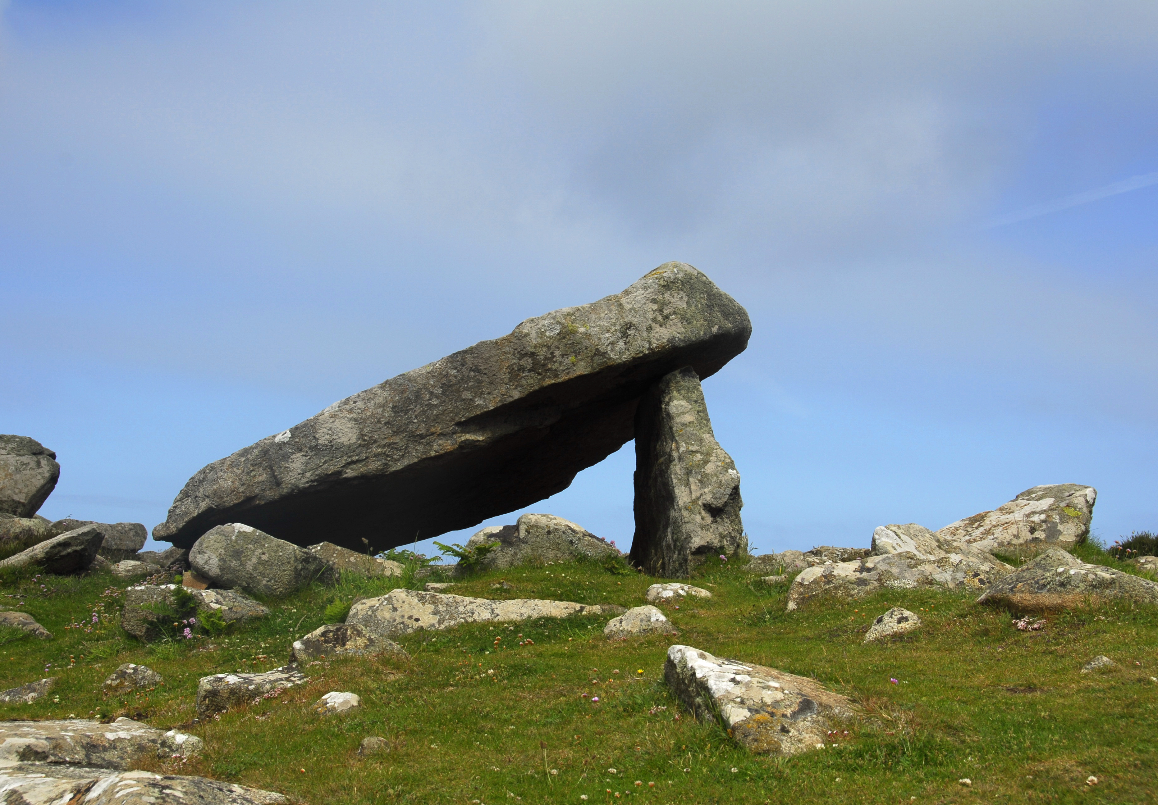
Coetan Arthur
Coetan Arthur dolmen, also known as Arthur's Quoit (not to be confused with Carreg Coetan Arthur, near Newport) is the remains of a Neolithic burial chamber...
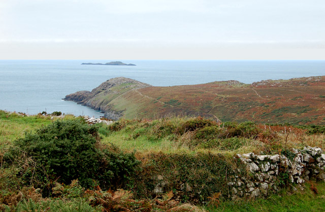
St David's Head
St David's Head (Welsh: Penmaen Dewi) is a headland in the Pembrokeshire Coast National Park, southwest Wales, which marks the divide between the Irish...

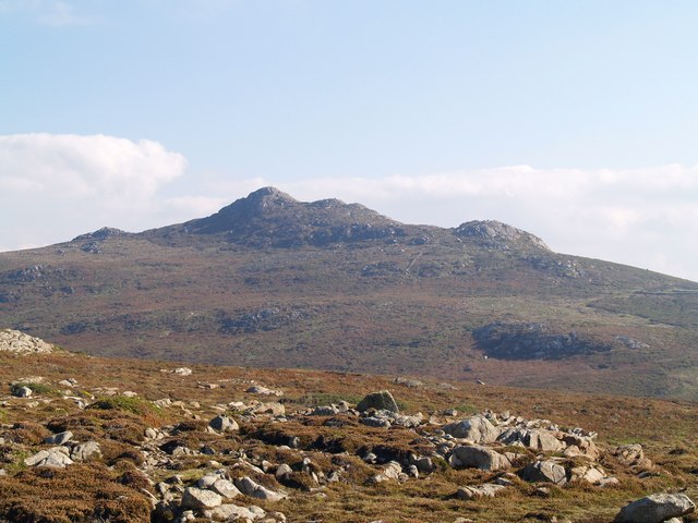
Carn Llidi
Carn Llidi is a hill east of St David's Head in Pembrokeshire, Wales. Carn Llidi and its surrounding area is part of the Pembrokeshire Coast National Park...
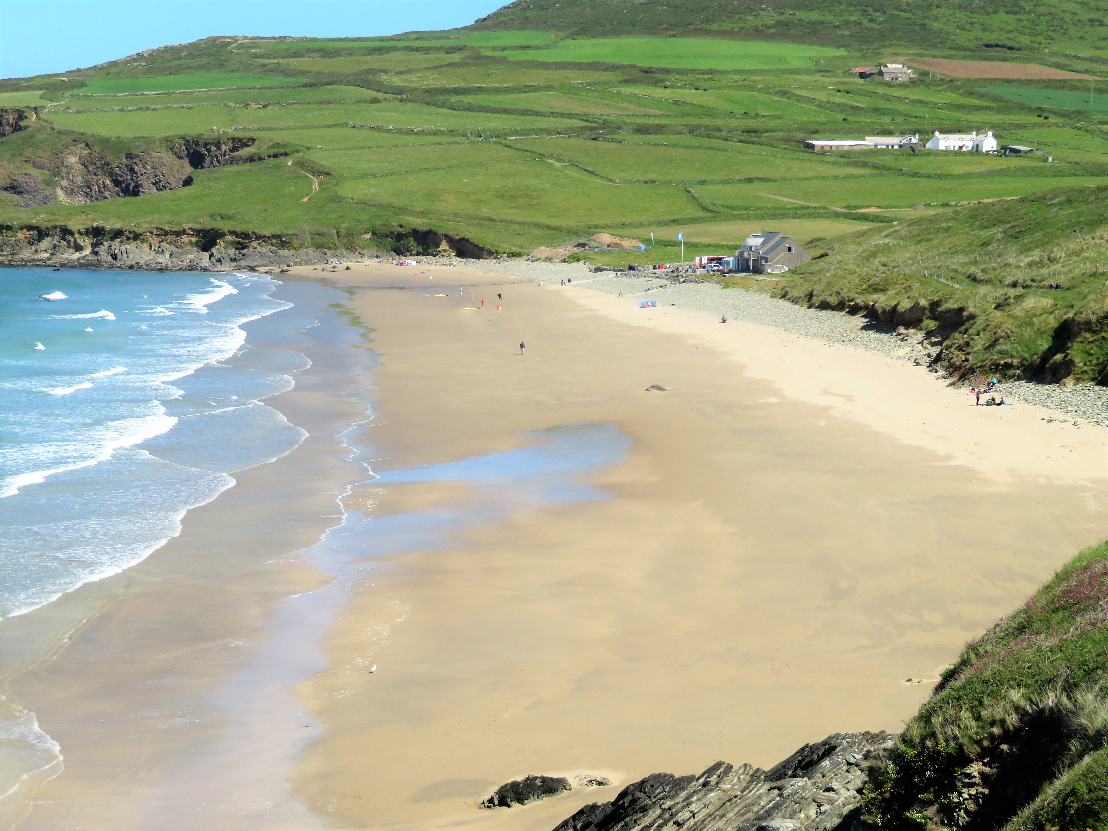
Whitesands Bay (Pembrokeshire)
Whitesands Bay (Welsh: Porth Mawr) is a Blue Flag beach situated on the St David's peninsula in the Pembrokeshire Coast National Park, Wales. Whitesand...
Nearby Amenities
Located within 500m of 51.90849,-5.3041241Have you been to Carn Porth-llong?
Leave your review of Carn Porth-llong below (or comments, questions and feedback).